マレー郡のおすすめMTBライド
5.0
(2)
157
ライダー
15
ライド
マレー郡でマウンテンバイクを楽しめば、ジョージアのこのエリアをより深く知ることができます。このエリアを最大限に満喫できるように、komootがマウンテンバイクルートのコレクション全体を評価して選び抜いた人気ルートをご紹介します。次の冒険にぴったりのマウンテンバイクルートを見つけるには、以下のルートをクリックしてkomootのマウンテンバイクコミュニティのメンバーが投稿した役立つ情報や写真を閲覧し、各ルートに関してみんなが気に入った点などを参考にしましょう。
最終更新日: 9月 13, 2026
8
ライダー
Embark on the Bear Creek and Pinhoti Loop for a moderate mountain biking adventure spanning 11.1 miles (17.9 km) with an elevation gain of 1837 feet (560 metres). This route,…
5
ライダー
17.6km
01:37
400m
400m
Prepare for a rewarding mountain biking experience on the Bear Creek and Pinhoti Loop, a moderate route that covers 11.0 miles (17.6 km). You will gain 1312 feet (400 metres)…

1
ライダー
15.0km
01:29
370m
370m
Embark on the Gahuti Trail for a moderate mountain biking adventure spanning 9.3 miles (15.0 km) with a total elevation gain of 1208 feet (368 metres). You can expect to…
24.6km
02:31
560m
560m
Embark on the West Cowpen and Sumac Creek Loop for a moderate mountain biking adventure spanning 15.3 miles (24.6 km) with an elevation gain of 1834 feet (559 metres). This…
18.1km
01:46
360m
360m
Embark on the Iron Mountain Loop, a moderate mountain biking adventure spanning 11.3 miles (18.1 km) with an elevation gain of 1189 feet (362 metres). This route typically takes about…
5.0
(1)
28
ライダー
24.3km
02:22
540m
540m
中程度のマウンテンバイクライド. ある程度のフィットネスレベルが必要です。 あらゆるスキルレベルに適しています。
18
ライダー
14.8km
01:27
340m
340m
中程度のマウンテンバイクライド. ある程度のフィットネスレベルが必要です。 あらゆるスキルレベルに適しています。
13
ライダー
66.2km
05:24
1,280m
1,280m
難しいマウンテンバイクライド. 標準以上のフィットネスレベルが必要です。 あらゆるスキルレベルに適しています。
13
ライダー
68.2km
06:21
1,690m
1,690m
難しいマウンテンバイクライド. 標準以上のフィットネスレベルが必要です。 あらゆるスキルレベルに適しています。
11
ライダー
40.2km
04:09
1,130m
1,130m
難しいマウンテンバイクライド. 標準以上のフィットネスレベルが必要です。 あらゆるスキルレベルに適しています。
さらに多くのルートや他のユーザーのおすすめ情報を確認できます。
すでにアカウントをお持ちですか?
おすすめのツアーは他のkomootユーザーが実際に経験した何千ものアクティビティに基づいています。
無料アカウントで今日から始めよう
次の冒険が待っています。




コミュニティからのヒント

The Gennett Poplar is estimated to be over 300 years old and stands over 100 feet tall.
0
0
The Pinhoti Trail's highest point, Buddy Cove Gap, has a peak elevation of 3,164 feet. There is also a large parking area here.
0
0
Barnes Creek is one of many river crossings in the area. It can be done as a rock hop most of the time, but after storms, you may get your feet wet.
0
0


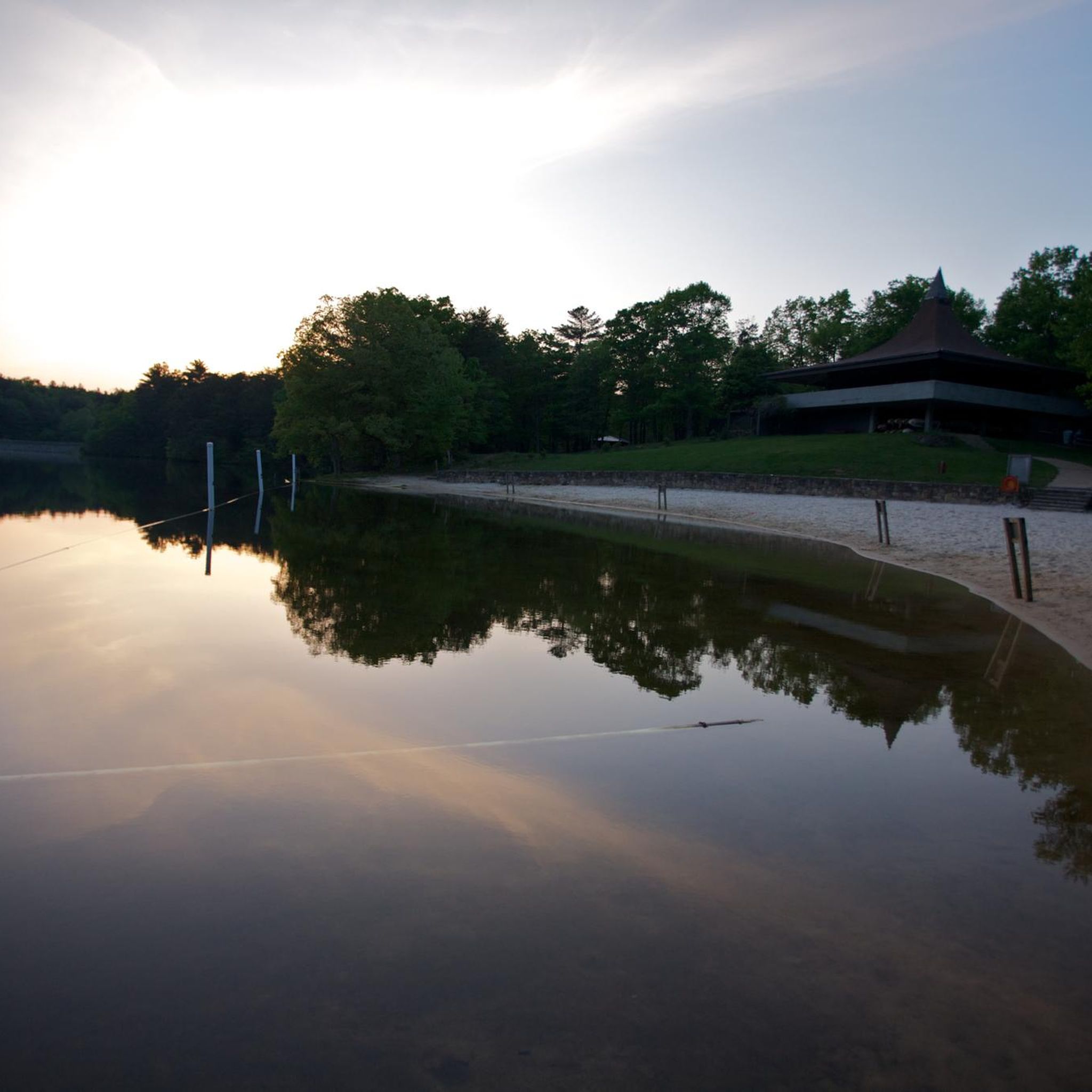
Lake Conasauga is an entirely spring-fed lake in the Chattahoochee-Oconee National Forest. There is a major USFS campground, hiking trails, and other recreation facilities at the lake. You can also take non-motorized boats and kayaks on the water.
0
0

Unfortunately the fire tower is closed for the public due to safety reasons. However, the team did a great you in renovating it.
0
0

At the right times of year, the Barnes Creek area provides spectacular wildflower viewing. It can also be quite muddy, so be prepared to walk if necessary and remember to always stick to the trail.
0
0
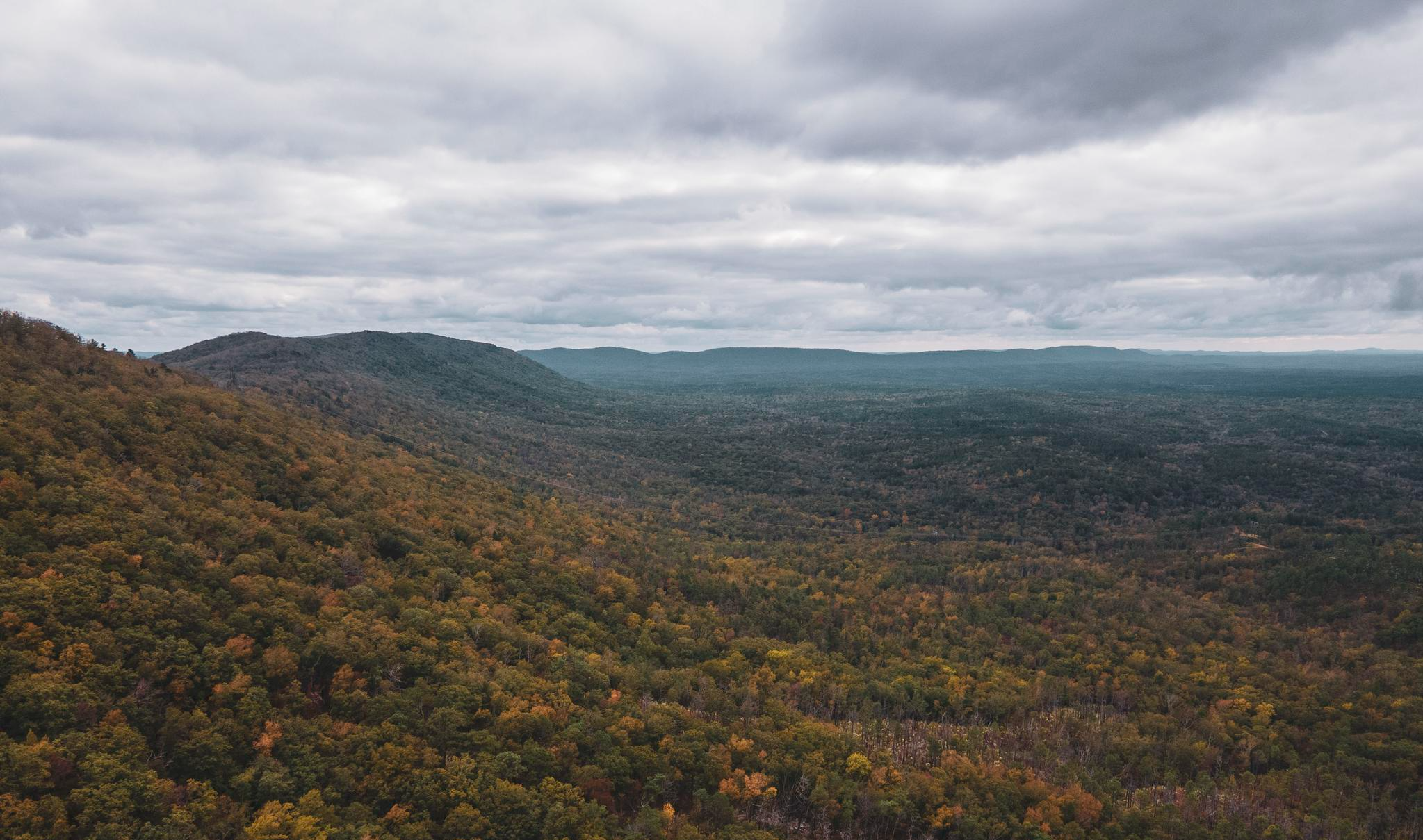
Though a common stopping point for off-road drivers in this area, the view from this overlook will remind you of how remote this part of the north Georgia mountains truly is. The weather can be very moody here, so be prepared.
0
0
マレー郡の人気観光スポット

komootモバイルアプリでインスピレーションを得よう


探していたものは見つかりませんでしたか?
マレー郡の下にある他のMTBトレイルをチェックして、目的地で完璧なルートを見つけましょう。
さらに探索
他の地域の最高のMTBトレイルを見てみましょう。
