ラ・モンターニャ・デ・ルナのおすすめランニングルート
4.3
(9)
440
ランナー
51
ランニング
ラ・モンターニャ・デ・ルナでランニングを楽しめば、このエリアをより深く知ることができます。ランニングに適した美しいルートが見つかるように、komootがラ・モンターニャ・デ・ルナでのルートのコレクション全体を評価して選び抜いた、人気ランニングトレイルをご紹介します。ルートをクリックして詳細を表示し、他のユーザーがアップロードした役立つ情報や写真を閲覧しましょう。
最終更新日: 10月 10, 2026
5.0
(2)
10
ランナー
6.45km
00:47
170m
170m
中程度のジョギング. ある程度のフィットネスレベルが必要です。 全般的に舗装された状態です。あらゆるスキルレベルに適しています。
4
ランナー
6.02km
00:46
200m
200m
中程度のジョギング. ある程度のフィットネスレベルが必要です。 全般的に舗装された状態です。あらゆるスキルレベルに適しています。

3
ランナー
難しいジョギング. 標準以上のフィットネスレベルが必要です。 全般的に進みやすいルートです。一部で、安定して歩行できる技術が必要です。
2
ランナー
難しいジョギング. 標準以上のフィットネスレベルが必要です。 全般的に進みやすいルートです。一部で、安定して歩行できる技術が必要です。
9.11km
01:07
270m
270m
中程度のジョギング. ある程度のフィットネスレベルが必要です。 全般的に進みやすいルートです。一部で、安定して歩行できる技術が必要です。
16.7km
02:30
770m
770m
難しいジョギング. 標準以上のフィットネスレベルが必要です。 安定して歩行できる技術、丈夫な靴、高標高地での登山経験が必要です。
10.3km
01:30
460m
460m
難しいジョギング. 標準以上のフィットネスレベルが必要です。 全般的に進みやすいルートです。一部で、安定して歩行できる技術が必要です。
難しいジョギング. 標準以上のフィットネスレベルが必要です。 安定して歩行できる技術、丈夫な靴、高標高地での登山経験が必要です。
15.6km
02:55
1,050m
1,050m
難しいジョギング. 標準以上のフィットネスレベルが必要です。 安定して歩行できる技術、丈夫な靴、高標高地での登山経験が必要です。
5.0
(1)
33
ランナー
5.95km
00:52
260m
260m
難しいジョギング. ある程度のフィットネスレベルが必要です。 安定して歩行できる技術、丈夫な靴、高標高地での登山経験が必要です。
さらに多くのルートや他のユーザーのおすすめ情報を確認できます。
すでにアカウントをお持ちですか?
おすすめのツアーは他のkomootユーザーが実際に経験した何千ものアクティビティに基づいています。
無料アカウントで今日から始めよう
次の冒険が待っています。
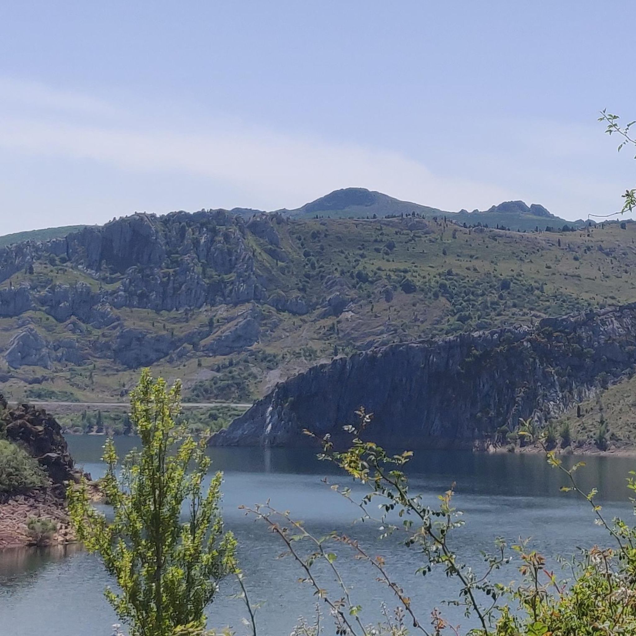
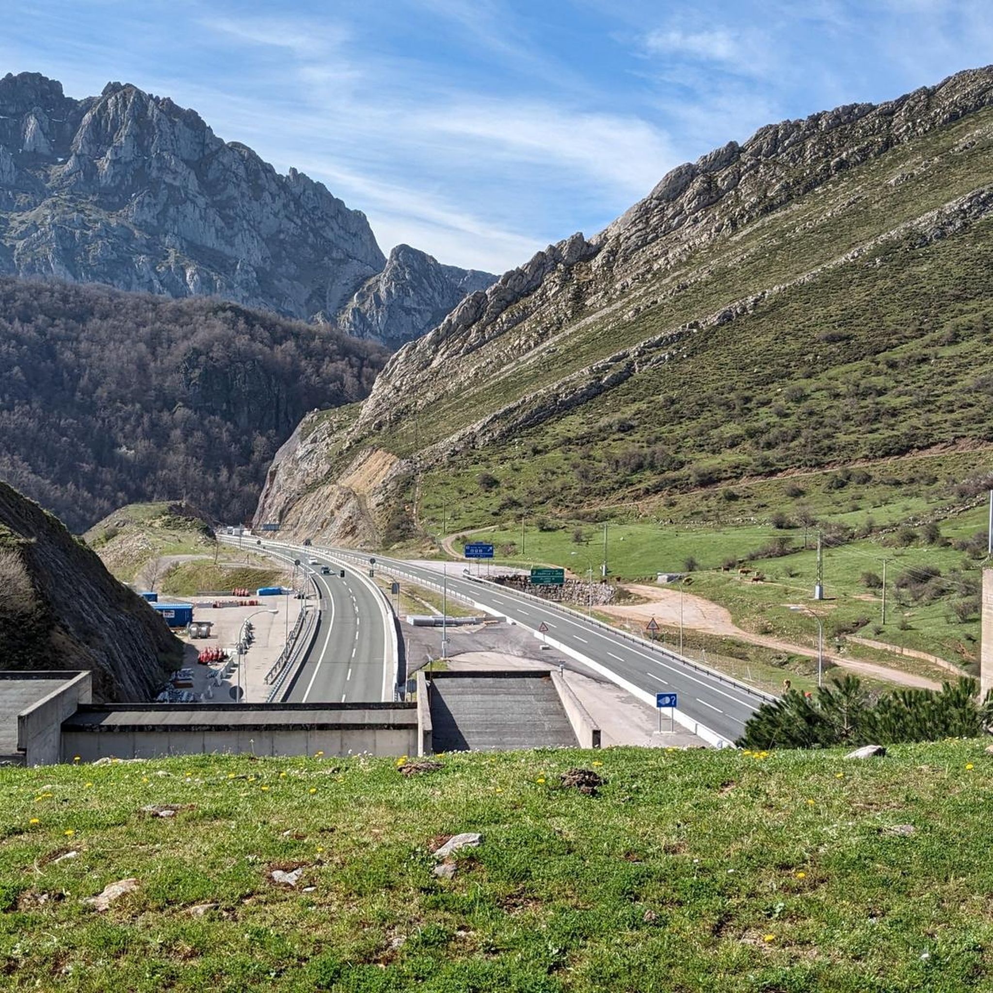
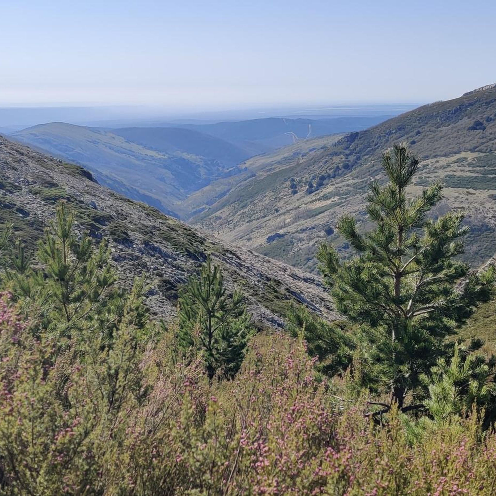
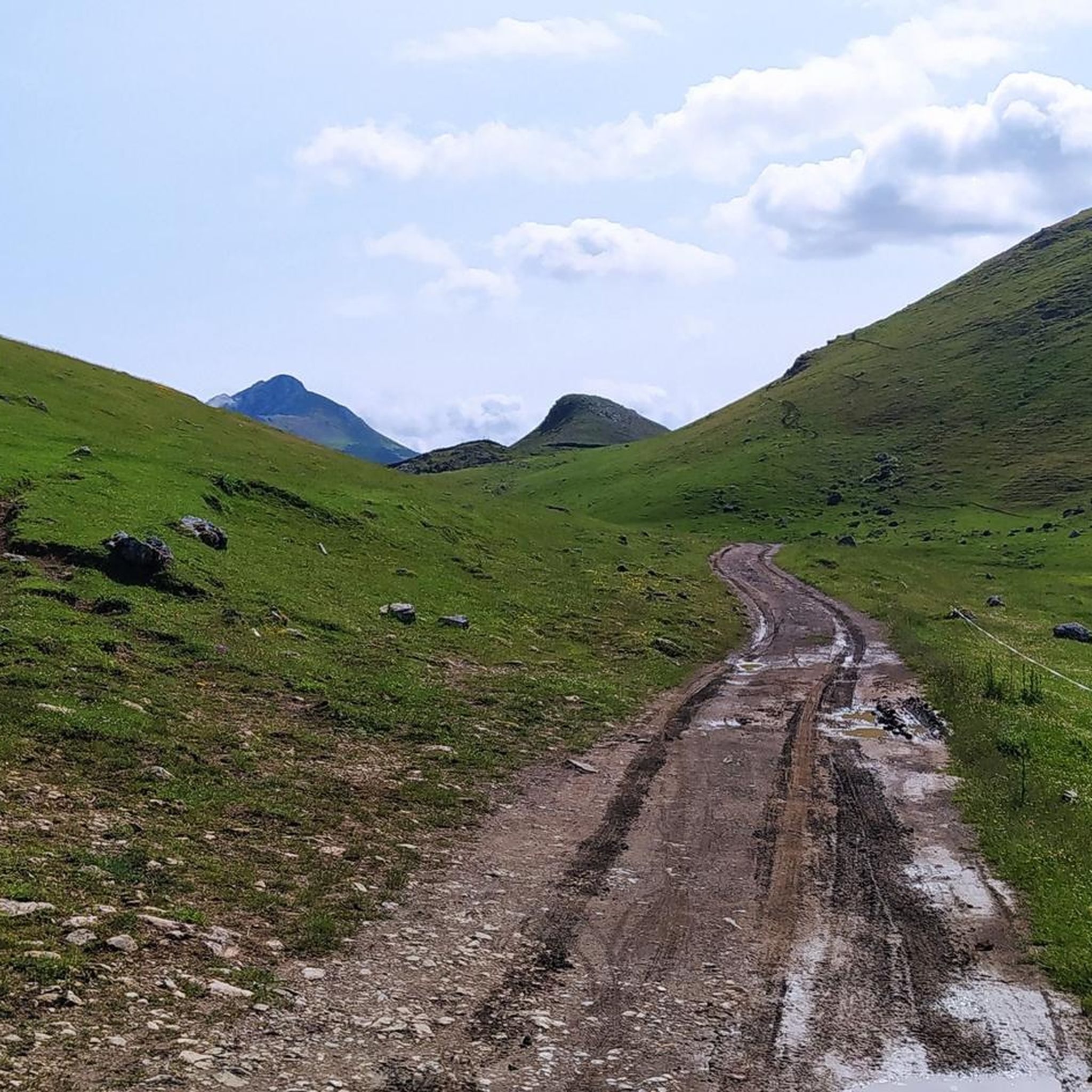
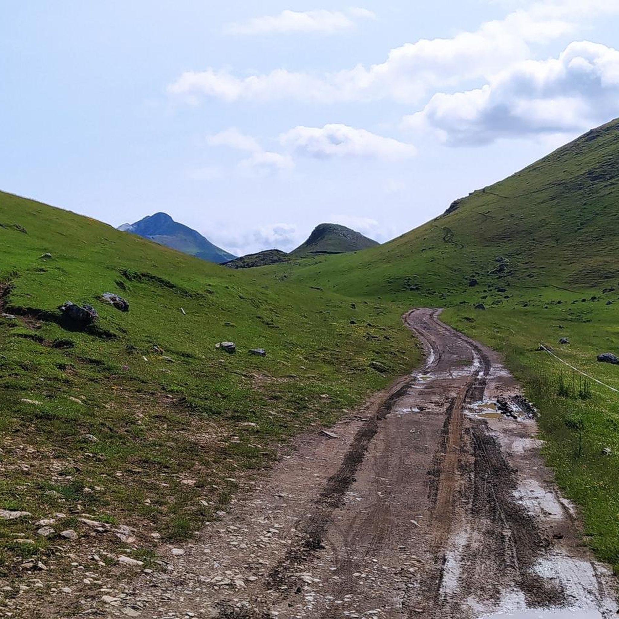
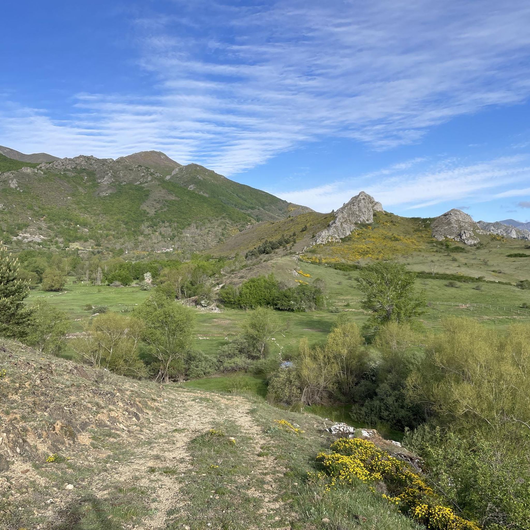
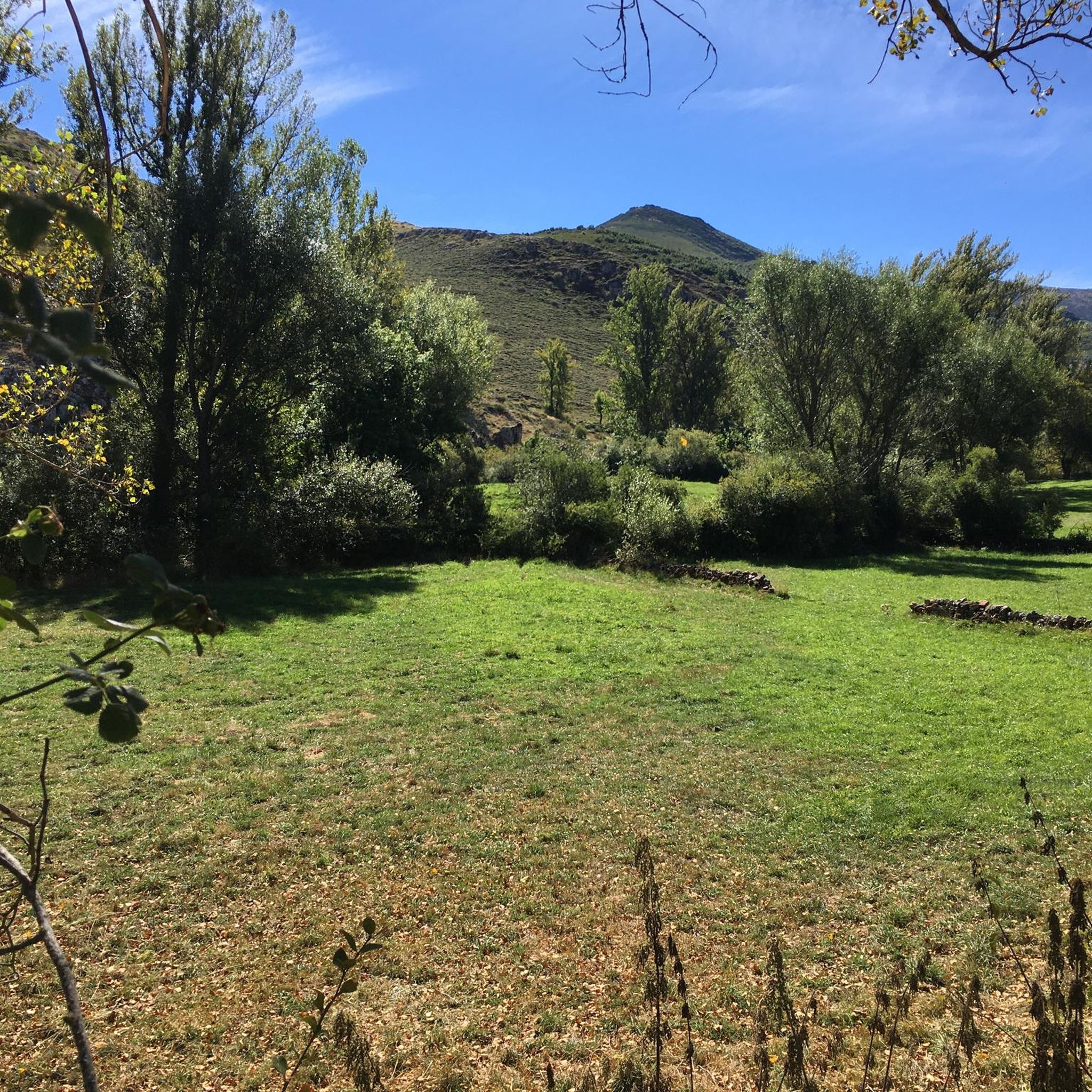
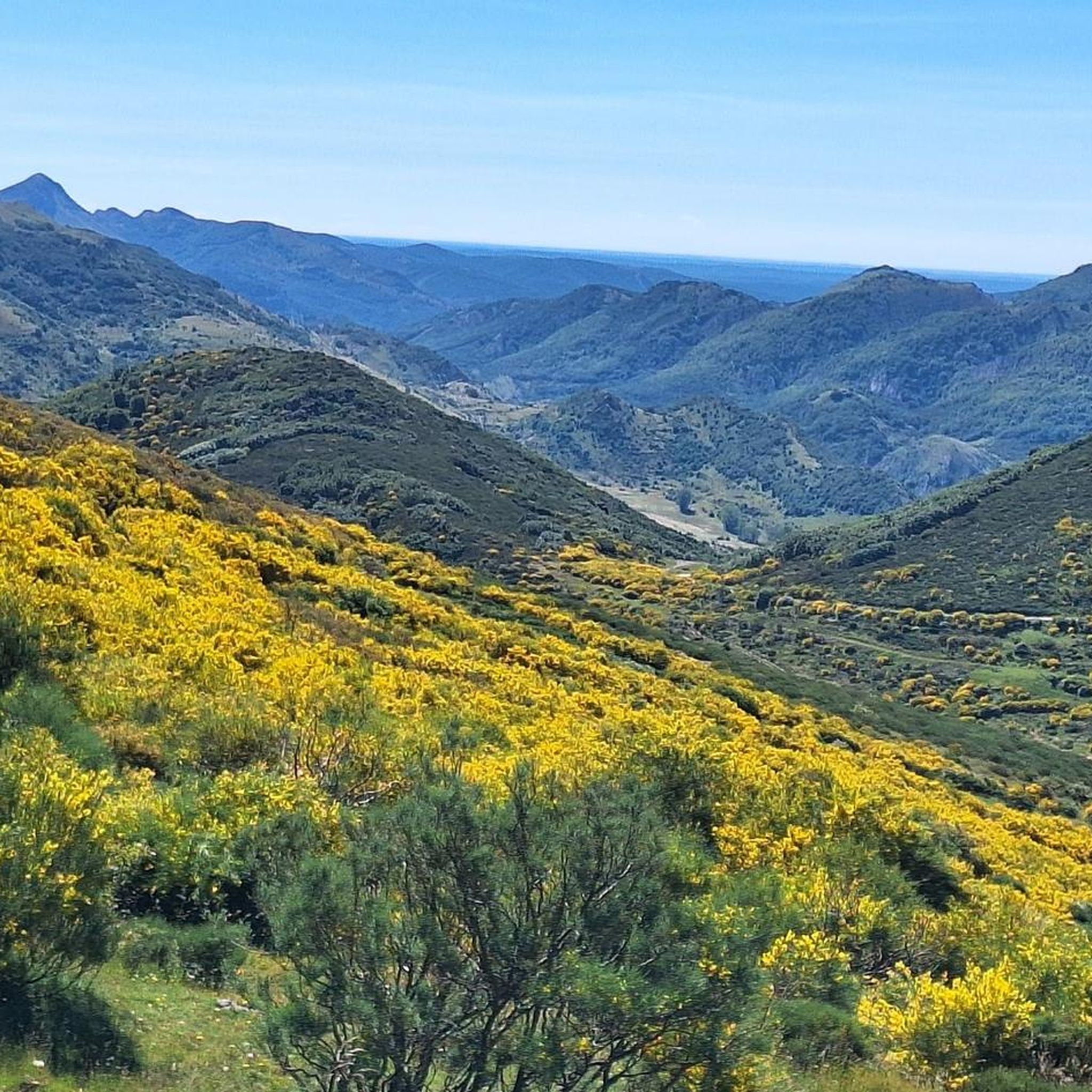
ラ・モンターニャ・デ・ルナでのの他の冒険


コミュニティからのヒント


The pass is now paved and can be driven on by car.
1
0

During the mining era, this pass served as a discreet link between mines on either side, and minimal traces of old cart and mule traffic remain, though they don't coincide with the current road. From above, the wind is almost constant, and the view towards the Saliencia lakes has that air of a "natural viewpoint" before the term even existed. It's perfect to mark on Komoot as a key point on your route due to its spaciousness, its somewhat hidden history, and its character as a natural border.
1
0
A glacial lake nestled between limestone walls, with a little-known detail: beneath the surrounding meadow, remnants of the old road used to transport materials for the region's former water network are still visible—a nearly erased trace that lends the place a dual character, both natural and industrious. The lake changes dramatically with the light: on cloudy days it appears opaque and heavy, but in sunlight it displays an intense green that reveals its depth and rocky bottom. It's a good spot to pause and appreciate the contrast between the wild landscape and the barely visible but still present vestiges of human activity.
1
0

Puerto de Ventana is a mountain pass located in the Cantabrian Mountains, between the Principality of Asturias and the province of León. It lies at an altitude of 1,587 meters and connects the municipality of San Emiliano in León with the Asturian municipality of Teverga. From the pass, you can enjoy a breathtaking view of the San Emiliano Valley, known as Babia de Yuso.
2
0
The Ciñera Beech Forest is a charming beech forest located between the towns of Villar del Puerto (Vegacervera) and Ciñera de Gordón. This forest is part of the Alto Bernesga Biosphere Reserve and was recognized as the best forest in Spain in 2008.
4
0

Popular place for hiking, especially near the waterfall of the Calderones stream. The cabin offers a picturesque view of what was once an old cattle village, now in ruins, with only one building standing.
3
0
ラ・モンターニャ・デ・ルナでのの人気ルート
ラ・モンターニャ・デ・ルナでのの人気観光スポット

komootモバイルアプリでインスピレーションを得よう


探していたものは見つかりませんでしたか?
ラ・モンターニャ・デ・ルナの下にある他のランニングトレイル & ルートをチェックして、目的地で完璧なルートを見つけましょう。
さらに探索
他の地域の最高のランニングトレイル & ルートを見てみましょう。
