サンエミリアーノのおすすめランニングルート
4.3
(3)
285
ランナー
20
ランニング
サンエミリアーノでランニングを楽しめば、このエリアをより深く知ることができます。ランニングに適した美しいルートが見つかるように、komootがサンエミリアーノでのルートのコレクション全体を評価して選び抜いた、人気ランニングトレイルをご紹介します。ルートをクリックして詳細を表示し、他のユーザーがアップロードした役立つ情報や写真を閲覧しましょう。
最終更新日: 10月 11, 2026
2
ランナー
13.0km
03:46
1,470m
1,470m
難しいジョギング. 標準以上のフィットネスレベルが必要です。 安定して歩行できる技術、丈夫な靴、高標高地での登山経験が必要です。
9.11km
01:07
270m
270m
Jog the moderate 5.7-mile Cordel de Merinas Trail in Valles de Omaña y Luna Biosphere Reserve, featuring gorges, pastures, and scenic views.

16.7km
02:30
770m
770m
難しいジョギング. 標準以上のフィットネスレベルが必要です。 安定して歩行できる技術、丈夫な靴、高標高地での登山経験が必要です。
5.0
(1)
33
ランナー
5.95km
00:52
260m
260m
難しいジョギング. ある程度のフィットネスレベルが必要です。 安定して歩行できる技術、丈夫な靴、高標高地での登山経験が必要です。
23
ランナー
8.09km
01:36
710m
710m
難しいジョギング. 標準以上のフィットネスレベルが必要です。 安定して歩行できる技術、丈夫な靴、高標高地での登山経験が必要です。
さらに多くのルートや他のユーザーのおすすめ情報を確認できます。
すでにアカウントをお持ちですか?
おすすめのツアーは他のkomootユーザーが実際に経験した何千ものアクティビティに基づいています。





コミュニティからのヒント

The pass is now paved and can be driven on by car.
1
0

During the mining era, this pass served as a discreet link between mines on either side, and minimal traces of old cart and mule traffic remain, though they don't coincide with the current road. From above, the wind is almost constant, and the view towards the Saliencia lakes has that air of a "natural viewpoint" before the term even existed. It's perfect to mark on Komoot as a key point on your route due to its spaciousness, its somewhat hidden history, and its character as a natural border.
1
0
A glacial lake nestled between limestone walls, with a little-known detail: beneath the surrounding meadow, remnants of the old road used to transport materials for the region's former water network are still visible—a nearly erased trace that lends the place a dual character, both natural and industrious. The lake changes dramatically with the light: on cloudy days it appears opaque and heavy, but in sunlight it displays an intense green that reveals its depth and rocky bottom. It's a good spot to pause and appreciate the contrast between the wild landscape and the barely visible but still present vestiges of human activity.
1
0

The Las Ubiñas-La Mesa Natural Park is a protected area in the Cantabrian Mountains, encompassing parts of Asturias and León. The Peña Ubiña massif is located within this park, which includes several notable peaks, including Peña Cerreo. Peña Cerreo has an altitude of approximately 2,101 meters. A popular route to ascend Peña Cerreo begins in Tuiza de Arriba, passing through the Meicín Refuge. This route offers spectacular views of the Ubiña massif and is quite accessible for hikers.
2
0
Peña Ubiña Pequeña is a mountain located in the Cantabrian Mountains, in the Ubiña Massif, between Asturias and León. At approximately 2,194 meters above sea level, it is one of the most prominent peaks in the area. The route to climb Peña Ubiña Pequeña is quite popular among mountaineers and can be started from several points, such as Casa Mieres or Tuiza de Arriba.
2
0
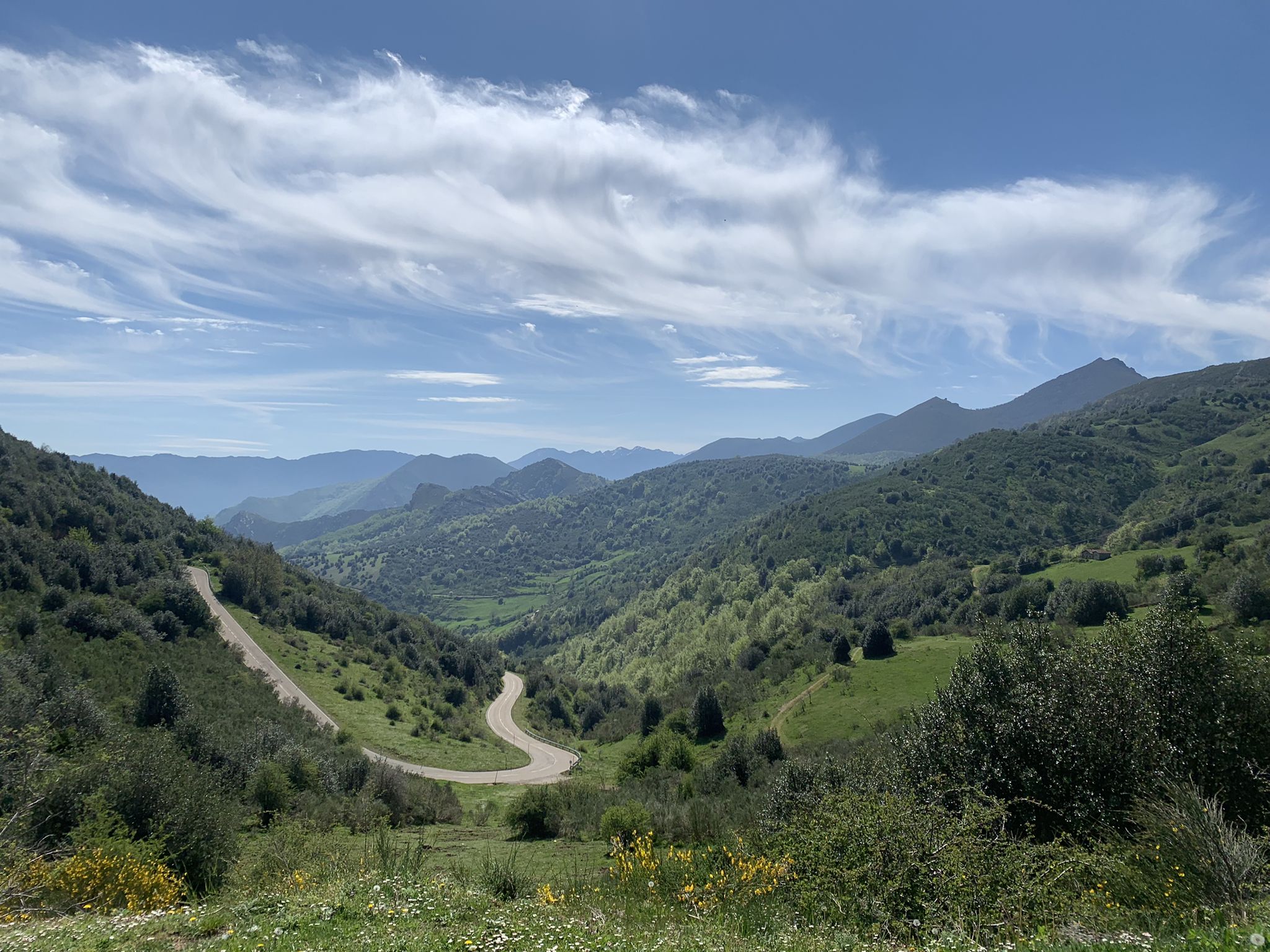
Puerto de Ventana is a mountain pass located in the Cantabrian Mountains, between the Principality of Asturias and the province of León. It lies at an altitude of 1,587 meters and connects the municipality of San Emiliano in León with the Asturian municipality of Teverga. From the pass, you can enjoy a breathtaking view of the San Emiliano Valley, known as Babia de Yuso.
2
0

Beautiful port with very very hard climbs on both sides.
1
0
サンエミリアーノでのの人気観光スポット

komootモバイルアプリでインスピレーションを得よう


さらに探索
他の地域の最高のランニングトレイル & ルートを見てみましょう。
