オーバー・ムルクゼーのおすすめ登山&山歩きルート
4.8
(19)
182
ハイカー
10
ハイキング
ザルガンサーラントの山々をもっと探索しませんか?このガイドでご紹介するのは、komootがオーバー・ムルクゼーでの登山&山歩きのコレクション全体を評価して選び抜いた、このエリアの人気ルートです。あなたに合ったルートを見つけるには、他のユーザーがアップロードした役立つ情報や写真を閲覧し、クリック操作で簡単に表示できる詳細なデータを参考にしましょう。オーバー・ムルクゼーでの次の冒険にぴったりの登山&山歩きルートが見つかるはずです。
最終更新日: 8月 30, 2026
5.0
(4)
61
ハイカー
14.5km
05:57
830m
820m
難しい登山ルート. 標準以上のフィットネスレベルが必要です。 全般的に進みやすいルートです。安定して歩行できる技術が必要です。
4.5
(4)
26
ハイカー
13.0km
06:38
960m
960m
難しい登山ルート. 標準以上のフィットネスレベルが必要です。 安定して歩行できる技術、丈夫な靴、高標高地での登山経験が必要です。

無料新規登録
5.0
(1)
8
ハイカー
16.9km
07:10
1,100m
1,090m
難しい登山ルート. 標準以上のフィットネスレベルが必要です。 全般的に進みやすいルートです。安定して歩行できる技術が必要です。
4.0
(1)
3
ハイカー
9.71km
05:14
860m
860m
難しい登山ルート. 標準以上のフィットネスレベルが必要です。 全般的に進みやすいルートです。安定して歩行できる技術が必要です。
4.5
(2)
29
ハイカー
9.73km
05:01
880m
870m
難しい登山ルート. 標準以上のフィットネスレベルが必要です。 全般的に進みやすいルートです。安定して歩行できる技術が必要です。
さらに多くのルートや他のユーザーのおすすめ情報を確認できます。
無料新規登録
すでにアカウントをお持ちですか?
おすすめのツアーは他のkomootユーザーが実際に経験した何千ものアクティビティに基づいています。
無料アカウントで今日から始めよう
次の冒険が待っています。
ログインまたは登録



コミュニティからのヒント


For me, this section of the valley has a southern Alpine character thanks to the Swiss stone pines.
0
0

Waterfall from the Middle Murgsee to the Lower Murgsee The stream babbles along the edge of the forest and sings its eternal song. It brings me joy from the rock face, thank you, I love you so much. Text Kurt Küng 2001
11
0
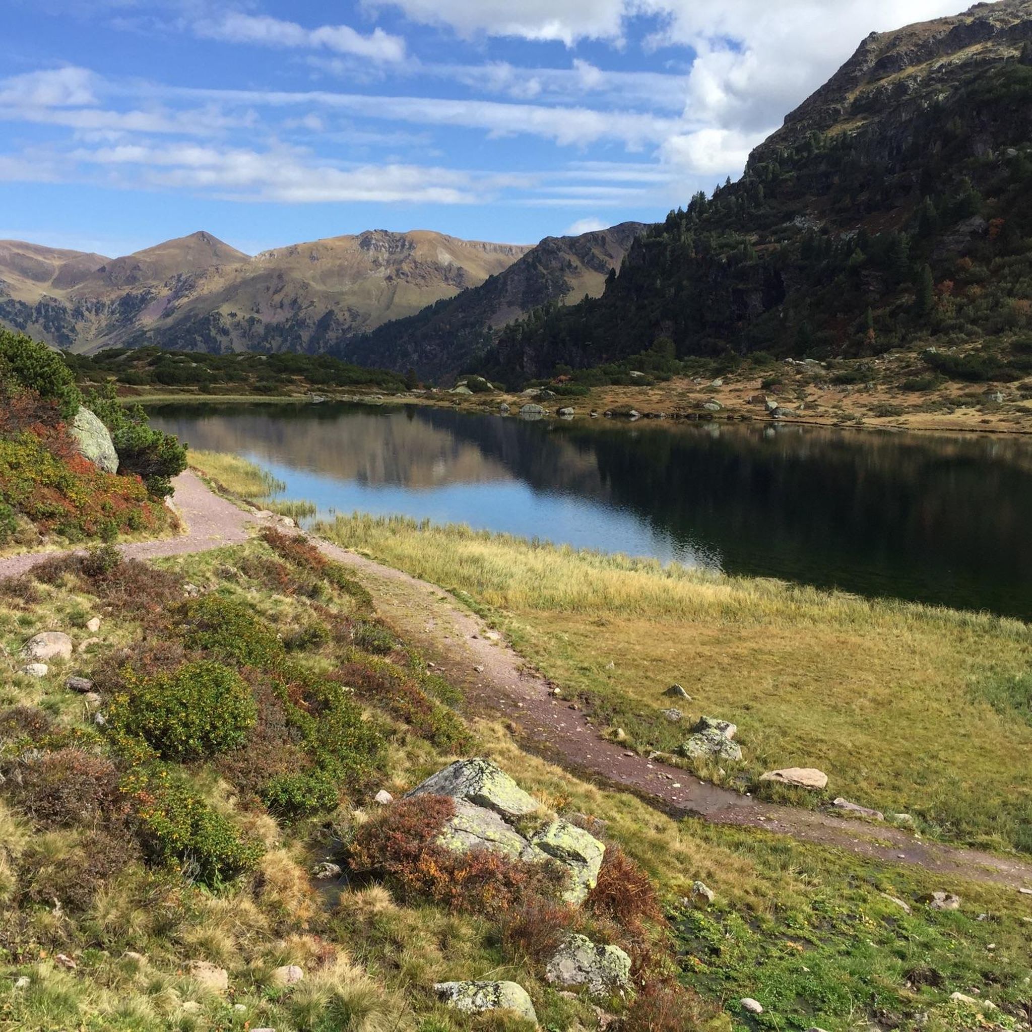
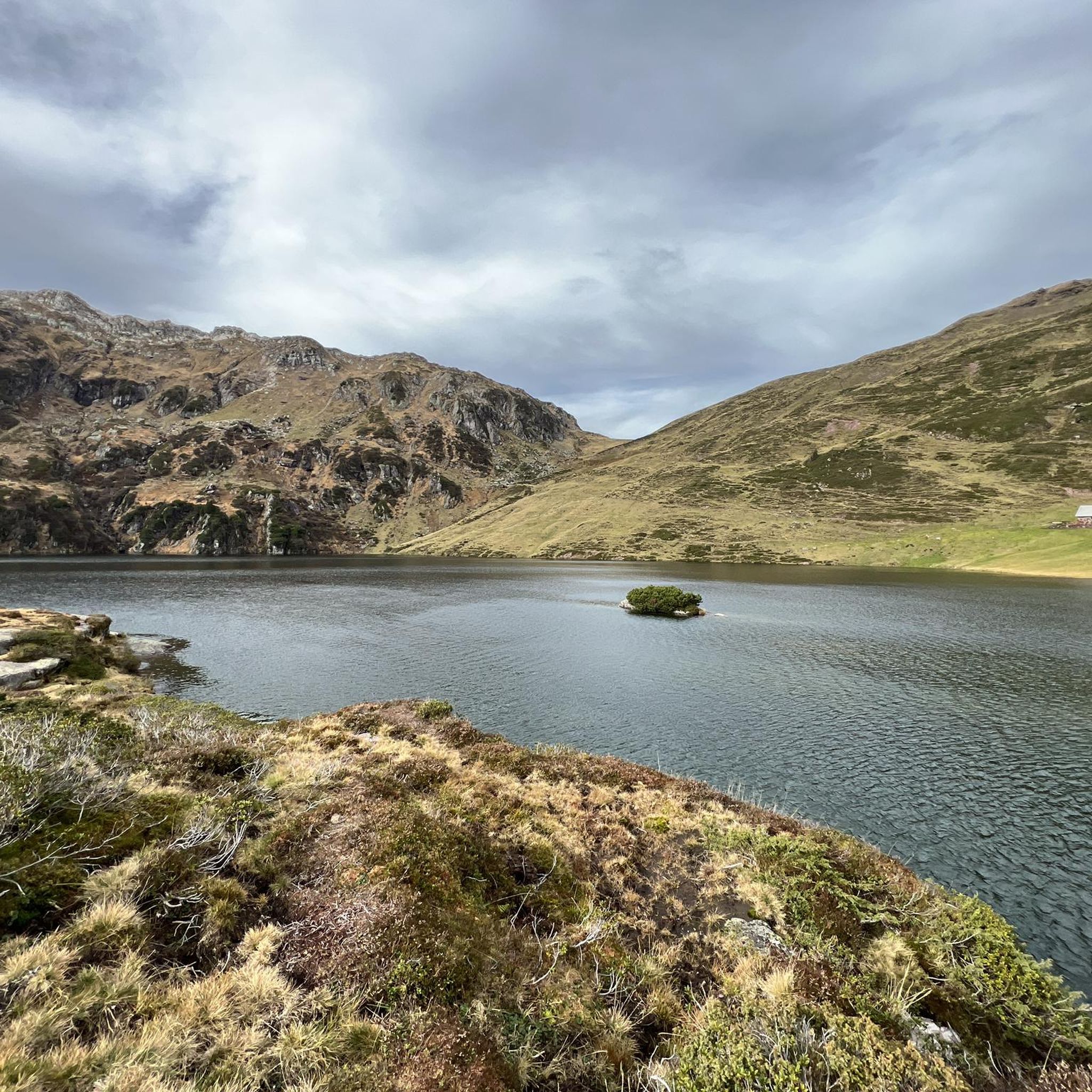
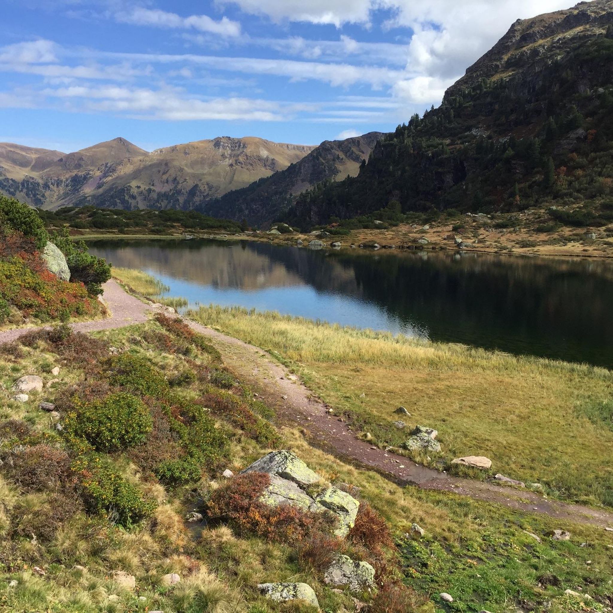
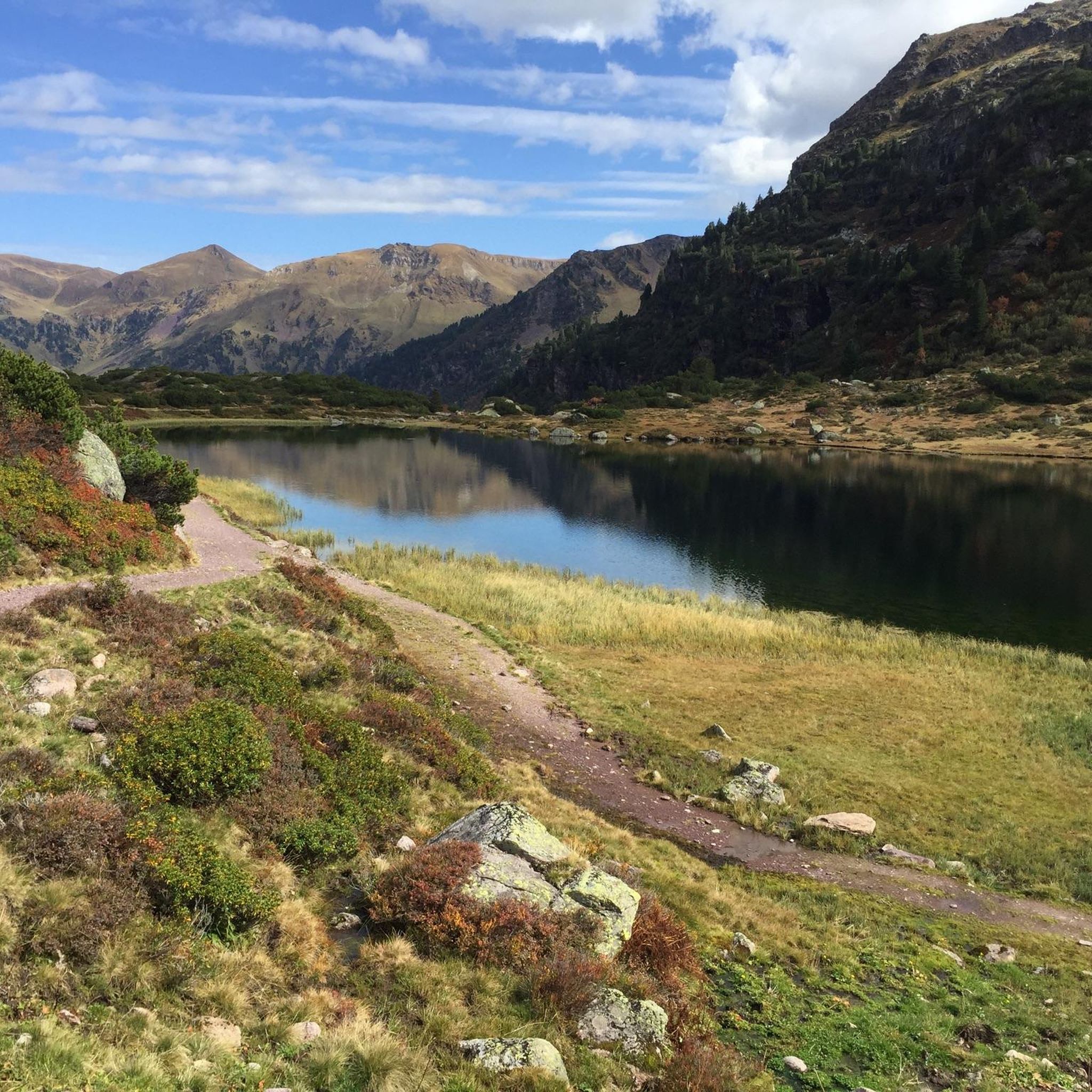
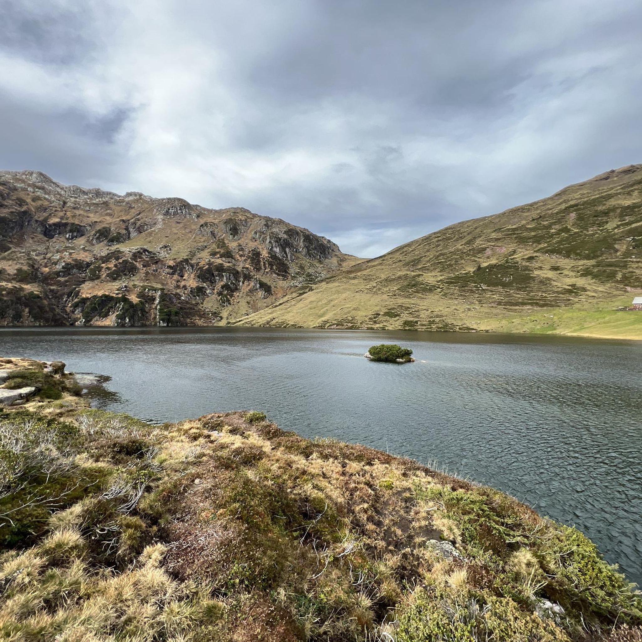
Middle Murgsee 1808 m Murg lakes (Upper Murgsee / Middle Murgsee / Lower Murgsee) Three mountain lake pearls in the Murg Valley (Upper Murgsee / Middle Murgsee / Lower Murgsee) in Eastern Switzerland SG / GL The three Murg lakes are nestled in a wild, romantic valley basin. The lower Murgsee is in the middle of a protected pine reserve, the scenery is reminiscent of the wilderness of Canada. Between the middle and upper Murgsee is the Murgsee mountain inn, which accommodates not only hikers but also fishermen. The Murgsee trout are known for their pink, salmon-like flesh. The shortest, best and easiest way to Murgsee leads via Murg on Lake Walen, on the Zurich - Chur route, either by car or the Murgtal bus (register for bus trips with Taxi Walensee, Tel. 079 735 30 00) to the Mornen car park (P2) at around 1200 m above sea level. The route via Murg is well signposted. From Mornen, a natural gravel path approx. 1.5 m wide leads directly to the Murgsee mountain restaurant at 1825 m above sea level. The hike takes around 1.5 to 2 hours. The Murgsee - Mürtschen area circular hike is particularly recommended, with the starting point being the Merlen car park (P1) in the Murgtal. The hiking trails are well marked and are also suitable for hikers with little experience. Text / Source: Eastern Switzerland Tourism, Fürstenlandstrasse 53, CH-9000 St.Gallen https://ostschweiz.ch/de/map/detail/murgseen-d178b0e4-cf43-46c1-9f5e-29501dbf8262.html
10
0
Berggasthaus Murgsee at 1818 m The restaurant at the upper Murgsee is open during the summer and autumn seasons. The house has always retained its simple and rustic character. It serves as a summer season mountain restaurant and is mainly a rest stop for hikers or sport fishermen who seek relaxation by the crystal-clear waters. Description Here you can eat very well and relax overnight in a cozy shared room for the next day (pre-reservation for overnight stay recommended). You can reach the inn in 2 to 6 hours walking time from Murg or Maschgenkamm (Flumserberg). https://www.myswitzerland.com/de-ch/unterkuenfte/berggasthaus-murgsee/ http://www.schweizer-bergseen.ch/st.gallen/quarten/murgseen/restaurant-murgsee.html
14
0
Upper Murgsee 1819 m Murg lakes (Upper Murgsee / Middle Murgsee / Lower Murgsee) Three mountain lake pearls in the Murg Valley (Upper Murgsee / Middle Murgsee / Lower Murgsee) in Eastern Switzerland SG / GL The three Murg lakes are nestled in a wild, romantic valley basin. The lower Murgsee is in the middle of a protected pine reserve, the scenery is reminiscent of the wilderness of Canada. Between the middle and upper Murgsee is the Murgsee mountain inn, which accommodates not only hikers but also fishermen. The Murgsee trout are known for their pink, salmon-like flesh. The shortest, best and easiest way to Murgsee leads via Murg on Lake Walen, on the Zurich - Chur route, either by car or the Murgtal bus (register for bus trips with Taxi Walensee, Tel. 079 735 30 00) to the Mornen car park (P2) at around 1200 m above sea level. The route via Murg is well signposted. From Mornen, a natural gravel path approx. 1.5 m wide leads directly to the Murgsee mountain restaurant at 1825 m above sea level. The hike takes around 1.5 to 2 hours. The Murgsee - Mürtschen area circular hike is particularly recommended, with the starting point being the Merlen car park (P1) in the Murgtal. The hiking trails are well marked and are also suitable for hikers with little experience. Text / Source: Eastern Switzerland Tourism, Fürstenlandstrasse 53, CH-9000 St.Gallen https://ostschweiz.ch/de/map/detail/murgseen-d178b0e4-cf43-46c1-9f5e-29501dbf8262.html
11
2
Pass crossing Murgseefurgglen / Mürtschenfurgglen 1985 m above sea level SG / GL (saddle) Beautiful view of the Murgsee
10
0
オーバー・ムルクゼーでのの人気ルート

komootモバイルアプリでインスピレーションを得よう


さらに探索
他の地域の最高の登山ハイキング & ルートを見てみましょう。
