ルッツォネ湖のおすすめツーリングルート
4.3
(42)
804
ライダー
13
ライド
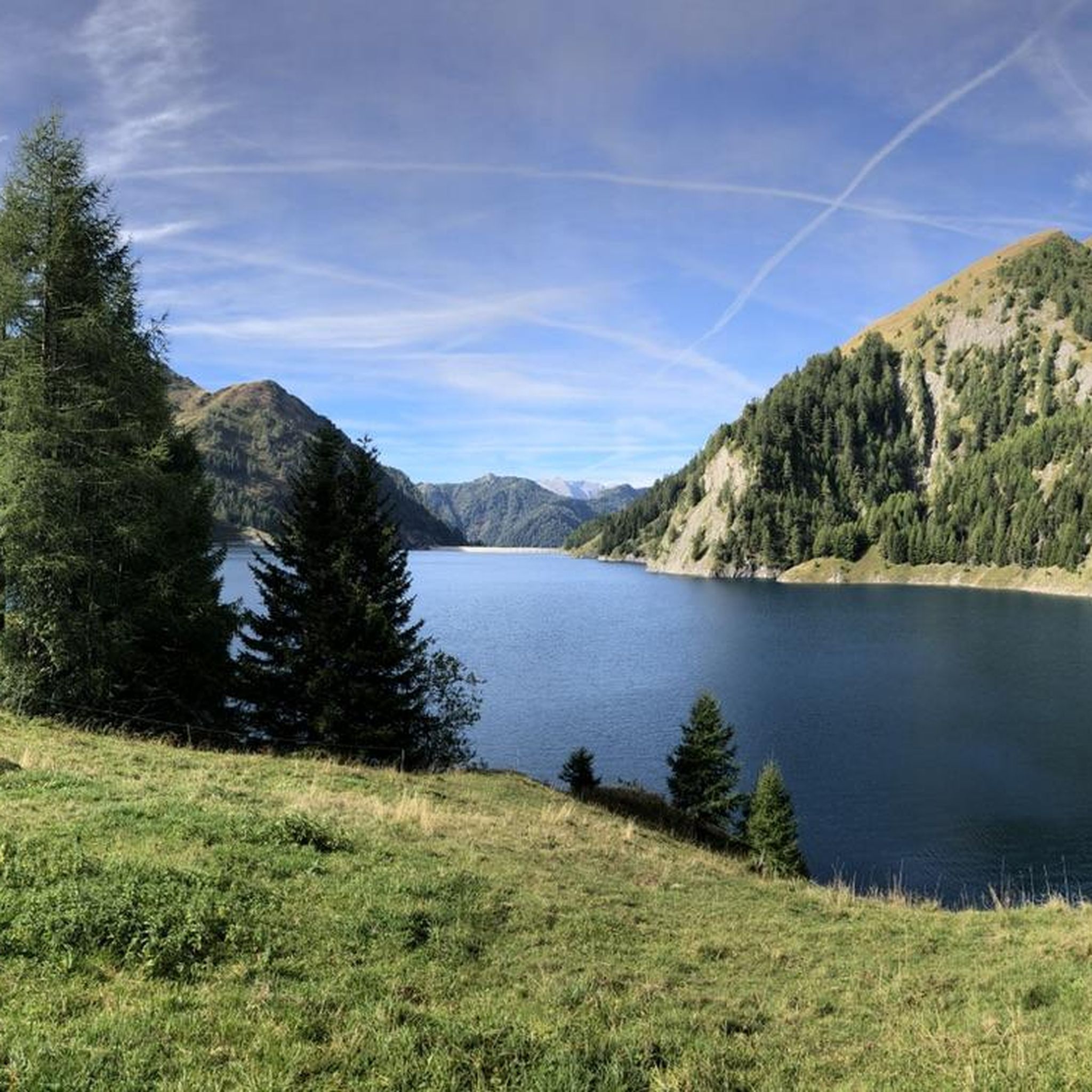
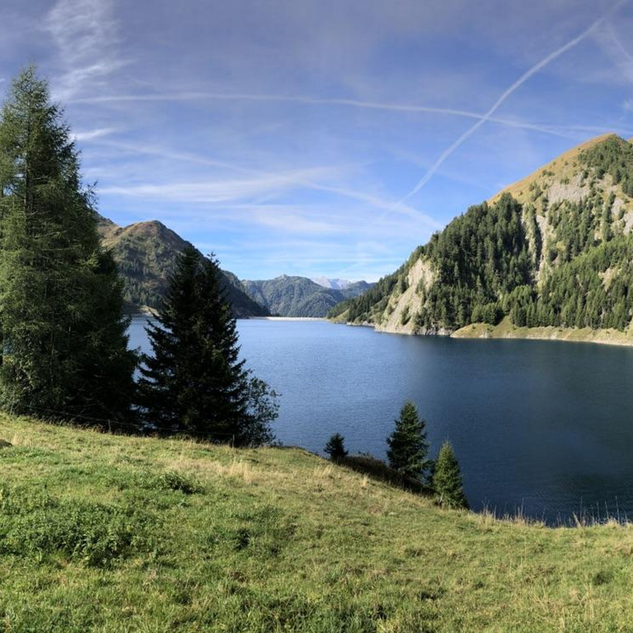
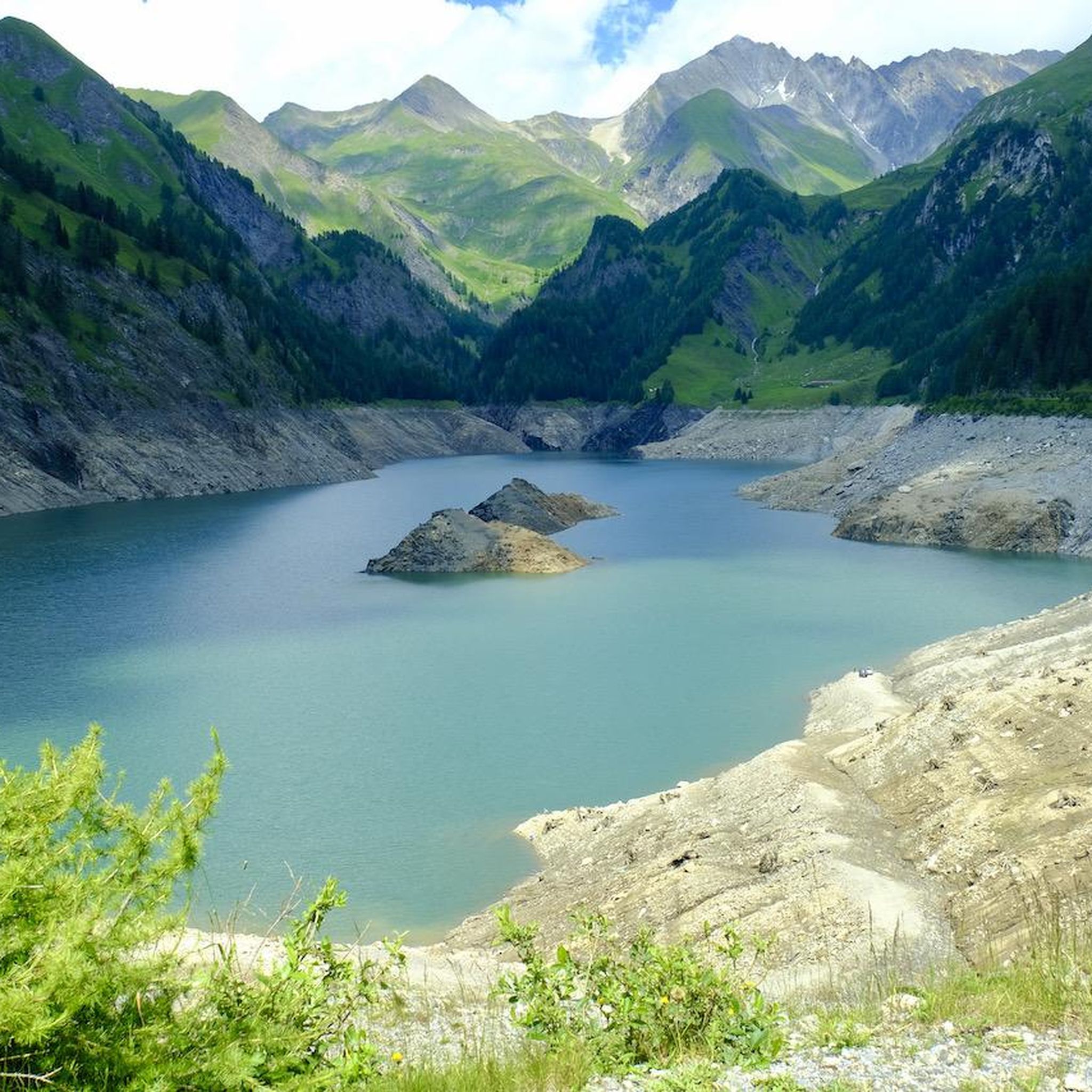
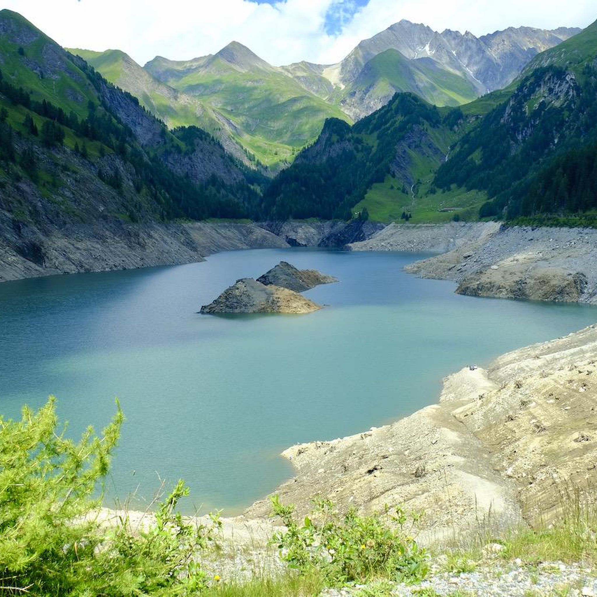
ルッツォネ湖周辺にはバイクライド向きのルートがたくさんあるため、ルート選びも簡単ではありません。この湖の魅力をすぐに体験していただけるように、komootおすすめのルートをまとめました。 ページを下にスクロールしてルッツォネ湖周辺のサイクリングルートの詳細をご覧になり、気に入ったルートが見つかったら、さっそく冒険に出かけましょう。
最終更新日: 8月 31, 2026
5.0
(1)
134
ライダー
25.2km
02:40
1,090m
1,090m
難しい自転車ライド. 標準以上のフィットネスレベルが必要です。 ツアーの一部に、未舗装のため走行が難しい箇所があるかもしれません。
5.0
(6)
88
ライダー
42.7km
03:33
1,050m
1,040m
Cycle the difficult 26.5-mile Blenio - Lucomagno Route, gaining 3431 feet through scenic valleys and over a beautiful mountain pass.

13
ライダー
24.8km
02:33
1,110m
1,110m
難しい自転車ライド. 標準以上のフィットネスレベルが必要です。 全般的に舗装された状態です。あらゆるスキルレベルに適しています。
4.0
(1)
6
ライダー
23.8km
02:19
890m
890m
Experience the difficult Cancorì Bike Trail, a 14.8-mile touring cycling route with stunning views over the Blenio Valley.
15
ライダー
19.6km
01:34
580m
580m
難しい自転車ライド. 標準以上のフィットネスレベルが必要です。 全般的に舗装された状態です。あらゆるスキルレベルに適しています。
さらに多くのルートや他のユーザーのおすすめ情報を確認できます。
すでにアカウントをお持ちですか?
おすすめのツアーは他のkomootユーザーが実際に経験した何千ものアクティビティに基づいています。
無料アカウントで今日から始めよう
次の冒険が待っています。

コミュニティからのヒント

最近改修されたロマネスク様式の教会。ここからは家族向けの多くのMTBツアーが通ります。www.bleniobike.chで発見するか、公式ルートコレクションをご覧ください: www.komoot.com/it-it/collection/3576744/-blenio-bike-28-tour-mtb-in-valle-di-blenio-la-valle-del-sole
0
0

Church of San Pietro a Motto Church of San Pietro, Via Camana, Motto - Blenio
11
0

Thank you for this outstanding article and for providing such valuable information. In recent days, I've been exploring a rather engaging game known as https://suikagame2.io/ ; give it a try if you're curious.
0
2

Camperio is a small village nestled in the mountains of Ticino which offers many varied excursion possibilities for walkers, runners and cyclists.
1
0

Located at the foot of the pyramid-shaped Sosto (2,221 meters), Olivone is the starting point for excursions and cycling tours to the impressive Greina plateau, the original Val di Campo or the Luzzone dam. Towards the Lukmanier Pass (Valle Santa Maria) you reach the eco center in Acquacalda with a guesthouse and restaurant in a park-like natural landscape. Towards the east we head steeply into the Adula mountain range with the Rheinwaldhorn, the highest peak in the region. Historically, the pass town of Olivone experienced its heyday in the High Middle Ages, when the Lukmanier Pass was an important traffic artery. The villagescape includes stately country estates and wooden agricultural buildings with stone kitchens. Statutes, pictures and objects from the religious life of the valley are exhibited in the “Ca da Rivöi” museum, and fresh dairy products are offered in the small cheese dairy Caseificio Töira.
0
0
The Romanesque style church of San Pietro a Motto stands alone surrounded by green meadows. It dates back to the 13th century, but has been enlarged over time. The latest works date back to 1988.
1
0
The Capanna Bovarina is a modest-sized but very welcoming hut. It is located in the Alpe Bovarina park and offers a beautiful view of the Rheinwaldhorn and the imposing Luzzone dam.
1
0
The Romanesque style church of San Pietro a Motto stands alone surrounded by green meadows. It dates back to the 13th century, but has been enlarged over time. The latest works date back to 1988.
1
0
ルッツォネ湖でのの人気観光スポット

komootモバイルアプリでインスピレーションを得よう


