スタインゼーのおすすめ登山&山歩きルート
4.9
(74)
747
ハイカー
14
ハイキング
インターラーケンオーバーハスリの山々をもっと探索しませんか?このガイドでご紹介するのは、komootがスタインゼーでの登山&山歩きのコレクション全体を評価して選び抜いた、このエリアの人気ルートです。あなたに合ったルートを見つけるには、他のユーザーがアップロードした役立つ情報や写真を閲覧し、クリック操作で簡単に表示できる詳細なデータを参考にしましょう。スタインゼーでの次の冒険にぴったりの登山&山歩きルートが見つかるはずです。
最終更新日: 9月 26, 2026
5.0
(3)
60
ハイカー
9.18km
06:25
820m
820m
難しい登山ルート. 標準以上のフィットネスレベルが必要です。 安定して歩行できる技術、丈夫な靴、高標高地での登山経験が必要です。
5.0
(2)
7
ハイカー
4.37km
01:46
230m
230m
中程度の登山ルート. あらゆるフィットネスレベルに適しています。 全般的に進みやすいルートです。安定して歩行できる技術が必要です。

4.9
(18)
179
ハイカー
4.81km
05:00
670m
670m
難しい登山ルート. ある程度のフィットネスレベルが必要です。 安定して歩行できる技術、丈夫な靴、高標高地での登山経験が必要です。
5.0
(2)
70
ハイカー
8.83km
07:00
920m
920m
難しい登山ルート. 標準以上のフィットネスレベルが必要です。 安定して歩行できる技術、丈夫な靴、高標高地での登山経験が必要です。
13
ハイカー
2.36km
02:11
290m
290m
難しい登山ルート. ある程度のフィットネスレベルが必要です。 安定して歩行できる技術、丈夫な靴、高標高地での登山経験が必要です。
さらに多くのルートや他のユーザーのおすすめ情報を確認できます。
すでにアカウントをお持ちですか?
おすすめのツアーは他のkomootユーザーが実際に経験した何千ものアクティビティに基づいています。
無料アカウントで今日から始めよう
次の冒険が待っています。
コミュニティからのヒント

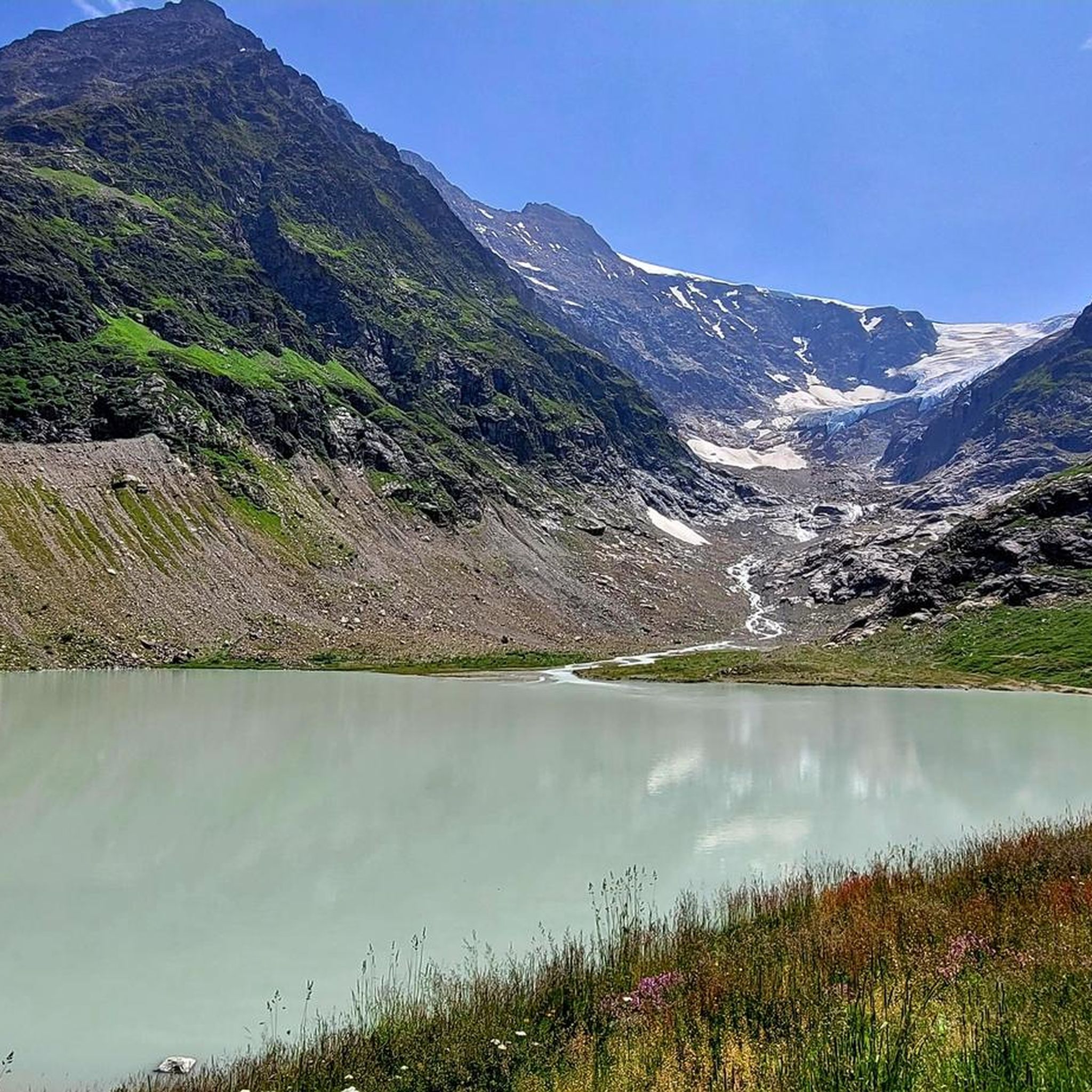
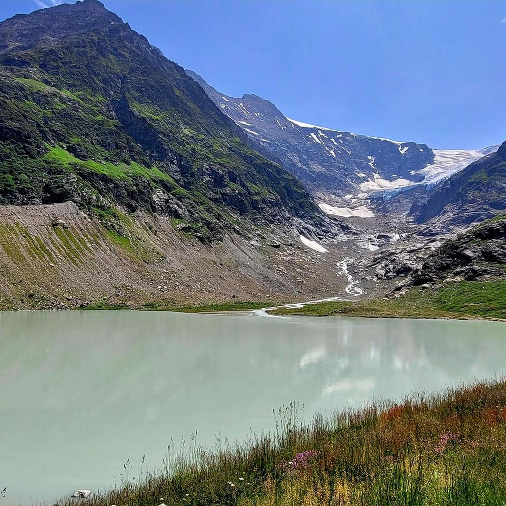
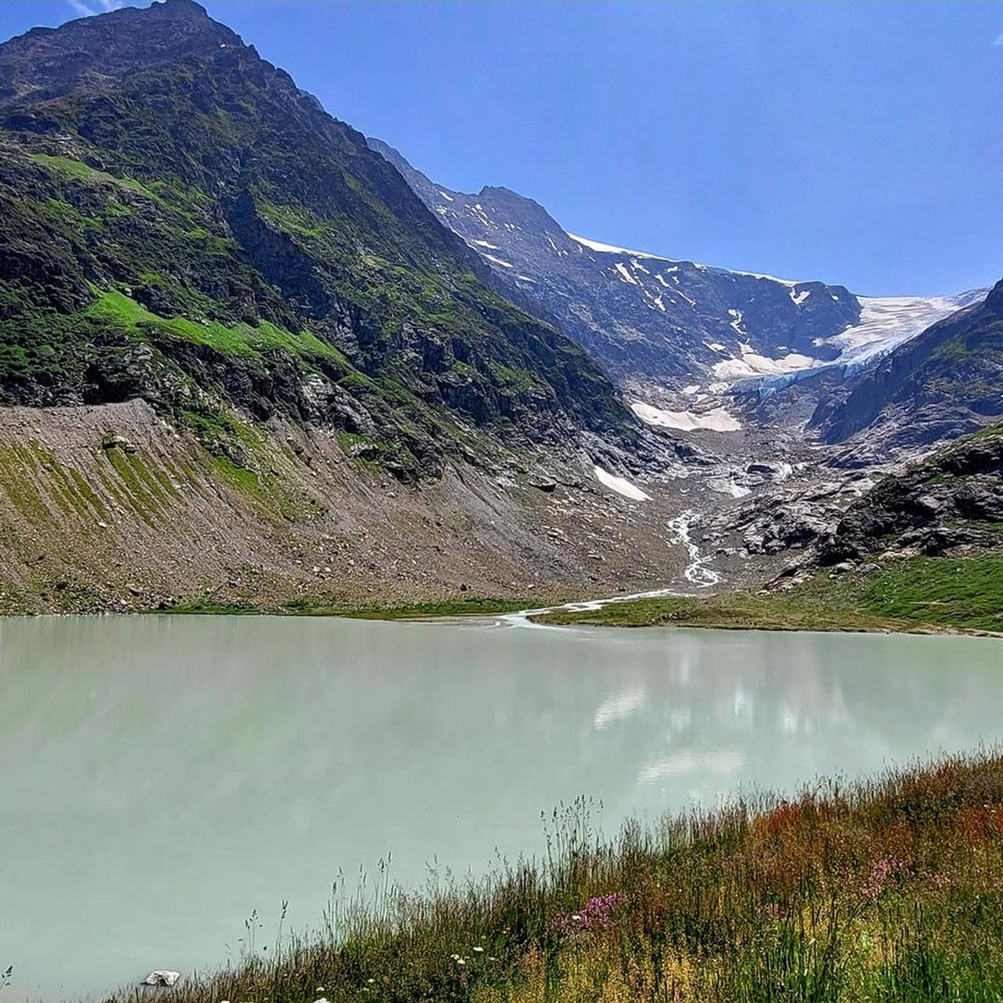
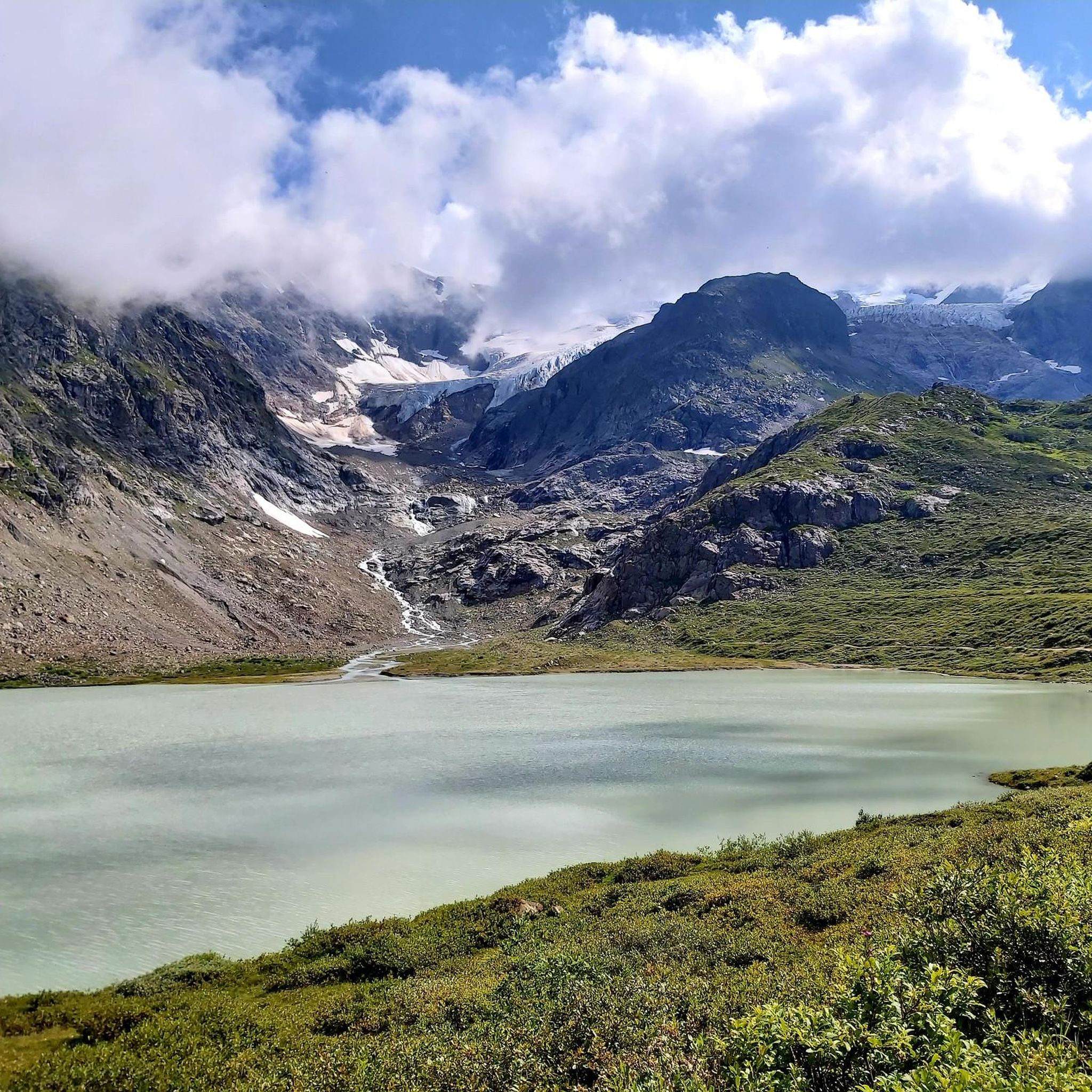
Very pretty but as with all such glaciers receding quickly
0
0
Relatively easy but in shadow early on so can be cold &/or damp
0
0

Alpine adventure with a glacier view! From the Umpol parking lot (2,111 m), the route leads directly onto the varied via ferrata (K4/B/C) 🧗♂️ – from moderate passages to the slightly overhanging crux (optional) 💪🔗. The view of the Steingletscher and peaks like the Sustenhorn and Vorder Tierberg is simply breathtaking 🤩❄️. After the exit, a marked trail leads through scree and rocky ledges up to the Tierberglihütte SAC (2,795 m) 🛖☀️ – a perfect place for a break with a stunning panorama 🏞️. Descend via the Alpine hiking trail (white, blue, white) back to the parking lot. 📌 Facts & Figures 🥾 Distance: approx. 4.5 km ⏱️ Duration: 4–5 hours (total) ⛰ Elevation Gain: approx. 680 m ⚠️ Difficulty: K4/B/C, T3 – surefooted, free from vertigo, and full via ferrata equipment required! 🎒🪢
1
0

Total time for both sections of the via ferrata is 4.5 hours, of which the via ferrata takes 2.5 hours, the further section to the hut takes 30 minutes, and the descent takes 1.5 hours.
1
0
The via ferrata, an alternative to the approach from the Tierbergli Hut, takes place against a wonderful Alpine backdrop. This is where the first stage of the via ferrata starts. It is a very scenic ferrata, although the course is not very uniform: the first section is mostly K2, at most K3, but with a tough crux quite high up (K4). The route includes a loop over lots of scree and moderately steep rock to a slightly overhanging wall section, which is quite challenging as a crux despite the ample protection. After the first stage, the descent takes a T3 hiking route back to the starting point (car park). The second section is somewhat more difficult than the first. At the top, you can get food and drink at the Tierbergli Hut. The total time for both sections is 4.5 hours, of which both sections of the via ferrata take 2.5 hours, the walk to the hut takes 30 minutes, and the descent takes 1.5 hours.
0
0
The via ferrata, an alternative to the approach from the Tierbergli Hut, takes place against a stunning Alpine backdrop. At this point, you can exit the first stage and descend via a T3 hiking route back to the starting point (parking lot). This point also marks the start of the second section of the via ferrata. The second section is somewhat more difficult than the first. The second section is predominantly K3 with scree sections in between. Only attempt this route in good weather; in wet (or icy) conditions, the blocky rocks are dangerously slippery. At the top, you can get food and drink at the Tierbergli Hut.
1
0

You are at the top of the Tierbärgli, at an altitude of 2,800 metres. But more than the summit, the star here is called the Stein Glacier. In front of you, it presents itself in all its splendour.
0
0


komootモバイルアプリでインスピレーションを得よう


さらに探索
他の地域の最高の登山ハイキング & ルートを見てみましょう。
