パンタデダルニウス-ボアデラのおすすめツーリングルート
4.1
(88)
978
ライダー
91
ライド
パンタデダルニウス-ボアデラ周辺にはバイクライド向きのルートがたくさんあるため、ルート選びも簡単ではありません。この湖の魅力をすぐに体験していただけるように、komootおすすめのルートをまとめました。 ページを下にスクロールしてパンタデダルニウス-ボアデラ周辺のサイクリングルートの詳細をご覧になり、気に入ったルートが見つかったら、さっそく冒険に出かけましょう。
最終更新日: 11月 12, 2026
18
ライダー
38.5km
03:52
1,070m
1,070m
難しい自転車ライド. 標準以上のフィットネスレベルが必要です。 ツアーの一部で自転車を押して歩く必要があるかもしれません。
5.0
(4)
29
ライダー
40.8km
03:09
220m
400m
中程度の自転車ライド. ある程度のフィットネスレベルが必要です。 ほとんどが舗装路です。

4.6
(11)
71
ライダー
31.0km
02:39
630m
630m
難しい自転車ライド. 標準以上のフィットネスレベルが必要です。 ほとんどが舗装路です。
5.0
(1)
21
ライダー
28.3km
01:48
290m
290m
中程度の自転車ライド. ある程度のフィットネスレベルが必要です。 ほとんどが舗装路です。
2.0
(1)
9
ライダー
22.5km
01:46
420m
420m
中程度の自転車ライド. ある程度のフィットネスレベルが必要です。 ほとんどが舗装路です。
さらに多くのルートや他のユーザーのおすすめ情報を確認できます。
すでにアカウントをお持ちですか?
おすすめのツアーは他のkomootユーザーが実際に経験した何千ものアクティビティに基づいています。
無料アカウントで今日から始めよう
次の冒険が待っています。
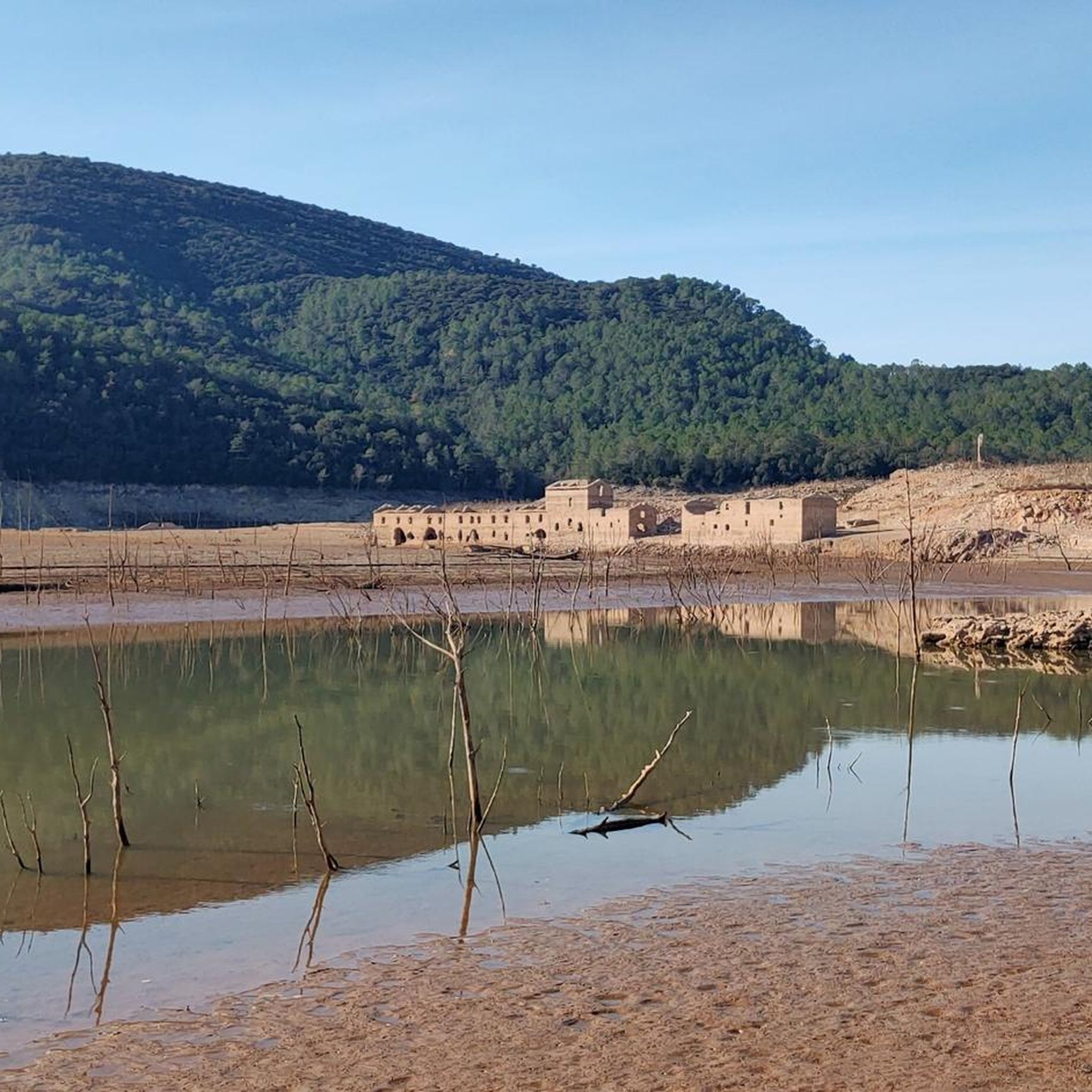
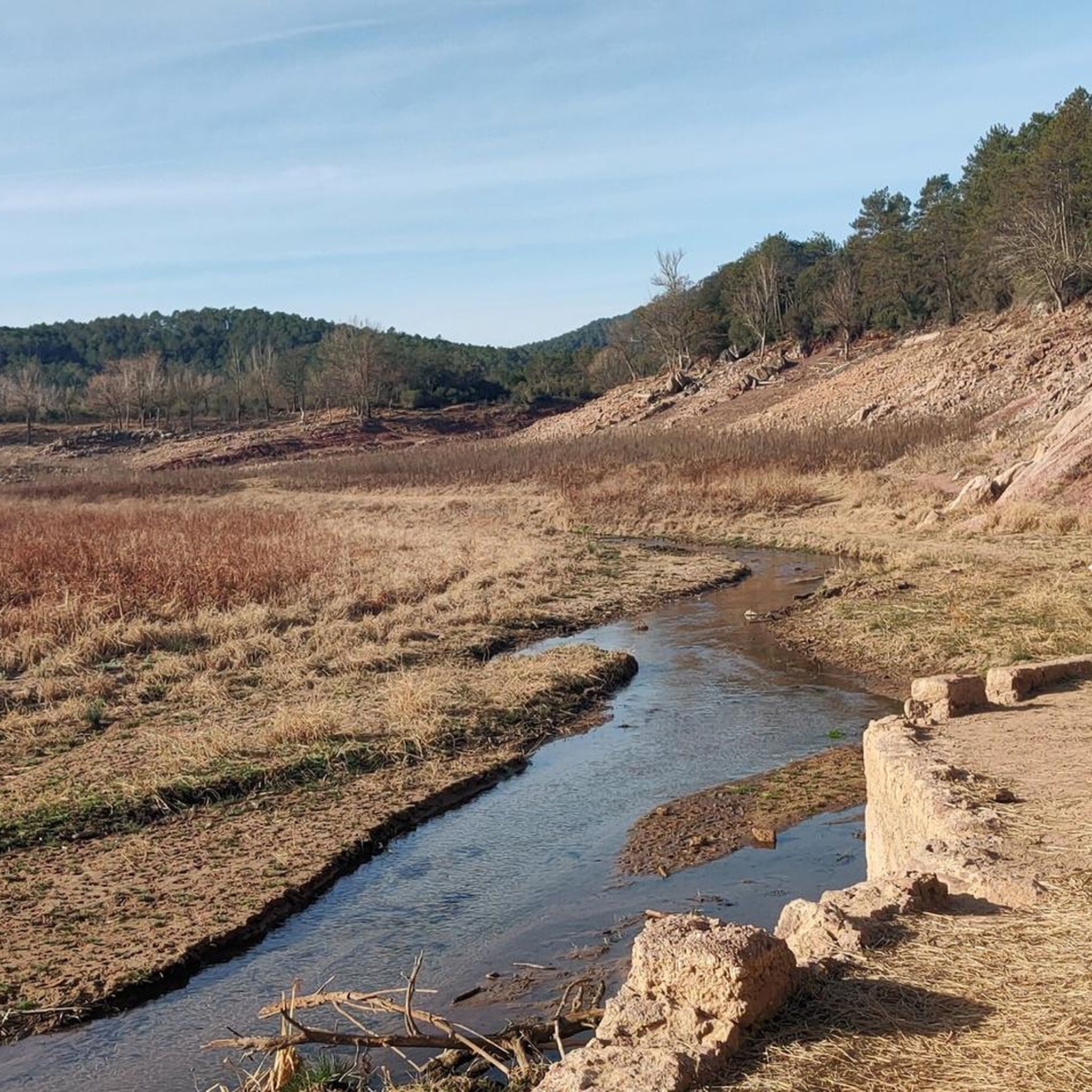
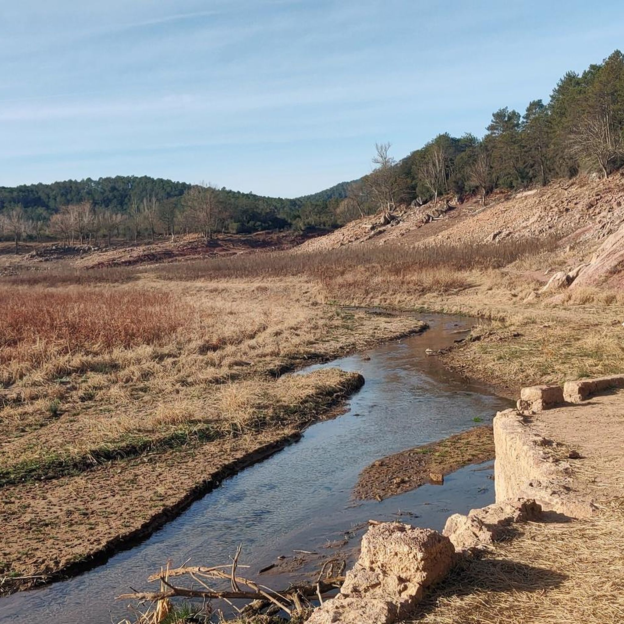

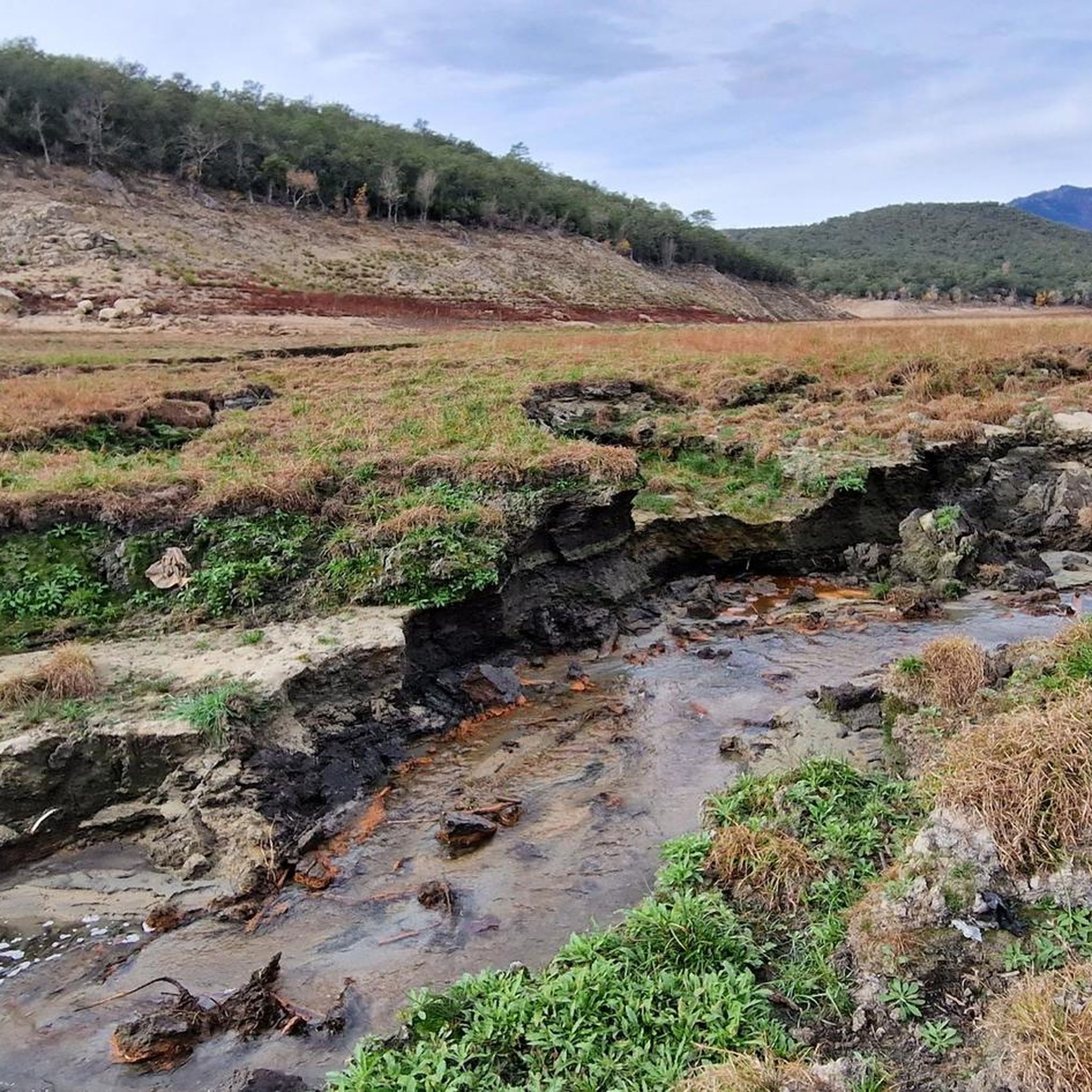
コミュニティからのヒント

Small fountain 15 meters from the track and the river.
0
0


Motorhome campsite and also start and finish of cycle route.
0
0

La Resclosa del Molí de Calvet, located in the charming town of Pont de Molins, is a place of great natural beauty and historical value. This dam, built on the Muga River, originally served to divert water to the old Calvet mill, which was an integral part of the agricultural and economic life of the region. Today, the resclosa is a point of tourist interest and an excellent example of Girona's hydraulic heritage, offering visitors a glimpse into the ingenuity and history of the ancient irrigation systems and mills. In addition to its historical interest, the Resclosa del Molí de Calvet is a perfect place for rest and recreation. Next to the rest area, there is a rest area equipped with tables, ideal for enjoying a picnic in a quiet and picturesque environment. This space offers visitors the opportunity to relax by the river, enjoy nature and recharge before continuing to explore the region. It is a popular destination for families as well as hikers and cyclists who travel the nearby routes, providing a welcoming respite amidst the natural landscape of Pont de Molins.
1
0
The Muga Natural Trail is a spectacular route that invites hikers and cyclists to discover the beauty of the Girona regions. This trail follows the course of the Muga River, offering a route of approximately 40 kilometers that connects the mouth in Empuriabrava with the Pyrenees mountains. One of the most notable features of this path is the impressive panoramic view of the Pyrenees. The path passes through a variety of landscapes, from forested areas and agricultural fields to charming rural villages, allowing users to enjoy the biodiversity and cultural richness of the region. The combination of varied landscapes and impressive views of the Pyrenees makes this path a gem to discover in Girona.
0
0
ムガ川は、アルト・エンポルダ地域を蛇行する自然の宝石であり、変化に富んだ風景と豊かな生物多様性を提供しています。ピレネー山脈の麓で生まれたムガ川は、約58キロメートルを流れ、地中海、具体的にはカステリョ・デムプーリアス市のエンピリアブラバの街に最終的に注ぎます。 エンピリアブラバにおけるムガ川の河口は、それ自体が壮観です。エンピリアブラバは、その広大な航行可能な運河網により「地中海のヴェネツィア」として知られており、川が海と合流する地点は、淡水と海水が出会う場所となります。この地域は、有利な風と水の条件のおかげで、セーリングやカイトサーフィンなどのウォータースポーツ愛好家に特に人気があります。 さらに、ムガ川の河口とその周辺は、カタルーニャで最も重要な湿地の一つであるアイグアモルス・デ・リェンポルダ自然公園の一部を形成しています。この公園は、多くの渡り鳥の生息地であり、この地域の自然の美しさを壮大に示しています。
0
0


A few years ago, the route of the road was moved about 200 m to the east and a new bridge was built. Part of the three-arched structure from the 16th century is preserved from the old bridge. XVIII. The old town of Molins, also called Molins de Dalt, is located 1 km west of Pont de Molins. Near the church there is a small group of houses from the 17th and 18th centuries. The parish church of San Sebastián was completed in 1789, a date that appears on the door lintel. A few meters north of the canonical church of El Roble, is the sanctuary of the Virgen del Roble (17th century). We find the ruins of the monastery of Santa Maria del Roure 1 km north of Molins, at the top of a hill. It is worth highlighting the parish church of San Sebastián (18th century), and, near the Muga, in different places in the area, remains of old mills, the best preserved of those found to the left of the river, between Pont de Molins and Molins. Molins Castle is located in front of the Molins neighborhood. Several elements remain, such as the tower, walls and the remains of its Romanesque chapel. It was part of the defensive system of Llers (the term to which it belonged) and was one of the eleven castles that surrounded this town. It is known for the Buac tower. In this half-destroyed castle there are remains from the 11th-12th centuries.
1
0
パンタデダルニウス-ボアデラでのの人気ルート
パンタデダルニウス-ボアデラでのの人気観光スポット

komootモバイルアプリでインスピレーションを得よう


さらに探索
他の地域の最高のサイクリングルートを見てみましょう。
