オーバー湖のおすすめ登山&山歩きルート
4.8
(86)
682
ハイカー
34
ハイキング
オストチロルの山々をもっと探索しませんか?このガイドでご紹介するのは、komootがオーバー湖での登山&山歩きのコレクション全体を評価して選び抜いた、このエリアの人気ルートです。あなたに合ったルートを見つけるには、他のユーザーがアップロードした役立つ情報や写真を閲覧し、クリック操作で簡単に表示できる詳細なデータを参考にしましょう。オーバー湖での次の冒険にぴったりの登山&山歩きルートが見つかるはずです。
最終更新日: 8月 31, 2026
5.0
(12)
67
ハイカー
難しい登山ルート. ある程度のフィットネスレベルが必要です。 安定して歩行できる技術、丈夫な靴、高標高地での登山経験が必要です。
4.3
(9)
29
ハイカー
中程度の登山ルート. ある程度のフィットネスレベルが必要です。 全般的に進みやすいルートです。安定して歩行できる技術が必要です。

無料新規登録
5.0
(4)
22
ハイカー
6.30km
03:39
640m
640m
中程度の登山ルート. ある程度のフィットネスレベルが必要です。 全般的に進みやすいルートです。安定して歩行できる技術が必要です。
5
ハイカー
中程度の登山ルート. あらゆるフィットネスレベルに適しています。 全般的に進みやすいルートです。安定して歩行できる技術が必要です。
5.0
(4)
22
ハイカー
9.98km
04:47
700m
700m
中程度の登山ルート. ある程度のフィットネスレベルが必要です。 全般的に進みやすいルートです。安定して歩行できる技術が必要です。
さらに多くのルートや他のユーザーのおすすめ情報を確認できます。
無料新規登録
すでにアカウントをお持ちですか?
おすすめのツアーは他のkomootユーザーが実際に経験した何千ものアクティビティに基づいています。
無料アカウントで今日から始めよう
次の冒険が待っています。
ログインまたは登録

コミュニティからのヒント

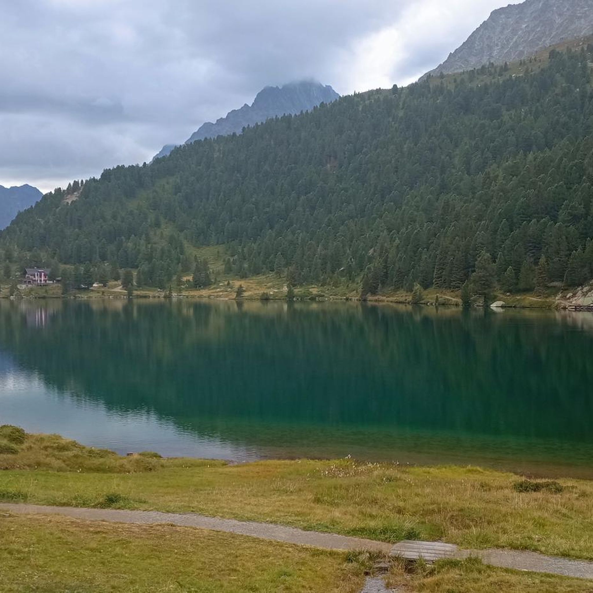
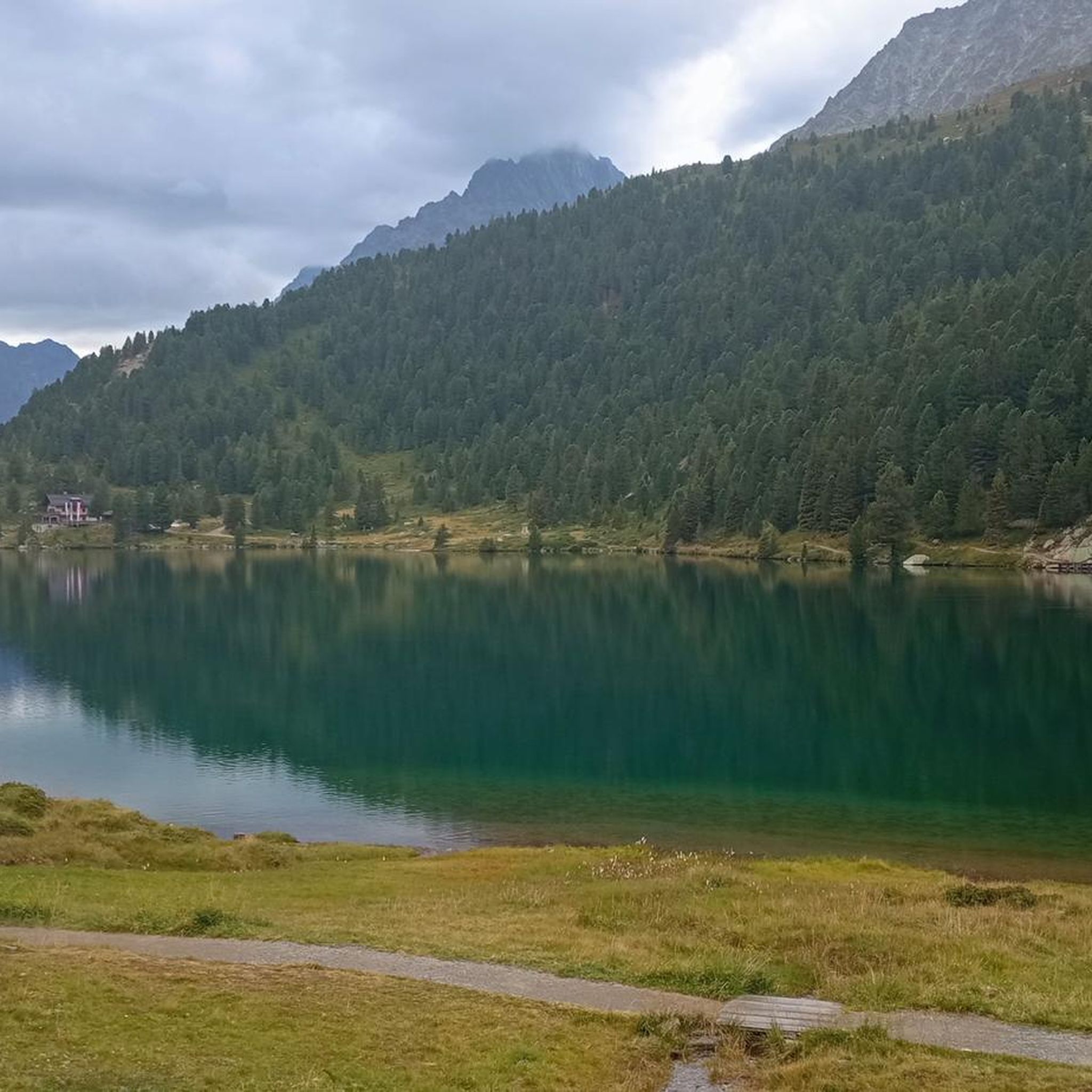
北岸では、岸辺の景観によく組み込まれた板張りの小道に沿って湖畔を歩くことができます。
8
0


The wooden plank walkways were laid across marshland on the northern shore of the lake to protect the fragile natural environment. They offer spectacular views of the lake and the surrounding mountains of the Rieserferner Group. The plank walkways are part of the 3.4 to 3.5-kilometer circular trail, which provides information about the local flora and fauna, as well as the formation of the lake, via information panels.
3
1
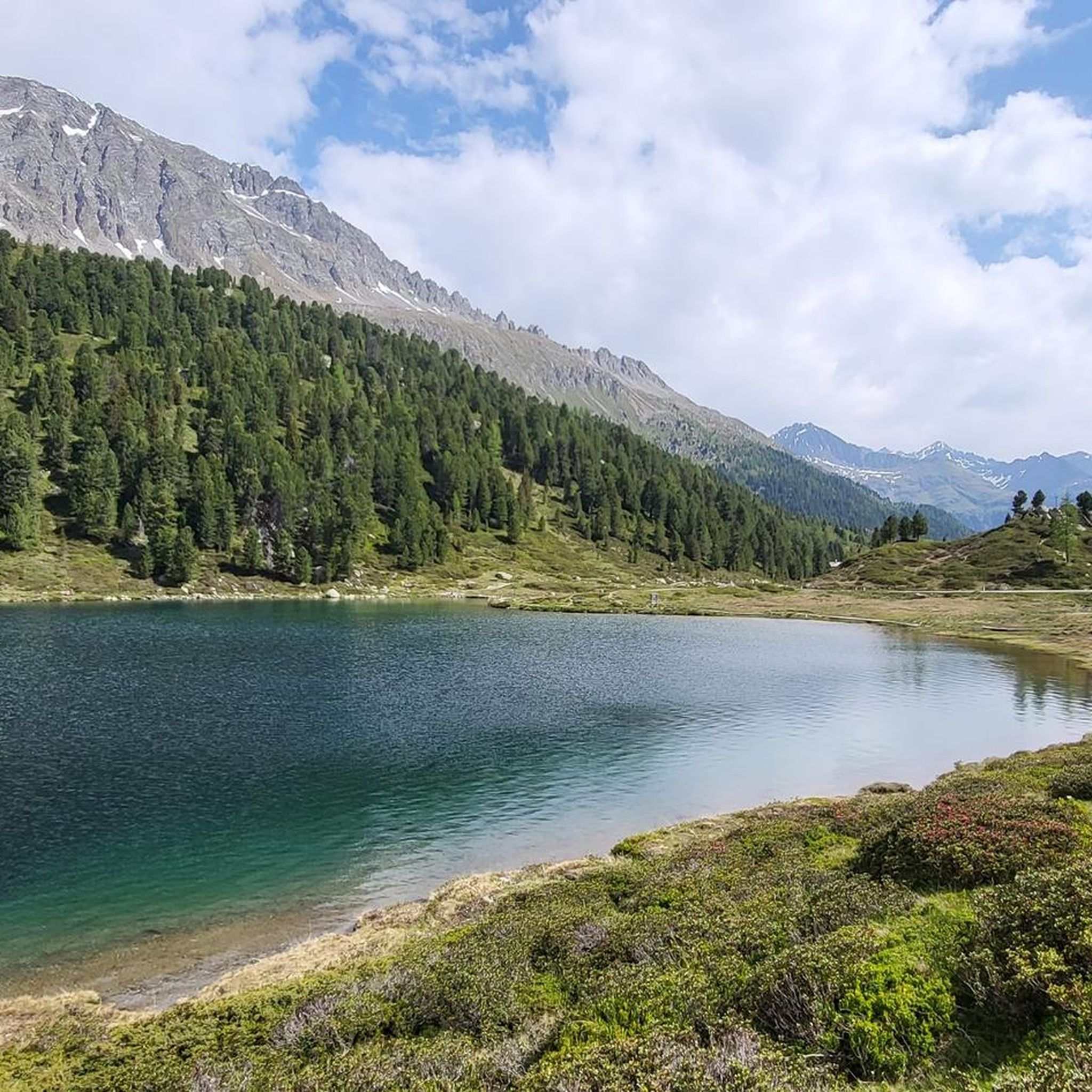
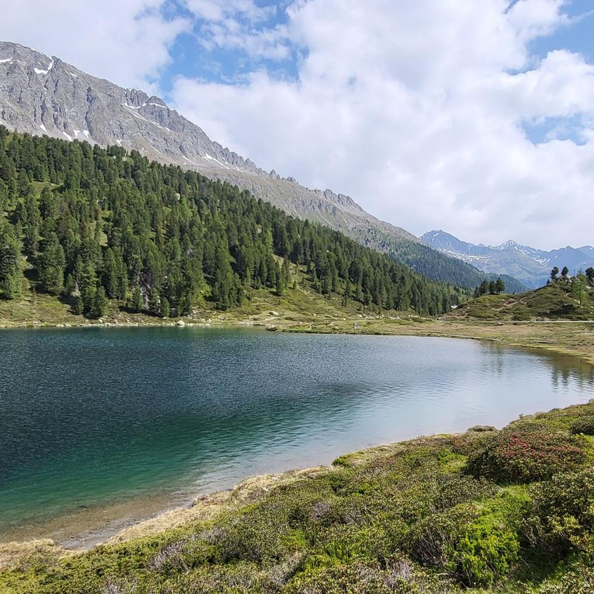
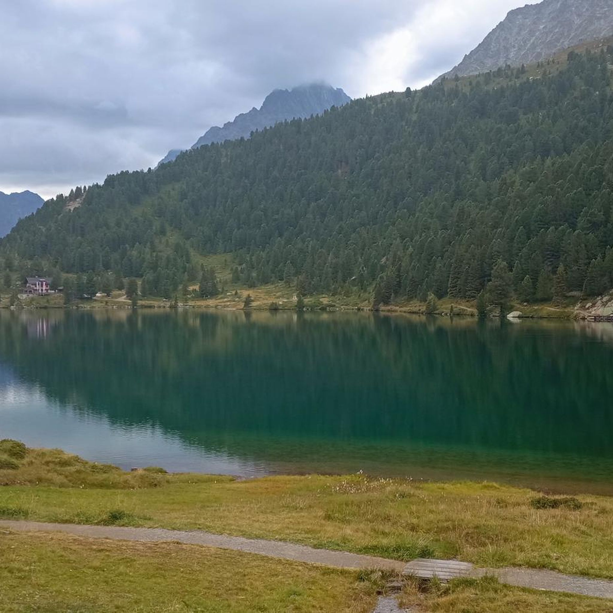
The lake's water shimmers in impressive turquoise-green hues. With a surface area of approximately 44 hectares, it is the third-largest natural lake in South Tyrol. It has a maximum depth of 38 meters. It probably formed at the end of the last Ice Age by a natural landslide or rockslide that blocked the valley and dammed the water. Due to its altitude and low water temperature (below 17°C year-round), it is not a bathing lake, but a typical cold mountain lake. A lovely path, partly on wooden boardwalks, leads us around the lake.
3
0
The lake's water shimmers in impressive turquoise-green hues. With a surface area of approximately 44 hectares, it is the third-largest natural lake in South Tyrol. It has a maximum depth of 38 meters. It probably formed at the end of the last Ice Age by a natural landslide or rockslide that blocked the valley and dammed the water. Due to its altitude and low water temperature (below 17°C year-round), it is not a bathing lake, but a typical cold mountain lake. A lovely path, partly on wooden boardwalks, leads us around the lake.
1
0

Very beautifully situated lake near the biathlon stadium, which is not so careless for many people, it is not so crowded and littered with crowds
2
0


A more beautiful, less crowded peak than the Rotwand. Unfortunately, there's no cross at the top.
0
0
オーバー湖でのの人気観光スポット

komootモバイルアプリでインスピレーションを得よう


さらに探索
他の地域の最高の登山ハイキング & ルートを見てみましょう。
