マールボロ周辺のアトラクション&必見スポット - トップ20
マールボロには必見のスポットがたくさんあります。ハイキング愛好家やサイクリング愛好家の方は、ぜひマールボロを探索してこのエリアにある20
の隠れたスポットを訪れてみてください。このエリアの必見スポットを確認し、次の冒険に出かける計画を立てましょう。
最終更新日: 9月 12, 2026
アヴェベリーのストーンサークル
ハイライト • 記念碑
役立つ情報 は

エーブベリー村
ハイライト • 集落
役立つ情報 は

今すぐサインアップして、こんな場所を発見しよう
最高のシングルトラック、ピーク、その他のエキサイティングなアウトドアスポットのおすすめを受け取ろう。
シルベリー・ヒル
ハイライト • 記念碑
役立つ情報 は

エイヴベリーからリッジウェイ・トラック
ハイライト • サイクリングロード
役立つ情報 は

ウェスト・ケネット・ロングバロー
ハイライト • 歴史的な場所
役立つ情報 は

無料でサインアップして、さらに多くの観光スポットを発見しましょう マールボロでの。
すでにアカウントをお持ちですか?


コミュニティからのヒント

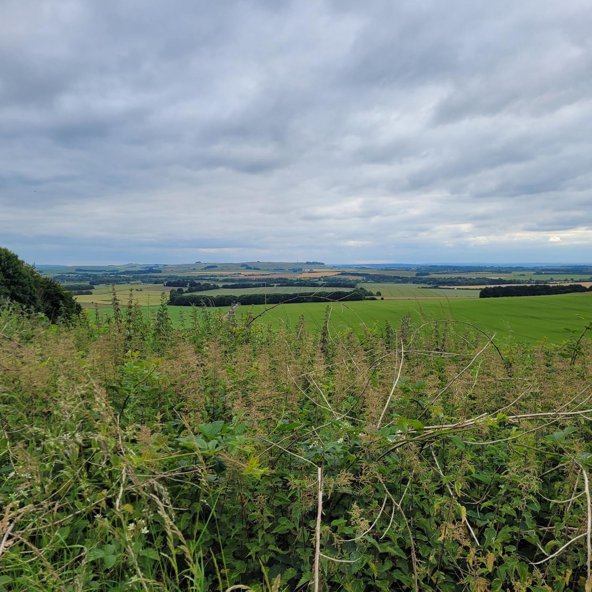
歴史的背景と多くの史跡を持つ興味深い村です。 1. Avebury Stone Circle 世界最大の先史時代の石造サークル。ストーンヘンジとは異なり、石の間を自由に歩き回ることができます。サークルはアヴェベリーの村を囲んでいます。 2. Avebury Henge 石造サークルを取り囲む巨大な土塁と堀。いくつかの場所から、この遺跡の巨大な規模をよく感じることができます。 3. Silbury Hill ヨーロッパで最大の人工的な先史時代の盛り土。この丘はアヴェベリーの約2km南に位置し、新石器時代の魅力的な謎です。 4. West Kennet Long Barrow 5,000年以上前の埋葬塚で、埋葬室に入ることができます。早朝や夕暮れ時には特に雰囲気があります。 5. The Sanctuary 古い巡礼道の終点にある、別の新石器時代の祭祀場の遺跡です。 6. West Kennet Avenue かつてアヴェベリーとThe Sanctuaryを結んでいた、印象的な石柱の並木道です。 7. Avebury Manor 美しい庭園を持つ16世紀の邸宅。現在はナショナル・トラストによって管理されています。 8. Alexander Keiller Museum アヴェベリーとその周辺の史跡の歴史と考古学に関する、小さくも非常に興味深い博物館です。 9. Windmill Hill ウィルトシャーの田園風景の美しい景色を望む、イギリスで最も古い新石器時代の遺跡の一つです。
1
0


Such a beautifully preserved village. It's bizarre that they put a road straight through it though.
0
0
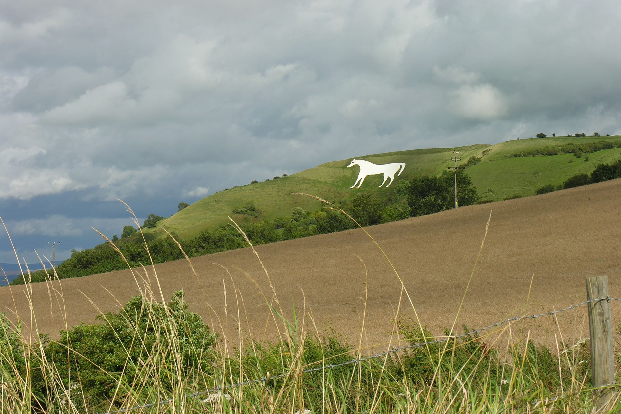
Sidbury Hill, or Sidbury Camp, is the site of an Iron Age bivallate hillfort on the eastern edge of Salisbury Plain in Wiltshire, England. The site is sub-triangular in shape, approximately 17 acres in area, and is constructed on the site of a Neolithic settlement. The hill offers excellent defensive slopes on all sides, which have been supplemented by the double ditch and rampart earthworks. The settlement and hillfort were partially excavated in the 19th century and the 1950s; there were finds of pottery and other artefacts. A Neolithic settlement site was discovered during the excavation in the 1950s, being of a section of the south-east rampart of the hillfort. A number of flint flakes and tools were recovered. The site is a scheduled national monument. Trees planted in the 1960s were removed from 2002 and the area was allowed to revert to the natural chalk downland. Access to the site is difficult as it is on, or near, Ministry of Defence land, and there are many tank tracks and occasional artillery firing in the area. There are also numerous ditches, barrows, trackways, field systems, and tumuli in the area. Due to erosion issues climbing on the barrow is now forbidden. Such a shame, but understandable.
1
0
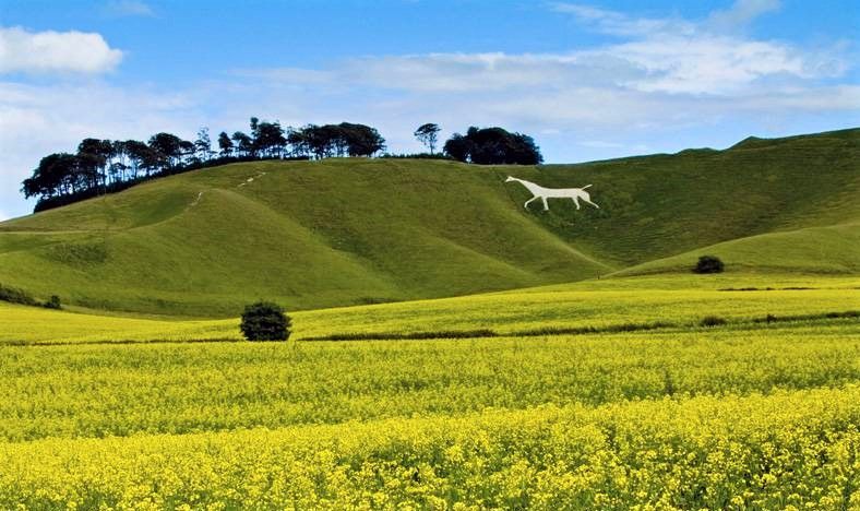
A well preserved bell barrow, the mound of which measures 22m in diameter and stands up to 2.8m high. The mound is surrounded by a berm up to 5m in diameter and a ditch 0.7m deep and up to 6.2m wide. One of these two bell barrows produced a sherd of Bronze Age pottery and a fragment of a polished greenstone axe, both found by Owen Meyrick. A bell barrow, the mound of which measures 24m in diameter and stands 2.7m high. The berm and ditch which surround this barrow have been levelled by cultivation on three sides but survive as buried features on the fourth. From measurements on the western side it can be seen that the berm is c.3m wide and that the ditch is c.5m wide.
0
0
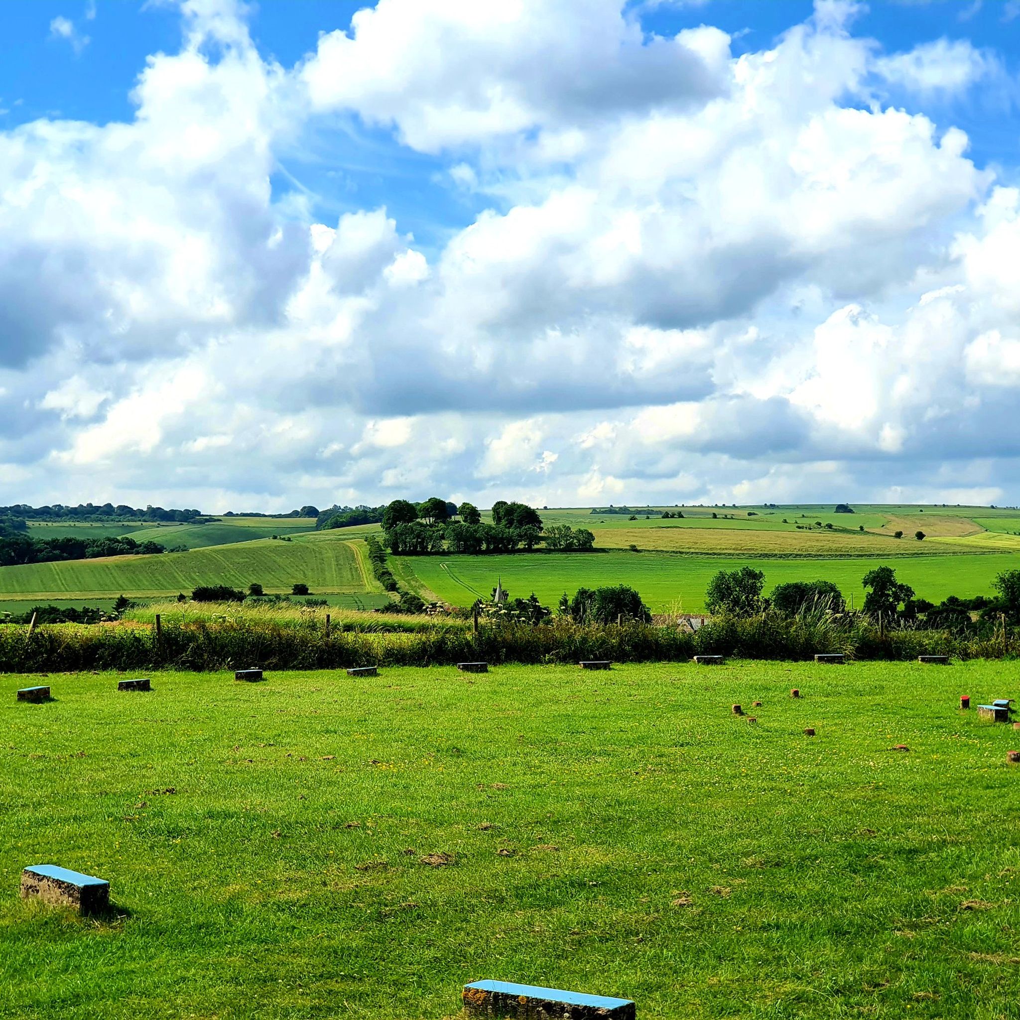
Who wouldn't want to walk into a neolithic burial chamber? anybody? no? didn't think so!!! It was amazing!!! The monument includes six prominent Bronze Age round barrows which form part of a larger round barrow cemetery north-east of West Kennett Farm and west of the Ridgeway track on Overton Hill. This is the site of a round barrow which, despite being ploughed level, will contain archaeological information; the old ground surface beneath the mound and the surrounding quarry ditch, from which material was quarried during construction of the monument, will survive as buried features. The area of the mound has a diameter of 33m; the surrounding ditch is c.2m wide. A bowl barrow, the mound of which measures 41.5m in diameter and stands up to 1.2m high. The mound is surrounded by a ditch which has become infilled over the years but which survives as a buried feature c.3m wide. This barrow has been partially excavated on two occasions, in 1857 by Thurnham and again in 1882 by W & H Cunnington. The primary cremation burial was not located but two secondary cremations were recovered. One was located north- west of the centre of the mound and was accompanied by a flint scraper and a serrated flint flake; the other was situated east of the centre and contained pottery sherds of two vessels, a beaker and an urn, as well as a piece of antler and several bone pins. A bowl barrow, the mound of which measures 42m in diameter and stands up to 0.7m high. The barrow has been partially excavated on two occasions, in 1857 by Thurnham and in 1882 by Ponting. These revealed that the barrow mound contained a crouched skeleton in a grave partly lined and roofed with sarsens. This was covered by a sarsen cairn, itself ringed by a double circle of sarsen stones c.1m outside the edge of the cairn. There was no evidence of a ditch around this barrow. Other finds included a later crouched skeleton covered with sarsen stones, the skeleton of a child, three large urns full of burnt bones and the perforated head of a bone pin. A well preserved bell barrow, the mound of which measures 26m in diameter and stands up to 3m high. The mound is surrounded by a gently sloping berm or platform c.3m wide and a ditch 0.5m deep and up to 6.4m wide.
0
0

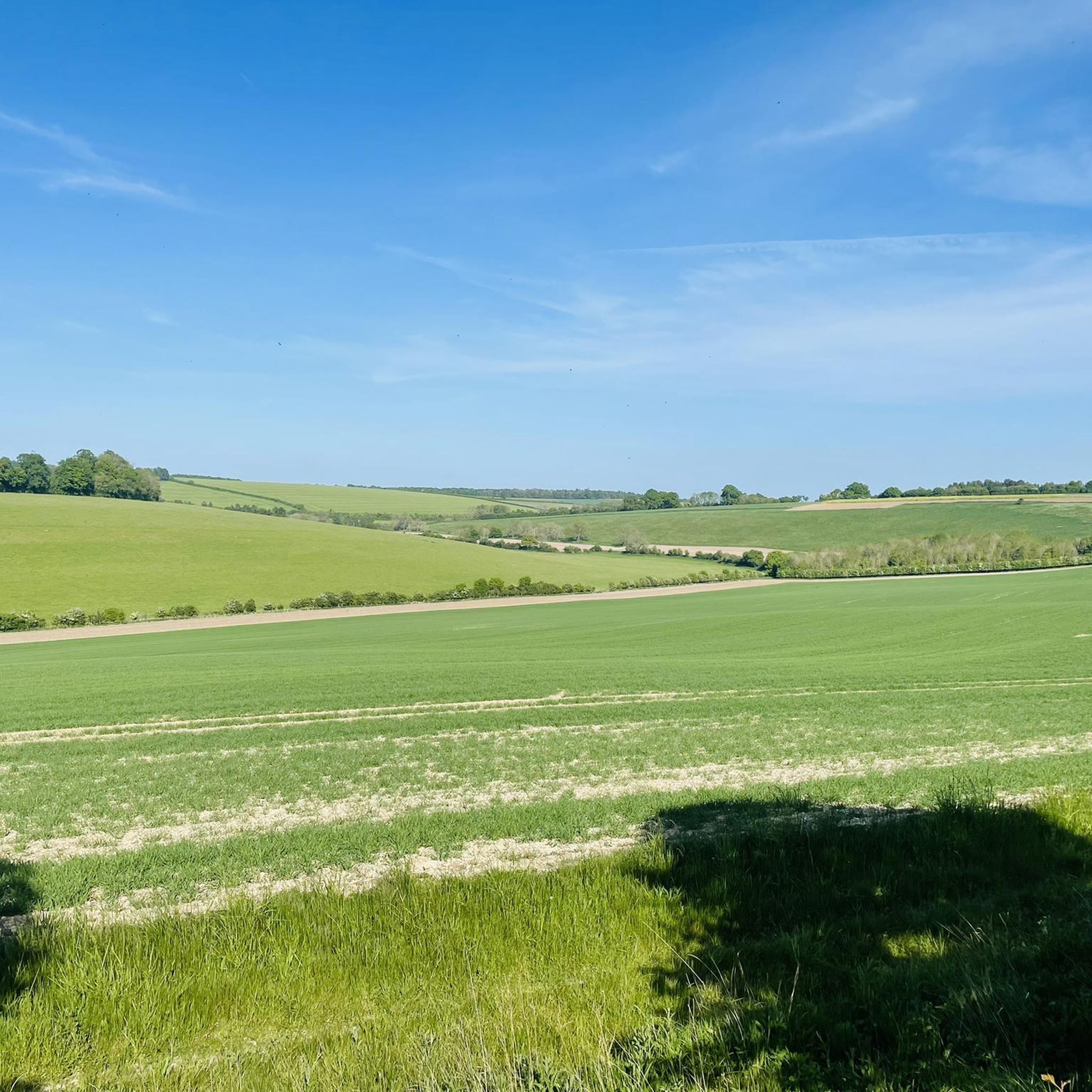
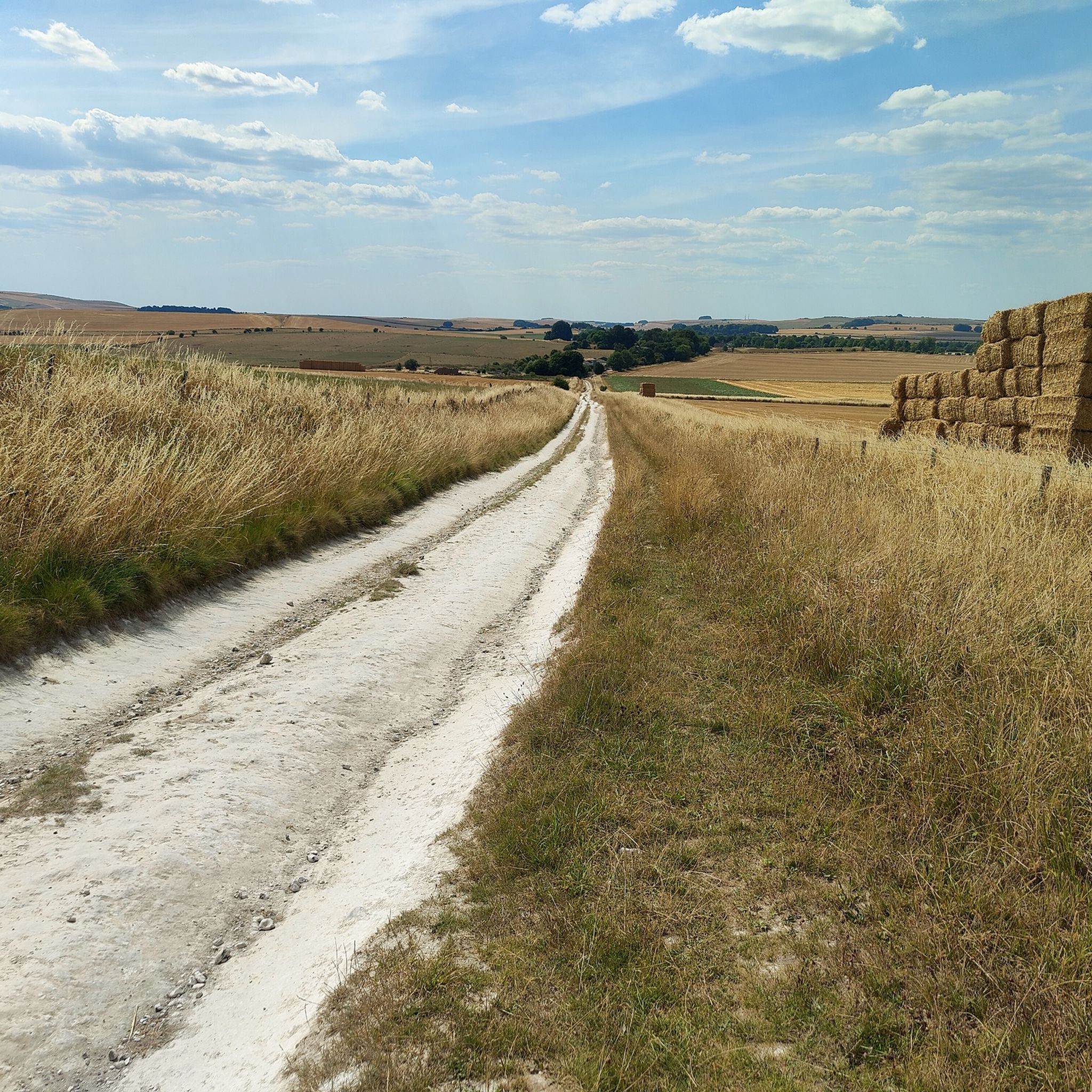
The top section is great coming down after Fyfield Common, but the descent down into Avebury is tricky even on a mtb. Once you reach the farm it's been absolutely destroyed by 4x4s and tractors. So good luck. This type of track is my least favourite part of "official" cycling trails. They just whack the signage up and don't do any restoration or introduction of bylaws to prevent offroad vehicles from using them, restricting enjoyment for other users. It's not like there aren't miles and miles of offroad byways around here which could be legislated for multi-use and non-motorised use.
0
0
マールボロでのの人気観光スポット

komootモバイルアプリでインスピレーションを得よう


さらに探索
まだ探しているハイライトが見つかりませんか?他の地域のトップアトラクションのガイドを見てみましょう:
