グレジオル湖のおすすめ登山&山歩きルート
4.7
(26)
122
ハイカー
11
ハイキング
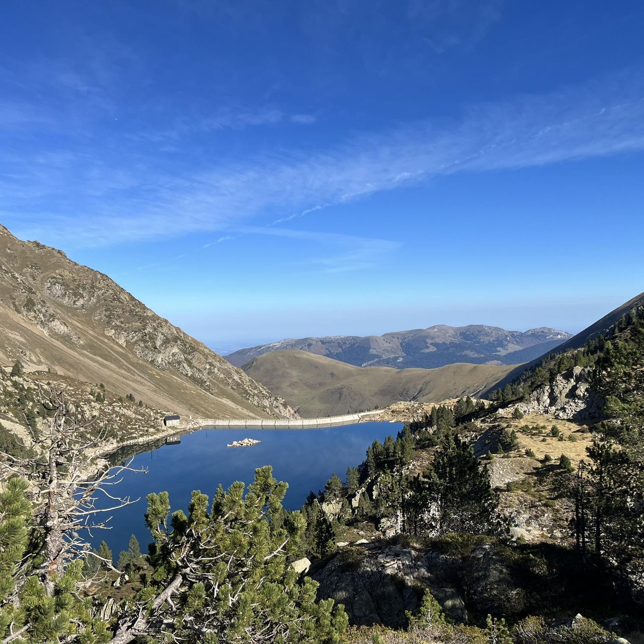
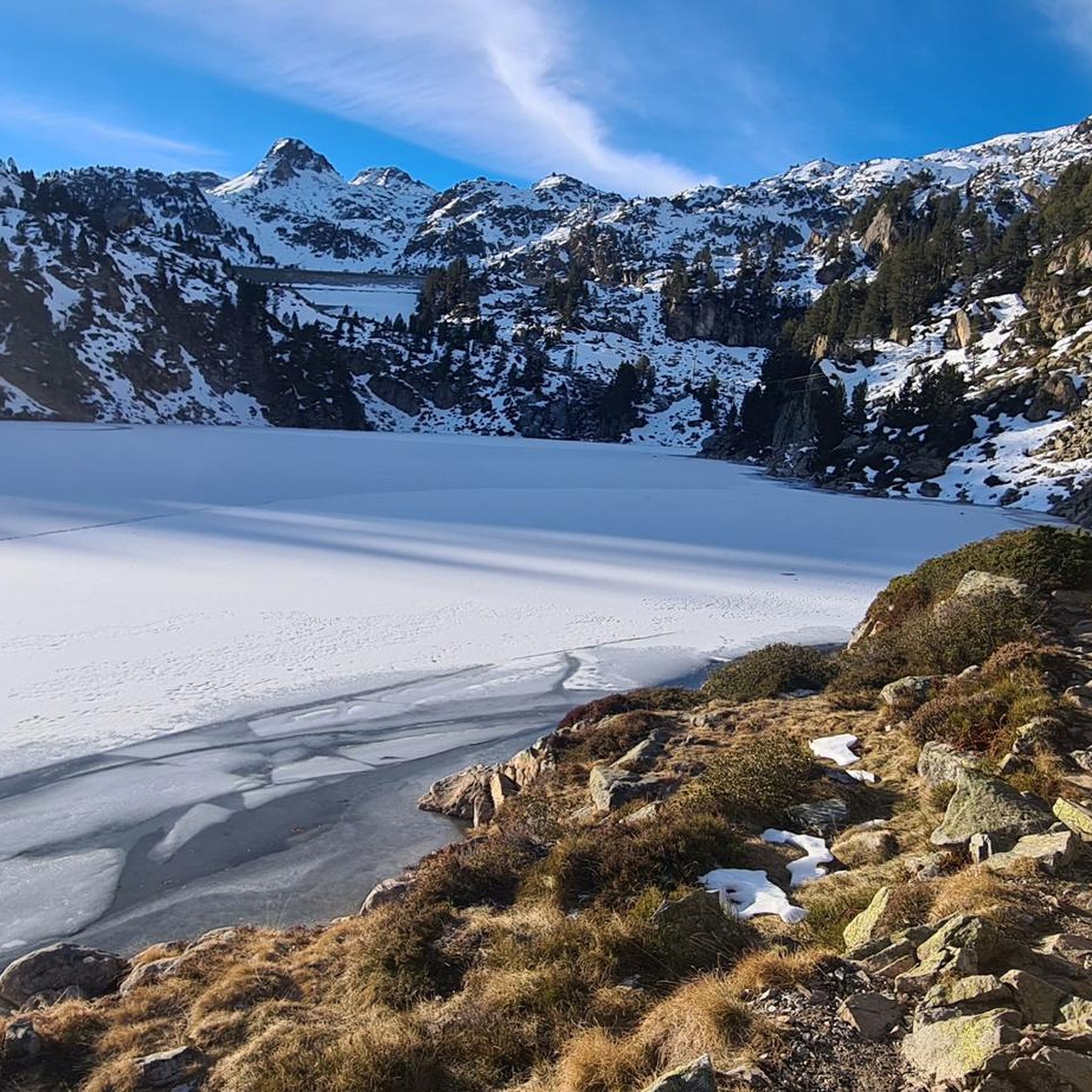
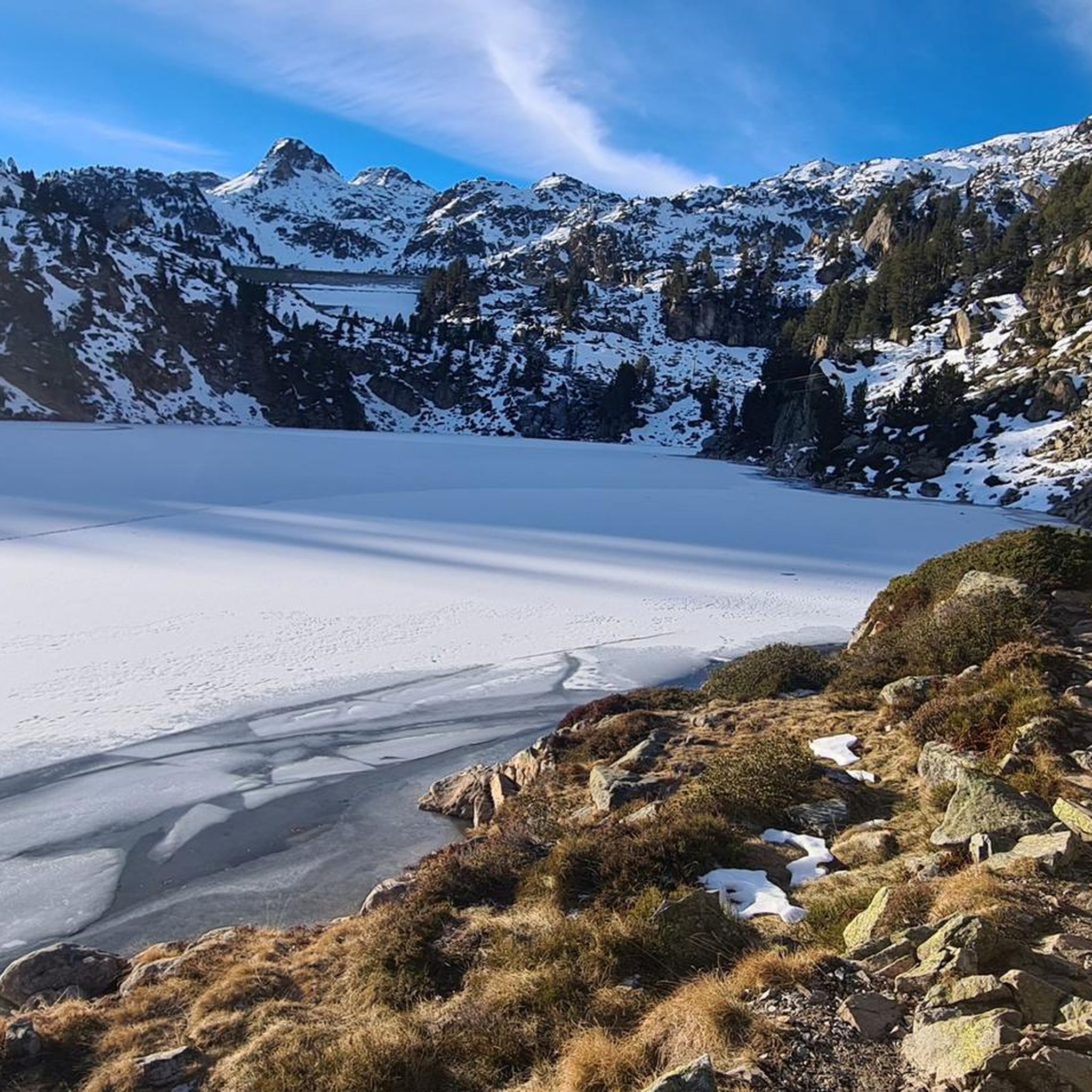
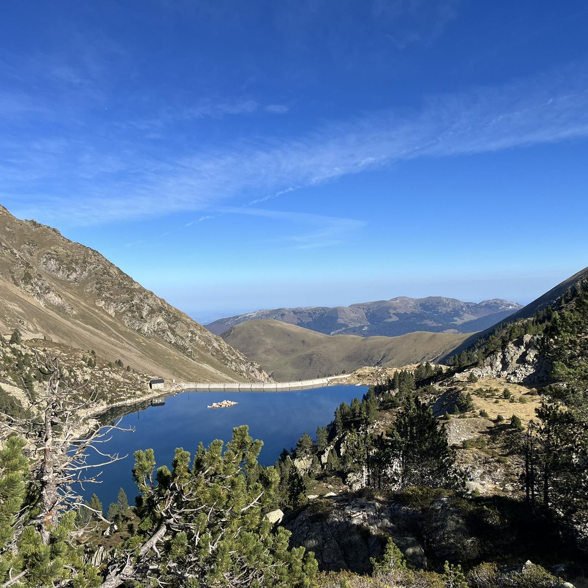
バニェール=ド=ビゴールの山々をもっと探索しませんか?このガイドでご紹介するのは、komootがグレジオル湖での登山&山歩きのコレクション全体を評価して選び抜いた、このエリアの人気ルートです。あなたに合ったルートを見つけるには、他のユーザーがアップロードした役立つ情報や写真を閲覧し、クリック操作で簡単に表示できる詳細なデータを参考にしましょう。グレジオル湖での次の冒険にぴったりの登山&山歩きルートが見つかるはずです。
最終更新日: 9月 10, 2026
5.0
(5)
14
ハイカー
13.1km
05:59
810m
810m
難しい登山ルート. 標準以上のフィットネスレベルが必要です。 全般的に進みやすいルートです。安定して歩行できる技術が必要です。
5.0
(1)
8
ハイカー
21.9km
09:39
1,610m
1,610m
難しい登山ルート. 標準以上のフィットネスレベルが必要です。 全般的に進みやすいルートです。安定して歩行できる技術が必要です。

8
ハイカー
16.3km
06:47
1,050m
1,050m
難しい登山ルート. 標準以上のフィットネスレベルが必要です。 全般的に進みやすいルートです。安定して歩行できる技術が必要です。
5.0
(8)
36
ハイカー
13.1km
04:53
880m
880m
中程度の登山ルート. ある程度のフィットネスレベルが必要です。 進みやすいルートです。あらゆるスキルレベルに適しています。
4.5
(2)
5
ハイカー
11.8km
04:10
270m
270m
中程度の登山ルート. ある程度のフィットネスレベルが必要です。 全般的に進みやすいルートです。安定して歩行できる技術が必要です。
さらに多くのルートや他のユーザーのおすすめ情報を確認できます。
すでにアカウントをお持ちですか?
おすすめのツアーは他のkomootユーザーが実際に経験した何千ものアクティビティに基づいています。
無料アカウントで今日から始めよう
次の冒険が待っています。

コミュニティからのヒント

pic du midi de bigorreはハイカーがアクセスできますが、同じテラスへのアクセス、レストランやスナックへのアクセス、トイレ、または空中の通路へのアクセスはありません。一人あたり30ユーロでアクセス可能です。無料の水場があります。それでもこの場所は注目に値します
0
0


There you'll find expert advice on what to do next on your hikes. If you stay the evening, the dining room is welcoming and the meals are delicious and plentiful. The nearby bivouac area can accommodate around ten tents.
0
0

An amazing view, with the added bonus of some spectacular fine dining (book in advance for dining!)
0
0

Ascent to the summit on foot; no cable car access until 2027. No access to the restaurant or restrooms, but drinking water is available.
0
1

Difficult pass at first, especially in the heat. Easier after the first third. Be careful of the unlit tunnel 1 km from the summit. For added peace and quiet, the road leading up to the pass is closed to traffic from 4 p.m. to 6 p.m.
0
0

Do it in the evening for the sunset, it's magnificent or conversely to admire the sunrise. The night of stars is magnificent! 🤩
0
1

Culminating at 2,215 meters above sea level, it is the highest pass in the Pyrenees taken by a road. Overlooking the village of Saint-Lary Soulan, it offers a lovely panorama of the valley.
0
0

komootモバイルアプリでインスピレーションを得よう


さらに探索
他の地域の最高の登山ハイキング & ルートを見てみましょう。
