ウィルズフォード周辺のアトラクション&必見スポット - トップ20
ウィルズフォードには必見のスポットがたくさんあります。ハイキング愛好家やサイクリング愛好家の方は、ぜひウィルズフォードを探索してこのエリアにある20
の隠れたスポットを訪れてみてください。このエリアの必見スポットを確認し、次の冒険に出かける計画を立てましょう。
最終更新日: 10月 23, 2026
ストーンヘンジ・ビジターセンターのサーセンストーン
ハイライト • 記念碑
翻訳者 Google •
役立つ情報 は

ウォーカーズ・ヒル
ハイライト • 自然記念物
役立つ情報 は

今すぐサインアップして、こんな場所を発見しよう
最高のシングルトラック、ピーク、その他のエキサイティングなアウトドアスポットのおすすめを受け取ろう。
カースス・バロウズ
ハイライト • 自然記念物
翻訳者 Google •
役立つ情報 は
ワンズダイク・パス
ハイライト • トレイル
The path begins in Marlborough near the famous Marlborough White Horse before passing Savernake Forest, Knapp Hill and Tan Hill and finishing at Morgan's Hill.
役立つ情報 は

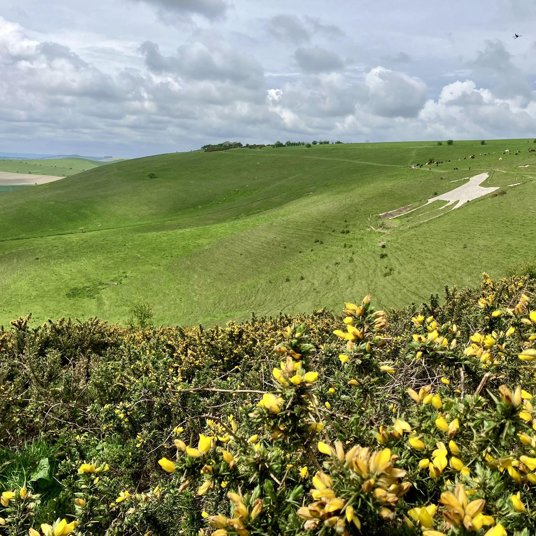
オルトン・バーンズ・ホワイト・ホース
ハイライト • 展望台
役立つ情報 は

無料でサインアップして、さらに多くの観光スポットを発見しましょう ウィルズフォードでの。
すでにアカウントをお持ちですか?
無料アカウントで今日から始めよう
次の冒険が待っています。

コミュニティからのヒント

Why exactly there? Archaeologists suspect several reasons: Line of sight From the mounds, there is a direct view of Stonehenge. Sacred landscape The entire plain was a ritual area with paths, graves, and ceremonial sites. Status symbol Important people were buried near the famous sanctuary. Interesting fact There are over 300 burial mounds in the vicinity of Stonehenge – one of the largest prehistoric burial landscapes in Europe.
0
0
Here is a simple overview map explaining the landscape south of Stonehenge and why the burial mounds are located there. Landscape south of Stonehenge The most important range of mounds is called Normanton Down Barrows. It lies about 1 km south of Stonehenge. There are over 40 burial mounds there, dating from 2600–1600 BC. The mounds are situated on a long ridge that faces directly towards Stonehenge. Simplified diagram of the location North ↑ Stonehenge ○ | | approx. 1 km | ───────────────── Hill ridge with many burial mounds (Normanton Down) ○ ○ ○ ○ ○ ○ ○ ○ ○ ○ ↓ South Important hills there One particularly famous burial mound is Bush Barrow A richly furnished grave of a Bronze Age prince, containing gold objects and weapons, was found there.
0
0


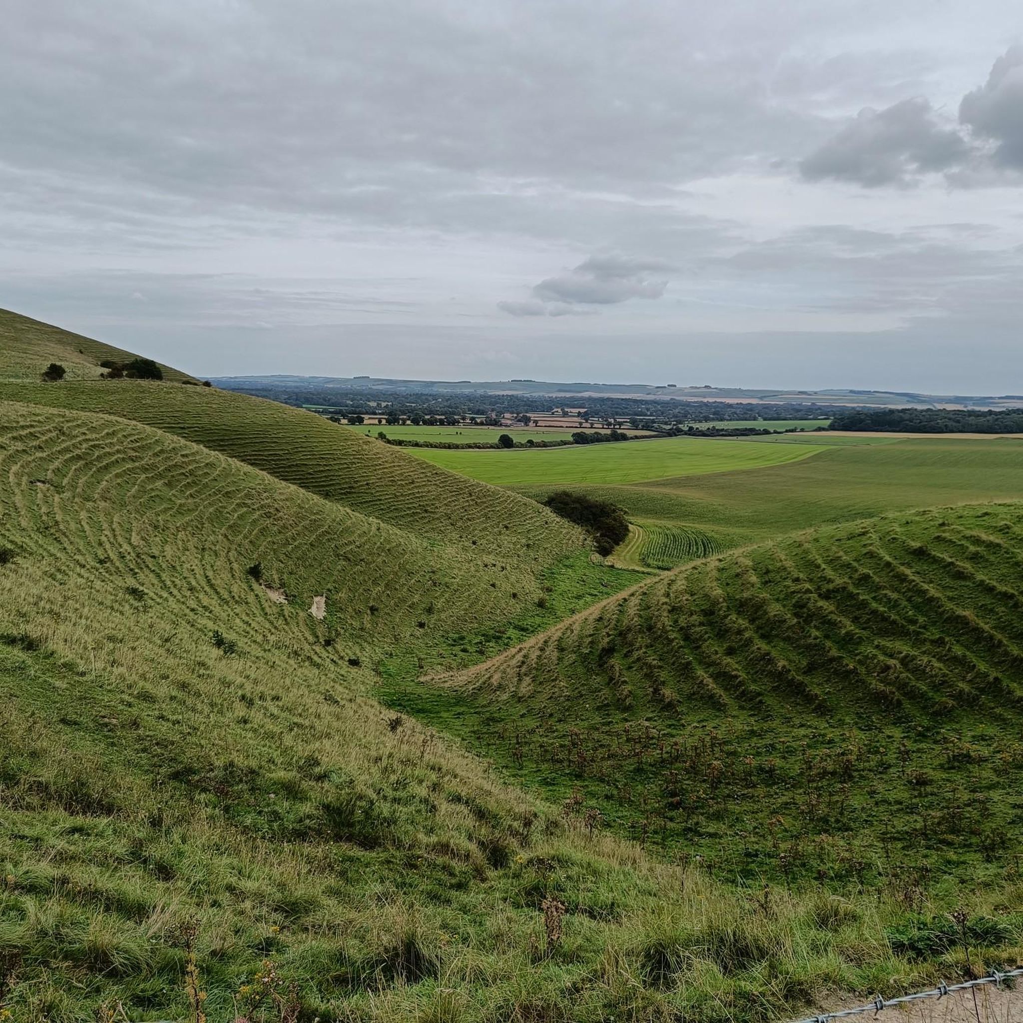
The Path: The formal Wansdyke Path is a long-distance walking route that primarily follows the impressive East Wansdyke in Wiltshire. Route: It typically runs for about 13 miles (21 km) between Marlborough and Morgan's Hill. Experience: Walking the path offers a spectacular experience, with sections that allow you to walk along the top of the impressive bank, providing commanding views over the surrounding Marlborough Downs and Pewsey Vale. Connectivity: Parts of the Wansdyke Path coincide with other regional walking routes, such as the White Horse Trail and the Wessex Ridgeway.
0
0
The Wansdyke is traditionally divided into two main parts: East Wansdyke: The most impressive and best-preserved section, running between Savernake Forest near Marlborough and Morgan's Hill in Wiltshire. West Wansdyke: A less substantial section running from Monkton Combe (south of Bath) to the hill fort of Maes Knoll (south of Bristol). Middle Section: The section connecting the two is often marked by the line of the old London to Bath Roman road.
0
0
Dating and Purpose: It is generally believed to be post-Roman (late Roman or sub-Roman, possibly 5th or 6th century AD) and was likely built by the native Britons as a defensive measure against the expanding Anglo-Saxons.
0
0
A series of early medieval defensive linear earthworks consisting of a large bank and a deep ditch. The ditch generally faces north, suggesting it was built as a defence against invaders coming from the north. Location: The Wansdyke runs in an east-west direction through the West Country of England, stretching across parts of Wiltshire and Somerset. Name Origin: Its name, Wansdyke, is thought to be derived from "Woden's Dyke", referring to the Anglo-Saxon god Woden.
0
0

It's unbelievable what people have achieved and built in the past (without any technology) - it's simply impressive and breathtaking
2
0
ウィルズフォードでのの人気観光スポット

komootモバイルアプリでインスピレーションを得よう


さらに探索
まだ探しているハイライトが見つかりませんか?他の地域のトップアトラクションのガイドを見てみましょう:
