ラントンロングブランドフォード周辺のアトラクション&必見スポット - トップ20
ラントンロングブランドフォードには必見のスポットがたくさんあります。ハイキング愛好家やサイクリング愛好家の方は、ぜひラントンロングブランドフォードを探索してこのエリアにある20
の隠れたスポットを訪れてみてください。このエリアの必見スポットを確認し、次の冒険に出かける計画を立てましょう。
最終更新日: 10月 9, 2026
シリングストーン鉄道駅と博物館
ハイライト (セグメント) • 歴史的な場所
役立つ情報 は

ハムブレドン・ヒルの鉄器時代の丘砦
ハイライト • 展望台
役立つ情報 は

今すぐサインアップして、こんな場所を発見しよう
最高のシングルトラック、ピーク、その他のエキサイティングなアウトドアスポットのおすすめを受け取ろう。
ノース・ドーセット・トレイルウェイ
ハイライト (セグメント) • トレイル
役立つ情報 は

Badbury Rings(バッドベリー・リングス) — 鉄器時代の丘砦
ハイライト • 展望台
役立つ情報 は

ブランフォードの鉄道アーチと歩道橋
ハイライト (セグメント) • 歴史的な場所
役立つ情報 は
無料でサインアップして、さらに多くの観光スポットを発見しましょう ラントンロングブランドフォードでの。
すでにアカウントをお持ちですか?
無料アカウントで今日から始めよう
次の冒険が待っています。

コミュニティからのヒント


In addition to the main rail bridge spanning the river, smaller bridges were built to allow traffic and pedestrians to cross the cuttings and track as it travelled north-west. Three bridges were built for this purpose and all of them remain integral to the navigation of the town today. Arguably the most distinctive of them is the Alexandra Street pedestrian footbridge, above the site of the dismantled station. Constructed from iron and now partially supported by four narrow legs, the bridge stands at what was once the northern end of the station, where the single-line section to Templecombe began. Blandford station remained open until 7 March 1966, when the entire line from Bath to Bournemouth closed to passengers. Goods traffic continued for a further three years, but the station was finally closed and the track lifted in 1969. Following the closure, the Damory railway bridges, on the southern approach to the station, were eventually demolished in 1978.
1
0
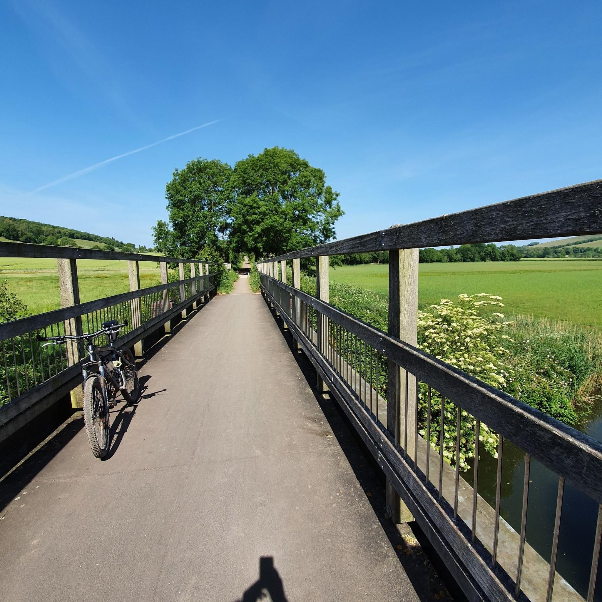
What a beautiful place to ride a bike! Nothing too demanding along this route. A mixture of cyclists, dog walkers, hikers and pushchair parents. highly recommend this route.
1
0
Shillingstone railway station was a station on the Somerset and Dorset Joint Railway (S&DJR), serving the village of Shillingstone in the English county of Dorset. Shillingstone is the last surviving example of a station built by the Dorset Central Railway (one of the forerunners of the S&DJR). The station closed in 1966, when services were withdrawn from the S&DJR route. Since 2001, enthusiasts have been working to re-open the station as a heritage railway attraction.[1] The main building has now been renovated, and opened to the public as a museum, shop and refreshment room in 2008.[ The station was opened on 31 August 1863 by the Somerset and Dorset Railway, although planned and designed by one of its two predecessors, the Dorset Central Railway. Initial train services were provided by the London and South Western Railway (LSWR). In 1875, the Midland Railway and the LSWR together took over a joint lease of the line, forming the Somerset and Dorset Joint Railway.
0
0
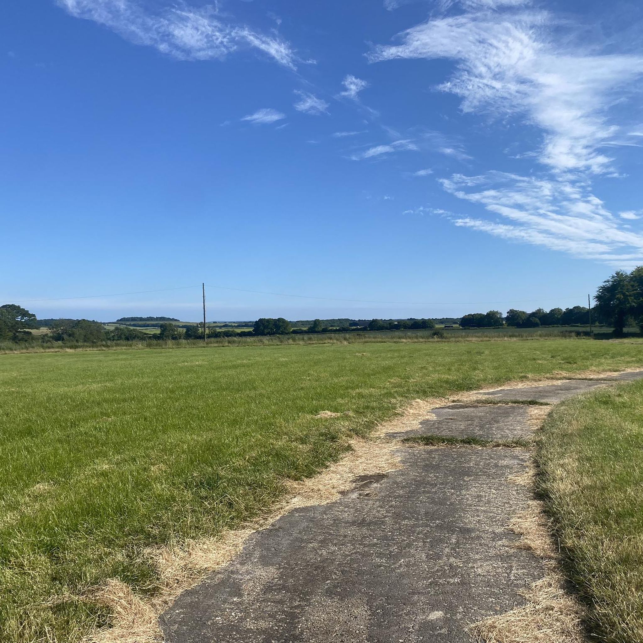
Badbury Rings is an Iron Age hill fort and Scheduled Monument in east Dorset, England. In the Roman era a temple was located immediately west of the fort, and there was a Romano-British town known as Vindocladia ( Known today as Shapwick ) a short distance to the south-west. It sits over 300 feet above sea level, and there are two main phases of construction; the first covered 18 acres and was defended by multiple ditches, while the second was more than twice the size, covering 41 acres and defended by a single ditch and rampart. These ramparts make for great walking, but imagine the terror of trying to scale one whilst under attack from the occupants. Once you'd scaled one, there were more waiting for you. No wonder it was the last fort to be sacked by the Romans. Wonder just how many soldiers died trying to take it. Until 1983 Badbury Rings was privately owned as part of the Kingston Lacy estate, and the owners discouraged investigation of the site.[2] The site now belongs to the National Trust.[2] A survey of the hillfort by the RCHME was begun in 1993. The summit area was cleared of undergrowth by the National Trust in 1997 and the conifer plantation was thinned out. A survey in 1998, which recorded 28 potential hut sites within the ramparts, although some depressions are probably caused by uprooted trees. The first excavations, led by Martin Papworth, took place in 2004, when three evaluation trenches were dug. Almost all of the pottery found was dated to the Late Iron Age. The current evidence does not suggest that the hillfort was a principal settlement in the Early Iron Age. It seems likely that the hillfort became depopulated towards the end of the Late Iron Age, perhaps as the Vindocladia settlement near Shapwick developed.
1
0
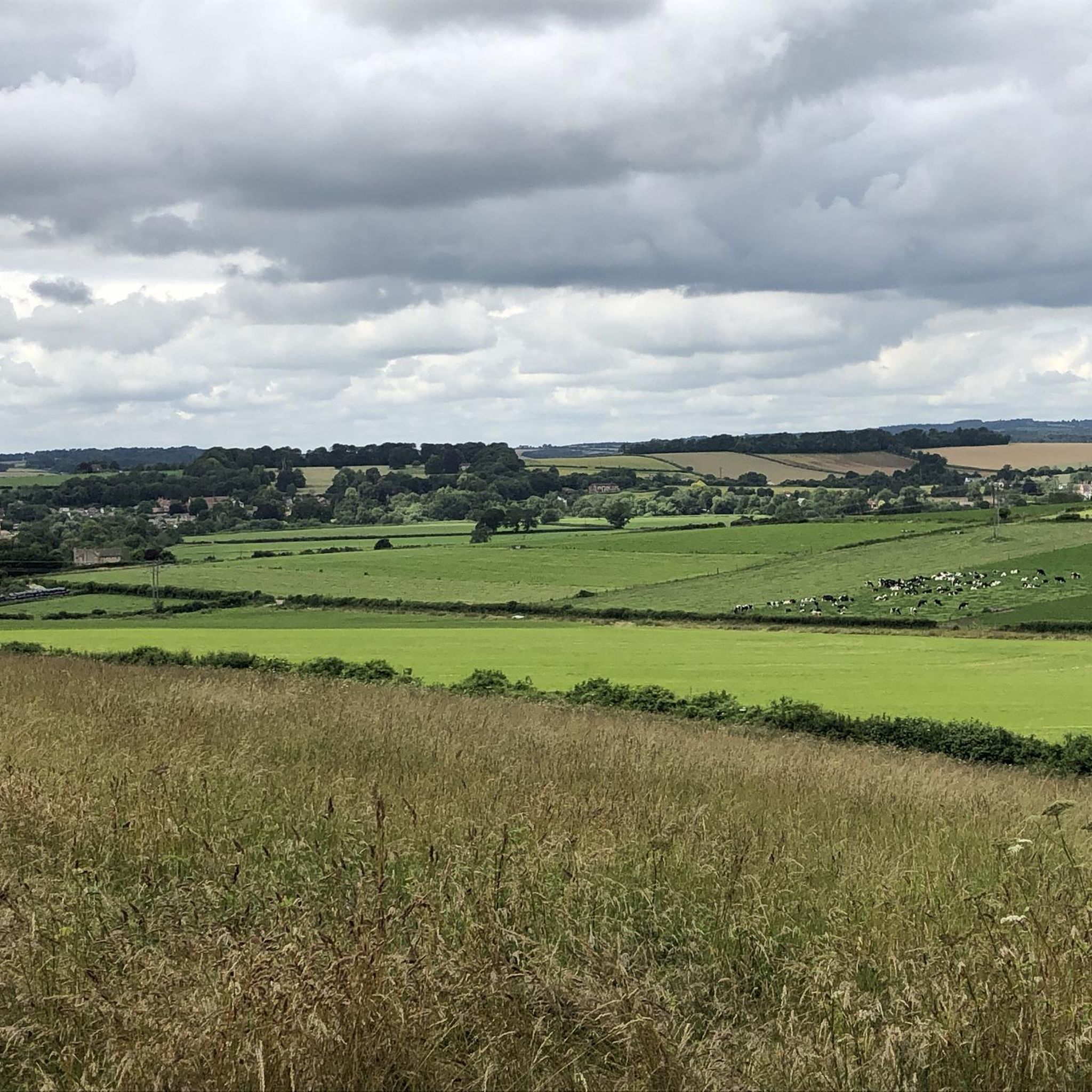
The hill is now a National Nature Reserve (NNR) with common plants including milkwort, salad burnet, horseshoe vetch, squinancywort, pyramidal orchid and wild thyme. Rarer species include bastard toadflax, meadow saxifrage, early gentian and dwarf sedge. Butterflies include dingy skipper, grizzled skipper, chalkhill blue and Adonis blue. In August 2014, Hambledon Hill fort was acquired by the National Trust for £450,000. The money to buy the hill had come from a Natural England grant and a legacy gift left to benefit Dorset countryside. The hillfort is a Scheduled Monument, as is the adjacent Neolithic causewayed camp.
2
0

Bradbury Rings is an Iron Age hill fort. The Romans built a temple here and there was a Romano-British town known as Vindocladia nearby. Today, you can run the earthworks and around the edge, it's fun and fascinating. The National Trust own and manage the site but it's open access to all.
0
0
ラントンロングブランドフォードでのの人気観光スポット

komootモバイルアプリでインスピレーションを得よう


さらに探索
まだ探しているハイライトが見つかりませんか?他の地域のトップアトラクションのガイドを見てみましょう:
