アンテルヌ湖のおすすめランニングルート
4.7
(61)
5,355
ランナー
54
ランニング
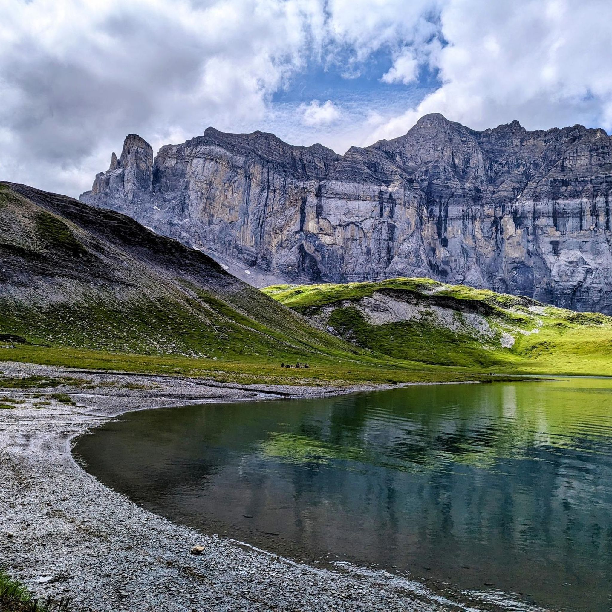
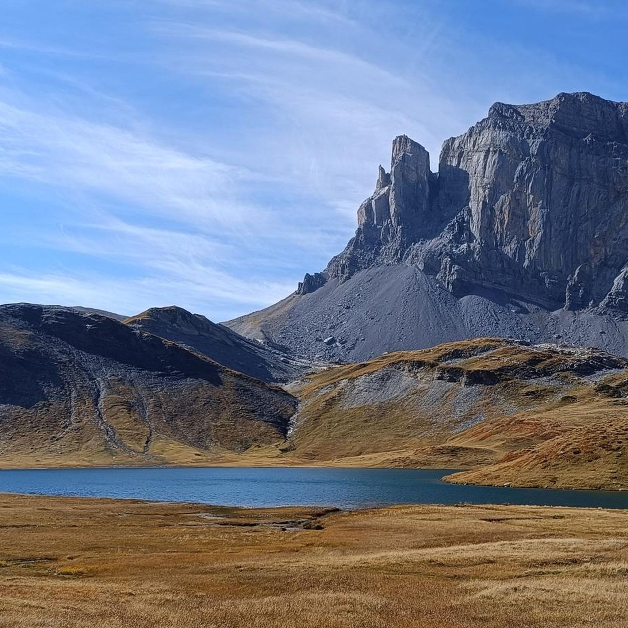
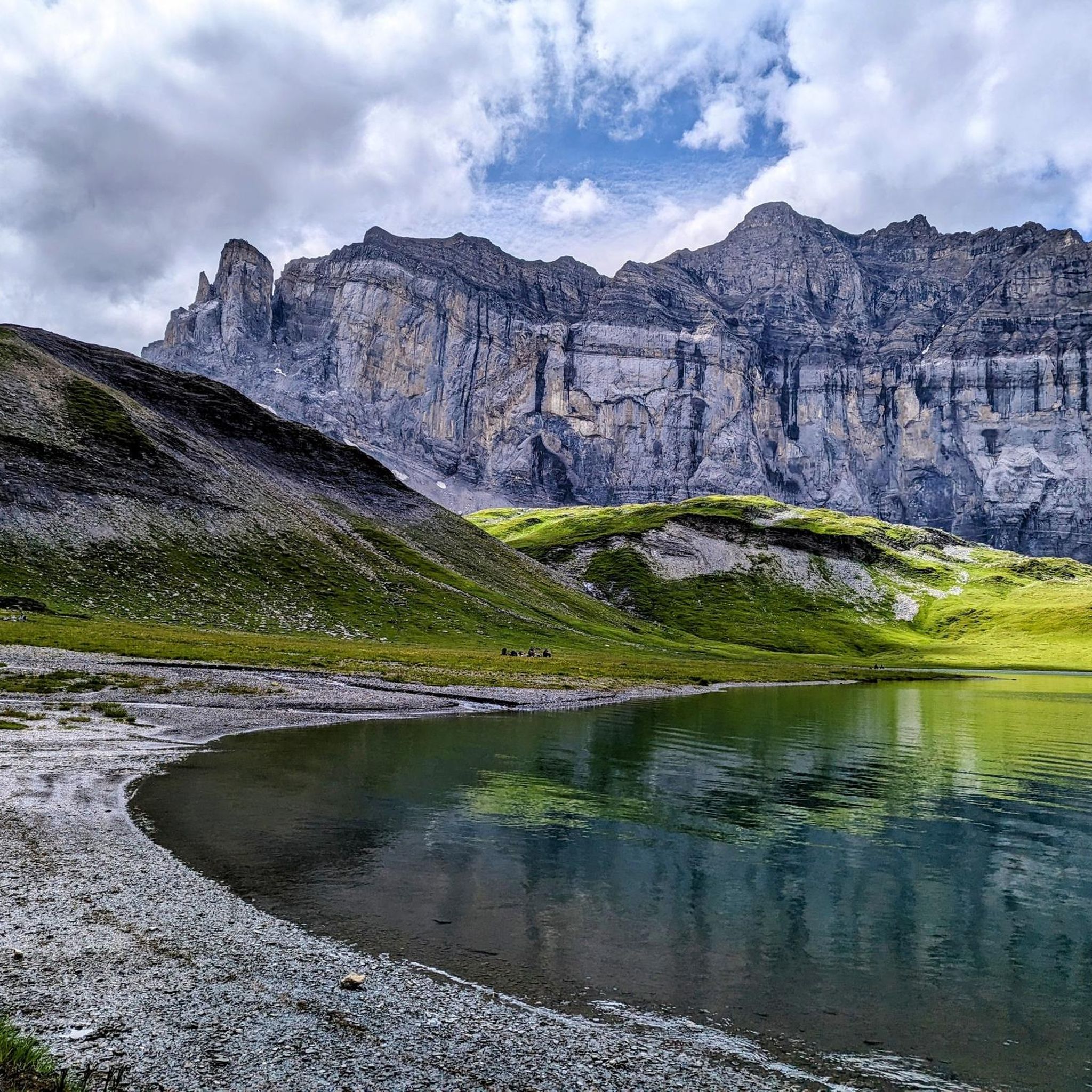
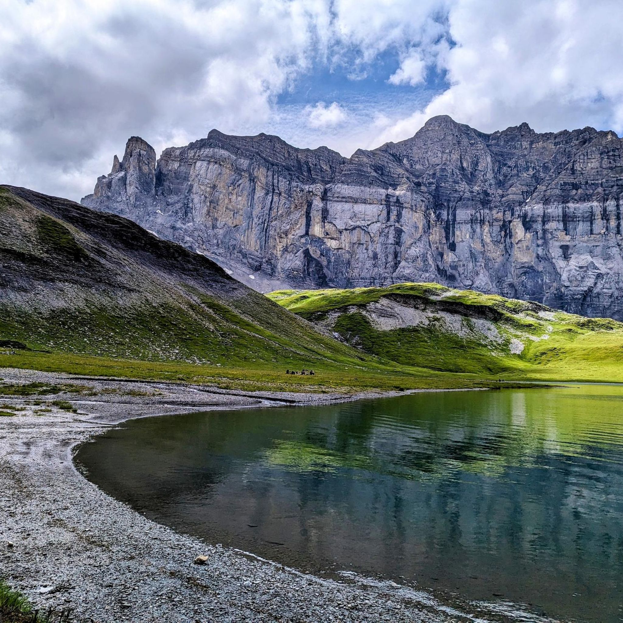
アンテルヌ湖でランニングを楽しめば、このエリアをより深く知ることができます。ランニングに適した美しいルートが見つかるように、komootがアンテルヌ湖でのルートのコレクション全体を評価して選び抜いた、人気ランニングトレイルをご紹介します。ルートをクリックして詳細を表示し、他のユーザーがアップロードした役立つ情報や写真を閲覧しましょう。
最終更新日: 9月 3, 2026
94
ランナー
15.6km
03:10
1,060m
1,060m
難しいジョギング. 標準以上のフィットネスレベルが必要です。 安定して歩行できる技術、丈夫な靴、高標高地での登山経験が必要です。
20
ランナー
7.20km
01:33
570m
570m
難しいジョギング. 標準以上のフィットネスレベルが必要です。 安定して歩行できる技術、丈夫な靴、高標高地での登山経験が必要です。

4.5
(4)
194
ランナー
15.6km
01:59
420m
420m
難しいジョギング. 標準以上のフィットネスレベルが必要です。 安定して歩行できる技術、丈夫な靴、高標高地での登山経験が必要です。
4.0
(2)
48
ランナー
8.52km
01:22
440m
440m
難しいジョギング. 標準以上のフィットネスレベルが必要です。 安定して歩行できる技術、丈夫な靴、高標高地での登山経験が必要です。
13
ランナー
15.7km
03:25
1,370m
1,370m
難しいジョギング. 標準以上のフィットネスレベルが必要です。 安定して歩行できる技術、丈夫な靴、高標高地での登山経験が必要です。
さらに多くのルートや他のユーザーのおすすめ情報を確認できます。
すでにアカウントをお持ちですか?
おすすめのツアーは他のkomootユーザーが実際に経験した何千ものアクティビティに基づいています。
無料アカウントで今日から始めよう
次の冒険が待っています。


コミュニティからのヒント

In autumn, a room is open as a place to sleep (go up the steel stairs at the back).
0
1

The views of the ravine from this bridge are impressive.
1
0

The Cascade du Rouget, also known as the "Queen of the Alps," is one of the most impressive waterfalls in Haute-Savoie. It's a lovely place to linger, and you can park right there 🙂
1
0

You have to have your footing sure to go around the Buet. You have to look carefully where the path is in the scree, if you are a little apprehensive, there is the possibility of going around it by going through the Cheval Blanc. You will have to pass cables and the last climb is very steep but it is so beautiful. In mid-July when I did it the small lake was still frozen and snowy. Possibility of doing this tour in 2 days by sleeping at the Grenairon refuge
0
0

The Rouget waterfall is a waterfall in the Giffre Valley (France) which flows all year round from the Sales torrent upstream and which joins the Giffre des Fonds downstream to constitute the Petit Giffre in the commune of Sixt- Horseshoe. It is made up of three jumps: the first two upstream of the road separated by a short flat which constitutes the upstream fall and a last one downstream of the road after a short course of the torrent which constitutes the downstream fall. The upstream fall is around a hundred meters high with a jump halfway up which can be impressive when the snow melts due to the rebound of the water on the stone slab. In case of high flow, splashes of water make the surrounding stones slippery; accidents have already occurred in these dangerous conditions. It is accessible directly by a small road, which makes it a very popular tourist site despite the deterioration of the surface. It is one of the two referenced sites in the commune with the Fer-à-Cheval cirque. Her nickname is “the queen of the Alps”. Popular traditions have attributed to it virtues of virility and fertility to such an extent that the elders still offer a bottle of this water to newlyweds, without the qualities of this water having ever been proven. This waterfall was named the most beautiful French waterfall in 2009.
1
0
Point of intersection La Cascade du Rouget Altitude 960m The Rouget waterfall is a waterfall in the Giffre Valley (France) which flows all year round from the Sales torrent upstream and which joins the Giffre des Fonds downstream to constitute the Petit Giffre in the commune of Sixt- Horseshoe. It is made up of three jumps: the first two upstream of the road separated by a short flat which constitutes the upstream fall and a last one downstream of the road after a short course of the torrent which constitutes the downstream fall. The upstream fall is around a hundred meters high with a jump halfway up which can be impressive when the snow melts due to the rebound of the water on the stone slab. In case of high flow, splashes of water make the surrounding stones slippery; accidents have already occurred in these dangerous conditions. It is accessible directly by a small road, which makes it a very popular tourist site despite the deterioration of the surface. It is one of the two referenced sites in the commune with the Fer-à-Cheval cirque. Her nickname is “the queen of the Alps”. Popular traditions have attributed to it virtues of virility and fertility to such an extent that the elders still offer a bottle of this water to newlyweds, without the qualities of this water having ever been proven. This waterfall was named the most beautiful French waterfall in 2009.
1
0

Buvette and restaurant on the outskirts of Sixt-Fer-à-Cheval, offering food and drinks in a beautiful alpine setting. A great place to have a coffee before a long mountain walk or a cold beer afterwards.
1
0

komootモバイルアプリでインスピレーションを得よう


さらに探索
他の地域の最高のランニングトレイル & ルートを見てみましょう。
