アリントンのおすすめウォーキング&ハイキングルート
4.6
(1189)
8,000
ハイカー
322
ハイキング
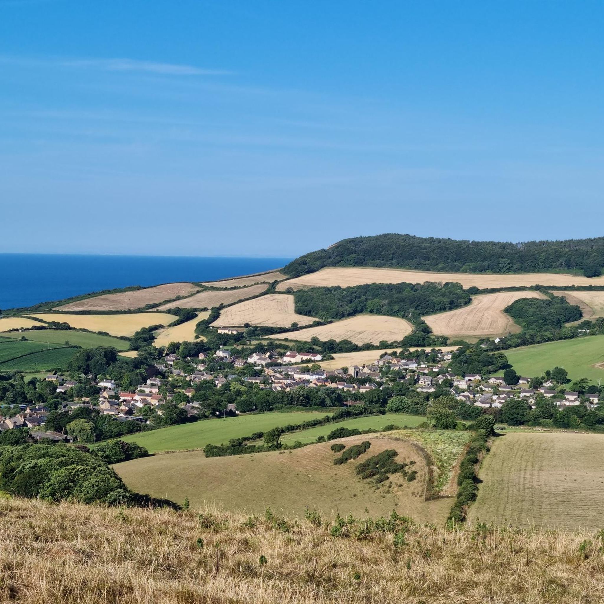
アリントン 周辺でおすすめのハイキングやウォーキングを楽しんでいただけるように、このエリアの小径やルートを集めたkomootコレクション全体を見直しました。 以下で各ルートの詳細をご覧になり、アリントン周辺の大自然を満喫する際の参考にしてください。
最終更新日: 8月 20, 2026

4.6
(20)
84
ハイカー
9.39km
03:11
200m
200m
中程度のハイキング. ある程度のフィットネスレベルが必要です。 進みやすいルートです。あらゆるスキルレベルに適しています。
1.0
(1)
10
ハイカー
5.48km
01:27
50m
50m
初級者向けハイキング. あらゆるフィットネスレベルに適しています。 進みやすいルートです。あらゆるスキルレベルに適しています。

無料新規登録
4.0
(2)
5
ハイカー
9.80km
03:01
340m
360m
中程度のハイキング. ある程度のフィットネスレベルが必要です。 進みやすいルートです。あらゆるスキルレベルに適しています。
4.8
(12)
114
ハイカー
3.63km
01:03
90m
90m
初級者向けハイキング. あらゆるフィットネスレベルに適しています。 進みやすいルートです。あらゆるスキルレベルに適しています。
4.3
(4)
70
ハイカー
17.7km
04:37
130m
130m
中程度のハイキング. ある程度のフィットネスレベルが必要です。 進みやすいルートです。あらゆるスキルレベルに適しています。
さらに多くのルートや他のユーザーのおすすめ情報を確認できます。
無料新規登録
すでにアカウントをお持ちですか?
おすすめのツアーは他のkomootユーザーが実際に経験した何千ものアクティビティに基づいています。
無料アカウントで今日から始めよう
次の冒険が待っています。
ログインまたは登録


コミュニティからのヒント

West BayとBurton Bradstock間の海岸沿いの道は、地滑りのため現在閉鎖されています。Bridport and West Dorset Golf Clubを横切る公道を利用する迂回路が設けられています。迂回路の詳細と地図については、South West Coast Pathのウェブサイトをご覧ください。
0
0


As far as I am aware, the West Bay coastal path is closed due to many landslip and the path disappearing into the bay.
0
0

End of the Esplanade past the rocks on the beach is great at sunset
0
0

Still accessible, but it's forever eroding, making it unstable near the cliffs edge.
0
0
View over to Golden Cap, which is the highest point of the Jurassic coast.
1
0

The cliff top is closed due to massive erosion and possible land slips. There is a diversion which leads through the golf course.
0
0
Dating back to 1086, this small hamlet first started off as a farming and fishing community, unfortunately dying off in the 1700s with residents finding work in the mills and rope-walks in neighbouring Bridport. The Chapel which is just up the track was abandoned in the 13th century, and locals tried in the 16th century to have it restored. To no success. During the 18th century it became known as a smugglers hideout for their the contraband.
1
0
アリントンでのの人気観光スポット

komootモバイルアプリでインスピレーションを得よう


さらに探索
他の地域の最高のハイキングを見てみましょう。
