ラ・バロニア・デ・リアルブのおすすめウォーキング&ハイキングルート
4.7
(53)
423
ハイカー
47
ハイキング
ラ・バロニア・デ・リアルブ周辺でのハイキングは、景色を満喫するのに最適な手段のひとつですが、適切なハイキングルートを見つけることは簡単ではありません。 ラ・バロニア・デ・リアルブ周辺の人気ハイキング&ウォーキングコースを参考にすれば、行きたいルートをすぐに見つけられます。
最終更新日: 8月 22, 2026
5.0
(4)
14
ハイカー
13.8km
04:06
370m
370m
中程度のハイキング. ある程度のフィットネスレベルが必要です。 全般的に進みやすいルートです。安定して歩行できる技術が必要です。
5.0
(5)
10
ハイカー
5.86km
02:00
260m
260m
難しいハイキング. あらゆるフィットネスレベルに適しています。 安定して歩行できる技術、丈夫な靴、高標高地での登山経験が必要です。

無料新規登録
6
ハイカー
9.17km
02:34
170m
170m
中程度のハイキング. ある程度のフィットネスレベルが必要です。 進みやすいルートです。あらゆるスキルレベルに適しています。
5
ハイカー
6.95km
01:57
140m
140m
初級者向けハイキング. あらゆるフィットネスレベルに適しています。 進みやすいルートです。あらゆるスキルレベルに適しています。
4
ハイカー
5.45km
01:26
40m
40m
初級者向けハイキング. あらゆるフィットネスレベルに適しています。 進みやすいルートです。あらゆるスキルレベルに適しています。
さらに多くのルートや他のユーザーのおすすめ情報を確認できます。
無料新規登録
すでにアカウントをお持ちですか?
おすすめのツアーは他のkomootユーザーが実際に経験した何千ものアクティビティに基づいています。
無料アカウントで今日から始めよう
次の冒険が待っています。
ログインまたは登録
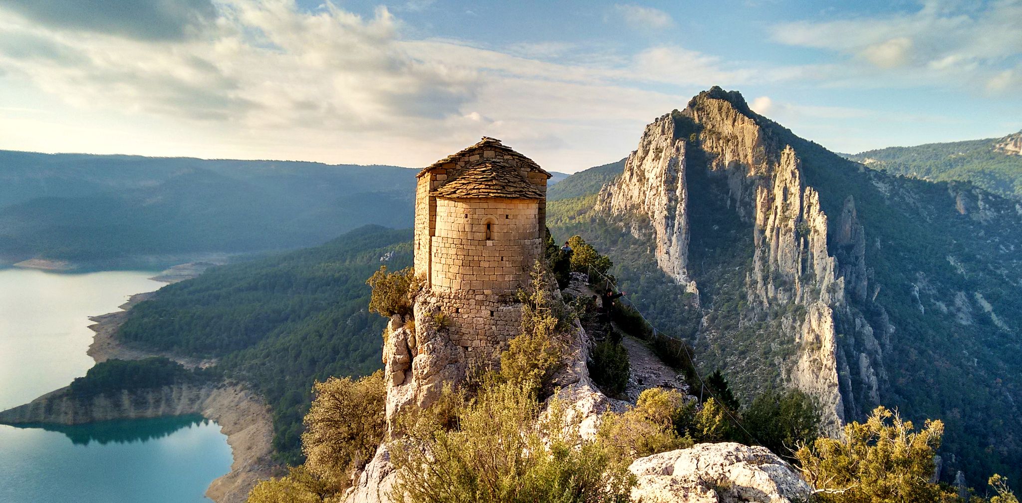
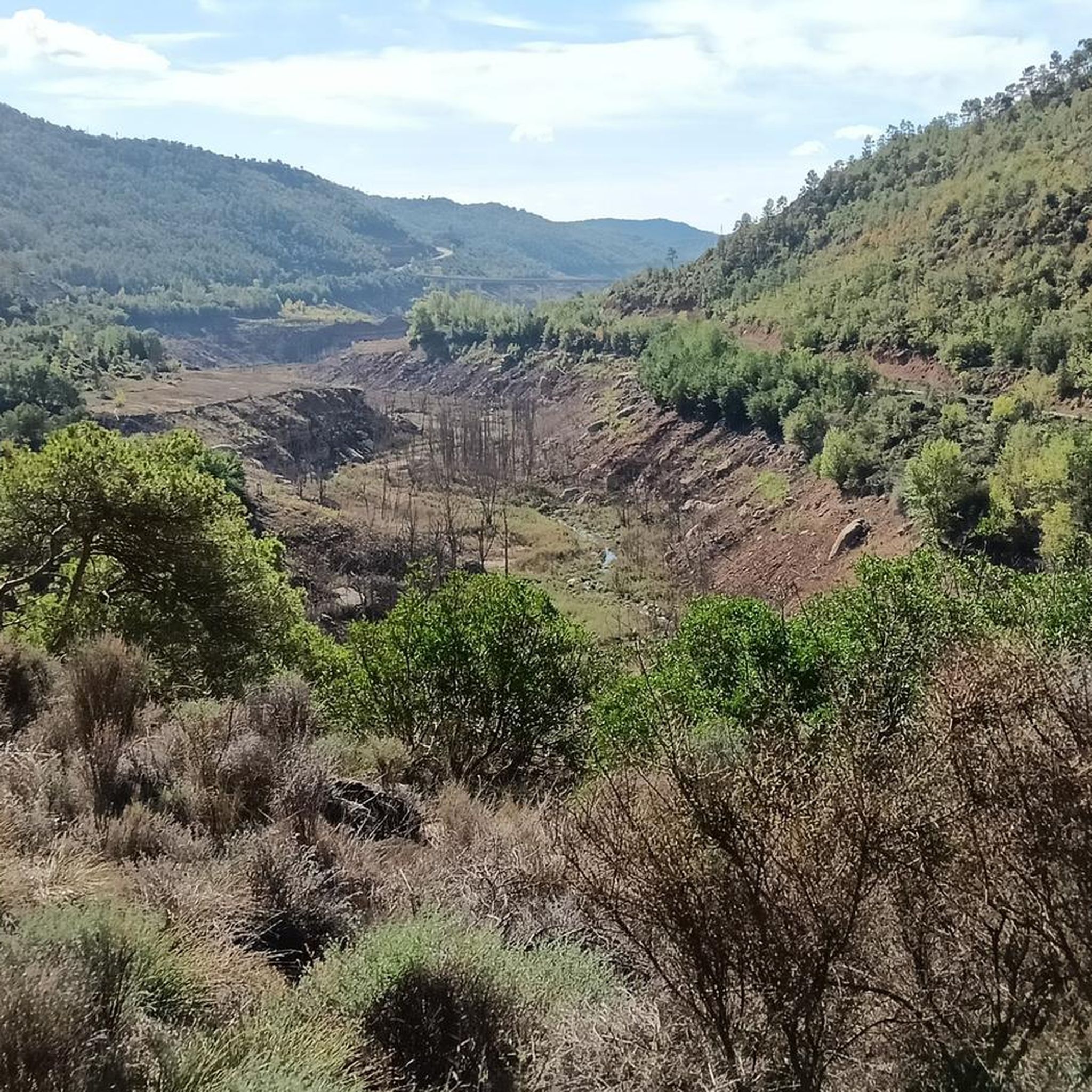
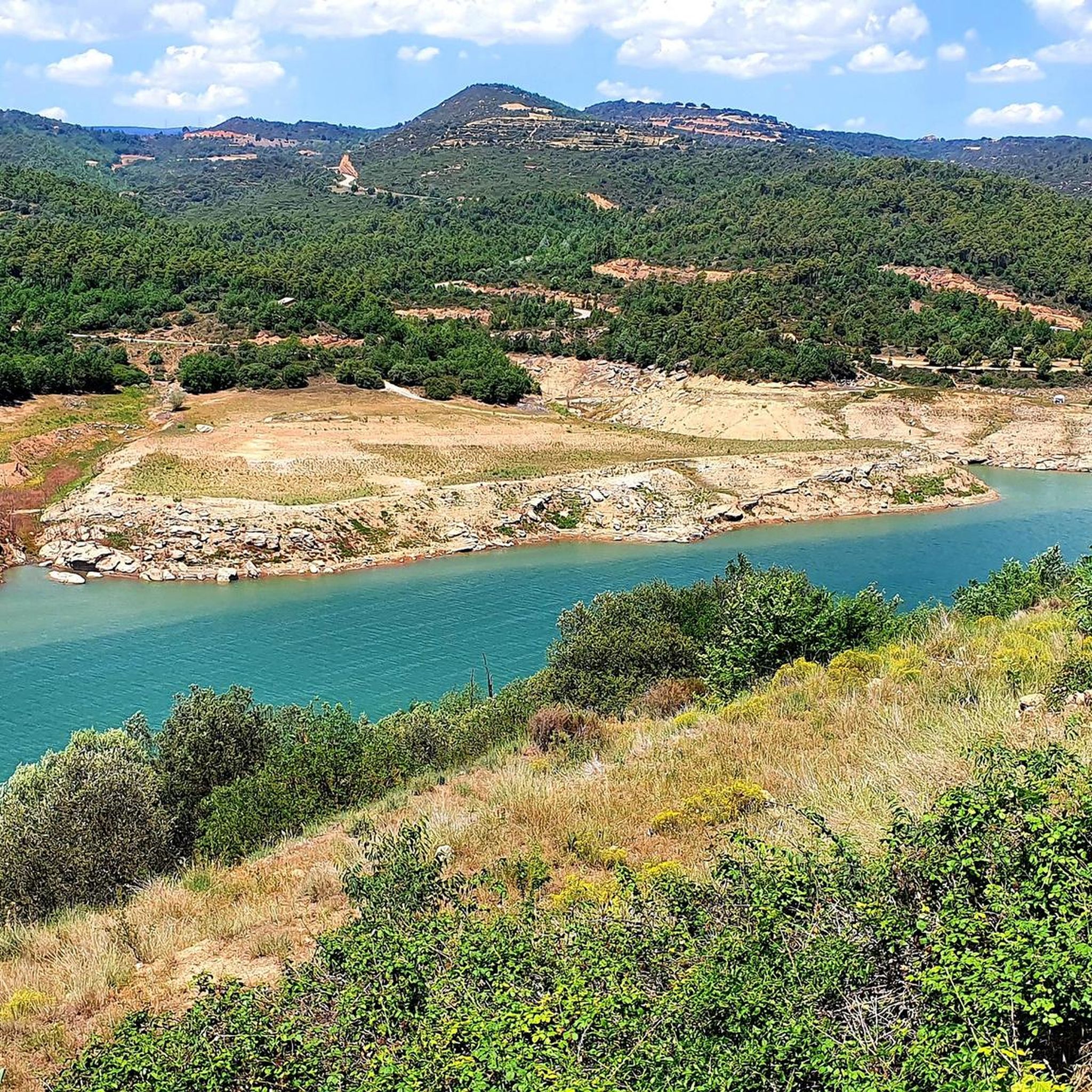

ラ・バロニア・デ・リアルブでのの他の冒険

コミュニティからのヒント

Very beautiful hike to discover
0
0

Next to the Coll d'Ares, it is the most iconic port in the Montsec mountain range and the Lleida Pre-Pyrenees. The views from above, either towards the Pyrenees and the Isona and Tremp valley, as well as the Plana de Lleida, are magnificent. It is a port with 4 aspects, each one different: - The southern slope, which begins in Artesa de Segre, is almost 24 km long and runs along a road with a lot of traffic, very wide and with long straights. After passing the town of Folquer, you face the hardest section of the climb, now with continuous curves and horseshoes, although with a road that is still very wide. The best are the views of the Lleida plain. It is not a side that I like since it is very stinky. - The southeast slope, the one that begins in Pons, is longer than the previous one, with 29 km. It has 2 rest sections, with some descent, and the road is narrow and twisty. There are good views along the climb. This slope joins the southern slope that comes from Artesa de Segre at the height of Folquer, where the hardest 7 km remain until reaching the top of the pass. - The main northern slope begins in Tremp and is 28.2 km. It is similar to the Artesa de Segre slope, with a similar gradient and a wide, busy road with a progressive slope, although it is true that there are no kilometers that reach 7%. I don't like. - The northwest slope, which also begins in Tremp, takes the old road that goes up through the town of Sant Salvador de Toló. It is a climb without traffic, on an irregular asphalt road, one of the old ones, which is grippy and difficult to roll, but in good condition. If you plan to go up to Comiols on the northern slope, you have to do it here and forget about the slope that runs along the main road.
0
0

Small town located below the Coll de Comiols and at the foot of the Roc de Benavent, a stone structure that can be reached on foot from the town itself.
0
0
There is a viewpoint that is located at the edge of the cliff and that provides a space of tranquility enjoying one of the best views in the area.
0
0
La Roca Roja is a mountain of 1,239 meters that is located just above the town of Benavent de la Conca and that gives impressive views of the Conca de Tremp
1
0

The Coll de Comiols is a hill located at 1101 meters high. It acts as the border of several municipalities in the Pallars Jussà region. It offers magnificent views of the surrounding mountains and the Cuenca de Tremp.
0
0

Nice square in Ponts, Vila and municipality of the Noguera region, in Lleida. We will find very good restaurants such as Apagallums and the town hall.
0
0
Beautiful views of the Rialb reservoir and the large dam infrastructure, which is the largest in Catalonia. To access, you have to climb some stairs to the viewpoint, where we will have benches to sit on.
0
0
ラ・バロニア・デ・リアルブでのの人気観光スポット

komootモバイルアプリでインスピレーションを得よう


さらに探索
他の地域の最高のハイキングを見てみましょう。
