ドスリウスの絶景の山頂・トップ14
絶景を目指して登るのであれ、達成感のために登るのであれ、山頂を訪れることで、ドスリウスの美しい自然をもっと満喫することができます。14
もの選択肢の中から、制覇する山頂を決めるのは簡単ではありません。スムーズに次の冒険で目指す山頂を選べるように、ドスリウスの素晴らしい山頂をこのガイドにまとめました。
最終更新日: 10月 2, 2026
La Torrassa del Moro
ハイライト • 記念碑
翻訳者 Google •
役立つ情報 は

モンタルト
ハイライト • 山頂
Montalt is a mountain that belongs to the Catalan coastal range, within the Corredor mountain range and the …
翻訳者 Google •
役立つ情報 は

今すぐサインアップして、こんな場所を発見しよう
最高のシングルトラック、ピーク、その他のエキサイティングなアウトドアスポットのおすすめを受け取ろう。
トゥロー・グロスの火の見やぐら
ハイライト • 記念碑
The watchtower raises you about 20 meters higher and from the top you have views of 4 bands:
翻訳者 Google •
役立つ情報 は

サン・セロニからトゥロー・デ・ル・オメへの登り
ハイライト (セグメント) • 登山
翻訳者 Google •
役立つ情報 は

クレウ・デ・モンカブレル山頂
ハイライト • 山頂
Sea and Cabrils.
翻訳者 Google •
役立つ情報 は

無料でサインアップして、さらに多くの山を発見しましょう ドスリウスでの。
すでにアカウントをお持ちですか?
無料アカウントで今日から始めよう
次の冒険が待っています。

コミュニティからのヒント

Long before the current metal structure, this spot was already being used in the 19th century as a signal post, where forest rangers gave visual warnings from a wooden platform. It wasn't chosen solely for its height, but also because it's a place where the wind changes abruptly, which helps detect smoke from a great distance. In the 1970s, a rotating fiberglass cabin for continuous surveillance was tested there, but it was discarded because the wind moved it too much. An unassuming spot, but with a hidden history behind its forestry function.
1
0
The Creu de Montcabrer crowns one of the most emblematic points of the Serralada Litoral. The current cross, placed in 1982 and blessed in 1983, is the last in a long tradition dating back to 1565. Over the centuries, it has been replaced several times due to lightning, vandalism, and even bullet impacts during the Civil War. In addition to its unique history, this place is wonderful for the spectacular views it offers: from Montseny to Barcelona, passing through the Castell de Burriac and reaching Blanes on clear days. It's ideal for stopping, breathing, and contemplating the landscape. 🚴 WARNING: Do not attempt to ride down the path that leads to the caves located just below the cross. It is not suitable for cycling and can be dangerous. It is recommended to return along the same path you came in.
3
0

Quite a quiet place to visit by bike or on foot. In my case I went up from Pineda de Mar passing through Hortsavinya. At the top of Turó Gros there is a watchtower with views of the entire area, if you go up on a cloudless day, it is more than worth going. The tower is abandoned and without a padlock. Quite a recommendable place! I will surely go up there again.
2
0

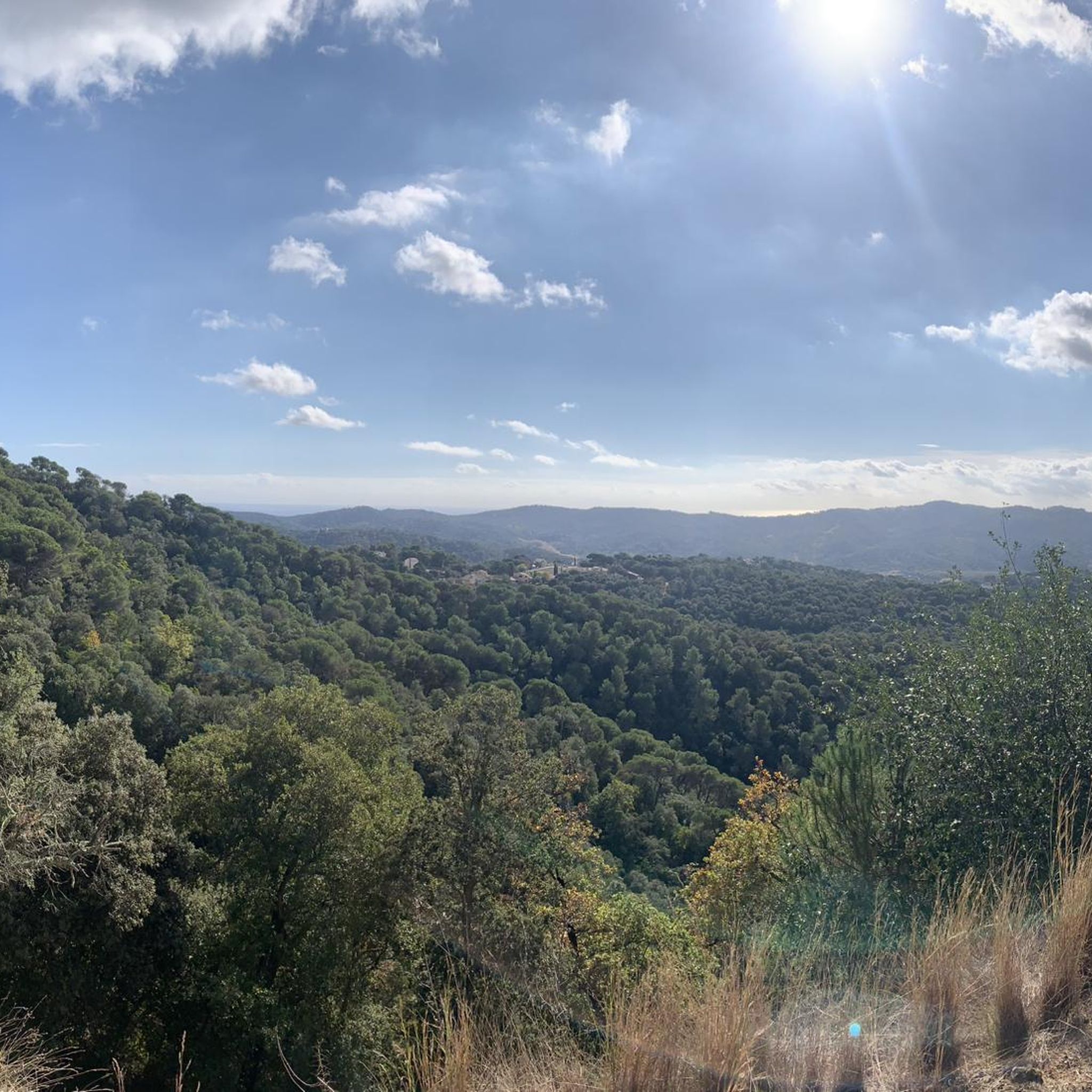
La Creu de Montcabrer (311 meters) is a viewpoint with spectacular views of the sea and mountains. The iron cross that presides over it has a long history of legends related to the towns of Cabrera de Sea and Cabrils.
1
0
From the same hill and in a southerly direction (toward the sea) descends a rocky ridge. There are three caves where various archaeological remains have been found. Looking out to sea from the cross, on the left side and near the summit, there is the Cova dels Tres Cercles. On the right side and at mid-height, the Cau de les Formigues. In the center and at the bottom of the ridge, the Cave of the Good Women. Access to all of them is not easy, as you need to have a minimum of climbing skills and also wear suitable walking shoes.
3
0
Popular belief gives Montcabrer a range of peculiar characteristics such as, for example, that the rocks are magnetized or that smoke has been seen coming out of the stones because there is a volcano below. A legend says that, on an ugly winter day, a goatherd from the Pyrenees who lived in Cabrils died there. The goatherd was well known and loved for his ability to cure illnesses using mountain herbs, and this is where the name Montcabrer comes from.
3
0
On the small esplanade at the top there is a cross: the Santa Creu de Cabrils. The existence of a cross is already recorded in 1565 in a property document that mentions it as a threshold. Later on, we again find information about a cross that was planted in June 1707, in a solemn procession, to appease the rains that were damaging the crops. It was made of teak wood and was 20 spans. Inside was a glass tube with the vicar general's license and some fragments of the relics of the Holy Martyrs of Vilassar de Dalt. In July 1726, during an afternoon summer storm, a bolt of lightning tore it to pieces and scattered the bones of the saints.
4
0

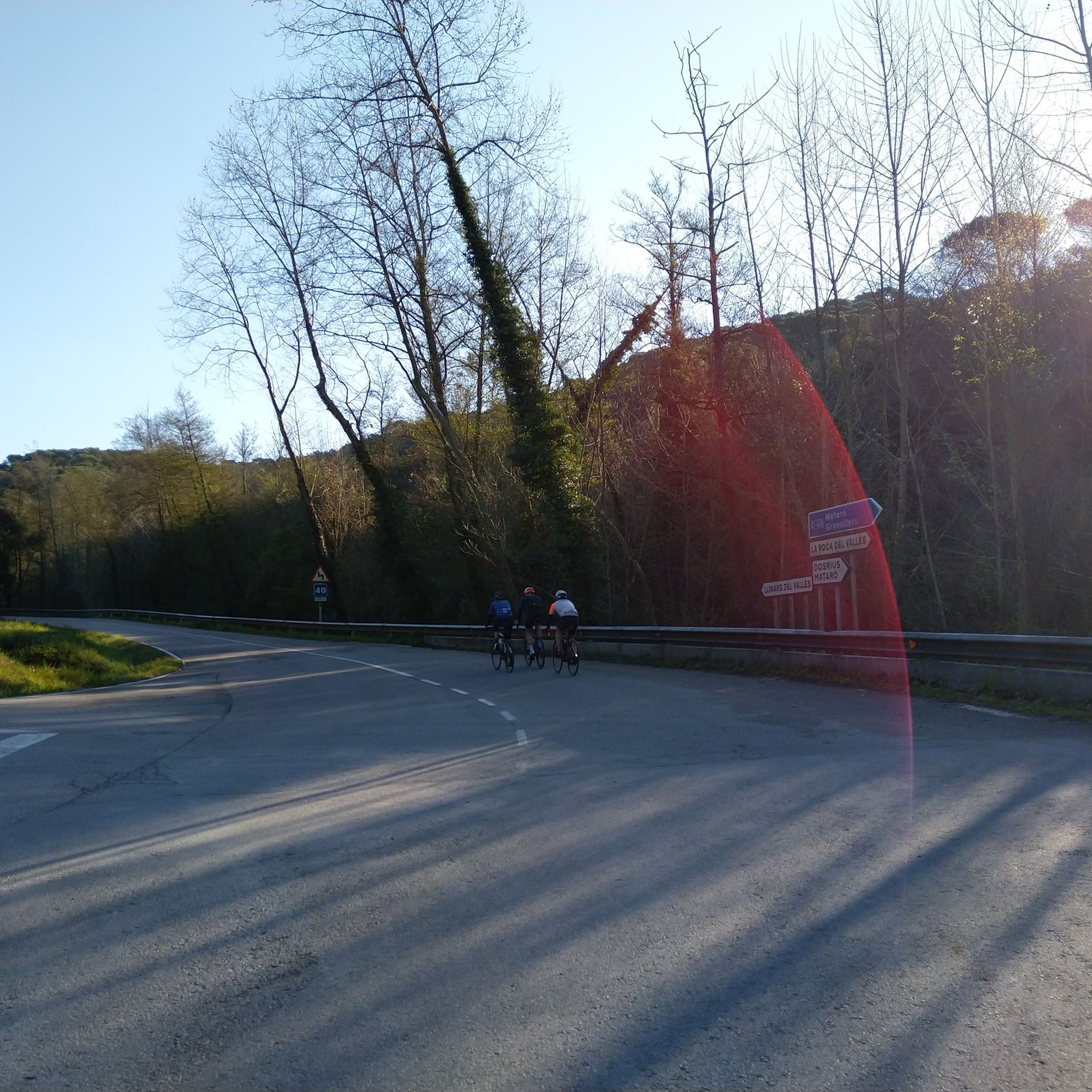
There are four slopes to climb Turó de l'Home. They all share the last 6 km, once you take the detour that takes you to the highest point of the Montseny massif. The slope marked in this section is the toughest (the one that starts in Sant Celoni and passes through Mosqueroles), with almost 25 km and 1,400 m of elevation gain. It is a very challenging pass that rivals the great Alpine passes. The second slope begins at a bridge over the Tordera River, past the villages of Santa Maria de Palautordera and Sant Esteve de Palautordera. This second slope joins the first in the village of Costa del Montseny, from where it is almost 15 km to the summit of Turó de l'Home. The third slope starts in Sant Celoni (like the first) and passes through the village of Campins. At Santa Fe del Montseny, take a detour to the left to Coll de Santa Helena, from where there is only a 1 km descent to the final detour to Turó de l'Home. The fourth slope starts in the province of Girona, specifically from Viladrau, crossing Coll de Gomarra, Coll de Bordiol, Sant Marçal, Santa Fe del Montseny, Coll de Santa Helena, and Turó de l'Home. This is undoubtedly the easiest slope, although its initial section has 2 km of 10% gradients. It is a completely different slope from the previous ones.
0
0

komootモバイルアプリでインスピレーションを得よう


さらに探索
これらのガイドでさらに素晴らしい頂上を見てみましょうドスリウスでの:
