コパンのおすすめウォーキング&ハイキングルート
4.5
(170)
2,440
ハイカー
124
ハイキング
コパン周辺でおすすめのハイキングやウォーキングをお探しですか?コパンが誇るこの美しい湖周辺のルートを集めたkomootコレクションを参考にしてください。 ここでは、コパン周辺の人気ハイキングコースを紹介しています。魅力的なルートが見つかったら、さっそく冒険に出かけましょう。
最終更新日: 10月 11, 2026
5.0
(1)
10
ハイカー
5.29km
01:20
10m
10m
初級者向けハイキング. あらゆるフィットネスレベルに適しています。 進みやすいルートです。あらゆるスキルレベルに適しています。
7
ハイカー
5.08km
01:17
10m
10m
初級者向けハイキング. あらゆるフィットネスレベルに適しています。 進みやすいルートです。あらゆるスキルレベルに適しています。

4.7
(10)
80
ハイカー
12.5km
03:12
40m
40m
中程度のハイキング. ある程度のフィットネスレベルが必要です。 進みやすいルートです。あらゆるスキルレベルに適しています。
4.7
(3)
54
ハイカー
9.21km
02:19
10m
10m
中程度のハイキング. ある程度のフィットネスレベルが必要です。 進みやすいルートです。あらゆるスキルレベルに適しています。
4.0
(4)
14
ハイカー
16.1km
04:04
30m
30m
中程度のハイキング. ある程度のフィットネスレベルが必要です。 進みやすいルートです。あらゆるスキルレベルに適しています。
さらに多くのルートや他のユーザーのおすすめ情報を確認できます。
すでにアカウントをお持ちですか?
おすすめのツアーは他のkomootユーザーが実際に経験した何千ものアクティビティに基づいています。
無料アカウントで今日から始めよう
次の冒険が待っています。
コミュニティからのヒント

The colossal lighthouse in Jarosławiec – its height (over 50 meters) is impressive for such a small town. Originally built in the 19th century, it is now one of the stations monitoring the movement of floating objects in the Baltic Sea.
0
0
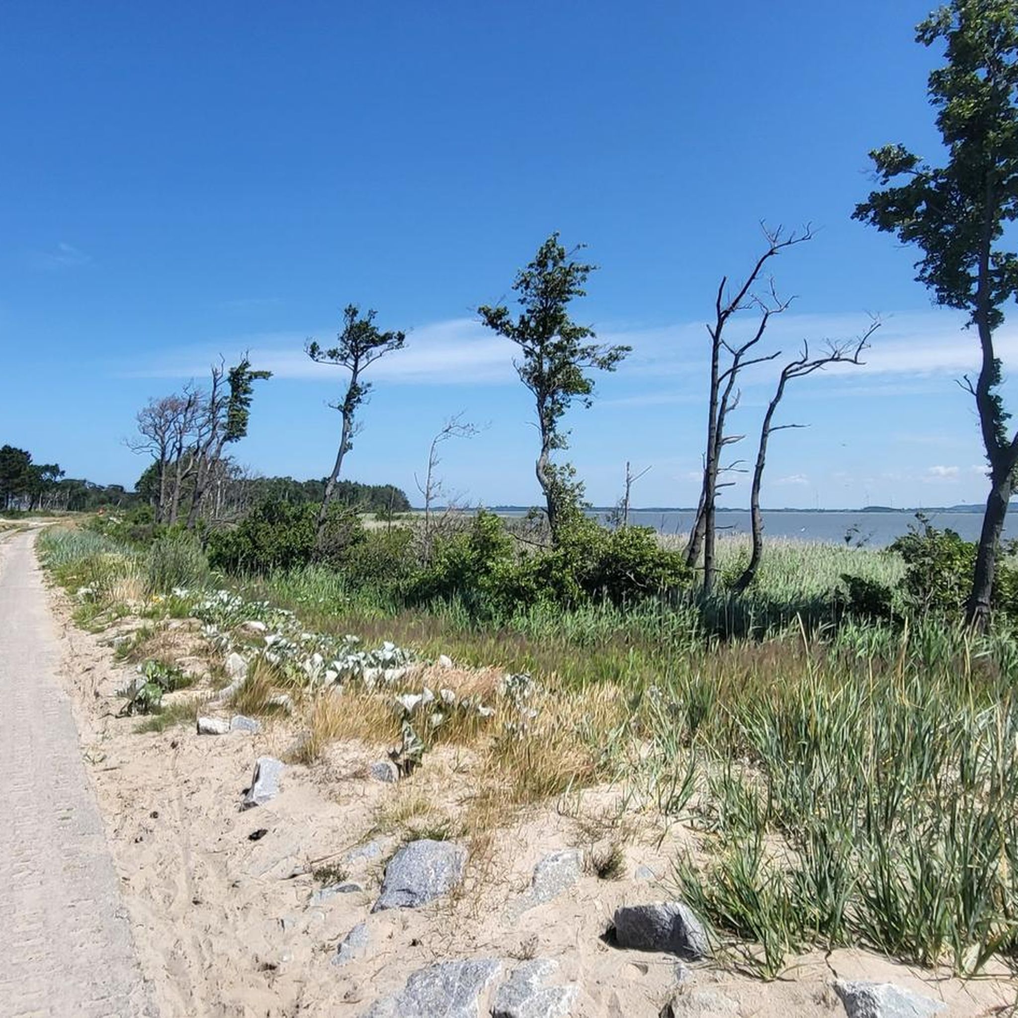
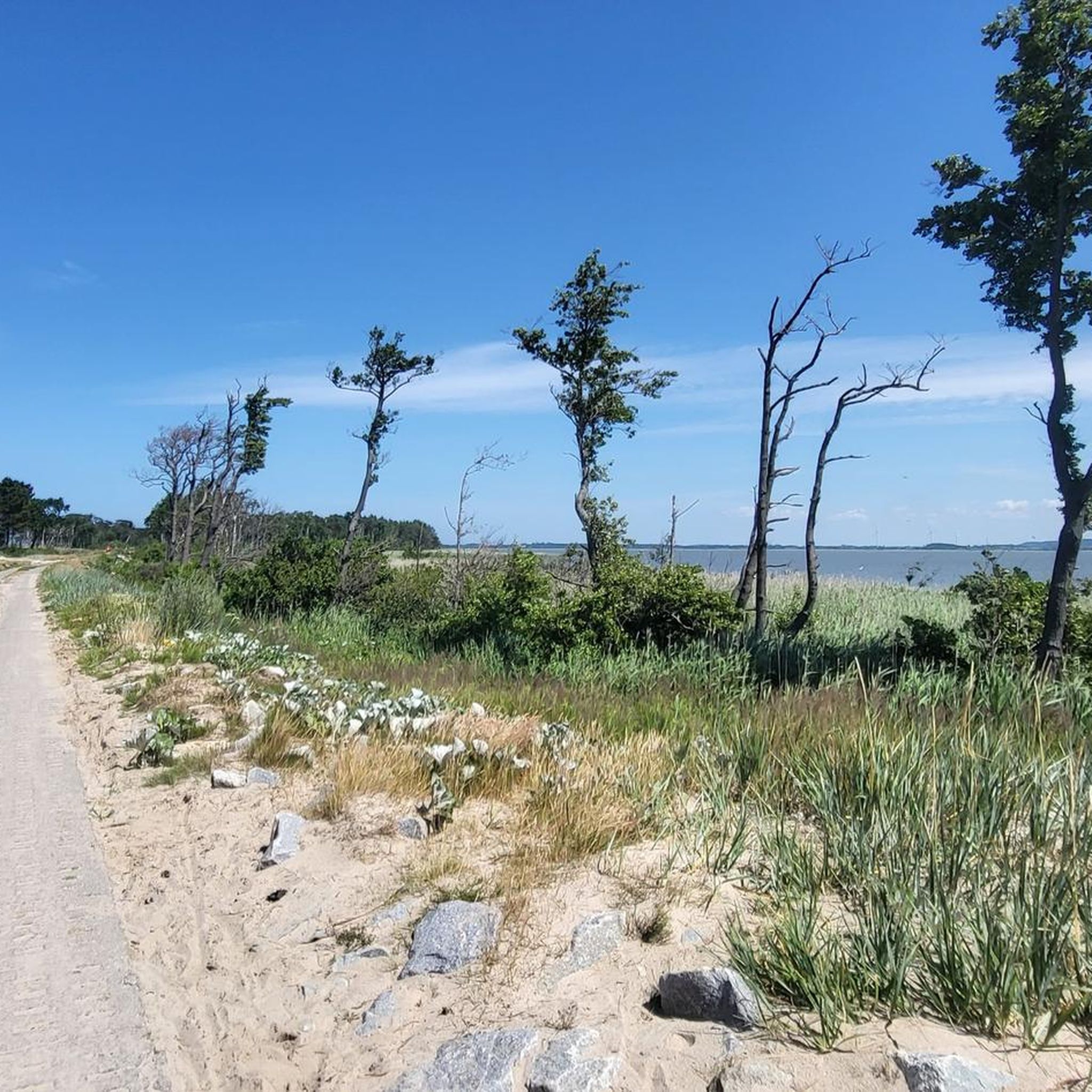
An interesting and charming canal. The Brownowa River connects the Baltic Sea with Lake Kopań. Brownowa isn't always water-free, but it still has a lovely sandy beach, and those tall trees are impressive and add to the charm. There's also a bridge here, but when there's no water, it looks a bit funny.
0
0

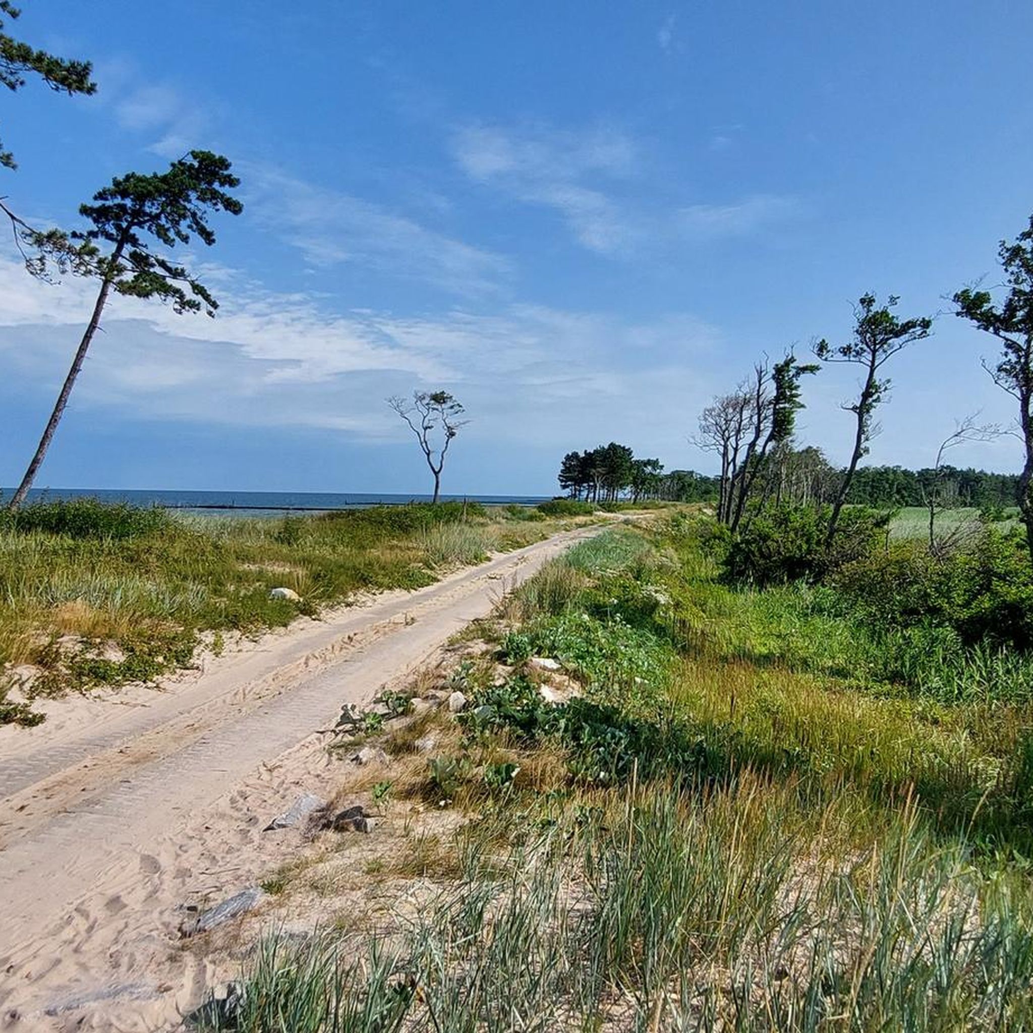
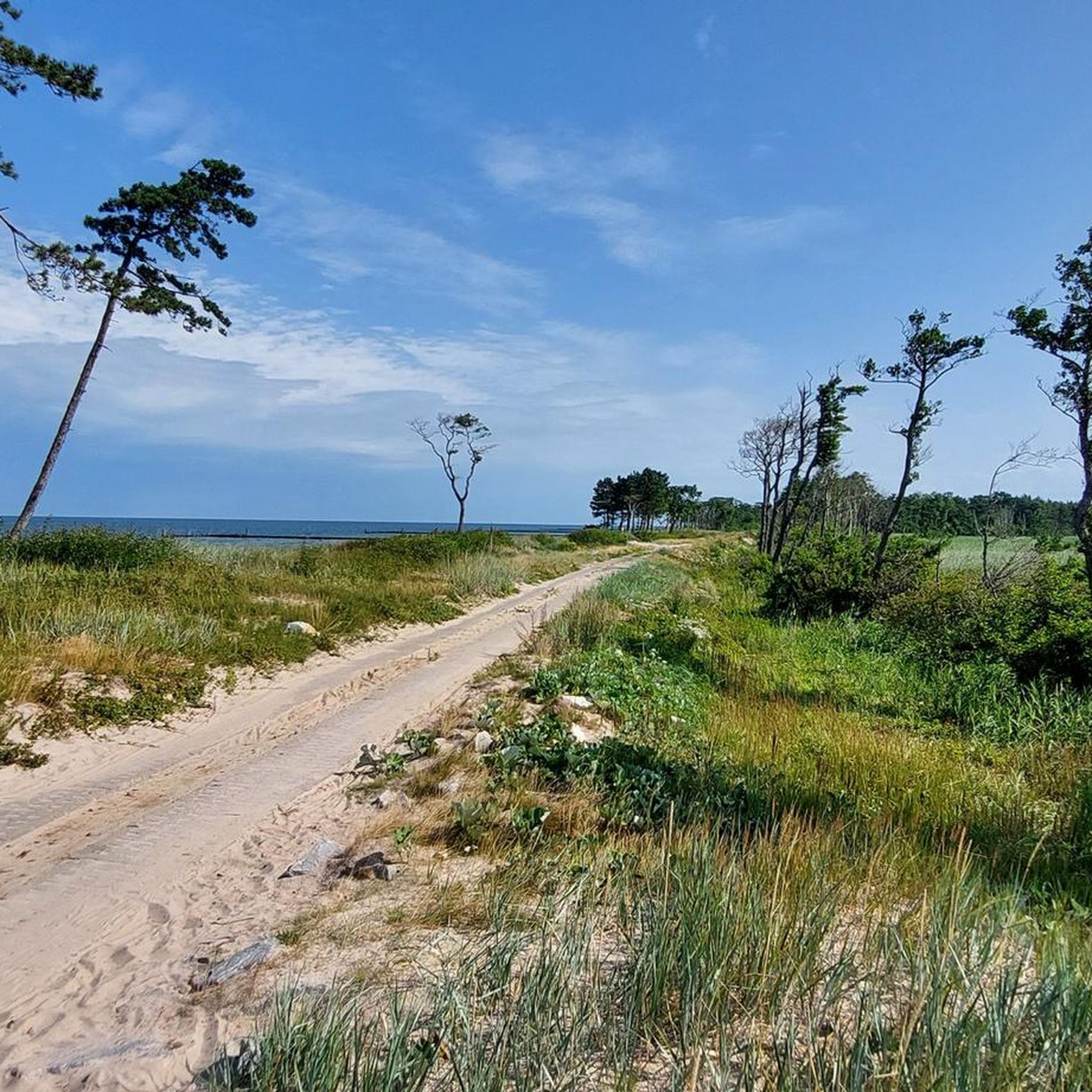
A beach like no other, on the Kopań Spit. In my opinion, one of the prettiest sections on the R10/13 route.
0
0


The lighthouse is open to visitors from 3:00 p.m. to 6:00 p.m.
0
0


An interesting monument in Jarosławiec is the lighthouse. The lighthouse was built of red and glazed brick on a circular plan, each floor is emphasized by a decorative cornice. From the balcony, from a height of 33 meters, there is a view of the sea and two large coastal lakes. The first mention of the need to build a lighthouse in Jarosławiec dates back to 1818. Eleven years later, construction began - far away - 380 m from the sea. In 1838, the lighthouse was opened. In 1993, the lighthouse was entered into the register of monuments. The lighthouse is located in the very center of Jarosławiec, so tourists should have no problems finding it. The lighthouse is open to the public. Practical information: Lighthouse height: 33.3 m Light height: 50.2 m above sea level Light range: 23 NM (42 km)
1
0

komootモバイルアプリでインスピレーションを得よう


さらに探索
他の地域の最高のハイキングを見てみましょう。
