ラペスケラのおすすめウォーキング&ハイキングルート
4.6
(80)
405
ハイカー
23
ハイキング
ラペスケラ周辺でのハイキングは、景色を満喫するのに最適な手段のひとつですが、適切なハイキングルートを見つけることは簡単ではありません。 ラペスケラ周辺の人気ハイキング&ウォーキングコースを参考にすれば、行きたいルートをすぐに見つけられます。
最終更新日: 8月 31, 2026
4.8
(27)
88
ハイカー
5.99km
01:47
190m
190m
Hike the Parque Natural de las Hoces del Cabriel to see Los Cuchillos and Barranco Moluengo, featuring dramatic geological formations.
4.2
(5)
45
ハイカー
6.38km
01:42
60m
60m
Hike the easy 4.0-mile Los Cuchillos del Cabriel Trail to see unique knife-like rock formations and river views in Hoces del Cabriel Natural

無料新規登録
5.0
(1)
2
ハイカー
17.9km
04:56
310m
310m
Hike the moderate 11.1-mile Embalse de Contreras circular route from La Pesquera, featuring Roman roads and reservoir views.
5.0
(1)
2
ハイカー
20.9km
06:15
450m
450m
Hike the difficult 13.0-mile Four Rivers Trail in Monumento Natural Chorreras del Cabriel, gaining 1466 feet over 6 hours.
4.5
(6)
60
ハイカー
中程度のハイキング. ある程度のフィットネスレベルが必要です。 進みやすいルートです。あらゆるスキルレベルに適しています。
さらに多くのルートや他のユーザーのおすすめ情報を確認できます。
無料新規登録
すでにアカウントをお持ちですか?
おすすめのツアーは他のkomootユーザーが実際に経験した何千ものアクティビティに基づいています。
無料アカウントで今日から始めよう
次の冒険が待っています。
ログインまたは登録
コミュニティからのヒント


Walking along paths and roads. The land is also cool!
0
1

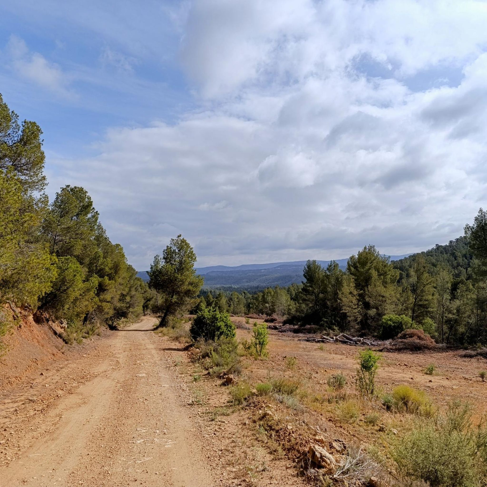
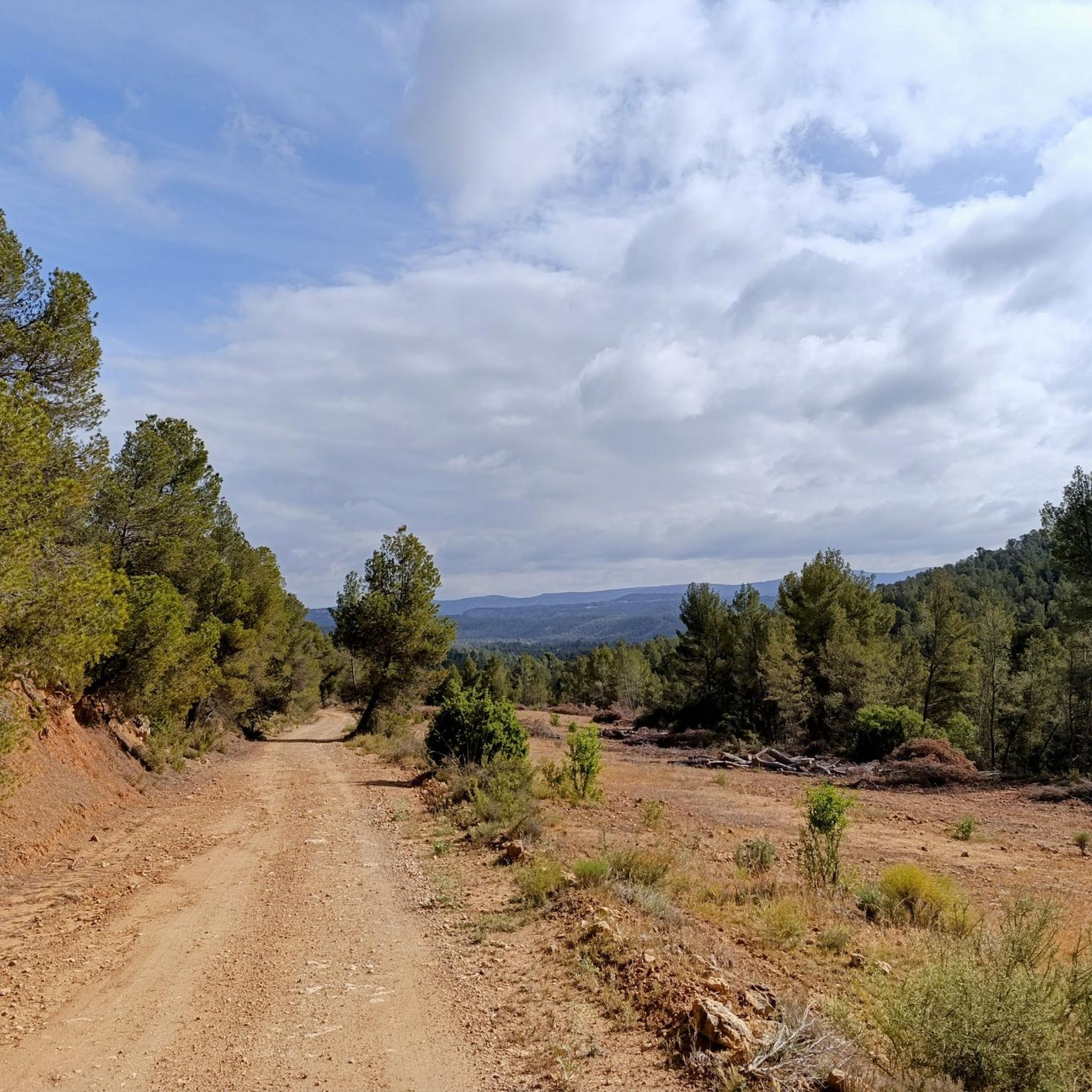
The path that leads there is without technical difficulty and flat, so there is no reason not to go and see this wonderful place.
0
1

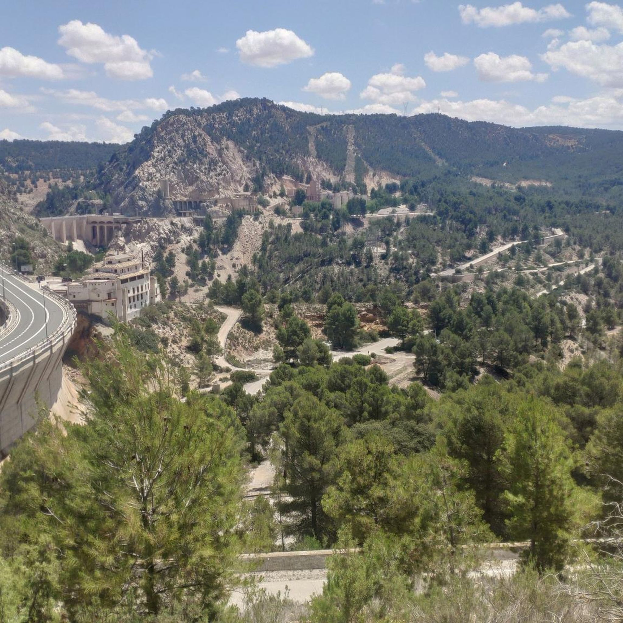
Built in the '70s, it accumulates the waters of the Cabriel and Guadazaón rivers at their confluence upon reaching the limits of the province of Cuenca and Valencia, also the regional border between these two communities.
1
1
Within the Hoces del Cabriel Natural Park are these wonderful and striking rock formations, one of the most visited attractions in the park. Due to its structure and the effects of erosion, peaks that resemble knives were formed, hence the name of the rocky line of Cuchillar de Contreras.
2
0
One of the many panoramic points offered by the Cuatro Ríos trail, in this case with beautiful views of Cabeza Moya flanked by the Cabriel River on its way to the Contreras Reservoir.
3
0
From the town of Enguídanos you can take the marked path PR-CU 54 that takes you through a wonderful landscape crossing the four rivers that converge in these areas, the Cabriel, San Martín, Mira and Narboneta rivers. The Route is about 20 kilometers, although you can take shortcuts in several sectors to shorten the journey.
3
0
ラペスケラでのの人気観光スポット

komootモバイルアプリでインスピレーションを得よう


さらに探索
他の地域の最高のハイキングを見てみましょう。
