ムダのおすすめツーリングルート
4.6
(29)
271
ライダー
44
ライド
Mudá周辺のサイクリングルートは、スペイン、パレンシア県の田園地帯を巡ります。この地域は、アギラール貯水池周辺やピスエルガ川沿いの道など、変化に富んだ地形が特徴です。サイクリストは、田舎道と水域に囲まれた小さな村や自然地域を結ぶルートを期待できます。この地域は、サイクリストに適した、難易度の高いルートと中程度のルートが混在しています。
Mudá周辺の最高のサイクリングルート
- 最も人気のあるサイクリングルートは、モンターニャ・パレンティーナ貯水池ループで、走行距離60.7マイル(97.7 km)、所要時間6時間9分です。この難易度の高いルートは、モンターニャ・パレンティーナ地域を通過する大幅な標高差があります。
- 地元のサイクリストに人気のもう一つのルートは、ピエドラルエンガス峠(セルベラ・デ・ピスエルガ発)で、走行距離32.9マイル(53.0 km)の難易度の高い道です。このルートには、ピエドラルエンガス峠への挑戦的な登りが含まれています。
- 地元のサイクリストは、レケハーダ貯水池ループも気に入っています。このルートは走行距離20.1マイル(32.4 km)で、レケハーダ貯水池周辺の地域を通り抜け、所要時間は約2時間44分です。
- Mudá周辺のサイクリングは、田舎道、村を結ぶ道、アギラール貯水池のような水域の近くを通るルートが特徴です。このネットワークは、中程度から難易度の高いものまで、さまざまなレベルのオプションを提供しています。
- Mudáのルートは、34件以上のレビューから平均4.6つ星という高い評価をkomootコミュニティから受けています。280人以上のサイクリストがkomootを利用してMudáの多様な地形を探索しました。
最終更新日: 10月 15, 2026
2
ライダー
29.5km
02:23
500m
500m
難しい自転車ライド. 標準以上のフィットネスレベルが必要です。 全般的に舗装された状態です。あらゆるスキルレベルに適しています。
27.2km
02:17
340m
340m
難しい自転車ライド. ある程度のフィットネスレベルが必要です。 ツアーの一部で自転車を押して歩く必要があるかもしれません。

12
ライダー
25.5km
01:57
160m
160m
中程度の自転車ライド. ある程度のフィットネスレベルが必要です。 全般的に舗装された状態です。あらゆるスキルレベルに適しています。
5.0
(1)
10
ライダー
60.0km
04:56
890m
890m
難しい自転車ライド. 標準以上のフィットネスレベルが必要です。 ツアーの一部で自転車を押して歩く必要があるかもしれません。
6
ライダー
49.5km
04:02
660m
660m
難しい自転車ライド. 標準以上のフィットネスレベルが必要です。 全般的に舗装された状態です。あらゆるスキルレベルに適しています。
さらに多くのルートや他のユーザーのおすすめ情報を確認できます。
すでにアカウントをお持ちですか?
おすすめのツアーは他のkomootユーザーが実際に経験した何千ものアクティビティに基づいています。
無料アカウントで今日から始めよう
次の冒険が待っています。
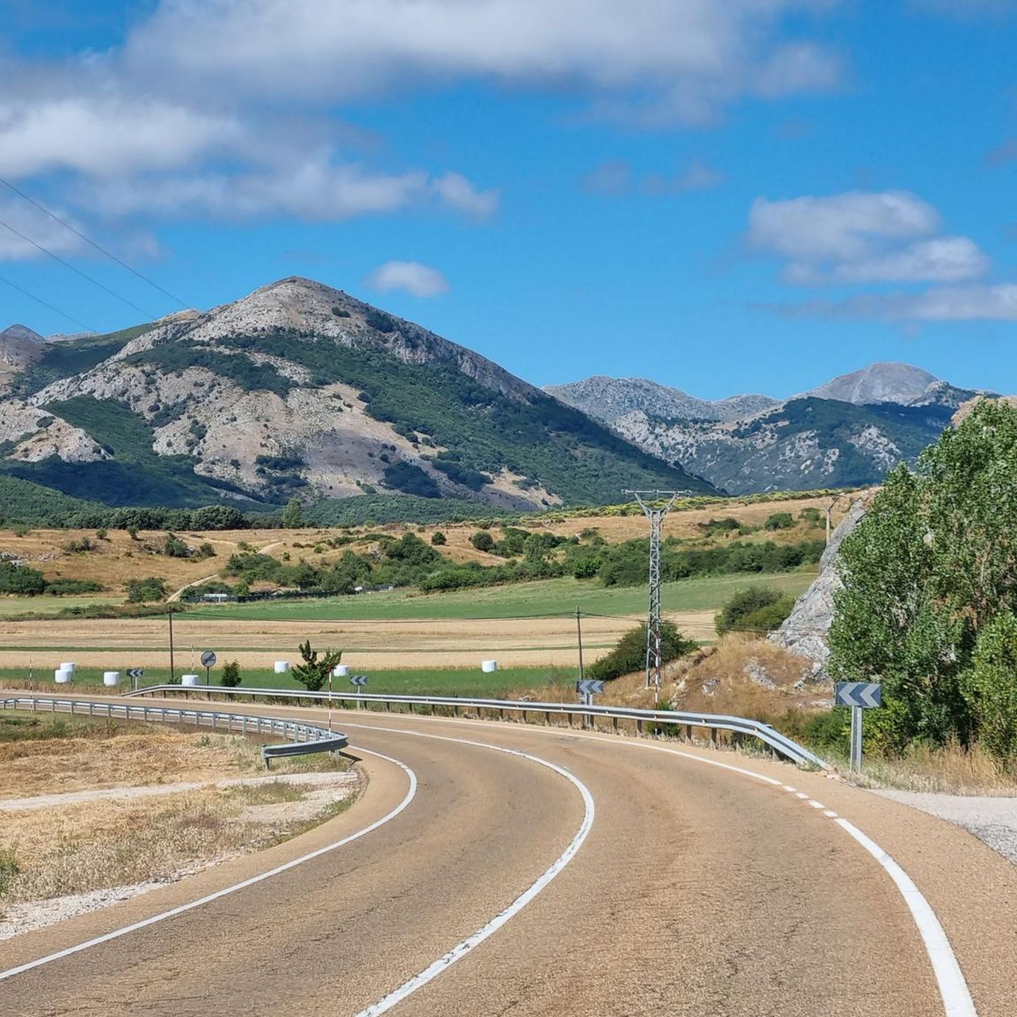
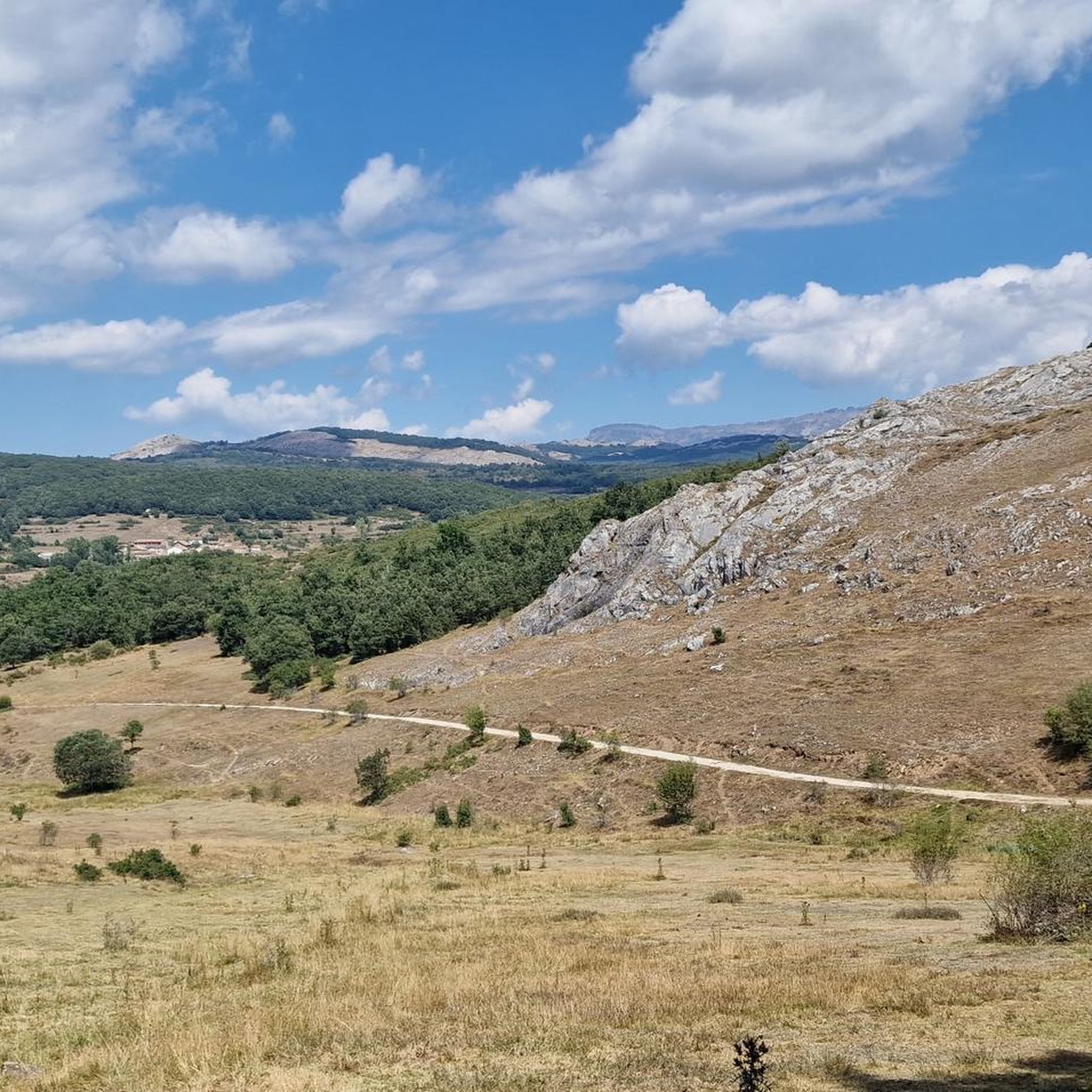
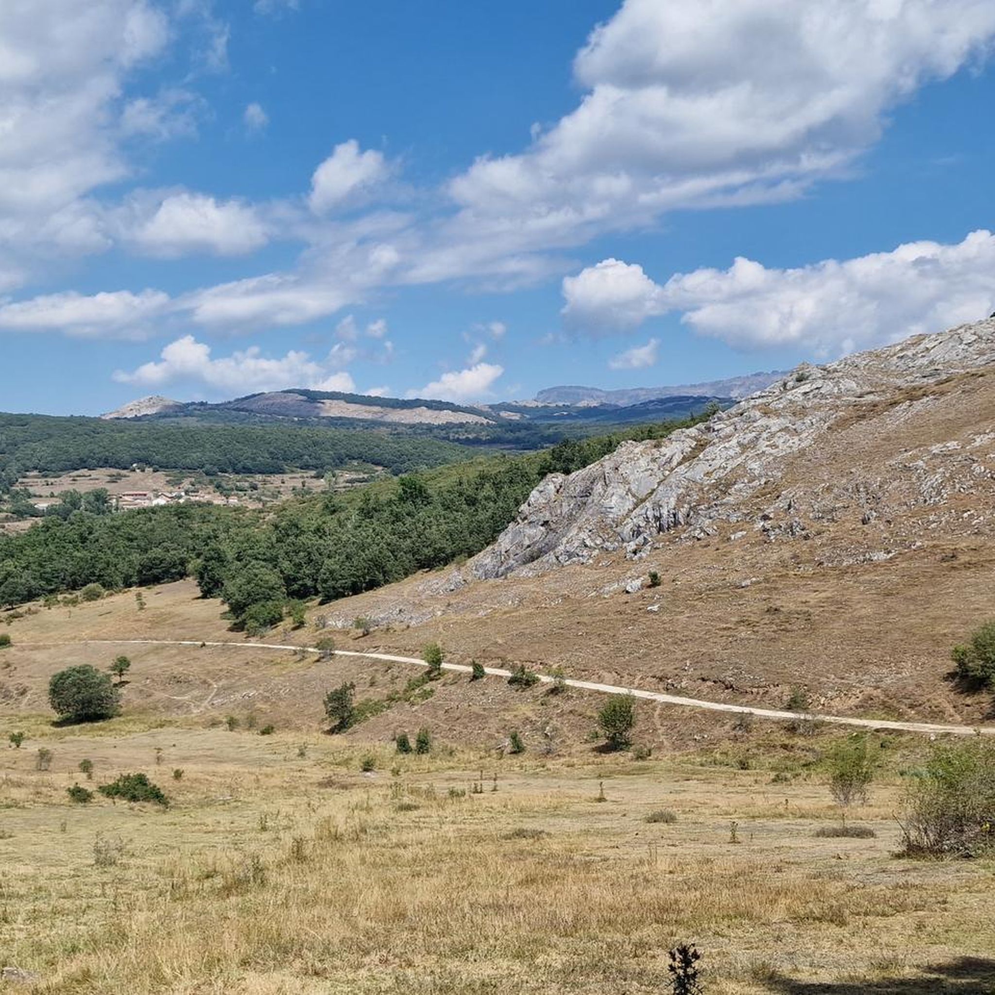
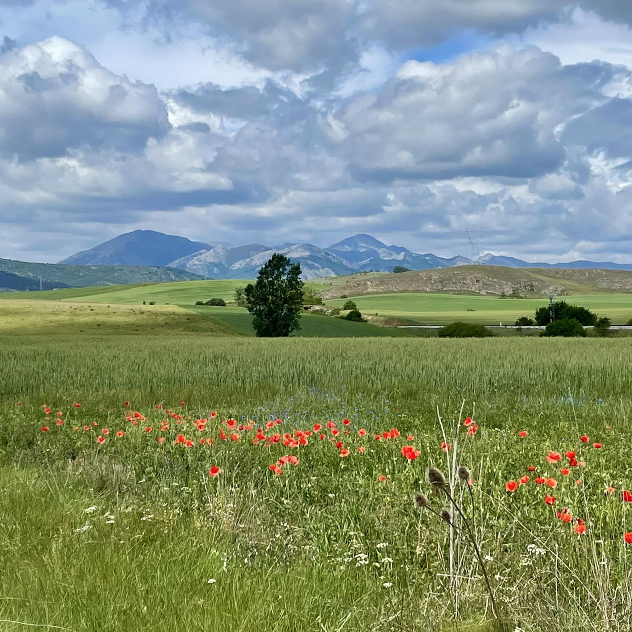

コミュニティからのヒント

パレンシア山脈の玄関口にある、あらゆるサービスが揃った町。文化と自然の両面で、見どころや楽しみがたくさんあります
0
0

セルベラ・デ・ピスエルガ(Cervera de Pisuerga)の美しい木造吊り橋。
0
0

The Bear Trail in Cervera de Pisuerga is a circular hiking route of approximately 11 kilometres. It begins at the San Roque bridge and follows the right bank of the Pisuerga River, passing through the village of Arbejal and reaching the Requejada reservoir.
5
0

How hard would life be in those 8th, 9th and 10th centuries? Hope... a small hermitage dug into a rock and the tomb? as close as possible to the altar, as close as possible to Christ, when the end of the world and the resurrection of the dead arrived. It... overwhelms me.
1
0

The next town is Vallespinoso de Aguilar. The hermitage of Santa Cecilia, immediately standing out on a castle hill, is dated to the 12th century and was declared a historical-artistic monument in 1951. The portico has well-carved capitals and the location conveys the atmosphere of a fortress sanctuary.
0
0

The views from the path are magnificent. In the foreground you can see the town of Vañes and, in the background, the beautiful Requejada reservoir.
1
0
Temple built at the end of the 12th century and beginning of the 13th, it is located on a beautiful hillock, on the outskirts of Barrio de Santa María, near the Aguilar de Campoo reservoir.
2
0
The Church of the Assumption, located in Barrio de Santa María, is an outstanding example of the Romanesque in the Palencia Mountain. Built in the 16th century on the remains of a 12th-century Romanesque church, it preserves elements such as the apse and the nave of the Gospel.
2
0
ムダでのの人気観光スポット

komootモバイルアプリでインスピレーションを得よう


さらに探索
他の地域の最高のサイクリングルートを見てみましょう。
