エスプロンセダのおすすめウォーキング&ハイキングルート
4.5
(194)
1,517
ハイカー
62
ハイキング
エスプロンセダ周辺でのハイキングは、景色を満喫するのに最適な手段のひとつですが、適切なハイキングルートを見つけることは簡単ではありません。 エスプロンセダ周辺の人気ハイキング&ウォーキングコースを参考にすれば、行きたいルートをすぐに見つけられます。
最終更新日: 10月 18, 2026
5.0
(1)
3
ハイカー
6.76km
03:22
710m
720m
中程度のハイキング. ある程度のフィットネスレベルが必要です。 全般的に進みやすいルートです。安定して歩行できる技術が必要です。
5.0
(1)
3
ハイカー
7.48km
02:44
480m
480m
This difficult 4.6-mile circular hike from Nazar offers 1577 feet of elevation gain, panoramic views, and challenging ridge sections.

5.0
(2)
34
ハイカー
9.90km
04:12
730m
720m
中程度のハイキング. ある程度のフィットネスレベルが必要です。 全般的に進みやすいルートです。安定して歩行できる技術が必要です。
4.0
(2)
22
ハイカー
8.15km
03:49
680m
680m
難しいハイキング. ある程度のフィットネスレベルが必要です。 安定して歩行できる技術、丈夫な靴、高標高地での登山経験が必要です。
4.0
(1)
12
ハイカー
11.5km
04:50
800m
800m
難しいハイキング. ある程度のフィットネスレベルが必要です。 安定して歩行できる技術、丈夫な靴、高標高地での登山経験が必要です。
さらに多くのルートや他のユーザーのおすすめ情報を確認できます。
すでにアカウントをお持ちですか?
おすすめのツアーは他のkomootユーザーが実際に経験した何千ものアクティビティに基づいています。
無料アカウントで今日から始めよう
次の冒険が待っています。

コミュニティからのヒント

平均11%の2.5kmの上り坂がある美しい隠れ家
1
0

The trail runs through the beech forest and ends at Joar Peak (1,417 m), the highest point in the Codés mountain range. The summit houses a telecommunications center and antennas of all kinds. There is also the service lane that ascends from Santa Cruz de Campezo, used by mountain bikers. The geodetic vertex is next to the antennas, but the stop is a few meters further on, at the cliffs where the sculptures and the best views are located. The atmosphere is magnificent on both sides. The route returns along the same path and descends again through the beech forest to begin the ascent to La Plana Peak.
0
0
The route follows the red and white GR-1 markings to the plain of La Llana Pass. At several points, other trails appear, but they are shortcuts, variants, or detours to different parts of the mountain range. The path is easy to follow despite the steep slope and the loose stone scree. The trail passes near the impressive limestone tower of Peña de los Cencerros and continues toward the mouth of the two prominent peaks of the mountain range at the entrance to the La Llana plateau. At the GR-1 marker, a path leads off to each side, and the Historic Trail continues straight ahead to Santa Cruz de Campezo. The climb to the summit of Joar begins along the path on the left, first through bushes and then through a welcoming beech forest nestled in the limestone slope of the mountain's north face. These unique forests are isolated near the peaks and are the southernmost beech forests in Navarre.
0
0
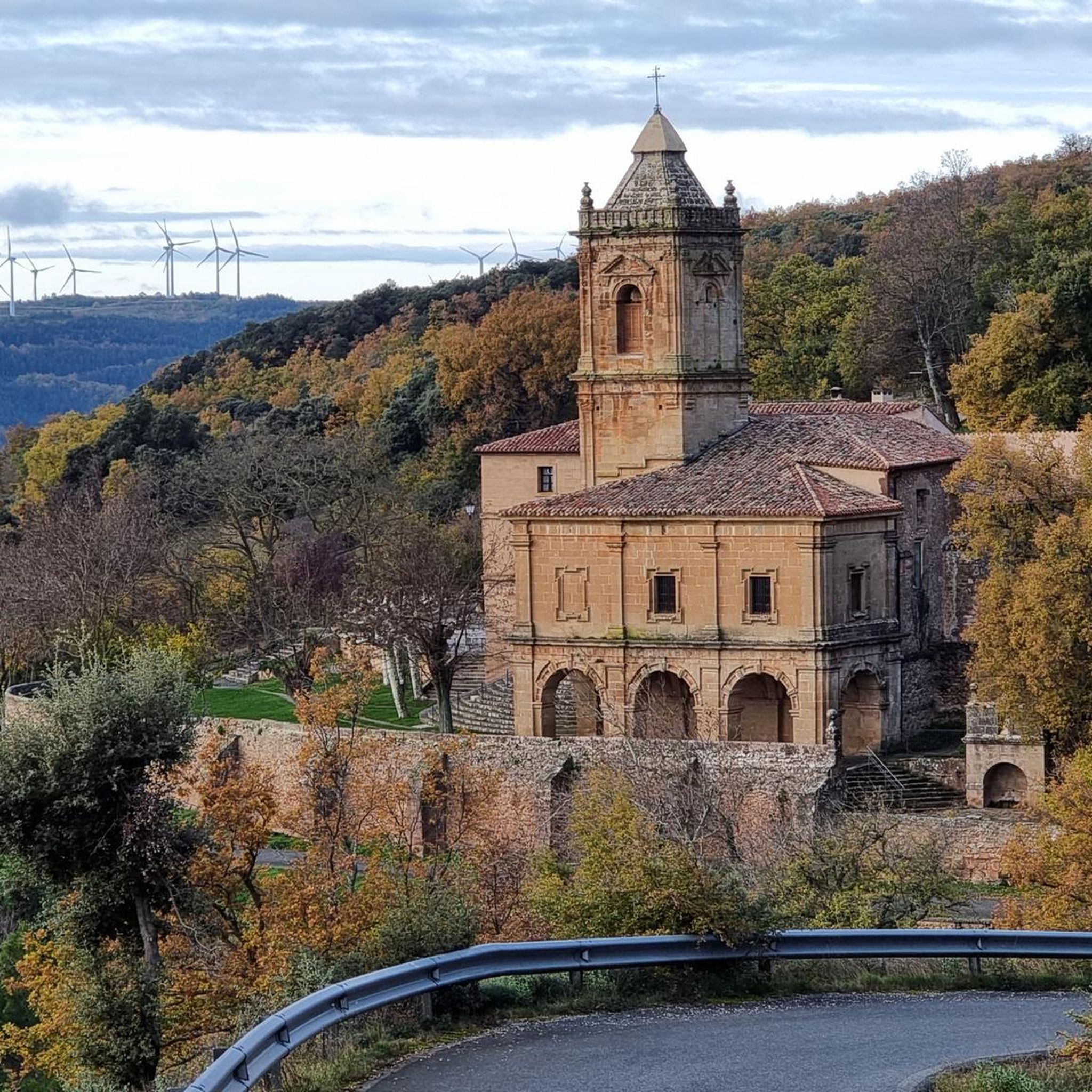
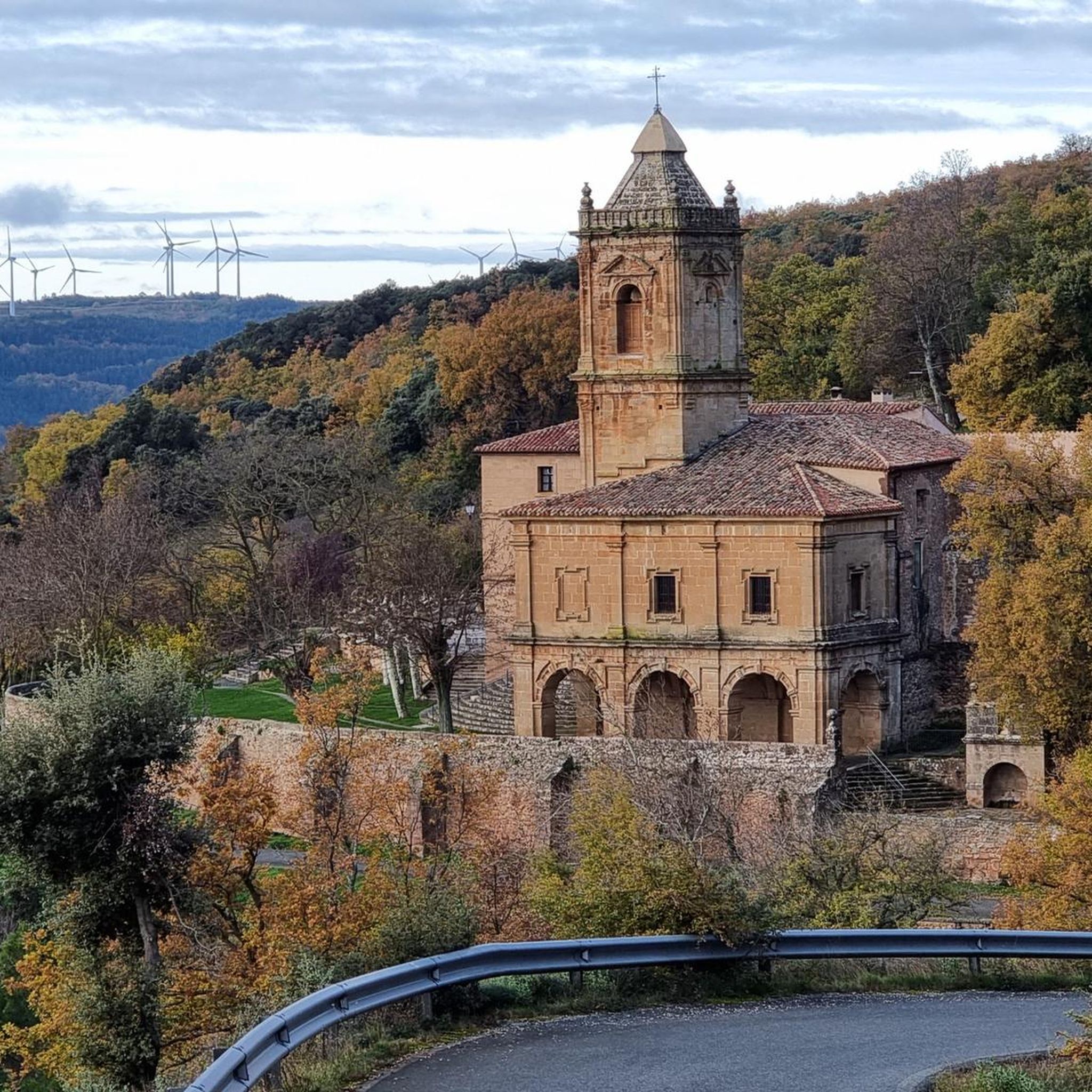
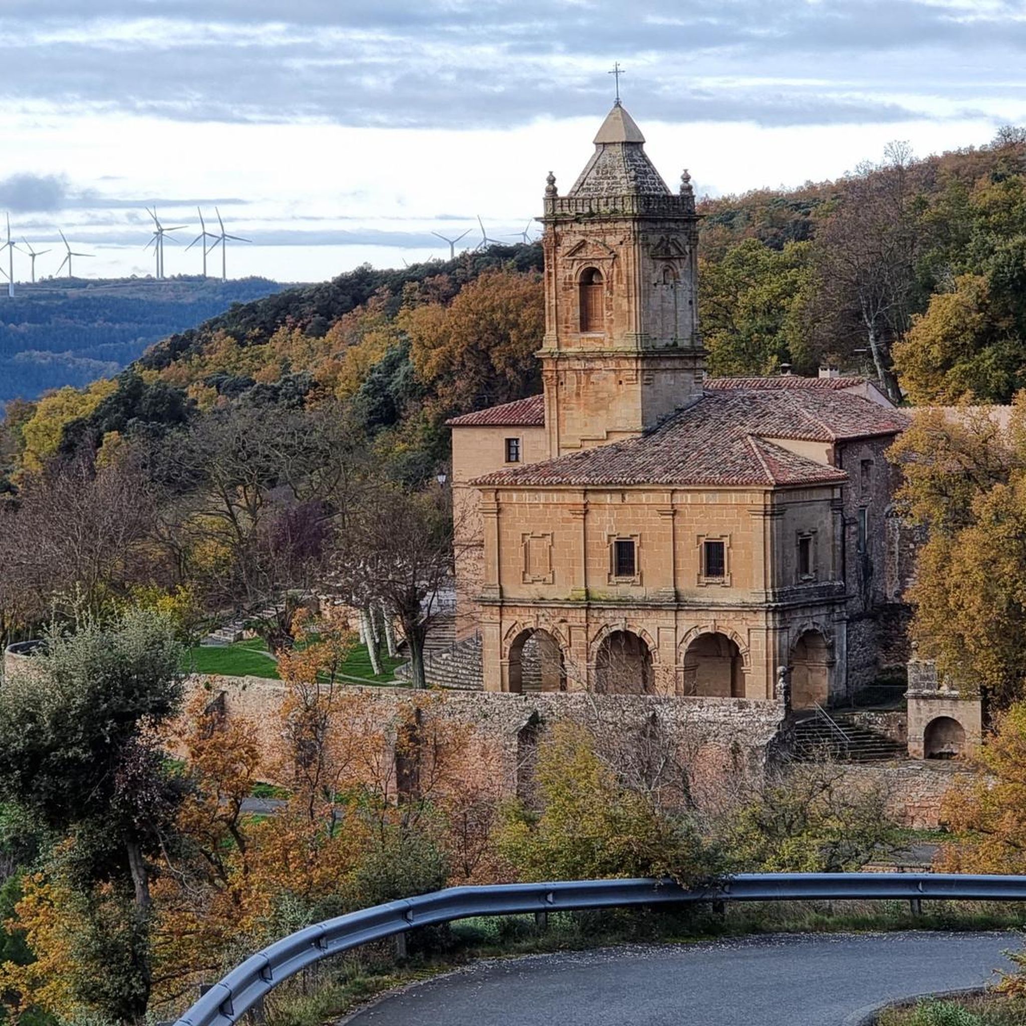
The Sanctuary of the Virgin of Codés is located at the foot of the mountain range. It is a splendid 16th-century building built on the remains of a hermitage. The Baroque tower dates from the 18th century. The holy water fountain is next to the arcades, and there is also a guesthouse and gardens for relaxing and passing the time. The route climbs to the left of the building to a parking lot where signs and signs display the hiking trails. The path continues along the GR-1 long-distance trail, the Historical Trail, to Santa Cruz de Campezo, on the Álava side of the mountain range. The path is quite steep through a tunnel of oak trees, some of which are centuries old and stand out in a disturbing way against the dense forest.
1
0

Dangerous area if wet. There are staples on the wall for easier climbing.
0
0

One of the emblematic peaks of the area, a joy of views.
0
0

Mountain shelter with tables and fireplace. Perfectly cared for and respected
2
0
エスプロンセダでのの人気観光スポット

komootモバイルアプリでインスピレーションを得よう


さらに探索
他の地域の最高のハイキングを見てみましょう。
