ビジャレホデサルバネスのおすすめウォーキング&ハイキングルート
4.5
(32)
201
ハイカー
60
ハイキング
ビジャレホデサルバネス周辺でのハイキングは、景色を満喫するのに最適な手段のひとつですが、適切なハイキングルートを見つけることは簡単ではありません。 ビジャレホデサルバネス周辺の人気ハイキング&ウォーキングコースを参考にすれば、行きたいルートをすぐに見つけられます。
最終更新日: 8月 21, 2026
4.0
(2)
15
ハイカー
15.7km
04:10
150m
150m
中程度のハイキング. ある程度のフィットネスレベルが必要です。 進みやすいルートです。あらゆるスキルレベルに適しています。
5.0
(2)
7
ハイカー
12.5km
03:32
250m
250m
中程度のハイキング. ある程度のフィットネスレベルが必要です。 進みやすいルートです。あらゆるスキルレベルに適しています。

無料新規登録
5.0
(1)
9
ハイカー
7.42km
01:53
20m
20m
初級者向けハイキング. あらゆるフィットネスレベルに適しています。 進みやすいルートです。あらゆるスキルレベルに適しています。
5.0
(2)
7
ハイカー
7.89km
02:17
180m
180m
中程度のハイキング. ある程度のフィットネスレベルが必要です。 進みやすいルートです。あらゆるスキルレベルに適しています。
4
ハイカー
11.4km
02:58
80m
80m
中程度のハイキング. ある程度のフィットネスレベルが必要です。 進みやすいルートです。あらゆるスキルレベルに適しています。
さらに多くのルートや他のユーザーのおすすめ情報を確認できます。
無料新規登録
すでにアカウントをお持ちですか?
おすすめのツアーは他のkomootユーザーが実際に経験した何千ものアクティビティに基づいています。
無料アカウントで今日から始めよう
次の冒険が待っています。
ログインまたは登録

コミュニティからのヒント

Chinchón is one of the most picturesque and distinctive towns in the Community of Madrid. Located about 45 kilometers from the capital, it stands out for its Castilian atmosphere and its history linked to the aristocracy and cinema.
8
0

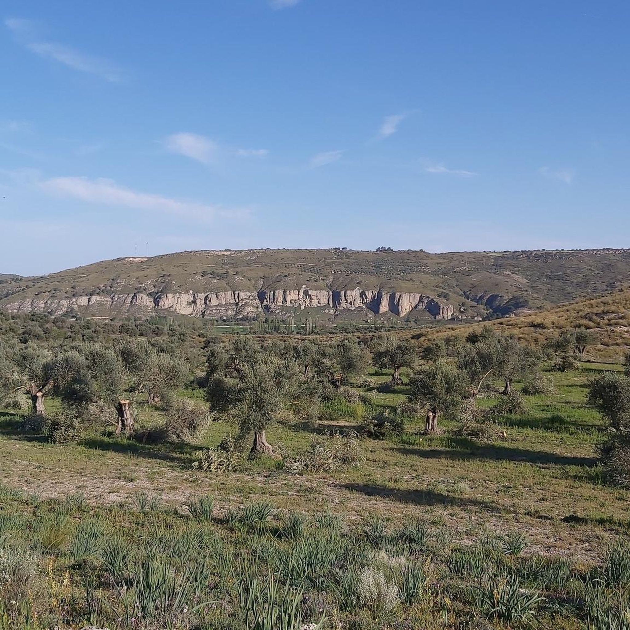
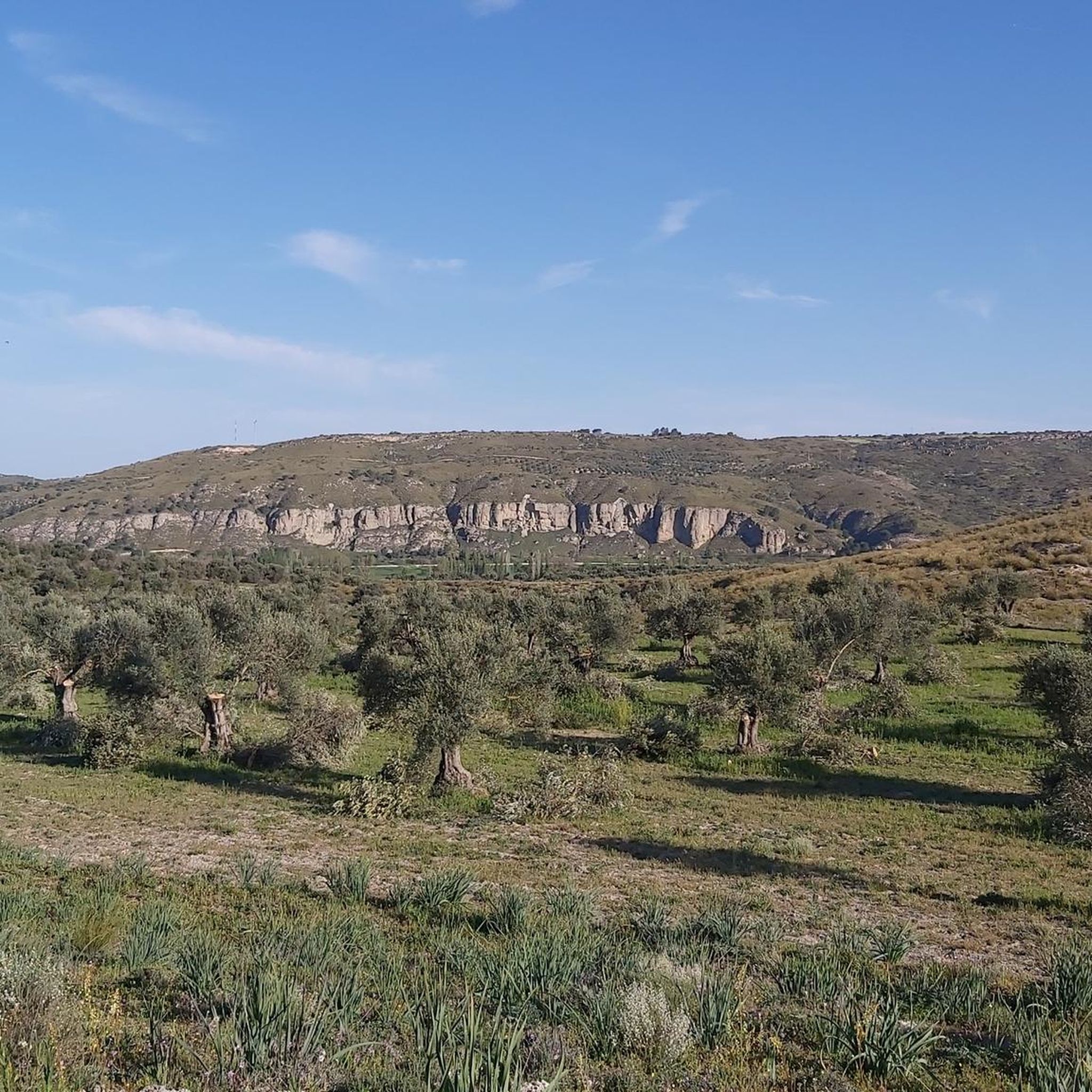
The Las Aguaderas viewpoint is located at a crossroads, taking advantage of a rise in the terrain. It features a pergola, a bench, and an interpretive panel dedicated to the "Las Aguaderas Area," a new section focusing on local customs linked to water and agriculture. The trail turns right and climbs the farm track that descends from the plateau. The initial steep section is impressive, but the climb only lasts a few minutes. The track reaches the edge of the plateau and continues through olive groves, holm oaks, and barren hills to the Camino de los Moledores (Wheelers' Path). The hiking route turns left, and now a steep descent to the valley floor begins.
0
0
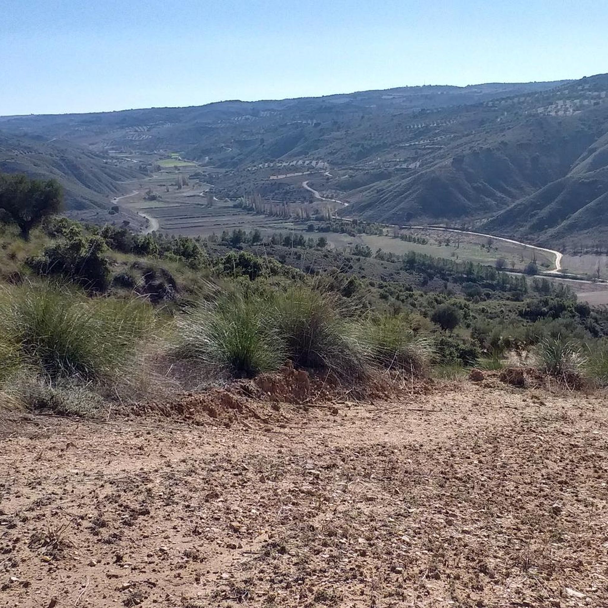
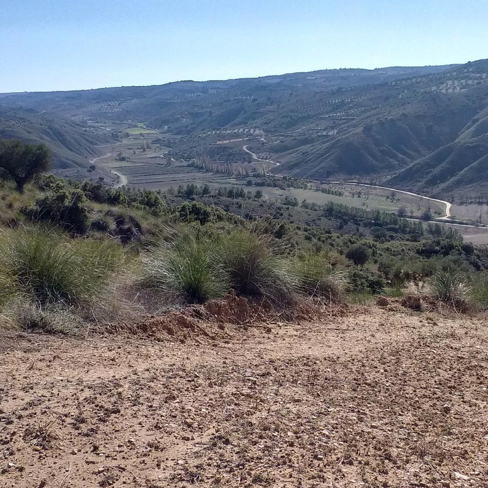
The walk along the hillside is fantastic, a true flight over the meadows, villages, and rural landscapes of the Tajuña River valley. The path runs along the mountainside and passes by the Fuente del Arce (Maple Spring), another of Tielmes' historic springs. It's located at the bottom of a ravine, with a stone wall and a spout with a small basin that is usually dry in summer. Nearby is the Fuente del Sacristán (Sacristan's Spring), somewhat hidden. Shortly after, the bench at the Mirador Vega del Tajuña (Tajuña Valley Viewpoint) appears in a clearing along the path, offering views of Tielmes, the meadow, and the hamlet of Valdilecha at the bottom of the Vega stream valley. The trail continues along the same path and begins the descent to the next viewpoint.
0
0
The sign marking the start of the Tielmes Viewpoints Route is at the junction of the San Isidro Hermitage and the Tajuña Greenway. The first kilometer of the climb is quite steep along a well-maintained rural track. The first viewpoint is nearby; it's called the "Most Beautiful Bench," and it features an interpretive lectern and a bench with the words "Tielmes Is Heart" emblazoned on the back. It faces the town of Tielmes and the Tajuña River valley, making for a pleasant stop after the initial climb. The viewpoint's information panel offers a description of the views entitled "A Landscape Shaped by Water," providing an introduction to the culture of water, the fertile plains, and the orchards of the Las Vegas region of Madrid. The route continues uphill along the Camino del Llano de las Cabras (Goat Plain Path), offering spectacular panoramic views. At the edge of the plateau, at the top of the steep climb, the main path continues straight ahead, while the Viewpoints Route veers off to the left.
0
0

Chinchón is located in the southeast of the Community of Madrid, nestled between the Tajuña and Tajo rivers. It is one of the most visited towns in Madrid; in fact, it appears on the list of the most beautiful towns in Spain. It was also one of the candidate towns to be the Capital of Rural Tourism in 2022. The most visited area is its Plaza Mayor, a porticoed square from the 15th and 16th centuries. Other highlights include the Castle of the Counts of Chinchón, the Lope de Vega Theater, the Clock Tower, the Convent of the Poor Clares, the five hermitages of San Antón, San Roque, Santa Ana, and those of Nuestra Señora del Rosario and Nuestra Señora de la Misericordia.
2
0

Located in the middle of a very steep slope with low-grip gravel, you can stop to admire the scenery and reflect on life in general...
0
0
A small town near Madrid that is worth visiting to stroll through its streets and enjoy its typical cuisine. Its main attraction is its Plaza Mayor, an example of the architecture of Castilian porticoed squares - with 234 balconies - and where most of the restaurants are concentrated. But it is worth strolling through its streets, going up to see the Church of Nuestra Señora de la Asunción, where we can see Goya's painting "The Assumption of the Virgin". In addition, in front of the church there is a viewing point from which there are excellent views of the Plaza Mayor and the entire town. There is also the Clock Tower and the Lope de Vega Theatre, all just a few metres away. Other places of interest are the Parador de Chinchón, a former Augustinian convent; the Castle of the Counts of Chinchón, the Casa de la Cadena, the hermitages of San Antón and San Roque.
0
0
ビジャレホデサルバネスでのの人気観光スポット

komootモバイルアプリでインスピレーションを得よう


さらに探索
他の地域の最高のハイキングを見てみましょう。
