コセンタイナのおすすめランニングルート
4.6
(12)
622
ランナー
20
ランニング
コセンタイナでランニングを楽しめば、このエリアをより深く知ることができます。ランニングに適した美しいルートが見つかるように、komootがコセンタイナでのルートのコレクション全体を評価して選び抜いた、人気ランニングトレイルをご紹介します。ルートをクリックして詳細を表示し、他のユーザーがアップロードした役立つ情報や写真を閲覧しましょう。
最終更新日: 9月 5, 2026
5.0
(1)
87
ランナー
61.6km
09:02
2,390m
2,390m
難しいジョギング. 標準以上のフィットネスレベルが必要です。 安定して歩行できる技術、丈夫な靴、高標高地での登山経験が必要です。
39
ランナー
18.3km
03:09
960m
960m
難しいジョギング. 標準以上のフィットネスレベルが必要です。 安定して歩行できる技術、丈夫な靴、高標高地での登山経験が必要です。

無料新規登録
5.0
(1)
36
ランナー
16.1km
02:58
1,030m
1,040m
難しいジョギング. 標準以上のフィットネスレベルが必要です。 安定して歩行できる技術、丈夫な靴、高標高地での登山経験が必要です。
38
ランナー
24.5km
04:30
1,520m
1,520m
難しいジョギング. 標準以上のフィットネスレベルが必要です。 安定して歩行できる技術、丈夫な靴、高標高地での登山経験が必要です。
12
ランナー
14.9km
02:14
620m
620m
難しいジョギング. 標準以上のフィットネスレベルが必要です。 安定して歩行できる技術、丈夫な靴、高標高地での登山経験が必要です。
さらに多くのルートや他のユーザーのおすすめ情報を確認できます。
無料新規登録
すでにアカウントをお持ちですか?
おすすめのツアーは他のkomootユーザーが実際に経験した何千ものアクティビティに基づいています。
無料アカウントで今日から始めよう
次の冒険が待っています。
ログインまたは登録
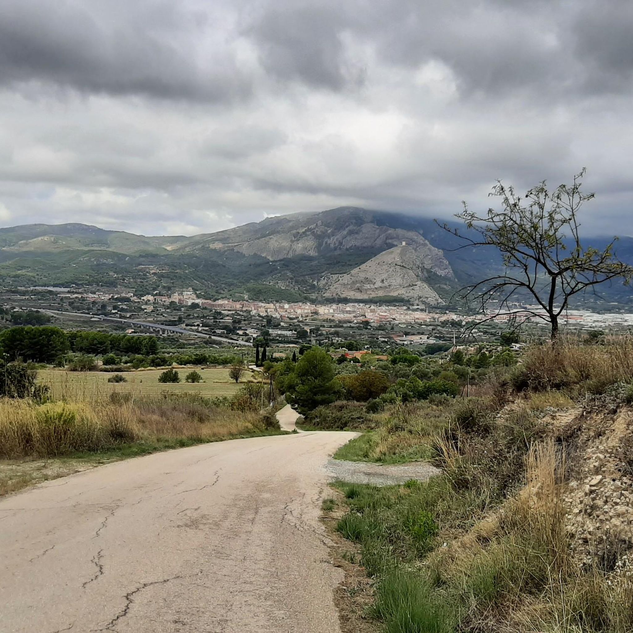
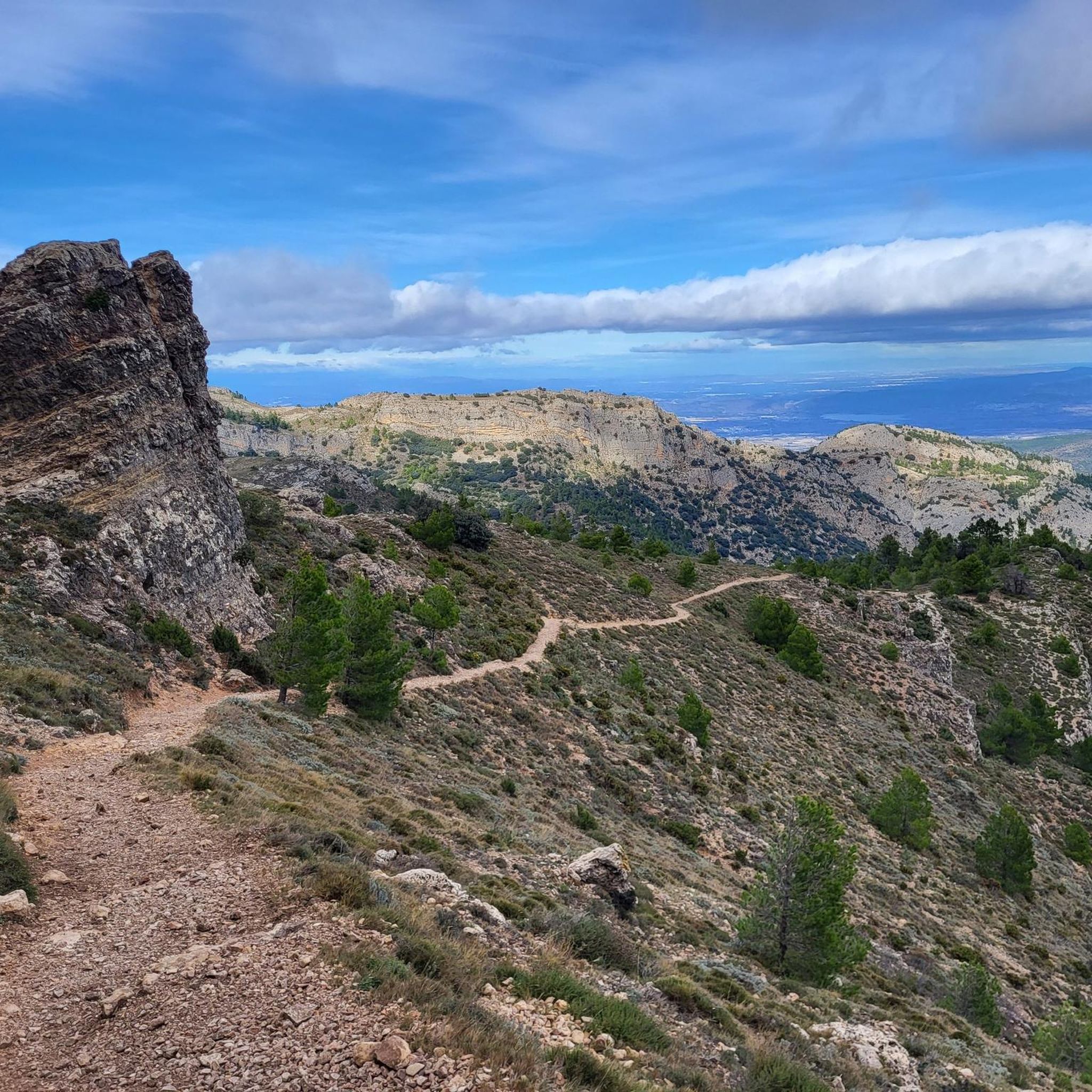
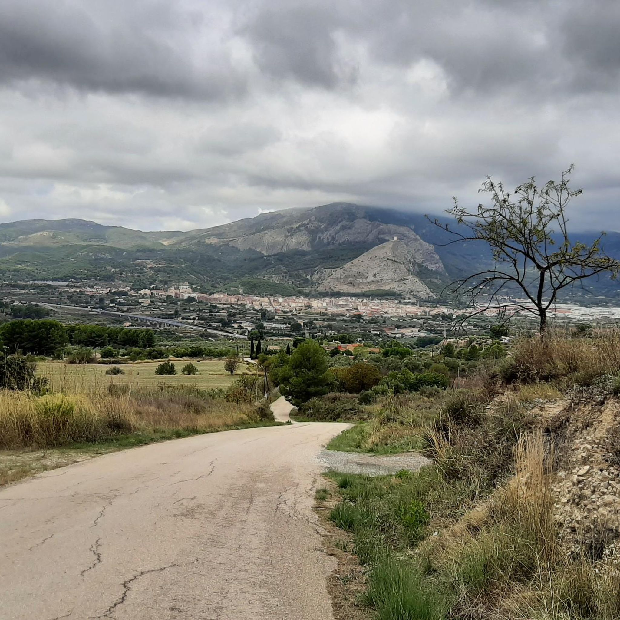

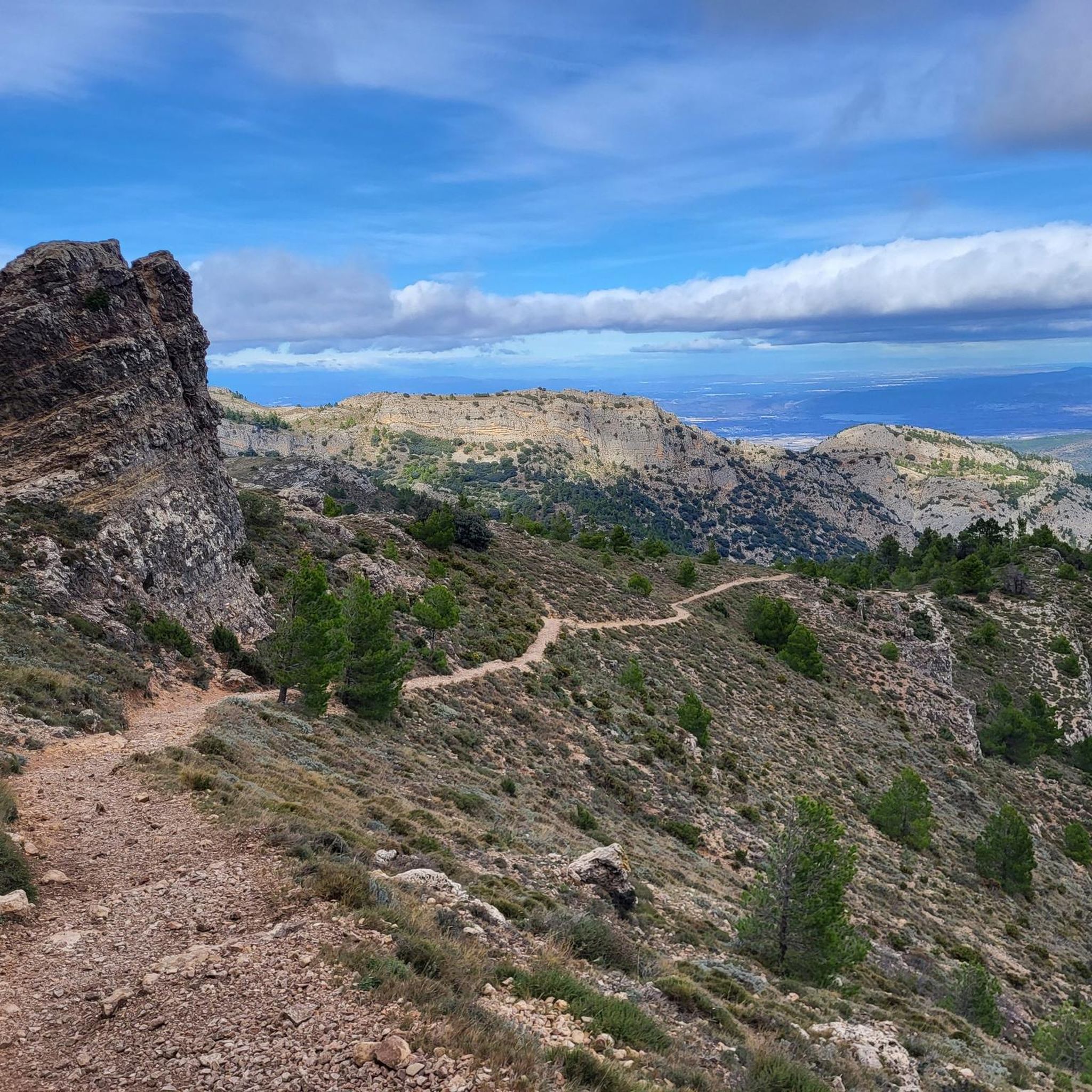
コミュニティからのヒント


Beautifully developed gorge. The GR7 hiking trail goes through here.
3
0

Climb to Montcabrer from the Hermitage of Sant Cristòfol. On this occasion, we have chosen to use paths less traveled and away from the normal route. For the climb we have turned left to pass by the Font de l'Heura and the Morales cross, but, inevitably, in some sections of the climb we coincide with said "main" route. Once at the top, for the descent we chose to pass through the Penyes Monteses and continue along the path that runs first on one side of the ridge (north or ombré face with abundant vegetation), to then pass to the other side of the ridge ( south or sunny face with little or no vegetation and a lot of rock). Spectacular route in every sense, demanding on the way up, unforgettable places, impressive views and technical areas on the way down. A true enjoyment of the route.
0
0

The Barranco del Cint, an impressive corner in the city of Alcoy, is part of the majestic Sierra de Mariola. It is located northwest of Alcoy and has a peculiar V shape at its entrance, which some believe gave it its name.
7
1

Hermitage with a viewpoint towards the city and the valley. It has parking and a picnic area. From here you can connect with several paths in the Mariola mountain range.
1
0

The 13th century castle crowns the hill of San Cristóbal and draws attention for its outstanding military Valencian Gothic style. If you go by bike you have to leave it in the parking lot and go up the narrow path on foot. The panoramas you get are from film.
3
0

Very fresh water source. Ideal for cooling off on hot days.
0
0

komootモバイルアプリでインスピレーションを得よう


さらに探索
他の地域の最高のランニングトレイル & ルートを見てみましょう。
