アリカンテのおすすめランニングルート
4.4
(1281)
90,664
ランナー
3,383
ランニング
アリカンテでランニングを楽しめば、このエリアをより深く知ることができます。ランニングに適した美しいルートが見つかるように、komootがアリカンテでのルートのコレクション全体を評価して選び抜いた、人気ランニングトレイルをご紹介します。ルートをクリックして詳細を表示し、他のユーザーがアップロードした役立つ情報や写真を閲覧しましょう。
最終更新日: 10月 10, 2026
4.9
(9)
587
ランナー
9.06km
00:56
50m
50m
中程度のジョギング. ある程度のフィットネスレベルが必要です。 全般的に舗装された状態です。あらゆるスキルレベルに適しています。
5.0
(1)
202
ランナー
8.89km
01:21
300m
300m
難しいジョギング. 標準以上のフィットネスレベルが必要です。 安定して歩行できる技術、丈夫な靴、高標高地での登山経験が必要です。

5.0
(1)
190
ランナー
16.0km
02:48
990m
990m
難しいジョギング. 標準以上のフィットネスレベルが必要です。 安定して歩行できる技術、丈夫な靴、高標高地での登山経験が必要です。
194
ランナー
9.36km
01:39
400m
400m
難しいジョギング. 標準以上のフィットネスレベルが必要です。 安定して歩行できる技術、丈夫な靴、高標高地での登山経験が必要です。
4.3
(3)
128
ランナー
12.9km
02:23
730m
730m
難しいジョギング. 標準以上のフィットネスレベルが必要です。 安定して歩行できる技術、丈夫な靴、高標高地での登山経験が必要です。
4.8
(4)
131
ランナー
9.42km
01:01
170m
170m
中程度のジョギング. ある程度のフィットネスレベルが必要です。 全般的に舗装された状態です。あらゆるスキルレベルに適しています。
4.5
(4)
49
ランナー
10.2km
01:22
330m
330m
難しいジョギング. 標準以上のフィットネスレベルが必要です。 安定して歩行できる技術、丈夫な靴、高標高地での登山経験が必要です。
3.3
(3)
65
ランナー
17.1km
01:56
40m
30m
難しいジョギング. 標準以上のフィットネスレベルが必要です。 全般的に進みやすいルートです。一部で、安定して歩行できる技術が必要です。
5.0
(1)
35
ランナー
17.7km
02:29
730m
730m
難しいジョギング. 標準以上のフィットネスレベルが必要です。 安定して歩行できる技術、丈夫な靴、高標高地での登山経験が必要です。
31
ランナー
13.0km
02:16
670m
670m
難しいジョギング. 標準以上のフィットネスレベルが必要です。 安定して歩行できる技術、丈夫な靴、高標高地での登山経験が必要です。
さらに多くのルートや他のユーザーのおすすめ情報を確認できます。
すでにアカウントをお持ちですか?
おすすめのツアーは他のkomootユーザーが実際に経験した何千ものアクティビティに基づいています。
無料アカウントで今日から始めよう
次の冒険が待っています。


アリカンテでのの他の冒険


コミュニティからのヒント

とても美しいですが、難易度に関しては、コメントで頂上が楽観的に描かれすぎていることに注意してください。頂上は間違いなく赤(=難しい)です。つまり、30分間よじ登ることになります。登りも下りも30分ずつです。それ以外は素晴らしいです。
0
0

Las Rotas Beach (Dénia) is a collection of pristine rocky coves within a Marine Reserve. Its crystal-clear waters and unspoiled surroundings make it a prime spot for snorkeling and coastal hiking.
4
0

There's some climbing ahead, so be careful of the wet rocks. Hiking boots are a must.
3
0

On this side of Denia, there are some small beaches, but they're less accessible and have a lot of aquatic plants. (On the other side of Denia, there are large, clean beaches.)
11
0

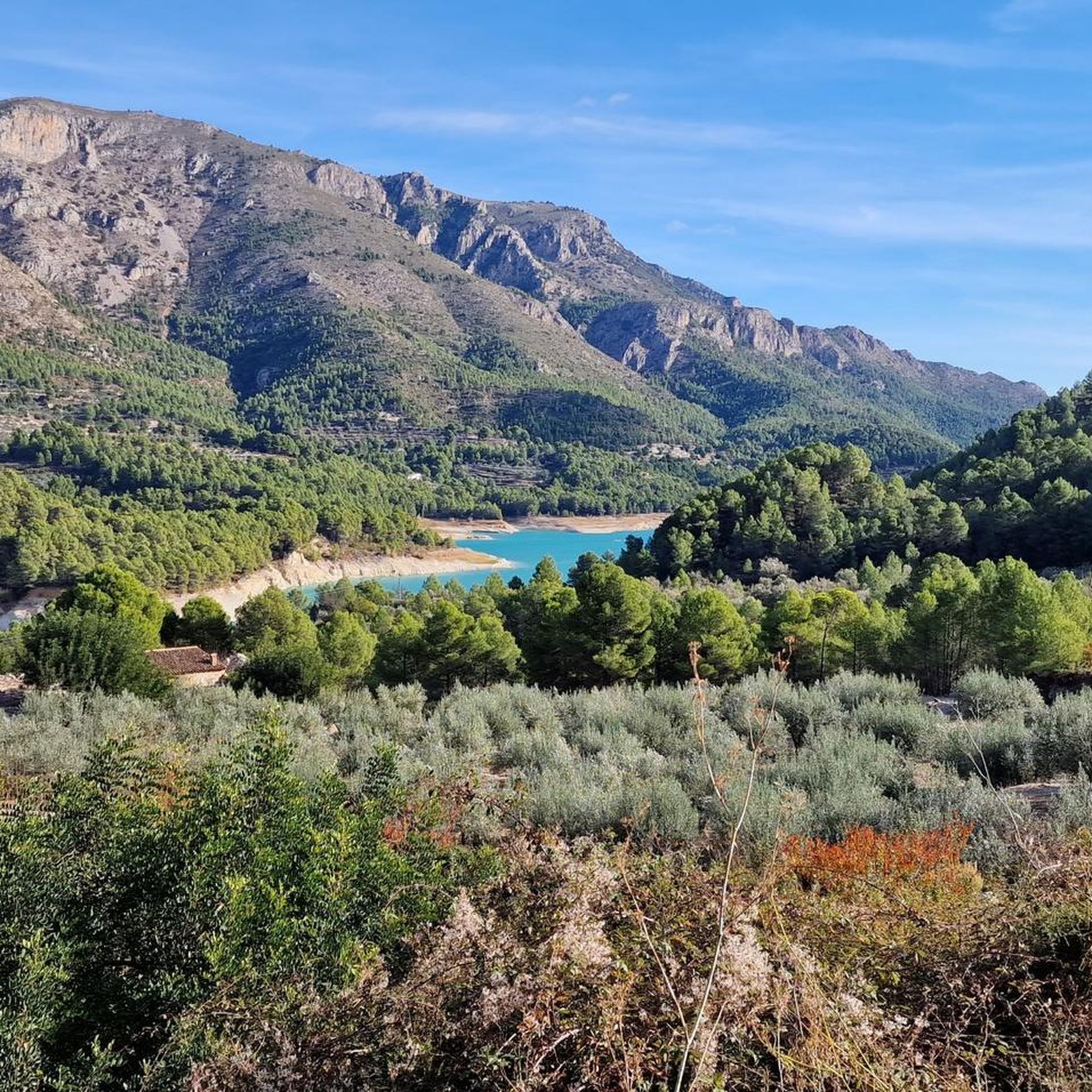
Good paved road, moderate traffic. Views of the reservoir, the Aitana and Serrella mountain ranges, and villages like Beniardà and Benimantell.
6
0

An approximately 1 km long area within the Sierra Segaria, which contains various caves - the Cova Fosca is of course the largest, most famous, and most spectacular!
1
0
The summit of Peñón de Ifach is 332 meters above sea level. To reach the top, follow the Red Route of the Peñón de Ifach Natural Park. This route begins at the visitor center and passes through a tunnel before reaching the summit. The hike is challenging, especially after the tunnel, where the terrain becomes steeper and more slippery. Hands are required for support in some places, as is appropriate footwear. The views from the summit are spectacular, offering panoramic views of the Mediterranean Sea and the Calpe coast.
11
0
The Carabiners Lookout in Calpe is one of the most spectacular spots in the Peñón de Ifach Natural Park. This viewpoint offers stunning views of the city, the sea, and the surrounding mountains. Reaching the lookout requires a hike that can be challenging, especially in the steeper and rockier sections. It's important to wear appropriate footwear and bring water, as there are no facilities along the way. The route includes a tunnel with chains to assist with the climb, and some areas can be slippery, especially when it rains.
6
0

komootモバイルアプリでインスピレーションを得よう


探していたものは見つかりませんでしたか?
アリカンテの下にある他のランニングトレイル & ルートをチェックして、目的地で完璧なルートを見つけましょう。
さらに探索
他の地域の最高のランニングトレイル & ルートを見てみましょう。
