シュイットウォーターのおすすめランニングルート
4.3
(280)
7,713
ランナー
712
ランニング
シュイットウォーターでランニングを楽しめば、このエリアをより深く知ることができます。ランニングに適した美しいルートが見つかるように、komootがシュイットウォーターでのルートのコレクション全体を評価して選び抜いた、人気ランニングトレイルをご紹介します。ルートをクリックして詳細を表示し、他のユーザーがアップロードした役立つ情報や写真を閲覧しましょう。
最終更新日: 9月 1, 2026
3.0
(1)
44
ランナー
18.3km
02:11
30m
30m
難しいジョギング. 標準以上のフィットネスレベルが必要です。 全般的に舗装された状態です。あらゆるスキルレベルに適しています。
29
ランナー
9.38km
01:07
20m
20m
中程度のジョギング. ある程度のフィットネスレベルが必要です。 全般的に舗装された状態です。あらゆるスキルレベルに適しています。

無料新規登録
17
ランナー
22.5km
02:25
40m
40m
難しいジョギング. 標準以上のフィットネスレベルが必要です。 全般的に舗装された状態です。あらゆるスキルレベルに適しています。
14
ランナー
5.64km
00:40
10m
10m
中程度のジョギング. ある程度のフィットネスレベルが必要です。 全般的に舗装された状態です。あらゆるスキルレベルに適しています。
11
ランナー
12.3km
01:17
20m
20m
中程度のジョギング. ある程度のフィットネスレベルが必要です。 全般的に舗装された状態です。あらゆるスキルレベルに適しています。
さらに多くのルートや他のユーザーのおすすめ情報を確認できます。
無料新規登録
すでにアカウントをお持ちですか?
おすすめのツアーは他のkomootユーザーが実際に経験した何千ものアクティビティに基づいています。
無料アカウントで今日から始めよう
次の冒険が待っています。
ログインまたは登録
コミュニティからのヒント


South of the area lies the Houthuizerheide, and to the north and west lie the Tienraijse and Swolgenderheide, all largely consisting of reclaimed forests of Scots pine. East of the area lies the town of Lottum, surrounded by several hamlets and numerous rose farms. The Dutch Forestry Commission (Staatsbosbeheer) has established the N-95 walking route. This 9.3 km walk (there is also a shorter route) begins at the parking lot along Horsterweg. The route, along with information about flora, fauna, and nature management, is indicated on information panels. Several routes of the "Stempel van de Maas" (Stamp of the Meuse) trail (later integrated into the Horst aan de Maas KnoppenLopen network) also pass through this nature reserve. Some marshy sections are crossed by boardwalks. The Pieterpad also passes through the area.
1
0
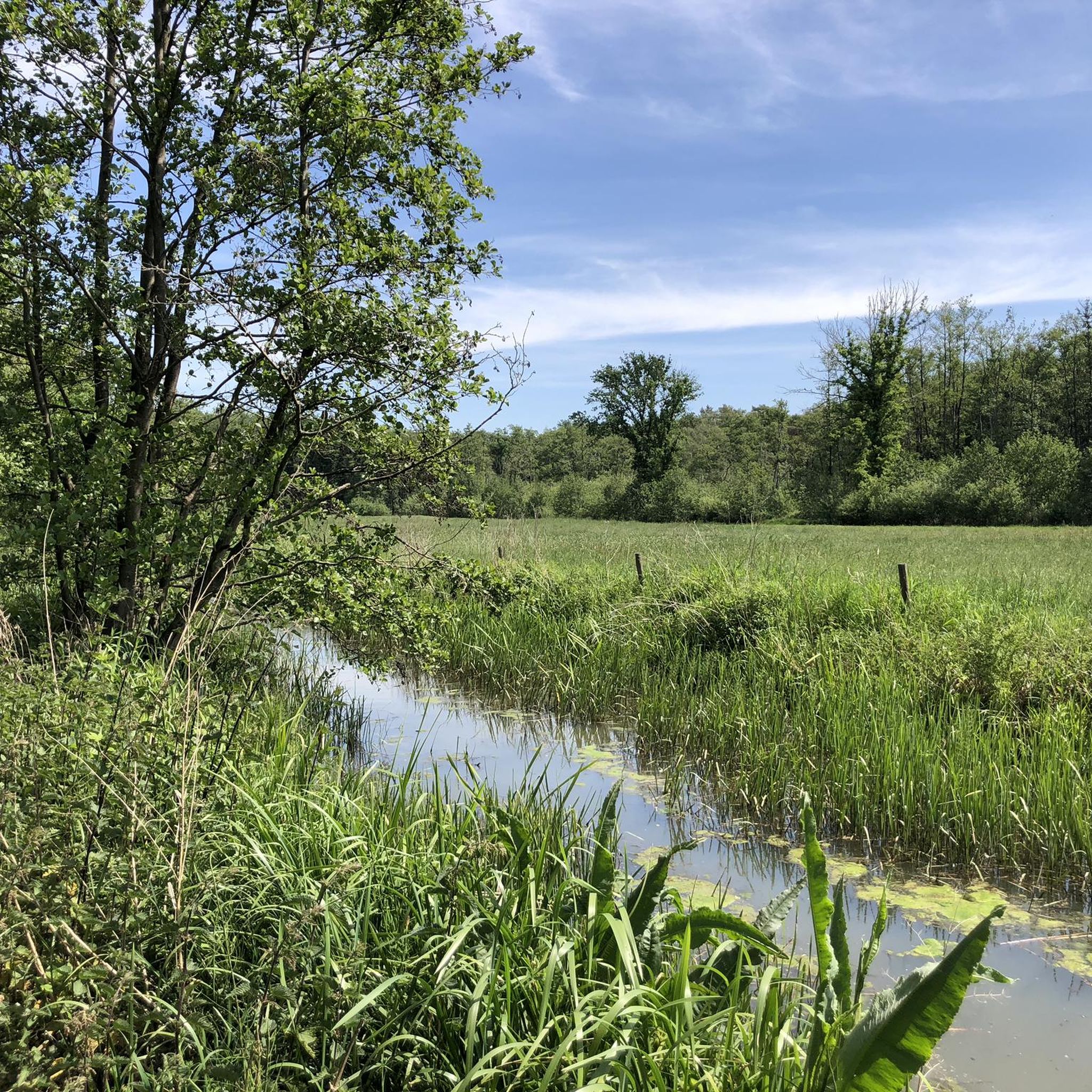
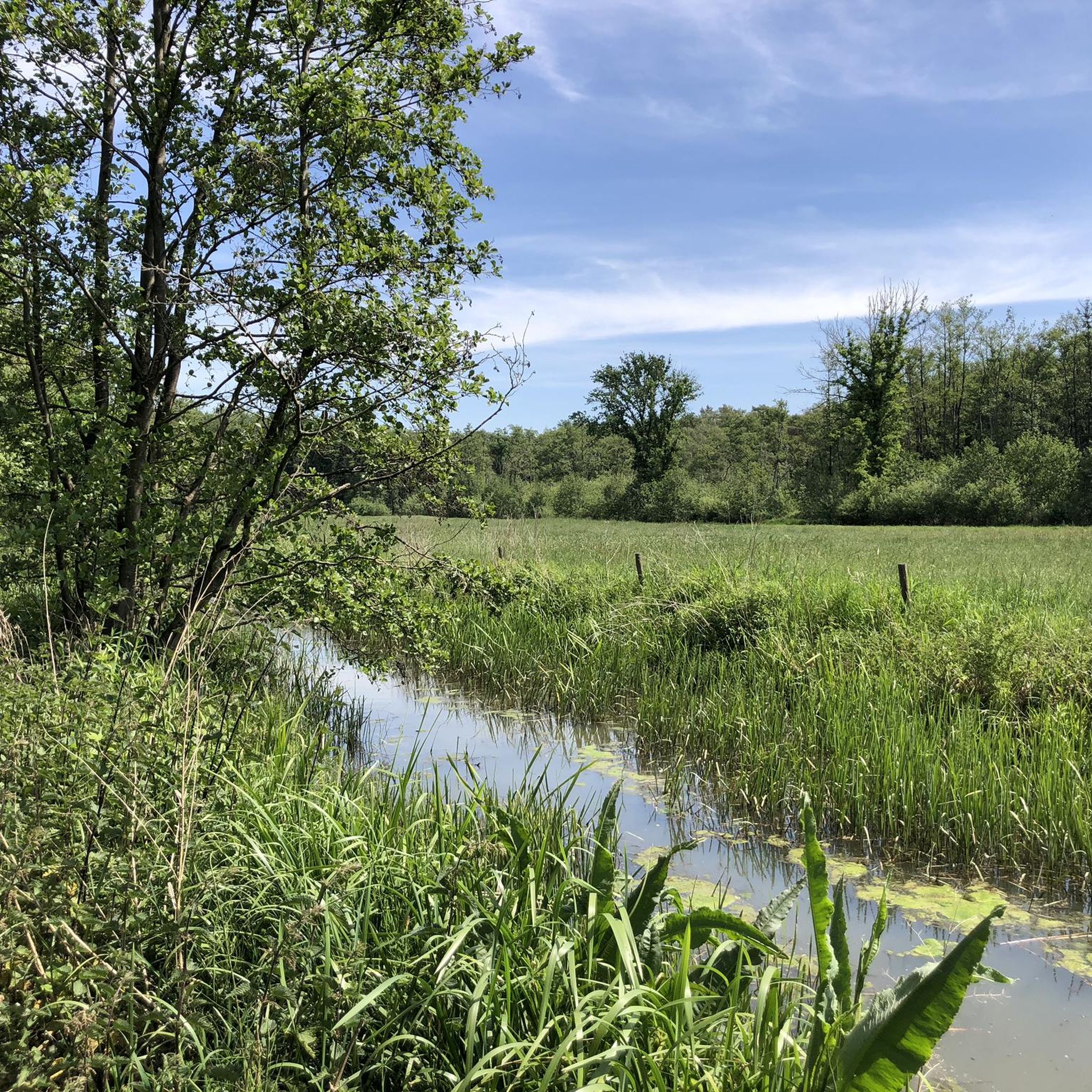
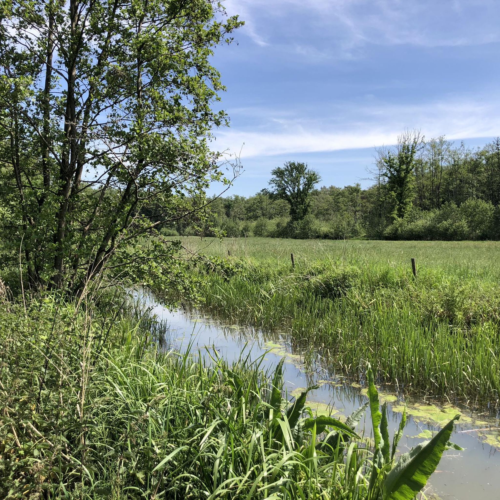
The Schuitwater is a 313-hectare nature reserve in North Limburg. It lies between the towns of Swolgen, Broekhuizenvorst, and Broekhuizen, and west of Lottum. It belongs to the municipality of Horst aan de Maas. The Schuitwater is managed by the Dutch Forestry Commission (Staatsbosbeheer). The name of the area is believed to derive from "beschutten" (sheltering), specifically the sheltering of livestock. However, it can also refer to the flat barges used to transport dredged peat. The Schuitwater nature reserve is a remnant of several old Meuse branches. These gradually silted up. From the 18th century onward, peat was dredged in the Schuitwateren. This was then transported using flat barges. After peat extraction ceased, silting up resumed. It is a wooded and water-rich area surrounded by higher sandy soils, with pine, drifting dunes, heathland, and birch forests. The barge waters within this area are: Lottumer Schuitwater and Schuitwater Broekhuizerbroek.
1
0

A nice souvenir from a famous cyclist who comes from this village.
1
0

A three-dimensional mural of a racing cyclist - donated by Anne Haeyen (2016).
1
0

During our heathland walk we found some nice resting places and they were all clean and free of rubbish. 👍🏼 I wish it was the same for all resting places, unfortunately we have experienced a lot of carelessness in other places.
0
0
The undulating wooden footbridge over the Broekhuizer Molenbeek is a beautiful landscape idea. The Broekhuizer Molenbeek flows into the Maas on the north side of Broekhuizen.
3
1
The walk through the heathland over wooden footbridges and the viewpoint on the Schuitwater are fun. An impressive landscape experience.
1
0
シュイットウォーターでのの人気観光スポット

komootモバイルアプリでインスピレーションを得よう


さらに探索
他の地域の最高のランニングトレイル & ルートを見てみましょう。
