カジノのおすすめウォーキング&ハイキングルート
4.4
(69)
411
ハイカー
20
ハイキング
カジノ周辺でのハイキングは、景色を満喫するのに最適な手段のひとつですが、適切なハイキングルートを見つけることは簡単ではありません。 カジノ周辺の人気ハイキング&ウォーキングコースを参考にすれば、行きたいルートをすぐに見つけられます。
最終更新日: 10月 11, 2026
4.0
(2)
8
ハイカー
5.68km
01:40
140m
140m
An easy 3.5-mile circular hike from Alcublas, featuring restored 17th-century windmills and panoramic views.
4.3
(3)
4
ハイカー
14.6km
04:15
380m
380m
Hike the moderate 9.1-mile La Solana y Barranco Lucía circular route from Alcublas, exploring pine forests and enjoying views of the Alcubla

12.7km
03:48
400m
400m
Hike the moderate 7.9-mile PR-CV 105 Cueva Sabuquera Circular Trail, exploring historical snowfields, lime kilns, and a unique cave.
4.5
(2)
1
ハイカー
21.8km
06:09
460m
460m
難しいハイキング. 標準以上のフィットネスレベルが必要です。 進みやすいルートです。あらゆるスキルレベルに適しています。
3.8
(5)
20
ハイカー
9.92km
02:44
170m
170m
中程度のハイキング. ある程度のフィットネスレベルが必要です。 進みやすいルートです。あらゆるスキルレベルに適しています。
さらに多くのルートや他のユーザーのおすすめ情報を確認できます。
すでにアカウントをお持ちですか?
おすすめのツアーは他のkomootユーザーが実際に経験した何千ものアクティビティに基づいています。
無料アカウントで今日から始めよう
次の冒険が待っています。
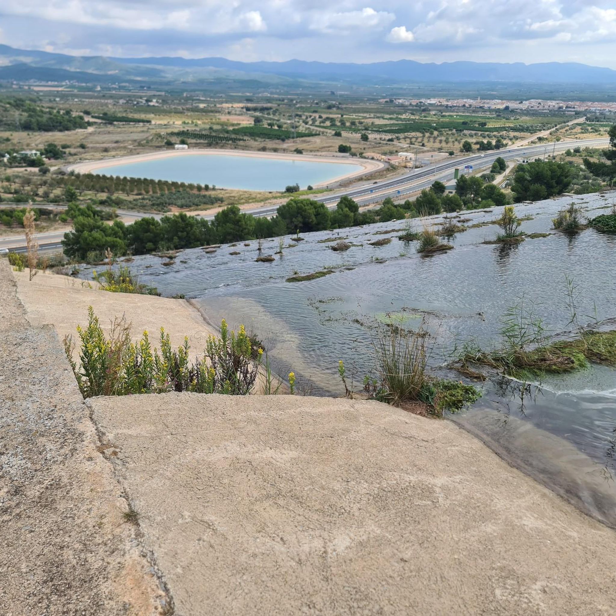
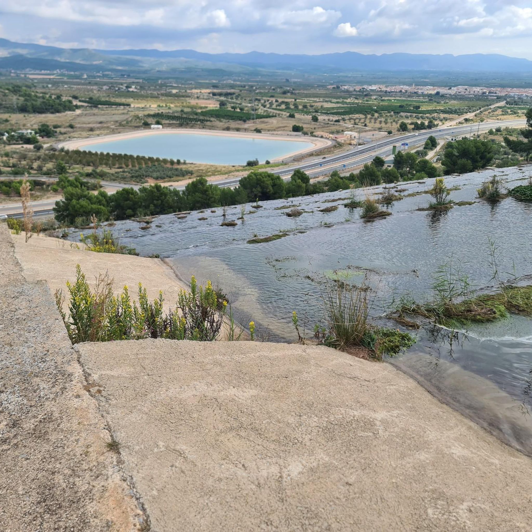
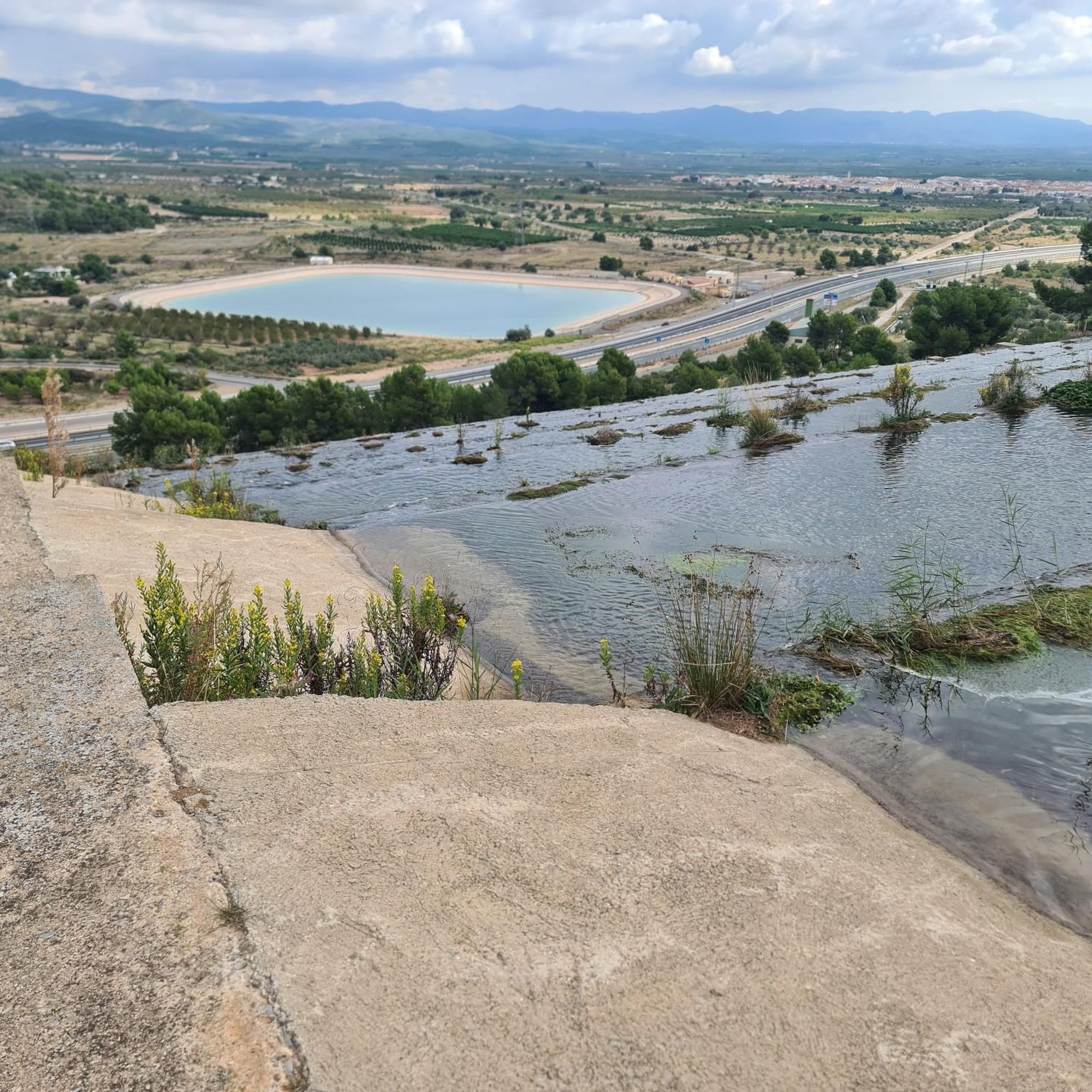
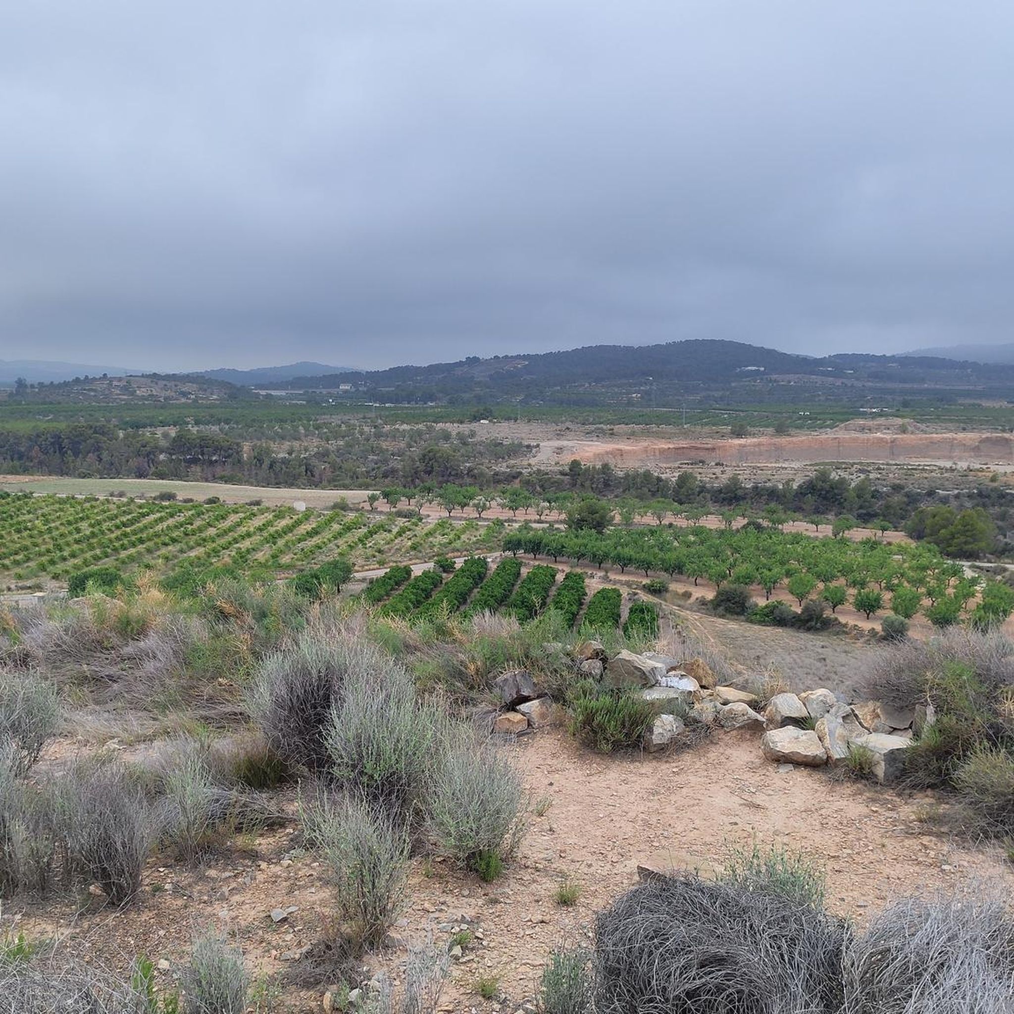

コミュニティからのヒント

バレンシアの内陸の町で、バーやレストランなどのサービスがあり、週末には人がいます。ルートについては、日曜日もスーパーマーケットが開いているという利点があります。
0
0
Puntal del llop、OlocauにあるPuntal dels Llopsと混同しないこと。良い景色と技術的な難所のない穏やかな登り
0
0

Alcublas (Valencian: Les Alcubles) is a municipality (municipio) with 607 inhabitants (as of January 1, 2022) in the Spanish province of Valencia. It is located in the comarca of Los Serranos. https://de.wikipedia.org/wiki/Alcublas
4
0

The most important of the snowdrifts in the area (this is what snowfields are called here) that served to store snow. It is located in the municipality of La Solana and Barranco Lucía Natural Park and is part of the Route of Trades, in which we can learn about the previous lives of people. There is an information panel where we can see where the rest of the snowdrifts are located.
1
0
Walk through the municipal natural area of La Solana and Barranco Lucía, which belongs to the municipality of Alcublas. The vegetation corresponds to the Mediterranean scrub, mainly formed by Aleppo pine and black pine. On the way we found some of the snowdrifts, which once served to preserve ice from the snow.
1
0
Puntal de Llop is the highest point on the route with its 598 meters high. At the top we can see an authentic natural viewpoint from where we can see views of the wide valley formed by the Turia River.
1
0
An archaeological site, inhabited between the 5th century BC. C. and the 3rd century BC. C., belongs to the Iberian culture.
0
0
Beautiful views of the town of Alcublas, I recommend walking at the beginning of the year, when the almond trees are in bloom.
3
0
カジノでのの人気観光スポット

komootモバイルアプリでインスピレーションを得よう


さらに探索
他の地域の最高のハイキングを見てみましょう。
