セニヤ周辺のアトラクション&必見スポット - トップ20
セニヤには必見のスポットがたくさんあります。ハイキング愛好家やサイクリング愛好家の方は、ぜひセニヤを探索してこのエリアにある20
の隠れたスポットを訪れてみてください。このエリアの必見スポットを確認し、次の冒険に出かける計画を立てましょう。
最終更新日: 9月 12, 2026
Coll de Rates
ハイライト • 山道
この登りは7km弱で、平均勾配は約5%と、アクセスしやすくリズミカルです。路面は素晴らしく、カーブはエレガントで、谷の上空に上がるにつれて景色はどんどん良くなっていきます。
プロの間では秘密ではありません。Jumbo-Visma、INEOS、UAE Team Emiratesなどのチームのライダーたちは、冬のトレーニングにColl de Ratesを定期的に利用しています。Tadej Pogačarが現在StravaのKOMを保持していることは、ここで自分自身を試した人々のレベルを物語っています。
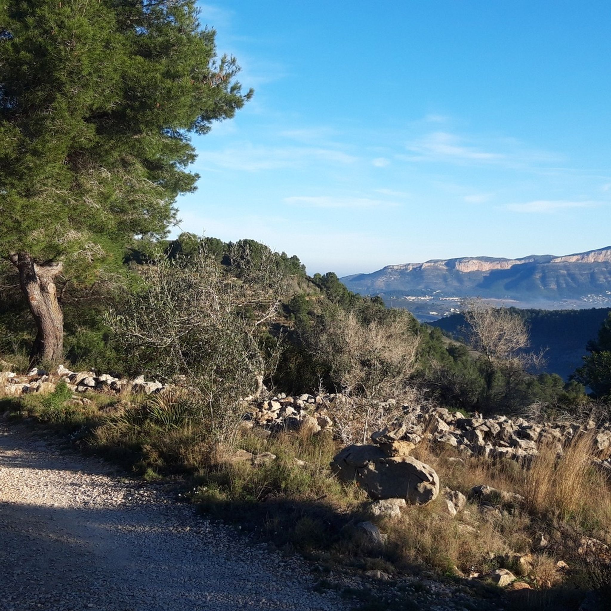
晴れた日には、頂上からの眺めは息をのむほどです。海岸線全体に広がり、運が良ければイビサ島さえも地平線にかすかにきらめくのが見えます。頂上にはカフェ(季節営業)があり、TarbenaまたはCastell de Castellsへの下りも同様にやりがいがあります。
景観、安定した勾配、サイクリングの歴史の組み合わせにより、Coll de Ratesは世界で最も多く登られ、最も愛されている登りの一つです。この地域で登るのが1つだけなら、これを選んでください。
翻訳を表示中
役立つ情報 は

ペニョン・デ・イファチの頂上
ハイライト • 山頂
翻訳者 Google •
役立つ情報 は

今すぐサインアップして、こんな場所を発見しよう
最高のシングルトラック、ピーク、その他のエキサイティングなアウトドアスポットのおすすめを受け取ろう。
コル・デ・ラテス峠
ハイライト (セグメント) • 山道
翻訳を表示中
役立つ情報 は

ラ・フォッサ海岸遊歩道(Paseo Marítimo de la Fossa)
ハイライト • ビーチ
翻訳者 Google •
役立つ情報 は

無料アカウントで今日から始めよう
次の冒険が待っています。


コミュニティからのヒント

とても美しいですが、難易度に関しては、コメントで頂上が楽観的に描かれすぎていることに注意してください。頂上は間違いなく赤(=難しい)です。つまり、30分間よじ登ることになります。登りも下りも30分ずつです。それ以外は素晴らしいです。
0
0

コスタ・ブランカでのサイクリングを定義する登りがあるとすれば、それはColl de Ratesです。Parcentの村から始まるこの伝説的な登りは、週末の戦士からツール・ド・フランスのチャンピオンまで、世界中のサイクリストにとって必乗のルートとなっています。 この登りは7km弱で、平均勾配は約5%と、アクセスしやすくリズミカルです。路面は素晴らしく、カーブはエレガントで、谷の上空に上がるにつれて景色はどんどん良くなっていきます。 プロの間では秘密ではありません。Jumbo-Visma、INEOS、UAE Team Emiratesなどのチームのライダーたちは、冬のトレーニングにColl de Ratesを定期的に利用しています。Tadej Pogačarが現在StravaのKOMを保持していることは、ここで自分自身を試した人々のレベルを物語っています。 晴れた日には、頂上からの眺めは息をのむほどです。海岸線全体に広がり、運が良ければイビサ島さえも地平線にかすかにきらめくのが見えます。頂上にはカフェ(季節営業)があり、TarbenaまたはCastell de Castellsへの下りも同様にやりがいがあります。 景観、安定した勾配、サイクリングの歴史の組み合わせにより、Coll de Ratesは世界で最も多く登られ、最も愛されている登りの一つです。この地域で登るのが1つだけなら、これを選んでください。
10
3
The Coll de Rates consistently ranks in the top ten of the most ridden mountains every year. Pro riders compete for the best times.
2
1

The summit of Peñón de Ifach is 332 meters above sea level. To reach the top, follow the Red Route of the Peñón de Ifach Natural Park. This route begins at the visitor center and passes through a tunnel before reaching the summit. The hike is challenging, especially after the tunnel, where the terrain becomes steeper and more slippery. Hands are required for support in some places, as is appropriate footwear. The views from the summit are spectacular, offering panoramic views of the Mediterranean Sea and the Calpe coast.
11
0

Good hiking boots with ankle protection, enough water. Small section where there is some climbing (easy)
2
1

最も美しいとは言えないかもしれませんが、この地域で最も有名な登りであることは間違いありません。この登りは美しいですが、特にプロがテストするのに最適な長さと勾配であるため、人気があります。Parcentから上り坂は約6.5kmで、平均勾配は5%強(最も急な部分で8%以下)です。 息が続く方は、途中で素晴らしい景色を楽しむことができます😁
6
3

Very beautiful and impressive hike, definitely worth it. Amazing view.
8
0


komootモバイルアプリでインスピレーションを得よう


さらに探索
まだ探しているハイライトが見つかりませんか?他の地域のトップアトラクションのガイドを見てみましょう:
