ヴァルマーラのおすすめランニングルート
5.0
(1)
371
ランナー
27
ランニング
ヴァルマーラでランニングを楽しめば、このエリアをより深く知ることができます。ランニングに適した美しいルートが見つかるように、komootがヴァルマーラでのルートのコレクション全体を評価して選び抜いた、人気ランニングトレイルをご紹介します。ルートをクリックして詳細を表示し、他のユーザーがアップロードした役立つ情報や写真を閲覧しましょう。
最終更新日: 10月 15, 2026
29
ランナー
14.6km
02:47
1,090m
1,090m
This difficult 9.1-mile jogging loop to Pico San Millán offers challenging climbs, diverse forests, and panoramic views in Sierra de la Dema
35
ランナー
24.1km
03:59
1,310m
1,310m
難しいジョギング. 標準以上のフィットネスレベルが必要です。 安定して歩行できる技術、丈夫な靴、高標高地での登山経験が必要です。

22
ランナー
20.5km
02:31
870m
870m
難しいジョギング. 標準以上のフィットネスレベルが必要です。 安定して歩行できる技術、丈夫な靴、高標高地での登山経験が必要です。
15
ランナー
47.4km
07:42
2,770m
2,770m
難しいジョギング. 標準以上のフィットネスレベルが必要です。 安定して歩行できる技術、丈夫な靴、高標高地での登山経験が必要です。
9
ランナー
21.2km
03:04
1,060m
1,060m
難しいジョギング. 標準以上のフィットネスレベルが必要です。 安定して歩行できる技術、丈夫な靴、高標高地での登山経験が必要です。
さらに多くのルートや他のユーザーのおすすめ情報を確認できます。
すでにアカウントをお持ちですか?
おすすめのツアーは他のkomootユーザーが実際に経験した何千ものアクティビティに基づいています。
無料アカウントで今日から始めよう
次の冒険が待っています。

コミュニティからのヒント

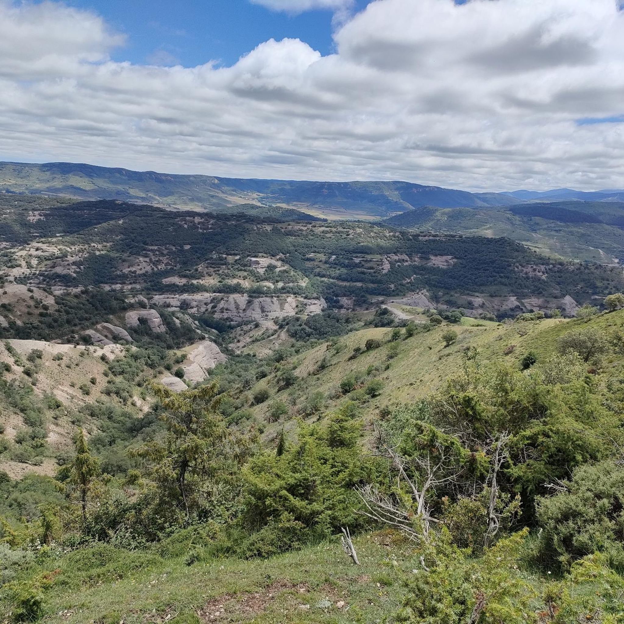
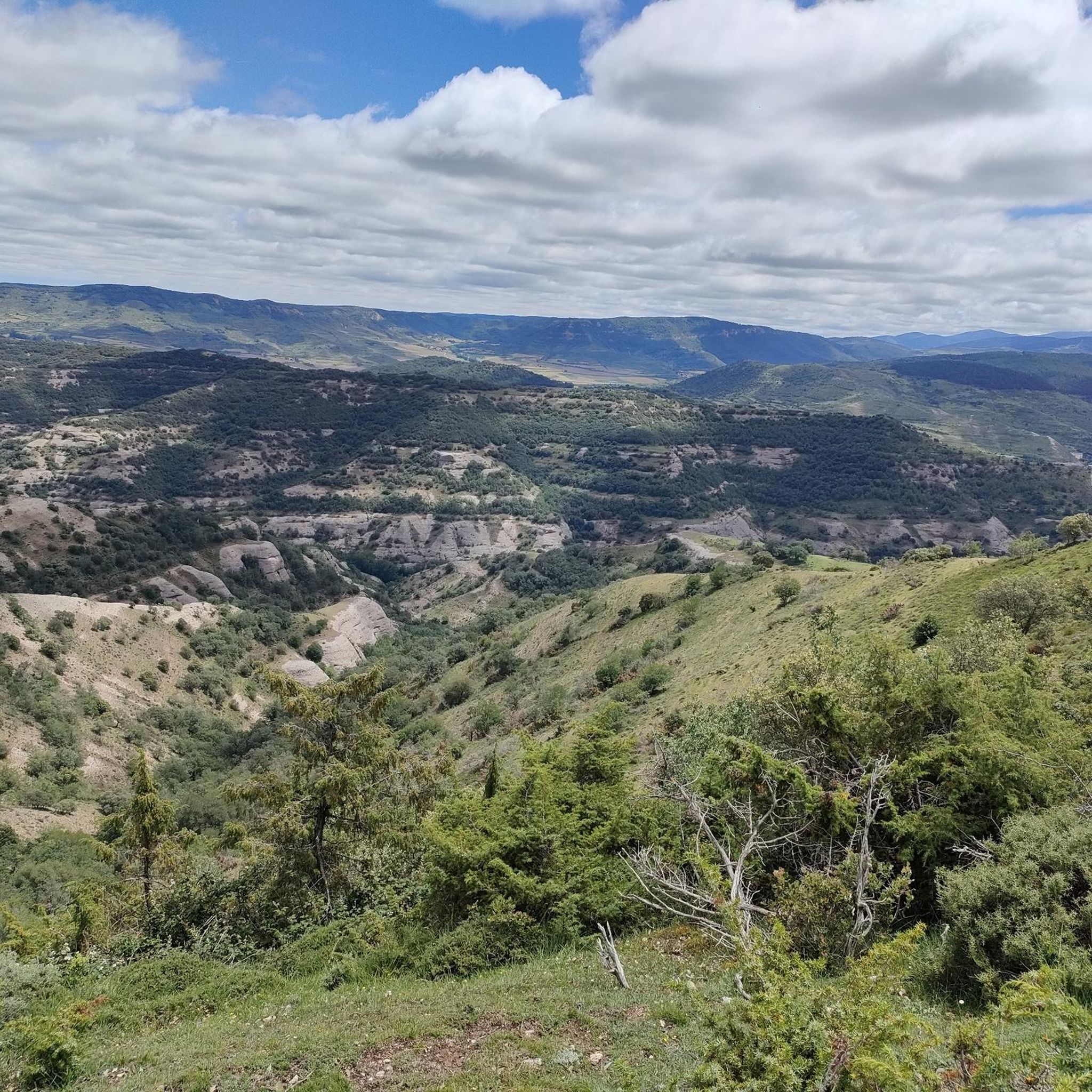
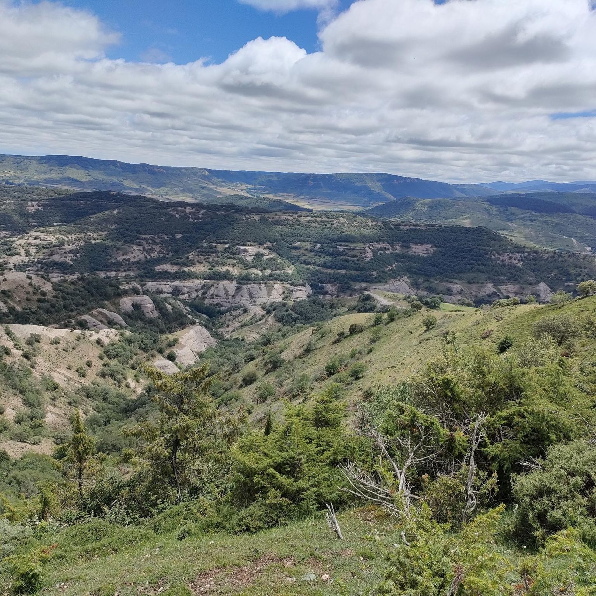
エル・メンシラは、イベリア山脈内のデマンダ山脈の一部であるメンシラ山脈の最高峰です。海抜1932メートル、標高差532メートルのこの山は、同名の山脈にその名を冠しています。デマンダ山脈自然保護区に位置し、ブルゴス県のデマンダ山脈地方の一部であるピネダ・デ・ラ・シエラとティニエブラス・デ・ラ・シエラの市町村境界がここで合流します。
0
0


The path leaves El Portillo on the east side, goes up a few meters along a channel and enters the north side. If the mountain has snow, this section is dangerous because the cold and shady conditions keep the path icy and the fall is fatal; crampons and ice axes would be essential. The alternative is to climb directly along the channel on the east face, with less slope, sunnier and direct to the summit of San Millán (2,131 m), also called El Torruco. At the top there is a small circular stone tower adorned with a metal house and other festival motifs left by mountaineers. The southern slope of the mountain is a large mass of gentle slopes with no remains of glacial activity towards the valley of the Arlanzón River. The descent continues along the west face, enjoying extraordinary views of the Urbión River valley and the glacial cirque where the San Millán lagoon appears half frozen.
0
0

From the top of Pico Mencilla, you can see Pico Trigaza and San Millan
2
0

The Alto de la Garrula is a halfway point from where the Sendero de las Cascadas leaves and where you can take the direction towards the highest mountains of the Sierra de la Demanda, as is the case with Pico Millán.
0
0
It is one of the waterfalls that are found in this valley and that are part of the Arroyo del Allúzarra, in the upper part of it. The waters come from the high mountains that are flanking the mountains above.
0
0
ヴァルマーラでのの人気観光スポット

komootモバイルアプリでインスピレーションを得よう


さらに探索
他の地域の最高のランニングトレイル & ルートを見てみましょう。
