パラモデルシルのおすすめウォーキング&ハイキングルート
4.5
(32)
300
ハイカー
28
ハイキング
パラモデルシル周辺でのハイキングは、景色を満喫するのに最適な手段のひとつですが、適切なハイキングルートを見つけることは簡単ではありません。 パラモデルシル周辺の人気ハイキング&ウォーキングコースを参考にすれば、行きたいルートをすぐに見つけられます。
最終更新日: 11月 1, 2026
1.0
(1)
3
ハイカー
10.8km
03:25
450m
460m
中程度のハイキング. ある程度のフィットネスレベルが必要です。 歩きやすい道です。
12.3km
05:15
830m
830m

5.0
(1)
12
ハイカー
16.9km
06:35
930m
930m
難しいハイキング. 標準以上のフィットネスレベルが必要です。 ほとんどが歩ける道です。足元への注意が必要です。
5.0
(1)
14
ハイカー
15.1km
05:52
860m
860m
難しいハイキング. 標準以上のフィットネスレベルが必要です。 ほとんどが歩ける道です。足元への注意が必要です。
8
ハイカー
21.4km
08:52
1,280m
1,280m
難しいハイキング. 標準以上のフィットネスレベルが必要です。 安定して歩行できる技術、丈夫な靴、高標高地での登山経験が必要です。
さらに多くのルートや他のユーザーのおすすめ情報を確認できます。
すでにアカウントをお持ちですか?
おすすめのツアーは他のkomootユーザーが実際に経験した何千ものアクティビティに基づいています。
無料アカウントで今日から始めよう
次の冒険が待っています。

コミュニティからのヒント

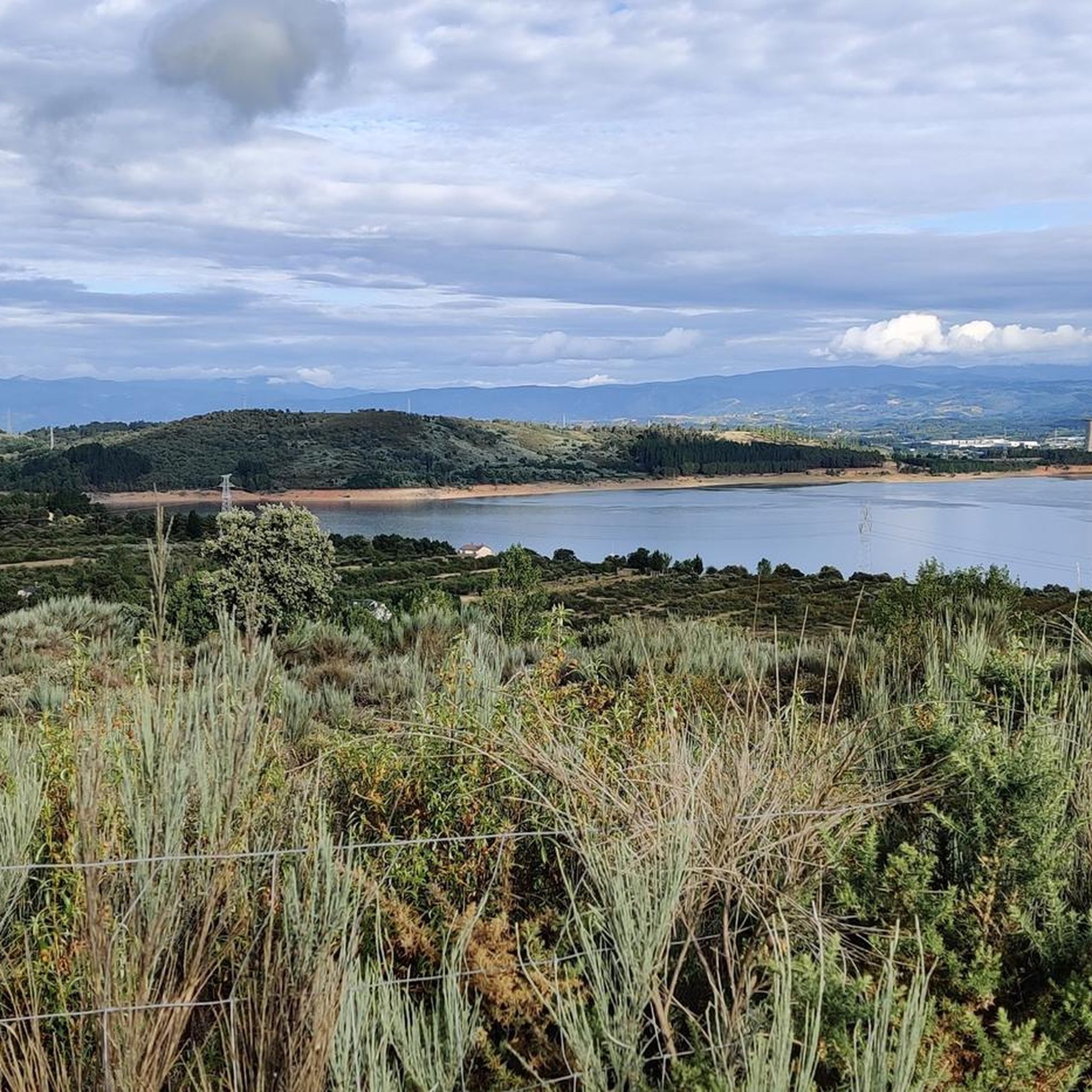
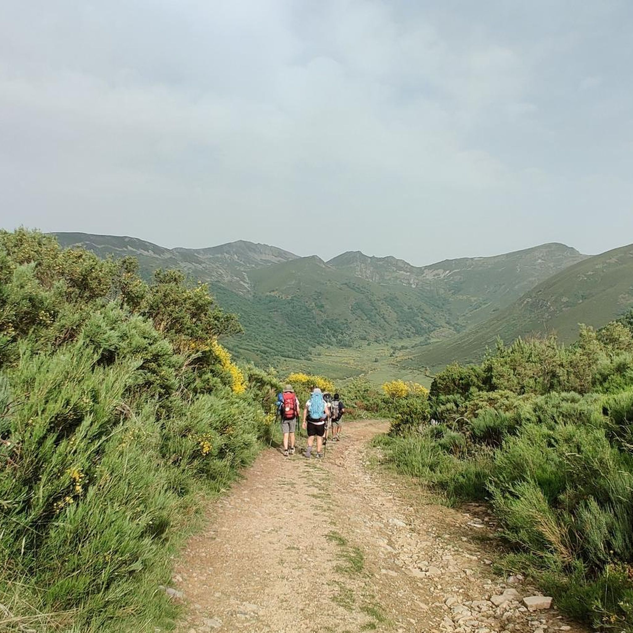
Near the town of Villamartín del Sil, we find this beautiful dirt road. Undoubtedly, a beautiful picture surrounded by nature, quite possibly running towards the San Pedro Mallo Lagoon.
1
0
Near the town of Villamartín del Sil, we find this beautiful dirt road. Without a doubt, a beautiful picture surrounded by nature, quite possibly walking towards the San Pedro Mallo Lagoon.
4
0
Located in a beautiful area of pure nature and tranquility, the small lagoon of San Pedro Mallo is an ideal place to take a break and recover energy while enjoying the views. The roads that surround it are not difficult at all, they are wide and without complications.
1
0
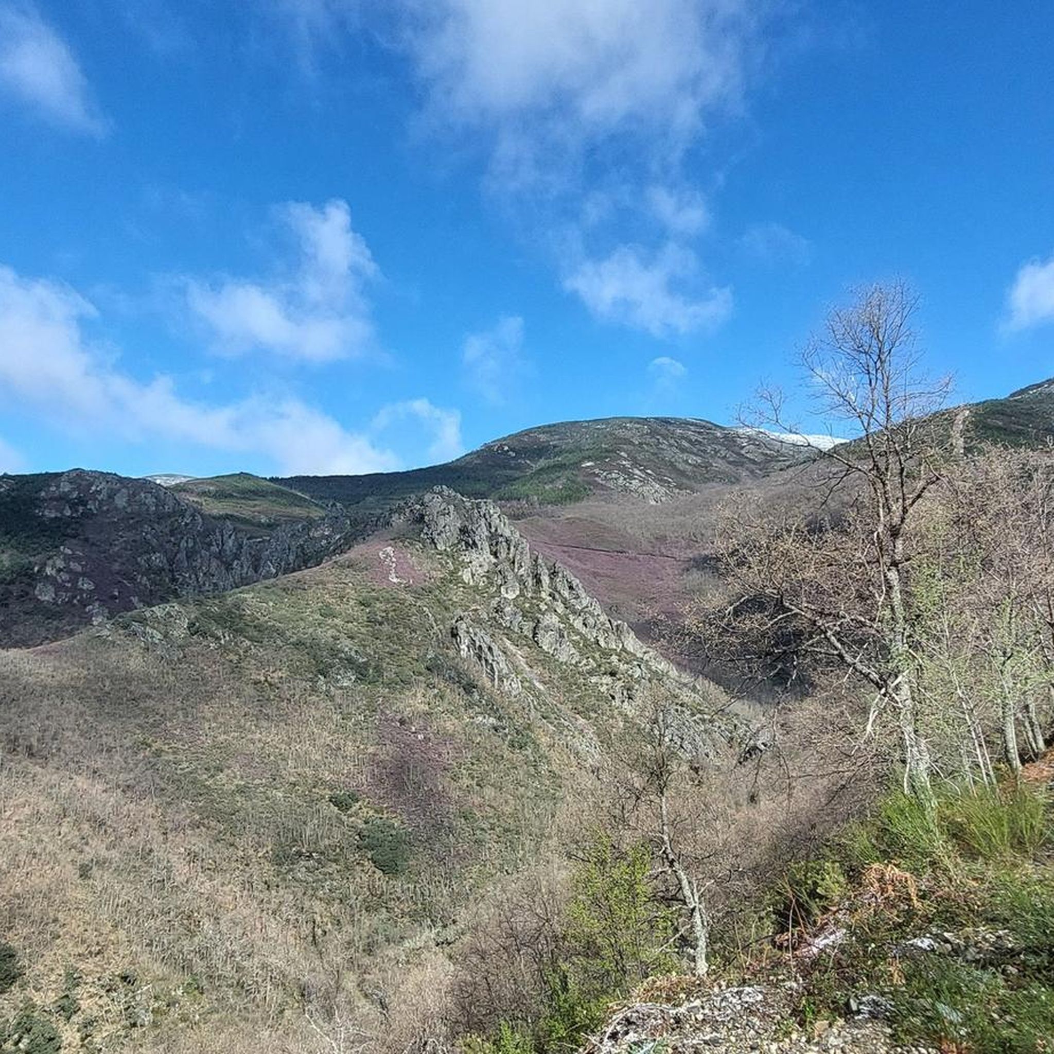
Beautiful 360 degree views that we find in the Pico Nevadín, located at 2,077 meters above sea level. On clear days we will have a privileged view of the Catoute and Cernella range, as well as other peaks to the south such as Valdeiglesias and Tambarón.
4
0
From the top of Pico Catoute, located 2,112 meters above sea level, we will have sublime panoramic views next to the geodesic post and the mailbox.
5
0
Located at an altitude of 2,119 meters, the Pico de la Cernella offers us a beautiful panoramic view of the surrounding area and the Rebeza Lagoon at our feet.
3
1
Located in a beautiful area of pure nature and tranquility, the small lagoon of San Pedro Mallo is an ideal place to take a break and recover energy while enjoying the views. The roads that surround it are not difficult at all, they are wide and without technical complications.
2
0

Located in an environment of pure nature and tranquility, the small lagoon of San Pedro Mallo is an ideal place to relax and follow a very pleasant and relaxed itinerary. Very close to here is the recreational area with everything you need to have a picnic if you prefer.
6
0
パラモデルシルでのの人気観光スポット

komootモバイルアプリでインスピレーションを得よう


さらに探索
他の地域の最高のハイキングを見てみましょう。
