イゲラのおすすめライド
5.0
(2)
172
ライダー
20
ライド
イゲラ周辺のロードバイクルートをお探しですか?ここでは、komootが提供するイゲラでのロードバイクライドのコレクション全体を評価して選び抜いた人気ルートをご紹介します。各ライドの詳細をぜひご覧ください。
最終更新日: 8月 21, 2026
11
ライダー
64.7km
04:00
1,220m
1,220m
難しいロードライド. 標準以上のフィットネスレベルが必要です。 全般的に舗装状態が良好で走行しやすい道です。
5.0
(1)
5
ライダー
46.5km
02:38
720m
720m
中程度のロードライド. ある程度のフィットネスレベルが必要です。 全般的に舗装状態が良好で走行しやすい道です。

無料新規登録
1
ライダー
77.6km
04:27
1,320m
1,320m
難しいロードライド. 標準以上のフィットネスレベルが必要です。 全般的に舗装状態が良好で走行しやすい道です。
35.6km
02:09
750m
750m
中程度のロードライド. ある程度のフィットネスレベルが必要です。 全般的に舗装状態が良好で走行しやすい道です。
71.9km
04:14
1,360m
1,360m
難しいロードライド. 標準以上のフィットネスレベルが必要です。 全般的に舗装状態が良好で走行しやすい道です。
さらに多くのルートや他のユーザーのおすすめ情報を確認できます。
無料新規登録
すでにアカウントをお持ちですか?
おすすめのツアーは他のkomootユーザーが実際に経験した何千ものアクティビティに基づいています。
無料アカウントで今日から始めよう
次の冒険が待っています。
ログインまたは登録
イゲラ周辺で人気

コミュニティからのヒント

At the southeastern end of the Monfragüe National Park is the town of Deleitosa, surrounded by oak and chestnut forests. Stop by the center of town to rest, eat something and admire the church of San Juan Evangelista.
1
0
Nice climb to Puerto de Campillo, 2.75 km coming from the south side, it is not too long. The views from the top at 700 meters above sea level are gratifying. Prepare for the descent towards Campillo de Deleitosa.
1
0
At the foot of the Sierra de la Caldilla, is the small historic town of Higuera. Stop by the charming San Sebastián church if you need to rest and grab a bite to eat.
0
0
Cycle to the Miravete mountain pass. From this point you can see the ruins of the Zúñigas fortification from the 16th century. Today, eclipsed by communication antennas.
0
0
The climb from Puente Campillo to Alto de las Mesas is a stretch of 4.74 kilometers with an average slope of 5.1%. Enjoy the view of the surrounding landscape.
1
0

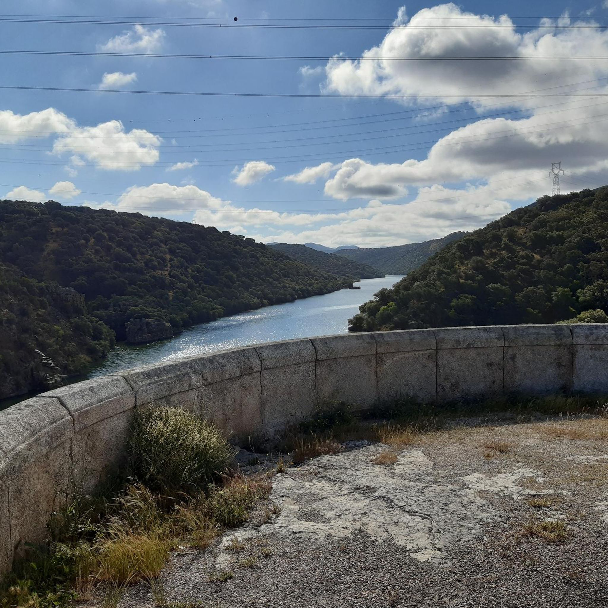
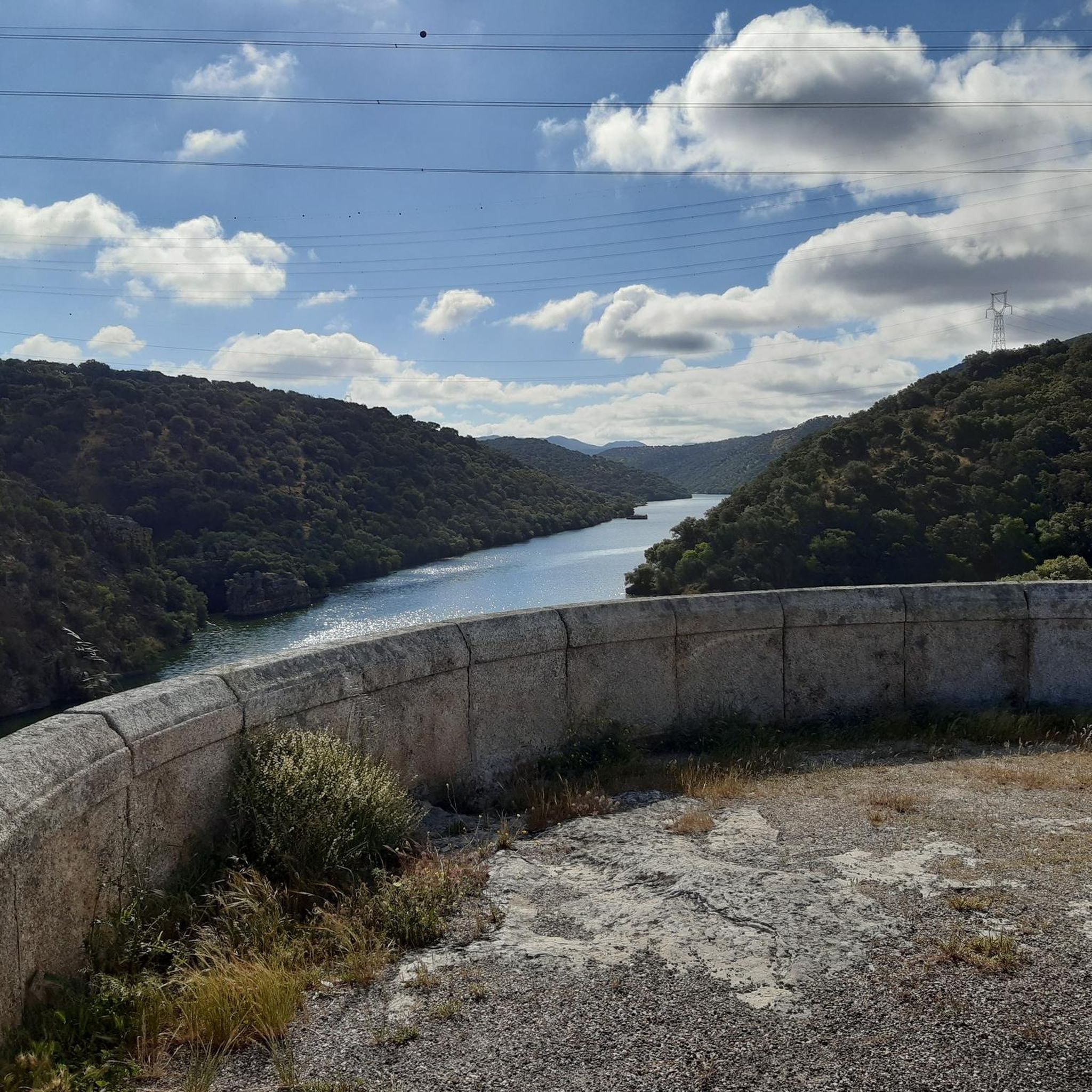
Both the views of the bridge over the river and the panoramic view you have of the Tagus when you cross it, from the siding, justify a stop on your route.
0
1
A bridge over the Tagus River along the famous Camino Real de Extremadura route between Madrid and Portugal. Stop for stunning views of the river valley below.
1
0
Almaraz is located near the Tagus River and the Almaraz reservoir. The Iglesia San Andrés dominates the horizon and together with the medieval Castle of Almaraz they represent the rich heritage of Alamaraz. Today, Almaraz is best known for its nuclear power plant.
0
0
イゲラでのの人気観光スポット

komootモバイルアプリでインスピレーションを得よう


さらに探索
他の地域の最高のロードサイクリングルートを見てみましょう。
