カセレスのおすすめライド
4.6
(236)
11,575
ライダー
743
ライド
このガイドでご紹介するのは、komootがカセレスでのロードバイクルートのコレクション全体を評価して選び抜いた、このエリアの人気バイクライドです。あなたに合ったものを見つけるには、以下のルートをクリックして標高データや舗装状態の分析などの細かな情報を把握し、さらにkomootコミュニティのメンバーが投稿した役立つ情報や写真も閲覧しましょう。
最終更新日: 10月 10, 2026
262
ライダー
90.7km
05:17
1,890m
1,890m
難しいロードライド. 標準以上のフィットネスレベルが必要です。 全般的に舗装状態が良好で走行しやすい道です。
5.0
(2)
167
ライダー
48.5km
02:08
280m
280m
中程度のロードライド. ある程度のフィットネスレベルが必要です。 全般的に舗装状態が良好で走行しやすい道です。

5.0
(7)
138
ライダー
50.1km
02:20
320m
320m
中程度のロードライド. ある程度のフィットネスレベルが必要です。 全般的に舗装状態が良好で走行しやすい道です。
5.0
(1)
90
ライダー
95.9km
04:16
770m
770m
中程度のロードライド. ある程度のフィットネスレベルが必要です。 全般的に舗装状態が良好で走行しやすい道です。
71
ライダー
69.3km
04:13
1,640m
1,640m
難しいロードライド. 標準以上のフィットネスレベルが必要です。 全般的に舗装状態が良好で走行しやすい道です。
59
ライダー
77.9km
04:54
1,600m
1,600m
難しいロードライド. 標準以上のフィットネスレベルが必要です。 全般的に舗装状態が良好で走行しやすい道です。
53
ライダー
57.6km
03:07
1,160m
1,170m
難しいロードライド. 標準以上のフィットネスレベルが必要です。 全般的に舗装状態が良好で走行しやすい道です。
47
ライダー
93.6km
04:53
1,120m
1,120m
難しいロードライド. 標準以上のフィットネスレベルが必要です。 全般的に舗装状態が良好で走行しやすい道です。
43
ライダー
113km
05:58
1,700m
1,700m
難しいロードライド. 標準以上のフィットネスレベルが必要です。 全般的に舗装状態が良好で走行しやすい道です。
41
ライダー
112km
05:39
1,870m
1,860m
難しいロードライド. 標準以上のフィットネスレベルが必要です。 全般的に舗装状態が良好で走行しやすい道です。
さらに多くのルートや他のユーザーのおすすめ情報を確認できます。
すでにアカウントをお持ちですか?
おすすめのツアーは他のkomootユーザーが実際に経験した何千ものアクティビティに基づいています。
カセレスでのの他の冒険


コミュニティからのヒント

グアダルーペ王立修道院(Monastero Reale di Santa María de Guadalupe)は、スペイン、エストレマドゥーラ自治州カセレス県グアダルーペにある、15世紀の壮大な修道院複合施設です。1993年にユネスコの世界遺産に登録されたこの場所は、4世紀にわたる歴史と、ゴシック・ムデハル様式のユニークな傑作を組み合わせています。
0
0
グアダルーペのサンタ・マリア王立修道院は、スペイン、エストレマドゥーラ自治州、カセレス県グアダルーペ市にある、14世紀の壮大な修道院複合施設です。1993年にユネスコ世界遺産に登録されたこの素晴らしい記念碑は、ゴシック様式、ムデハル様式、ルネサンス様式、バロック様式という建築様式の融合の卓越した例です。4世紀にわたり、カトリック両王の歴史とアメリカ大陸の発見に密接に関連した、この国で最も重要な修道院でした。
0
0


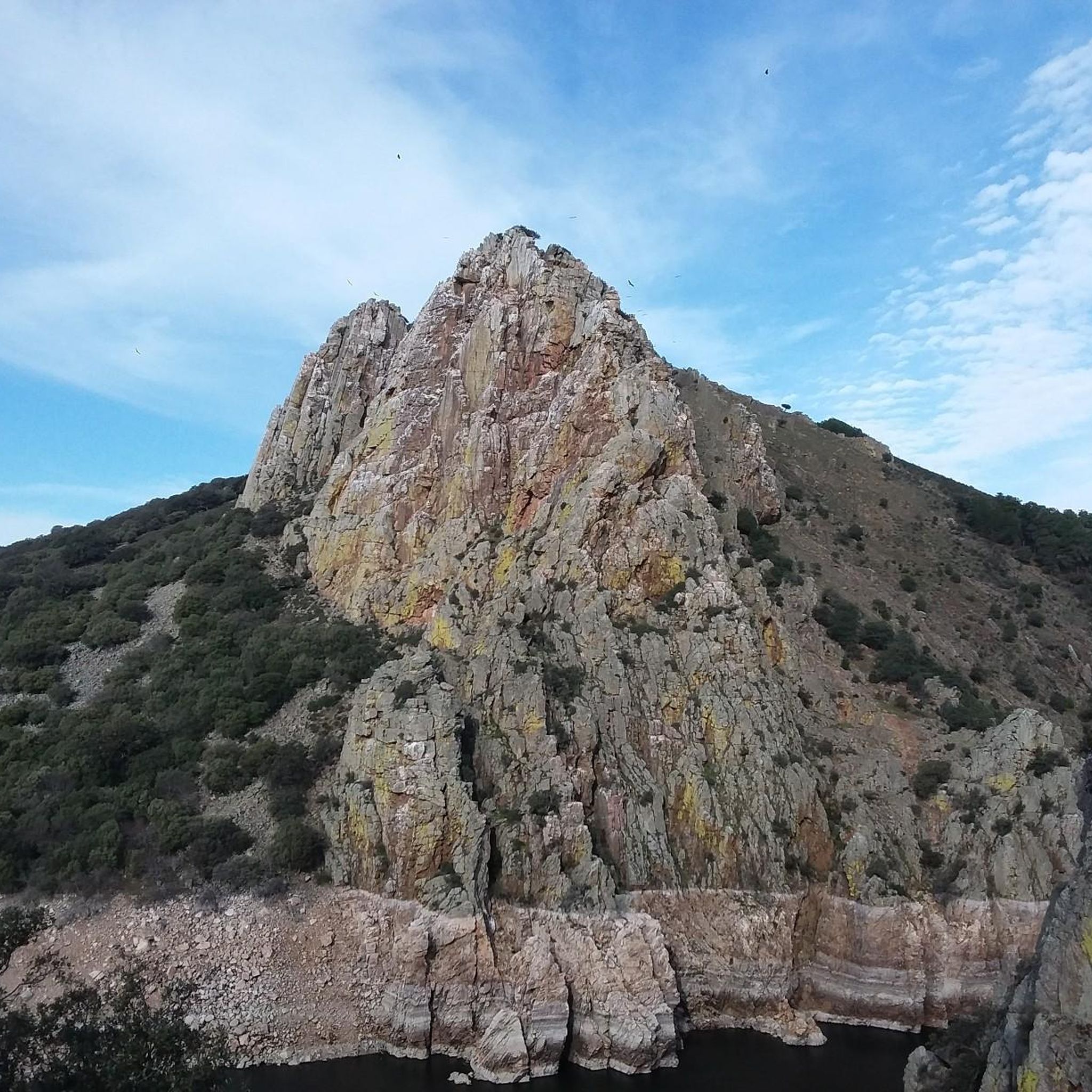
何十年もの間、忘れ去られ、訪れる人も少ない辺鄙な遺跡となっていました。しかし最近では、ミラベル城(またはその残骸)が、このモンフラグエ生物圏保護区の一部で最も魅力的な場所の1つとなっています。山岳地帯の丘の上に位置するこの城の印象的な防御構造は、眼下に広がるタホ川の壮大な景色を眺めることができます。
12
0
Hervásには、ダビラ宮殿、教区教会、トリニタリアン修道院などの素晴らしい建築遺産があります。ヨーロッパ最大のクラシックバイクコレクション!
15
0

The Royal Monastery of Santa María de Guadalupe is a 14th-century monastery located in the Spanish town of Guadalupe, in the province of Cáceres. It was declared a UNESCO World Heritage Site in 1993. Inside, you can appreciate Gothic, Mudéjar, Renaissance, Baroque, and Neoclassical architectural styles. A place with a rich history and breathtaking architectural beauty! 🌟🏰
13
0
The Church of the Assumption is considered one of the finest examples of late Gothic architecture. For this reason, both the church and its main altarpiece were declared cultural heritage sites in 1981.
7
0

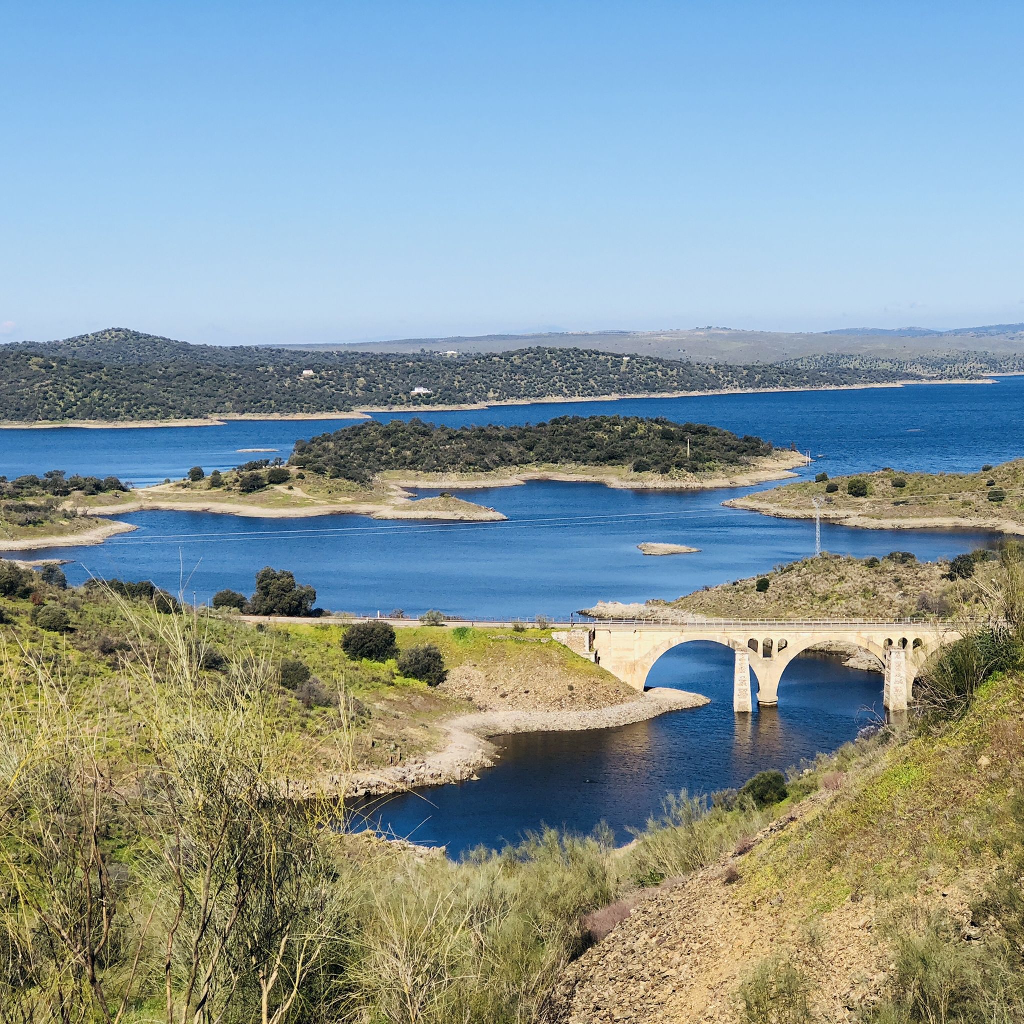
Stage 1. Guadalupe/Herrera del Duque 98 kilometers. 2,160 meters of elevation gain. The Cáceres town of Guadalupe has been a famous pilgrimage center since the late 13th century, when a local shepherd found the image of the Virgin hidden in a remote mountainous area of the Sierra de las Villuercas, building a hermitage for worship that gave rise to the site of La Puebla de Santa María de Guadalupe. The Order of Saint Jerome founded the Royal Monastery, and during the Middle Ages it was a notable sanctuary of popular devotion. It is the most important and outstanding monument in Guadalupe, with a beautiful Mudejar feel and a blend of Gothic, Renaissance, and Baroque elements. It was declared a World Heritage Site in 1993. The old town of La Puebla has been declared a Historic-Artistic Site and features arcades, stone fountains, folk architecture, and medieval alleyways in the old Jewish quarter. The cycle tour begins in the lively Plaza de Santa María along Calle Sevilla, passes through the Arco de Sevilla, which was one of the gates in the old wall protecting the monastery, continues past the Fuente de los Tres Chorros, one of the town's 17 fountains, and leaves Guadalupe along a cobbled path with slate slabs that requires some skill with the brakes due to the steep slope. On the outskirts, the first milestones of the Villuercas Nature Trail GR-116 appear. The path crosses the road at the rustic Angorrilla bridge and continues through the forest canyon of the Guadalupejo River. The pace is slow at first; the trail doesn't allow for fast pedaling, and the jungle of vegetation captivates the atmosphere. The path passes over the imposing viaduct of the old railway and finally enters the dirt tracks that climb towards the Villuercas mountains, descending back to the Guadalupejo riverbed, where there is a pedestrian bridge to cross the ford when floodwaters make it difficult to cross the river. Alía is the first village on the route, a good place to check your gear and bike after the rough ride before entering the toughest section of the stage, over the Puerto de San Vicente. The crossing of the Guadarranque Valley is a quintessential landscape in the unique geological realm of Las Villuercas, but on a bicycle, it's a significant challenge. At the river footbridges, a furious climb begins to the Manzano pass. The dirt surface of the Nature Trail crosses the road, descends through gravel forks to a stream, and continues along steep slopes to the Puerto de San Vicente pass. The easy option is to climb along the shoulder of the road and, in the village, rejoin the Las Villuercas Nature Trail to the Santa Quiteria station, the start/finish of the Vía Verde de la Jara. In the following section, there are no specific cycling route signs; it is essential to follow the track. The route runs along the foothills of the Altamira mountain range and the Rincón del Torozo Microreserve through holm oak forests, crosses the mountain range via Puerto del Rey, and descends to the Cíjara reservoir dam, one of the large artificial lakes on the middle course of the Guadiana River and borders Cáceres and Badajoz.
1
1

komootモバイルアプリでインスピレーションを得よう


探していたものは見つかりませんでしたか?
カセレスの下にある他のロードサイクリングルートをチェックして、目的地で完璧なルートを見つけましょう。
さらに探索
他の地域の最高のロードサイクリングルートを見てみましょう。
