モクリネホのおすすめライド
4.7
(133)
5,969
ライダー
42
ライド
モクリネホ周辺のロードバイクルートをお探しですか?ここでは、komootが提供するモクリネホでのロードバイクライドのコレクション全体を評価して選び抜いた人気ルートをご紹介します。各ライドの詳細をぜひご覧ください。
最終更新日: 8月 21, 2026
4.7
(19)
241
ライダー
51.9km
02:51
1,040m
1,040m
難しいロードライド. 標準以上のフィットネスレベルが必要です。 全般的に舗装状態が良好で走行しやすい道です。
5.0
(3)
208
ライダー
101km
05:08
1,610m
1,610m
難しいロードライド. 標準以上のフィットネスレベルが必要です。 全般的に舗装状態が良好で走行しやすい道です。

無料新規登録
151
ライダー
99.4km
05:05
1,560m
1,560m
難しいロードライド. 標準以上のフィットネスレベルが必要です。 全般的に舗装状態が良好で走行しやすい道です。
4.5
(11)
437
ライダー
33.5km
01:23
160m
160m
初級者向けロードバイクライド. あらゆるフィットネスレベルに適しています。 全般的に舗装状態が良好で走行しやすい道です。
5.0
(2)
119
ライダー
46.8km
02:43
1,120m
1,120m
難しいロードライド. 標準以上のフィットネスレベルが必要です。 全般的に舗装状態が良好で走行しやすい道です。
さらに多くのルートや他のユーザーのおすすめ情報を確認できます。
無料新規登録
すでにアカウントをお持ちですか?
おすすめのツアーは他のkomootユーザーが実際に経験した何千ものアクティビティに基づいています。
無料アカウントで今日から始めよう
次の冒険が待っています。
ログインまたは登録
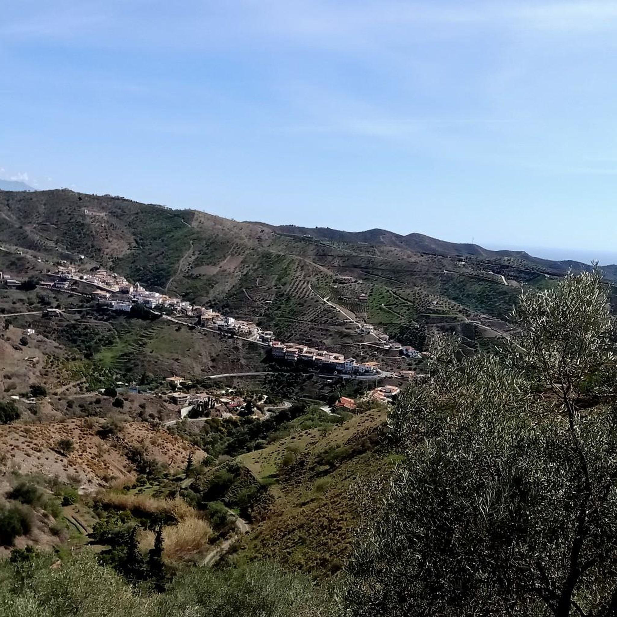
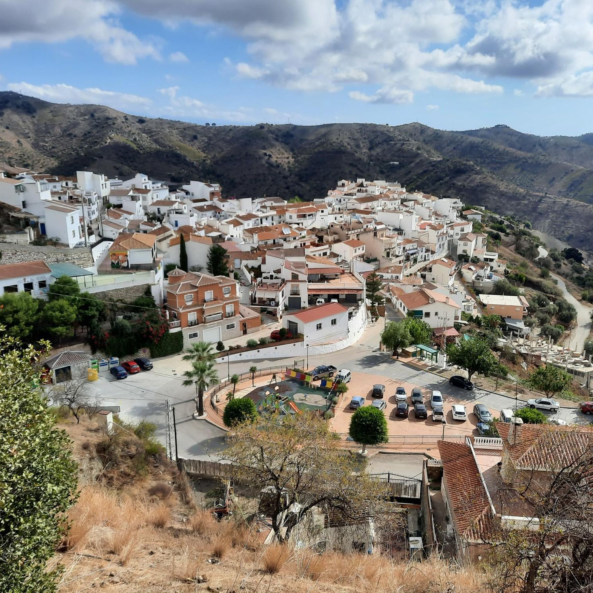
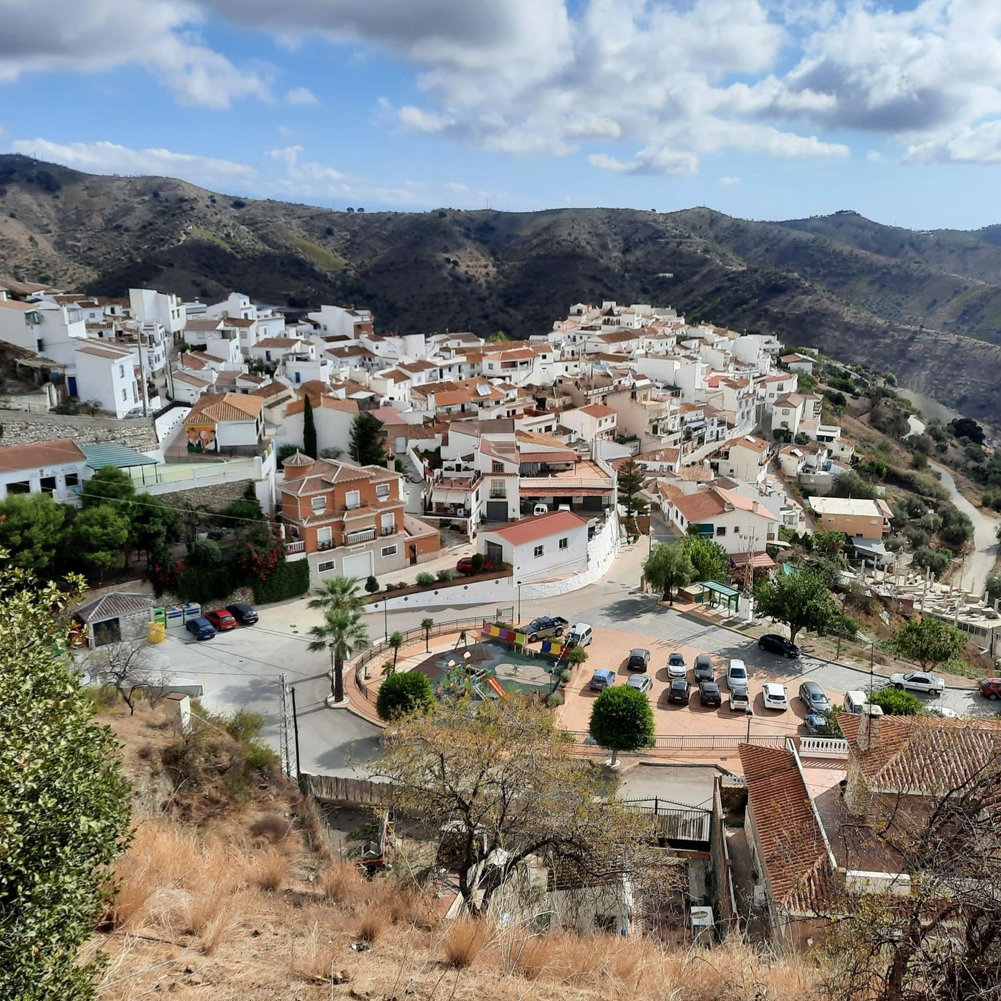
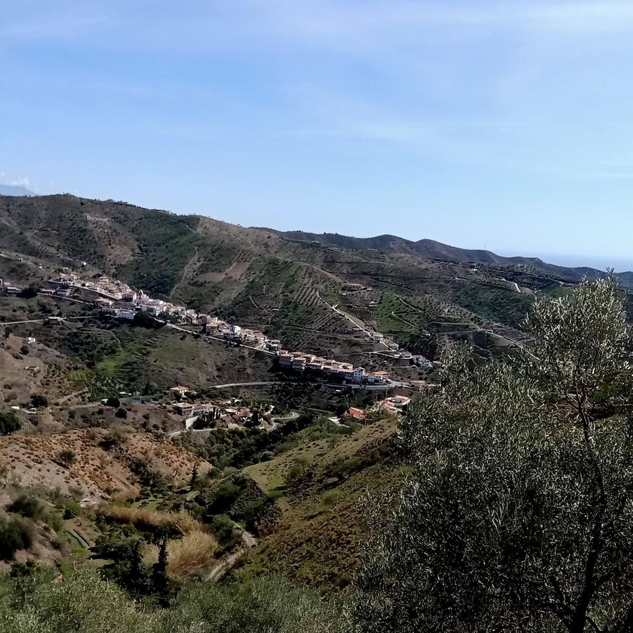
コミュニティからのヒント


A fountain located right on the road, within the village at the exit towards Puerto de la Bolina. An excellent spot to refill your water bottle before continuing the climb.
0
0
A point, a crossroads, with good views.
0
0

The Casa Fuerte Bezmiliana is an 18th-century fortress located in Rincón de la Victoria, Málaga. It was built in 1766 by order of King Charles III to defend the coast from attacks by British and Dutch pirates. Its military design includes a square floor plan, masonry walls, two diagonal turrets, and a moat. After its restoration in 1992, the building was transformed into a cultural center hosting exhibitions and artistic activities.
0
0
A crossroads with good views, a landmark
0
0

The Torre Vigía Manganeta is a historic watchtower on the coast of Almayate Bajo, near the mouth of the Vélez River. It was built in the 16th century during the reign of Philip II as part of the Spanish coastal defense system to protect the region from pirate attacks. Raids by North African corsairs, in particular, made such watchtowers necessary. The cylindrical tower reaches a height of approximately 8 to 10 meters and has a diameter of around 4 meters. It is made of stone and mortar, a typical construction method for coastal watchtowers of that period. Its location near the beach, south of Almayate Bajo and not far from the Vélez River, allowed control of the stretch of coast between Torre del Mar and Benajarafe. Today, the Torre Manganeta is protected as a historical monument and is part of the cultural heritage of Andalusia.
7
0

The 9.6-meter-high old lighthouse, built in 1929, and the new, approximately 24.7-meter-high lighthouse, built in 1974, are still in operation. It is located directly on the promenade and is visible from afar. Its automatic signal has a range of approximately 13 nautical miles. Inside, 106 steps of an iron staircase lead up to the top. The small, 9-meter-high lighthouse, which stands next to the new "large" one, was built in 1969 but did not meet modern requirements.
4
0
The tower is located on the right bank of the Vélez River estuary and dates back to the 16th century. Due to sedimentary deposits over the centuries, the shoreline is now 800 m high and partially submerged by 8 m. It is built of masonry and brick.
3
0
モクリネホでのの人気観光スポット

komootモバイルアプリでインスピレーションを得よう


さらに探索
他の地域の最高のロードサイクリングルートを見てみましょう。
