シャトーブリアンのおすすめライド
4.5
(104)
3,366
ライダー
614
ライド
このガイドでご紹介するのは、komootがシャトーブリアンでのロードバイクルートのコレクション全体を評価して選び抜いた、このエリアの人気バイクライドです。あなたに合ったものを見つけるには、以下のルートをクリックして標高データや舗装状態の分析などの細かな情報を把握し、さらにkomootコミュニティのメンバーが投稿した役立つ情報や写真も閲覧しましょう。
最終更新日: 11月 5, 2026
85
ライダー
15.9km
00:44
120m
120m
初級者向けロードバイクライド. 全般的に舗装状態が良好で走行しやすい道です。
5.0
(2)
89
ライダー
127km
05:36
550m
550m
難しいロードライド. 標準以上のフィットネスレベルが必要です。 ツアーの一部に、未舗装のため走行が難しい箇所があるかもしれません。

39
ライダー
10.8km
00:34
80m
80m
初級者向けロードバイクライド. 全般的に舗装状態が良好で走行しやすい道です。
4.5
(4)
48
ライダー
38.1km
01:34
210m
210m
初級者向けロードバイクライド. 全般的に舗装状態が良好で走行しやすい道です。
24
ライダー
116km
05:00
910m
910m
難しいロードライド. 標準以上のフィットネスレベルが必要です。 全般的に舗装状態が良好で走行しやすい道です。
4.5
(2)
27
ライダー
55.3km
02:16
250m
240m
中程度のロードライド. ある程度のフィットネスレベルが必要です。 ツアーの一部に、未舗装のため走行が難しい箇所があるかもしれません。
20
ライダー
65.2km
02:53
530m
530m
中程度のロードライド. ある程度のフィットネスレベルが必要です。 全般的に舗装状態が良好で走行しやすい道です。
4.5
(2)
34
ライダー
114km
05:27
700m
700m
難しいロードライド. 標準以上のフィットネスレベルが必要です。 ツアーの一部に、未舗装のため走行が難しい箇所があるかもしれません。
4.0
(2)
20
ライダー
31.5km
01:17
140m
140m
初級者向けロードバイクライド. 全般的に舗装状態が良好で走行しやすい道です。
17
ライダー
79.7km
03:37
450m
450m
中程度のロードライド. ある程度のフィットネスレベルが必要です。 全般的に舗装状態が良好で走行しやすい道です。
さらに多くのルートや他のユーザーのおすすめ情報を確認できます。
すでにアカウントをお持ちですか?
おすすめのツアーは他のkomootユーザーが実際に経験した何千ものアクティビティに基づいています。


シャトーブリアンでのの他の冒険


コミュニティからのヒント

エルドル川の「真珠」と称されるシュセ=シュル=エルドル港は、賑やかなテラスとプレジャーボートが緑豊かで平和な環境で隣り合っている、見逃せない魅力的な寄港地です。ここは、岸壁に沿って散策したり、フランスで最も美しい川の一つを発見するために、水上での小旅行に出かけたりするのに理想的な出発点です。
0
0

伝説によれば、この場所は、夕べの祈りに行く代わりに荒野で踊っていた若い娘たちが石に変えられた場所だとされています。 この伝説は、当時のブルターニュ地方(Haute Bretagne)に多く見られた異教に対抗するため、17世紀に教会によって作られました。
0
0

ムーアイゼンの方々、ごめんなさい...
0
0

In 832, Conuvoion, a Breton monk, founded the Abbey of Saint-Sauveur in Redon with the support of the Carolingian Emperor Louis the Pious. A small rural community slowly grew up around the abbey. During the Middle Ages, the town benefited from its location on the Vilaine River, as trade goods could be transported upstream to Redon on ocean-going vessels. There, the goods were transshipped and transported further on inland waterway barges towards Rennes, the capital of Brittany. In the 19th century, Redon experienced another period of prosperity with the construction of the Nantes-Brest Canal. Even today, the old shipowners' houses and the large harbor basin bear witness to its history as a trading port.
1
0

Fishing pond on the edge of the forest. Hiking trails start from here. Toilets with drinking water.
0
0
While the place of worship dates back to the 10th century, the church in its current form dates from the mid-19th century. Numerous shops and restaurants are located nearby.
0
0

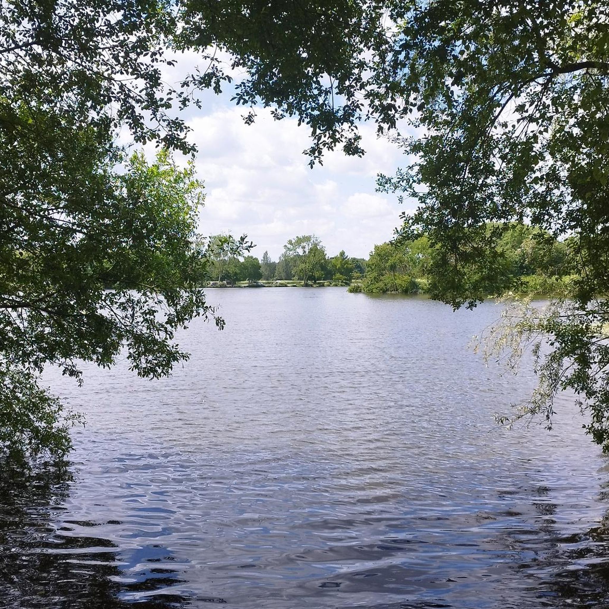
The west bridge of Lake Voireau offers a beautiful, unobstructed view of the reservoir. The largest body of water in Loire-Atlantique, this lake stretches through the heart of the forest. Its wooded banks and landscaped beaches make it a pleasant stopover for a nature break or a swim.
0
0

Even at 6 a.m. super pleasant and very smooth
0
0
シャトーブリアンでのの人気観光スポット

komootモバイルアプリでインスピレーションを得よう


探していたものは見つかりませんでしたか?
シャトーブリアンの下にある他のロードサイクリングルートをチェックして、目的地で完璧なルートを見つけましょう。
さらに探索
他の地域の最高のロードサイクリングルートを見てみましょう。
