ヴエンハイムのおすすめウォーキング&ハイキングルート
4.6
(593)
3,179
ハイカー
65
ハイキング
ヴエンハイム周辺でのハイキングは、景色を満喫するのに最適な手段のひとつですが、適切なハイキングルートを見つけることは簡単ではありません。 ヴエンハイム周辺の人気ハイキング&ウォーキングコースを参考にすれば、行きたいルートをすぐに見つけられます。
最終更新日: 10月 1, 2026
4.7
(12)
63
ハイカー
4.55km
01:14
60m
60m
初級者向けハイキング. あらゆるフィットネスレベルに適しています。 進みやすいルートです。あらゆるスキルレベルに適しています。
5.0
(8)
43
ハイカー
18.3km
05:30
580m
570m
難しいハイキング. 標準以上のフィットネスレベルが必要です。 進みやすいルートです。あらゆるスキルレベルに適しています。

5.0
(5)
16
ハイカー
7.17km
02:41
460m
460m
中程度のハイキング. ある程度のフィットネスレベルが必要です。 全般的に進みやすいルートです。安定して歩行できる技術が必要です。
5.0
(1)
19
ハイカー
7.47km
02:35
410m
410m
中程度のハイキング. ある程度のフィットネスレベルが必要です。 全般的に進みやすいルートです。安定して歩行できる技術が必要です。
22
ハイカー
18.0km
05:44
720m
720m
難しいハイキング. 標準以上のフィットネスレベルが必要です。 全般的に進みやすいルートです。安定して歩行できる技術が必要です。
さらに多くのルートや他のユーザーのおすすめ情報を確認できます。
すでにアカウントをお持ちですか?
おすすめのツアーは他のkomootユーザーが実際に経験した何千ものアクティビティに基づいています。
無料アカウントで今日から始めよう
次の冒険が待っています。

コミュニティからのヒント


Even in pre-Christian times, it was customary in various cultures to ask pagan deities for assistance before a battle, as well as to thank them for (presumed) divine assistance after a victory. In a modified form, this cult also appears in medieval Christianity, where military successes were attributed not only to the soldiers' fighting skills or the strategy of their leaders, but also to thank the Mother of God for the heavenly assistance—which had previously been requested.
0
0

For several years now, the reintroduction of storks on the territory of the municipality of Soultz-Haut-Rhin has been a fact: the chimneys are now populated by these birds again. You can watch them for hours.
7
0
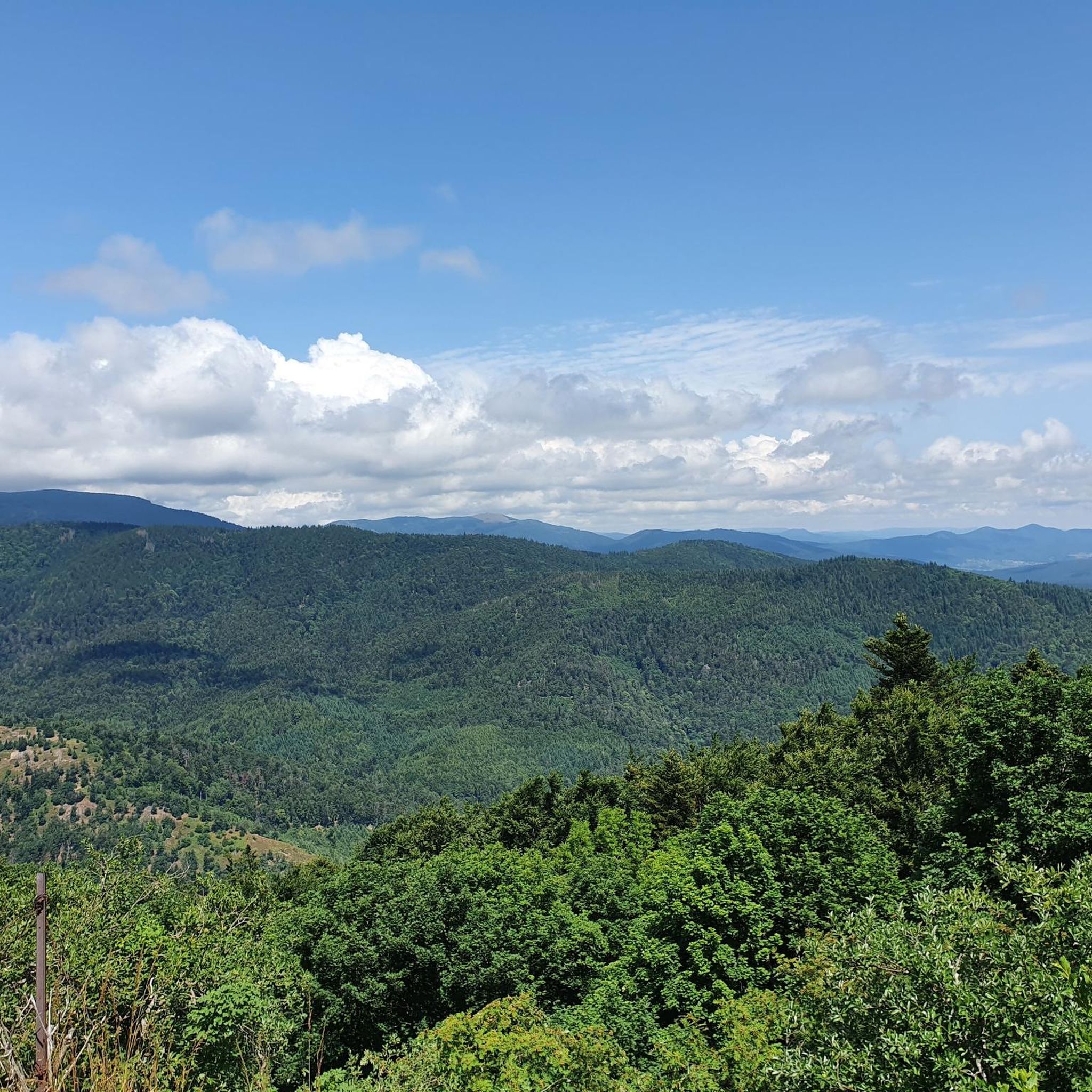
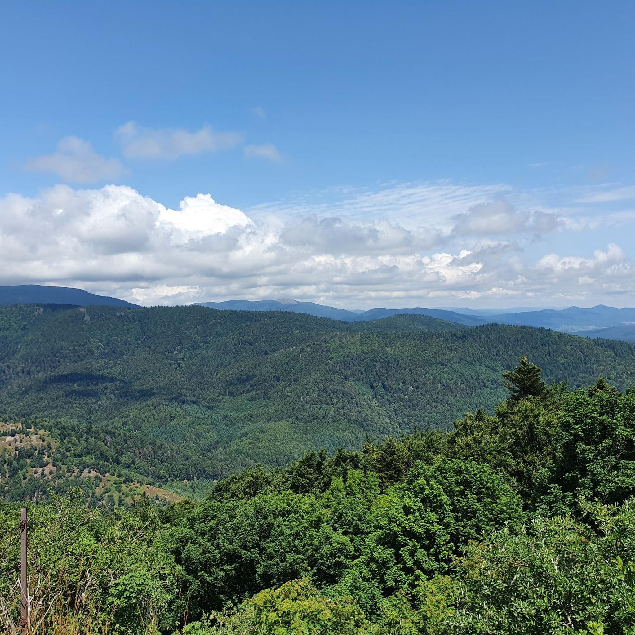
Vieil Armand, also known as Hartmannswillerkopf, is a striking mountain peak in the southern Vosges, near the Col Amic. This place is not only popular with cyclists because of the challenging climb and the panoramic view of the Rhine plain, but also an important historical monument. During the First World War, fierce fighting took place here between French and German troops, resulting in a static trench warfare. Today, the area is a national memorial with a crypt, military cemetery and well-preserved trenches. The climb to Vieil Armand via the Col Amic is not only sportingly rewarding, but also impressive because of the historical significance of the landscape.
6
0
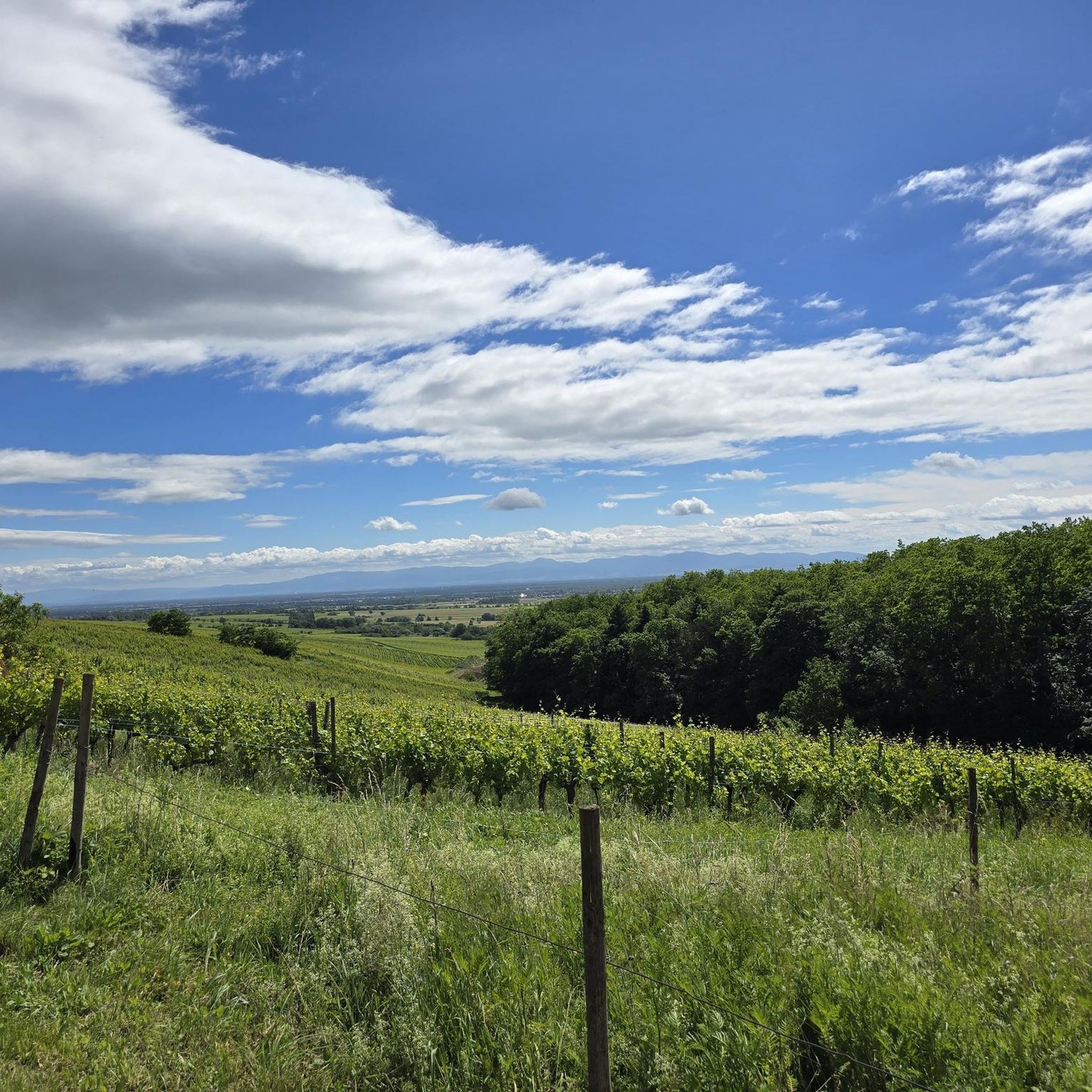
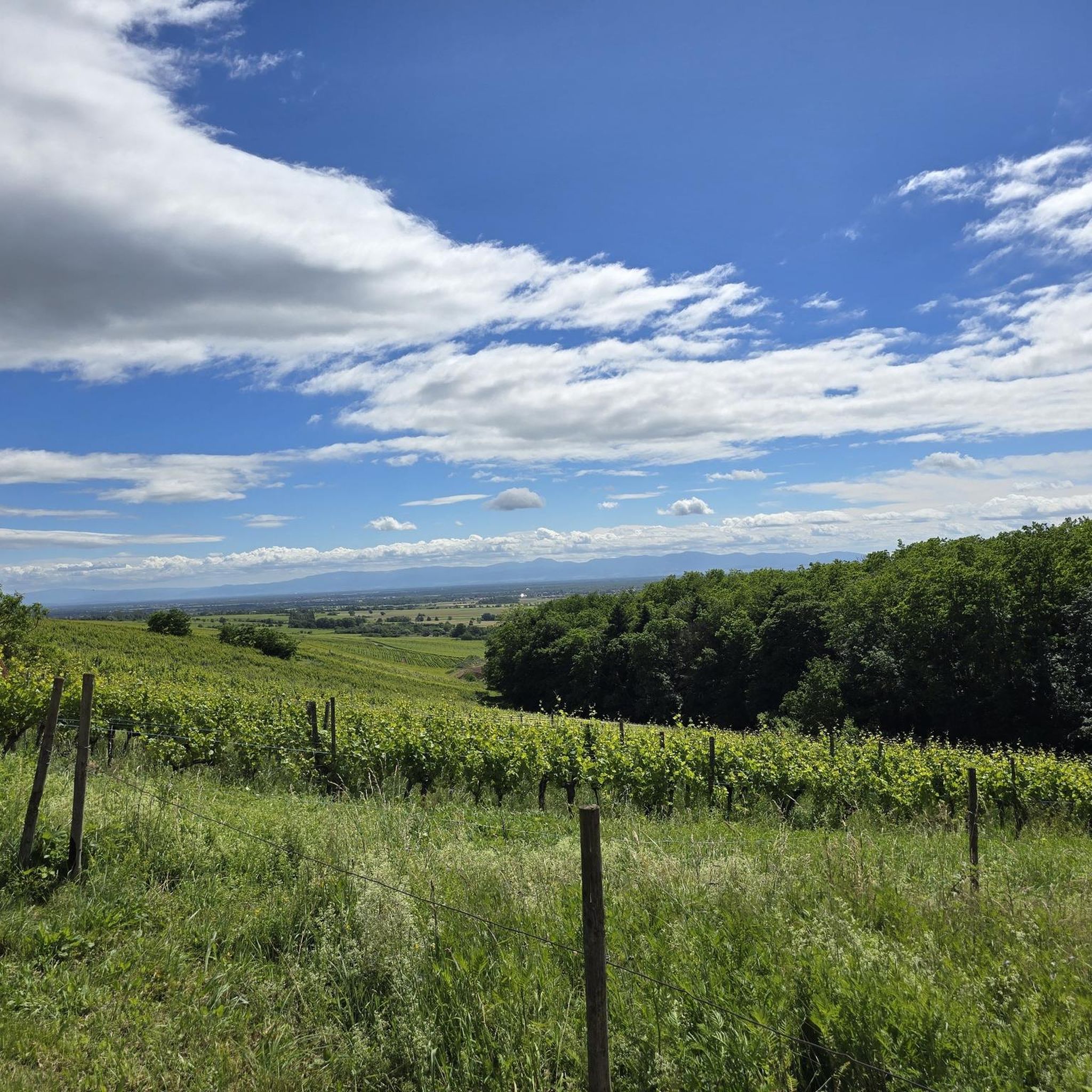
The climb of the Col Amic from Soultz-Haut-Rhin is a beautiful and accessible climb in the Vosges, ideal for cyclists who love regularity and nature. The climb is 12.1 km long, bridges 559 meters of altitude and has an average gradient of 4.6%. The route winds through a quiet, wooded area and offers beautiful views of the Alsatian plain along the way. The summit is at 829 meters and forms a junction towards the Grand Ballon or the Hartmannswillerkopf massif. Thanks to its even profile, this climb is suitable for both recreational cyclists and athletic climbers.
8
0

A must-see place in the truest sense of the word, a whole page of French history lies before your eyes and reminds everyone that those who fought and died here did so for all of us...
0
0

komootモバイルアプリでインスピレーションを得よう


さらに探索
他の地域の最高のハイキングを見てみましょう。
