サンテティエンヌエストレシューのおすすめウォーキング&ハイキングルート
4.3
(365)
1,966
ハイカー
155
ハイキング
サンテティエンヌエストレシュー周辺でのハイキングは、景色を満喫するのに最適な手段のひとつですが、適切なハイキングルートを見つけることは簡単ではありません。 サンテティエンヌエストレシュー周辺の人気ハイキング&ウォーキングコースを参考にすれば、行きたいルートをすぐに見つけられます。
最終更新日: 9月 1, 2026
4.7
(15)
58
ハイカー
11.7km
04:03
630m
630m
Hike the moderate 7.3-mile Le Devois Loop in Parc naturel régional du Haut-Languedoc, featuring panoramic views from Mont Cabanes.
4.5
(6)
73
ハイカー
13.2km
04:02
450m
450m
中程度のハイキング. ある程度のフィットネスレベルが必要です。 進みやすいルートです。あらゆるスキルレベルに適しています。

無料新規登録
3.3
(3)
17
ハイカー
15.1km
04:23
400m
400m
中程度のハイキング. ある程度のフィットネスレベルが必要です。 進みやすいルートです。あらゆるスキルレベルに適しています。
5.0
(3)
13
ハイカー
5.14km
01:31
150m
150m
初級者向けハイキング. あらゆるフィットネスレベルに適しています。 進みやすいルートです。あらゆるスキルレベルに適しています。
5.0
(1)
9
ハイカー
8.54km
02:25
180m
190m
中程度のハイキング. ある程度のフィットネスレベルが必要です。 進みやすいルートです。あらゆるスキルレベルに適しています。
さらに多くのルートや他のユーザーのおすすめ情報を確認できます。
無料新規登録
すでにアカウントをお持ちですか?
おすすめのツアーは他のkomootユーザーが実際に経験した何千ものアクティビティに基づいています。
無料アカウントで今日から始めよう
次の冒険が待っています。
ログインまたは登録
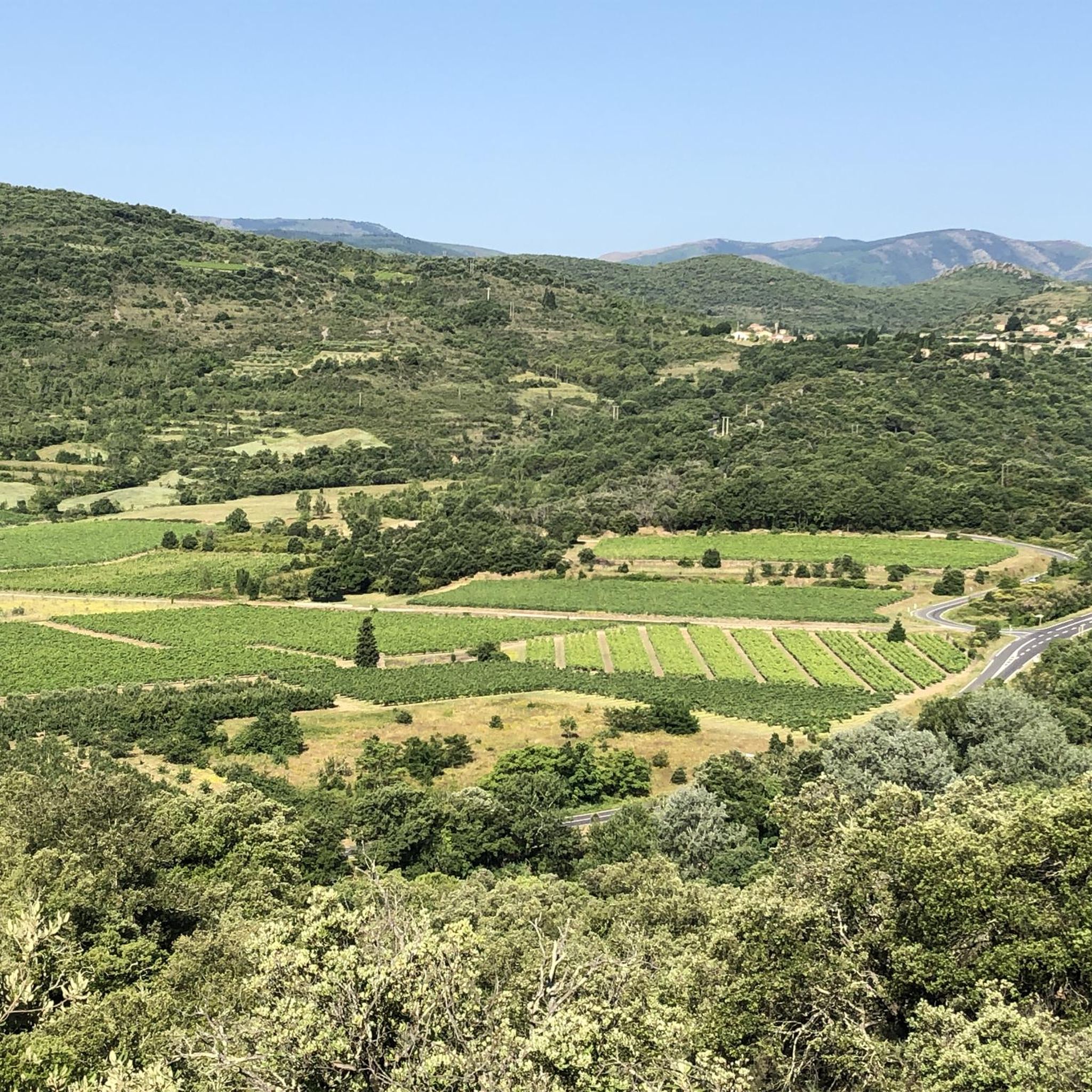
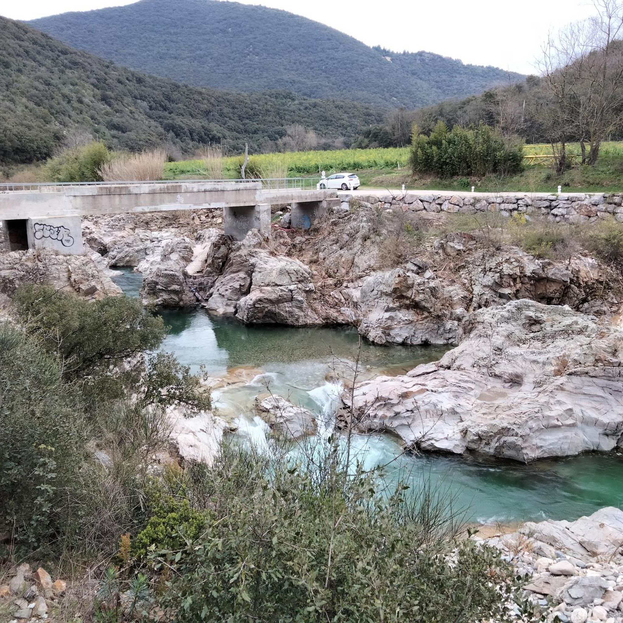
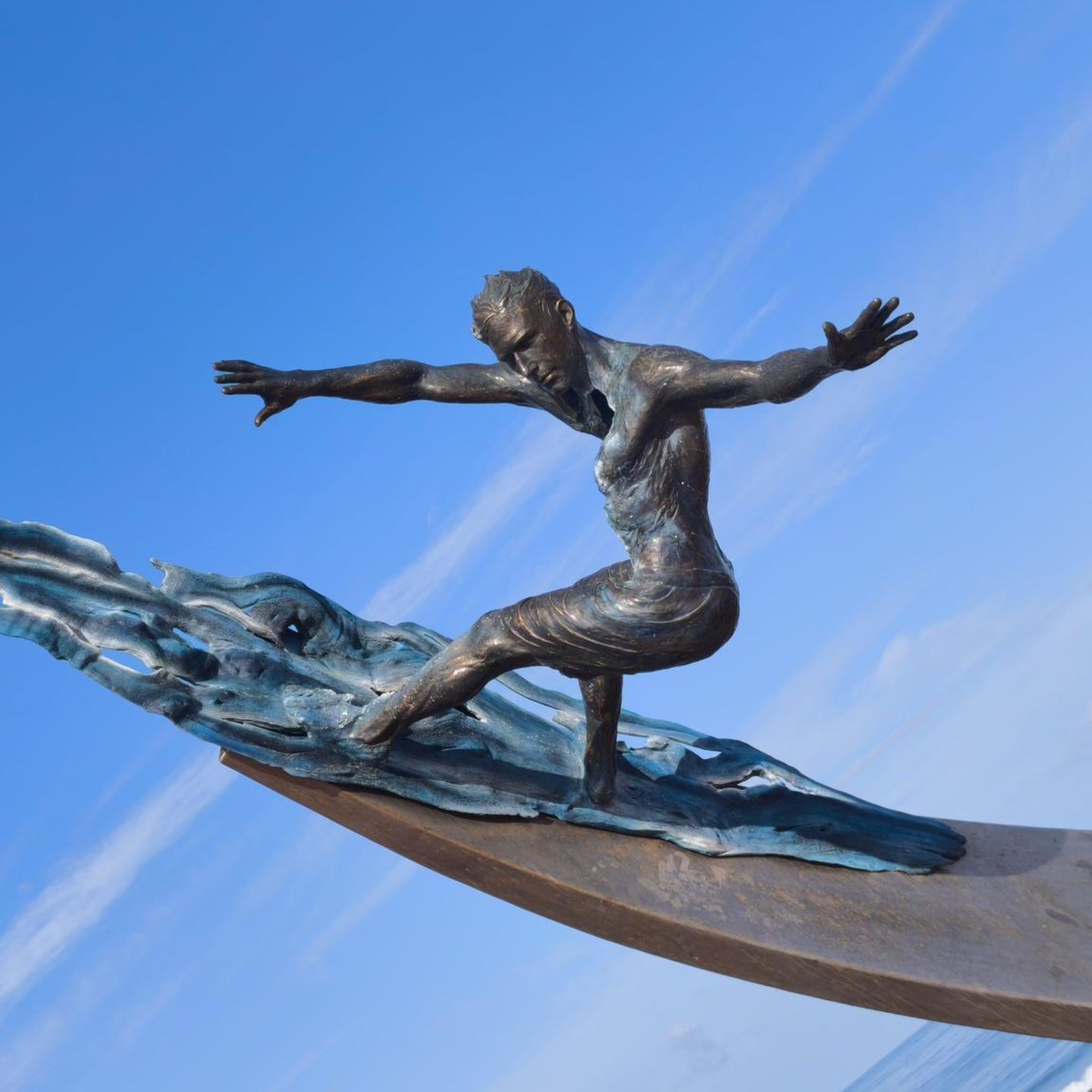
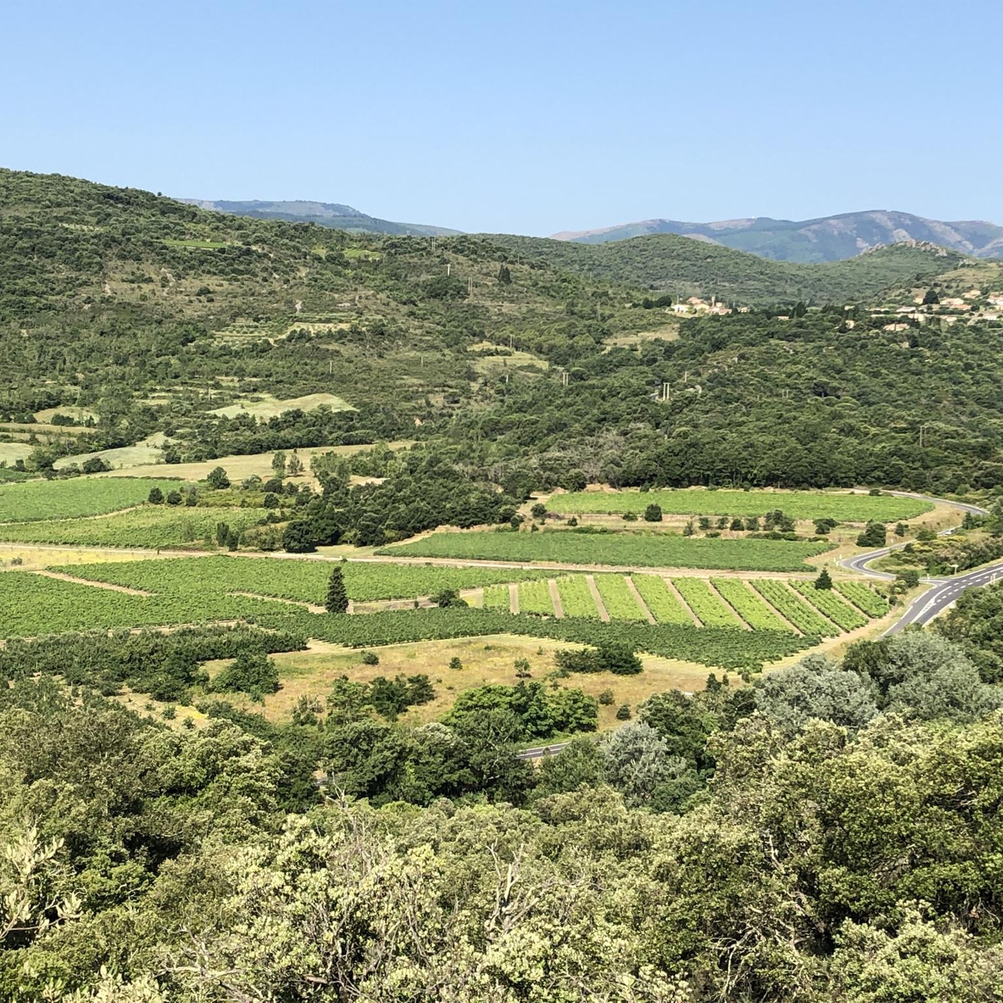
コミュニティからのヒント

アクセス可能で整備された小さな地元の頂上には、360°の山塊と関心のある地点を示すオリエンテーションテーブルがあります。
1
0


Boussagues is an enchanting medieval village, which seduces with its well-preserved historical heritage. Nestled in a bucolic setting, you can stroll through cobbled streets, among stone houses and the remains of fortifications.
0
0


The village of Boussagues is worth the detour, especially since the roads leading to it are not very busy. Solidly set back from the valley of the Orb, this fortified medieval city is no more than a small village dozing under the weight of its past, to which its old walls, its medieval buildings and other vestiges still bear witness, signs of a distant power and a long history. Boussagues has two 12th century castles, a Renaissance manor, and two churches. Inside, ramparts, many typical alleys and pediments of buildings relate the past grandeur of the place. In particular, the Bailli's house which belonged to the famous painter Henri de Toulouse Lautrec. The city of Boussagues appeared in 1117 in the foothills of the Cévennes, which protected it from the Greeks and the Tramontane. Significant mining resources (silver then coal), easy-to-work building materials, water, wood, hillsides allowed continuous growth until the middle of the 14th century. Boussagues thus counted up to 1,500 souls at its peak. The city had all the civil, religious and military organization of the Middle Ages: lords, consuls, workers, notaries, hospital, bailiff, garrison, etc., allowing it to administer the entire Upper Orb Valley. Having lost almost two thirds of its population after the great plague of 1348, it seemed to recover with more than 1000 inhabitants in 1364, but it then declined slowly to only have around 400 souls during the Revolution. Boussagues ended up losing its status as chief town of the canton in 1884 to become just a simple hamlet in the commune of La Tour sur Orb. One of the stones embedded in the walls of the church (I haven't seen it, but maybe you can find it?) bears the following epitaph which seems to be that of the village: "O man, what are you looking at ? What I was, you are, what I am, you will be.
0
0

サンテティエンヌエストレシューでのの人気観光スポット

komootモバイルアプリでインスピレーションを得よう


さらに探索
他の地域の最高のハイキングを見てみましょう。
