ワイラーのおすすめツーリングルート
4.4
(1027)
16,089
ライダー
13
ライド
ワイラー周辺でのおすすめのサイクリングルートを参考にして、このエリアを最大限に楽しみましょう。ここでご紹介するのは、ワイラー周辺の人気バイクライドです。ぜひ、自分に合ったルートを見つけてください。
最終更新日: 10月 29, 2026
5.0
(1)
250
ライダー
17.7km
01:25
460m
460m
難しい自転車ライド. 標準以上のフィットネスレベルが必要です。 ほとんどが舗装路です。
1.0
(1)
87
ライダー
17.0km
01:19
410m
410m
中程度の自転車ライド. ある程度のフィットネスレベルが必要です。 ほとんどが舗装路です。

13
ライダー
56.8km
03:23
280m
280m
中程度の自転車ライド. ある程度のフィットネスレベルが必要です。 ほとんどが舗装路です。
5.0
(1)
12
ライダー
47.7km
03:57
910m
910m
難しい自転車ライド. 標準以上のフィットネスレベルが必要です。 ほとんどが舗装路です。
4.8
(5)
42
ライダー
23.5km
01:27
200m
200m
中程度の自転車ライド. ある程度のフィットネスレベルが必要です。 ほとんどが舗装路です。
さらに多くのルートや他のユーザーのおすすめ情報を確認できます。
すでにアカウントをお持ちですか?
おすすめのツアーは他のkomootユーザーが実際に経験した何千ものアクティビティに基づいています。
無料アカウントで今日から始めよう
次の冒険が待っています。

コミュニティからのヒント

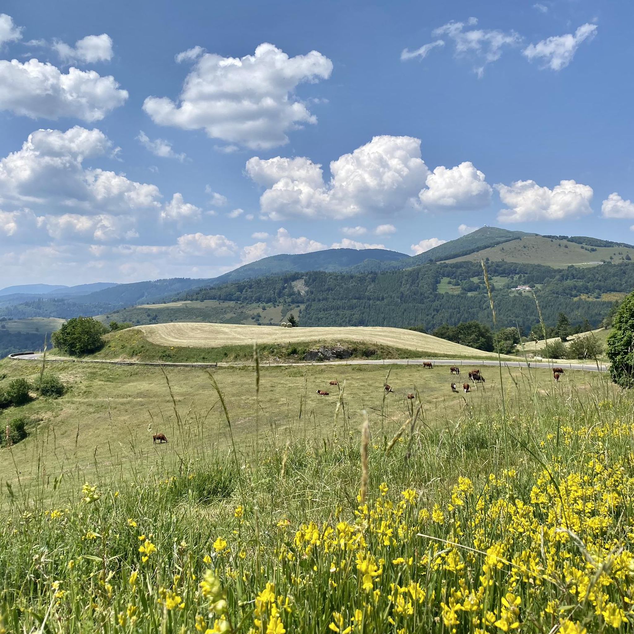
フルンシュリュック峠(748m)は、ヴィレール=シュル=テュールの上にある、静かで緑豊かな峠です。緩やかな登りと美しい自然が、この峠を南ヴォージュ山脈の快適な定番ルートにしています。テュール谷とドール谷の両方への接続も可能です。
6
0
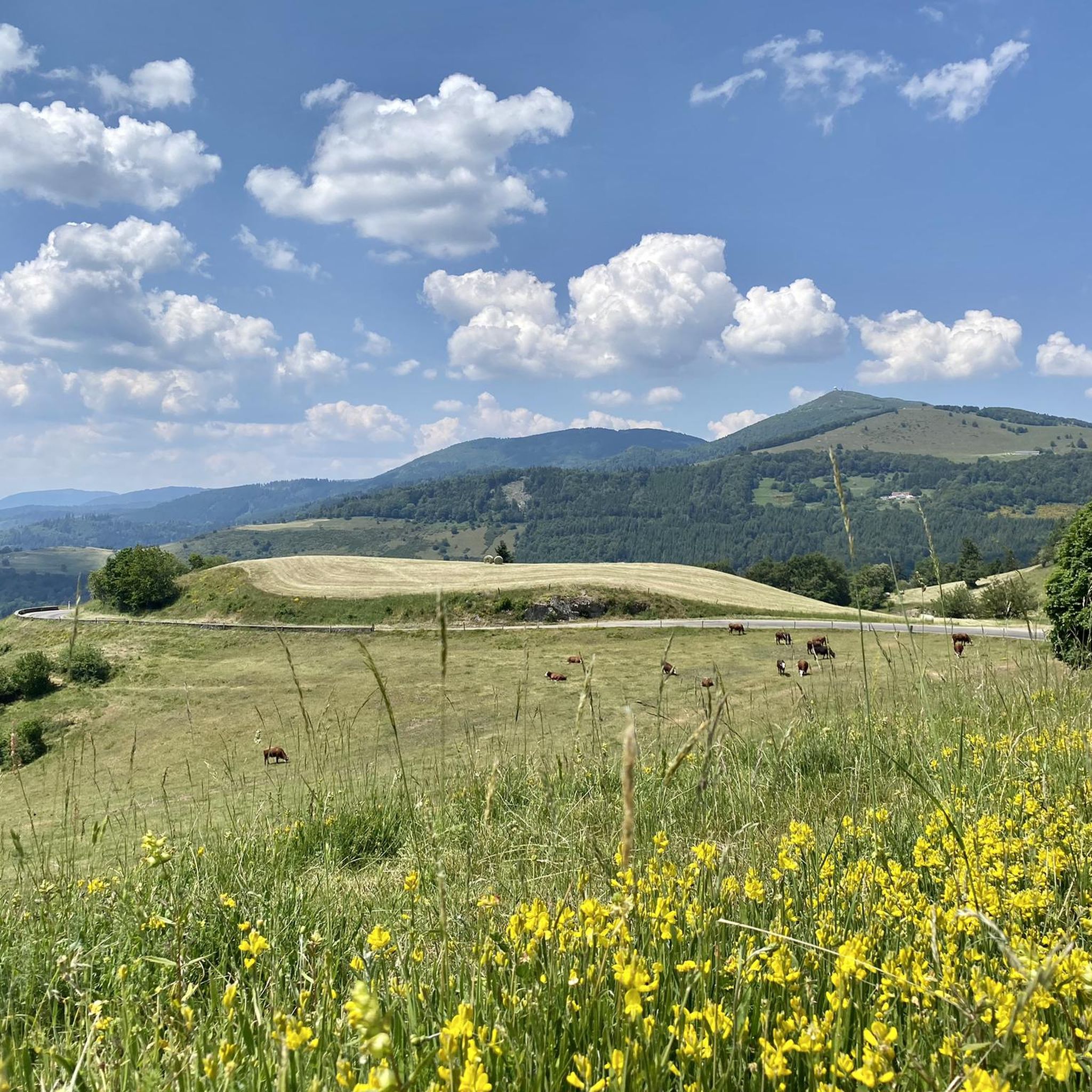
コル・デ・オデレンは8.2キロメートルの登りです。これはカテゴリー3の登りです。フランス、ロレーヌ地方、コルニモンにあります。この登りの平均勾配は3.9%で、最大勾配は6%です。コル・デ・オデレンは、開始地点の標高573メートルから頂上の885メートルまで、合計312メートルの標高差があります。
7
0


Willer sur Thur自治体による親切なサービスです。この自転車修理ステーションは、Rue du Vieil ArmandとRue Maréchal Fochの間にあるかつての洗濯小屋のそば、Le Wissbachのすぐそばにあります。修理ステーションには工具と空気入れが備え付けられています。
0
0

Thann's sloping vineyards are famous for their south-facing orientation with slopes that can reach 45°, offering spectacular and dizzying landscapes. These hillsides, located between 350 and 450 meters above sea level, extend over an area of 22 hectares and are renowned for their volcanic terroir and their proximity to the Thur River, which provides the humidity necessary for the grapes to ripen. Among the grape varieties cultivated are Riesling, Pinot Gris, Gewürztraminer, and Muscat, all grown in often rocky and well-exposed soil, which gives the wines great finesse. Viticulture on these steep terrains requires harvests that are often carried out with ropes to ensure safety on these very steep slopes. These vineyards, particularly the Grand Cru Rangen, are among the most emblematic of the region.
0
0
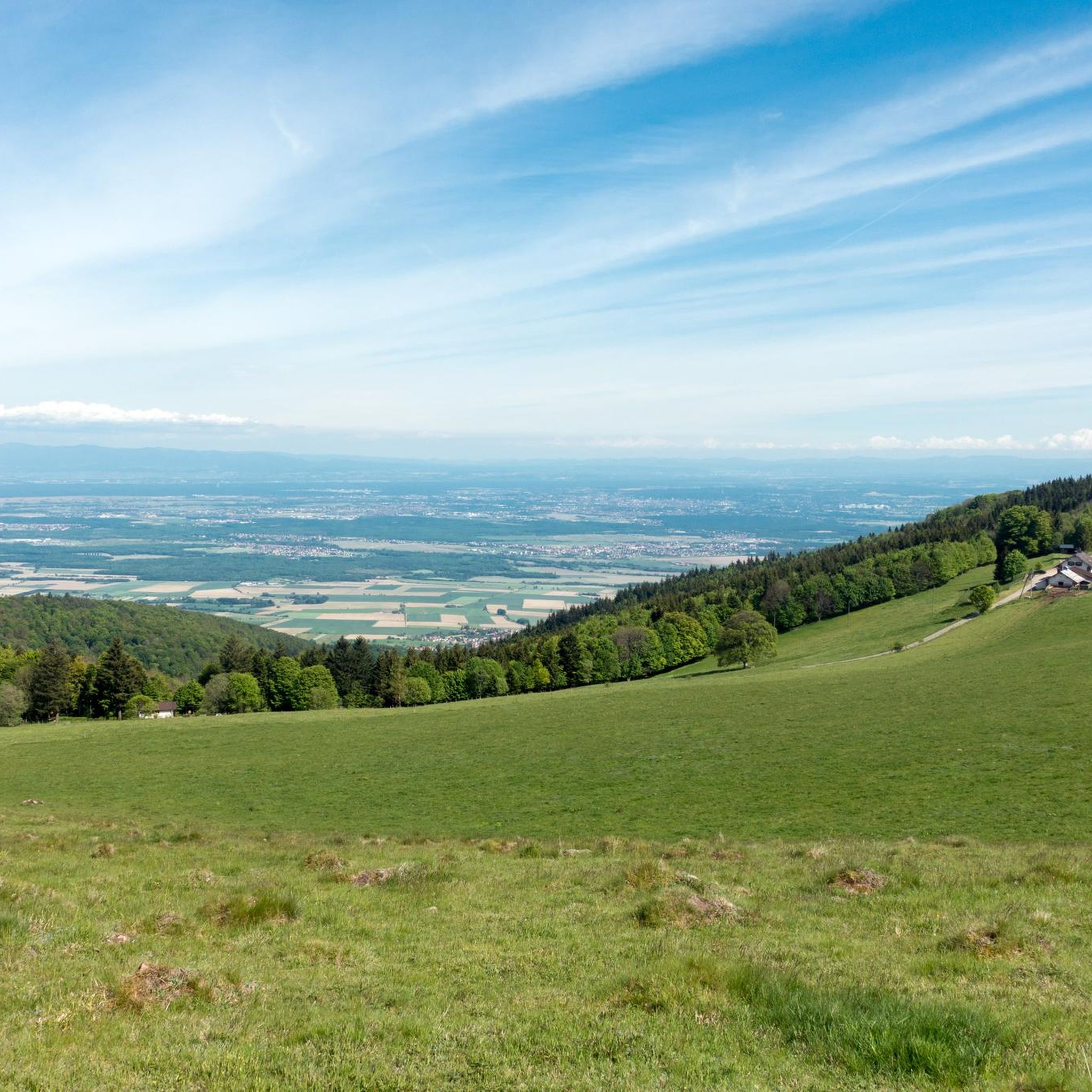
The climb of the Col Amic from Soultz-Haut-Rhin is a beautiful and accessible climb in the Vosges, ideal for cyclists who love regularity and nature. The climb is 12.1 km long, bridges 559 meters of altitude and has an average gradient of 4.6%. The route winds through a quiet, wooded area and offers beautiful views of the Alsatian plain along the way. The summit is at 829 meters and forms a junction towards the Grand Ballon or the Hartmannswillerkopf massif. Thanks to its even profile, this climb is suitable for both recreational cyclists and athletic climbers.
8
0

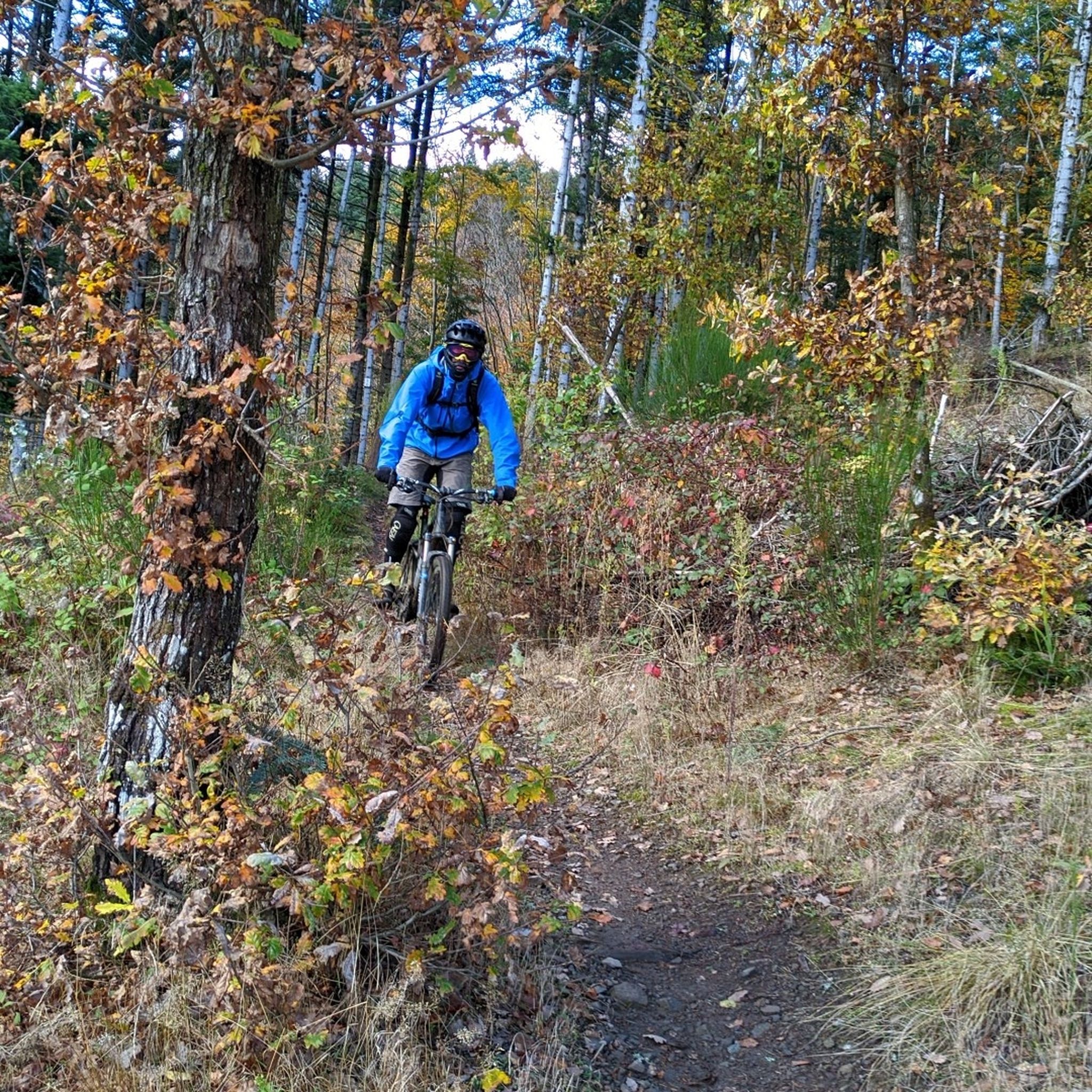
Very nice passage along the Thur river. Hilly route towards Lake Wildenstein-Kruht A tarmac road for all audiences I recommend the lunch break at the Kruht Lake Inn.
0
0

Beautiful little town, nice for having a drink on a terrace.
1
0

komootモバイルアプリでインスピレーションを得よう


さらに探索
他の地域の最高のサイクリングルートを見てみましょう。
