ルート

プランナー

機能

アップデート

App

ログインまたはサインアップ

アプリを入手

ログインまたはサインアップ

ルート
Places to see
フランス
ペイ・ド・ラ・ロワール
ナント

トライリエール

トライリエール周辺のアトラクション&必見スポット - トップ20


トライリエールには必見のスポットがたくさんあります。ハイキング愛好家やサイクリング愛好家の方は、ぜひトライリエールを探索してこのエリアにある20
の隠れたスポットを訪れてみてください。このエリアの必見スポットを確認し、次の冒険に出かける計画を立てましょう。

最終更新日: 8月 2, 2026

スセ=シュル=エルドルのプレジャーポート

ハイライト • 構造物

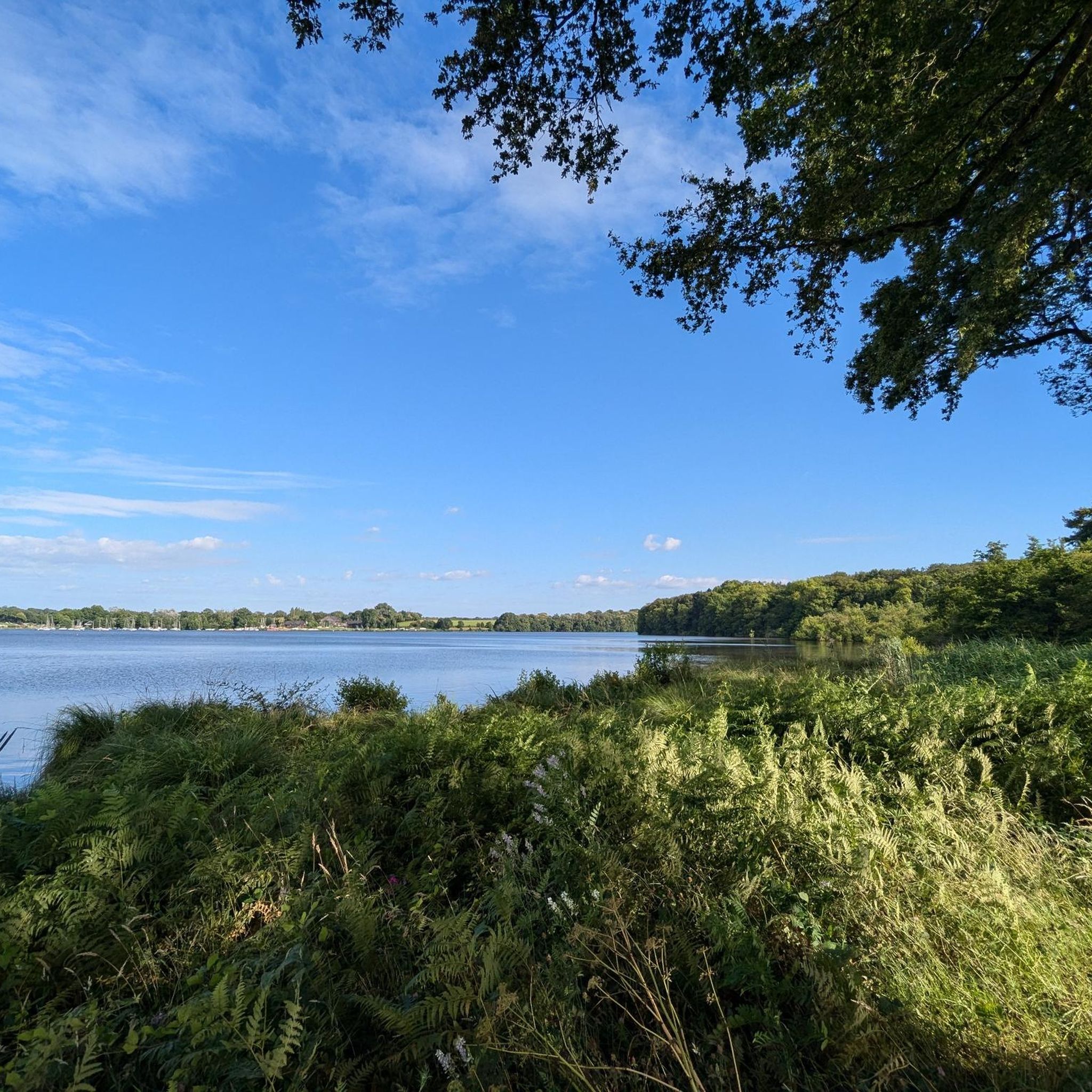
Pleasant body of water bordered by a few restaurants and cafes. Ideal for a picnic or a break with your feet in the water. For swimming, find out because the water can be bad.

翻訳者 Google •

役立つ情報

によるものです

ここでのライドを見る

スマートフォンに送信

保存

If possible, put your bikes down and take one of the little lanes between two restaurants. There, you will really discover Trentemoult, a charming village with its narrow streets and …

翻訳者 Google •

役立つ情報

によるものです

保存

今すぐサインアップして、こんな場所を発見しよう

最高のシングルトラック、ピーク、その他のエキサイティングなアウトドアスポットのおすすめを受け取ろう。

無料新規登録

ザ・リングス

ハイライト • 記念碑

It is at night that this work reveals all its magical beauty! Their shape and location are reminiscent of mooring rings. This contemporary installation is the fruit of the imagination …

翻訳者 Google •

役立つ情報

によるものです

保存

黄色いタイタン・クレーン

ハイライト • 記念碑

One of two listed port cranes - this yellow one is the better known of them - you can spot it on many postcards.

翻訳者 Google •

役立つ情報

によるものです

保存

エルドレ川

ハイライト • 展望台

The Erdre is a direct tributary of the Loire which crosses the city center of Nantes. Just before flowing into the "wildest river in Europe", the Erdre is channelled. During …

翻訳者 Google •

役立つ情報

によるものです

保存

無料でサインアップして、さらに多くの観光スポットを発見しましょう トライリエールでの。

無料新規登録

すでにアカウントをお持ちですか?

無料アカウントで今日から始めよう

次の冒険が待っています。

ログインまたは登録

トライリエール周辺で人気

トライリエールのランニングコース

トライリエールでののグラベルライド

トライリエールでのハイキング

トライリエールでのサイクリング

トライリエールのロードバイクルート

トライリエールのMTBトレイル

コミュニティからのヒント

Raphaël "1969"
6月 20, 2026, L'Erdre

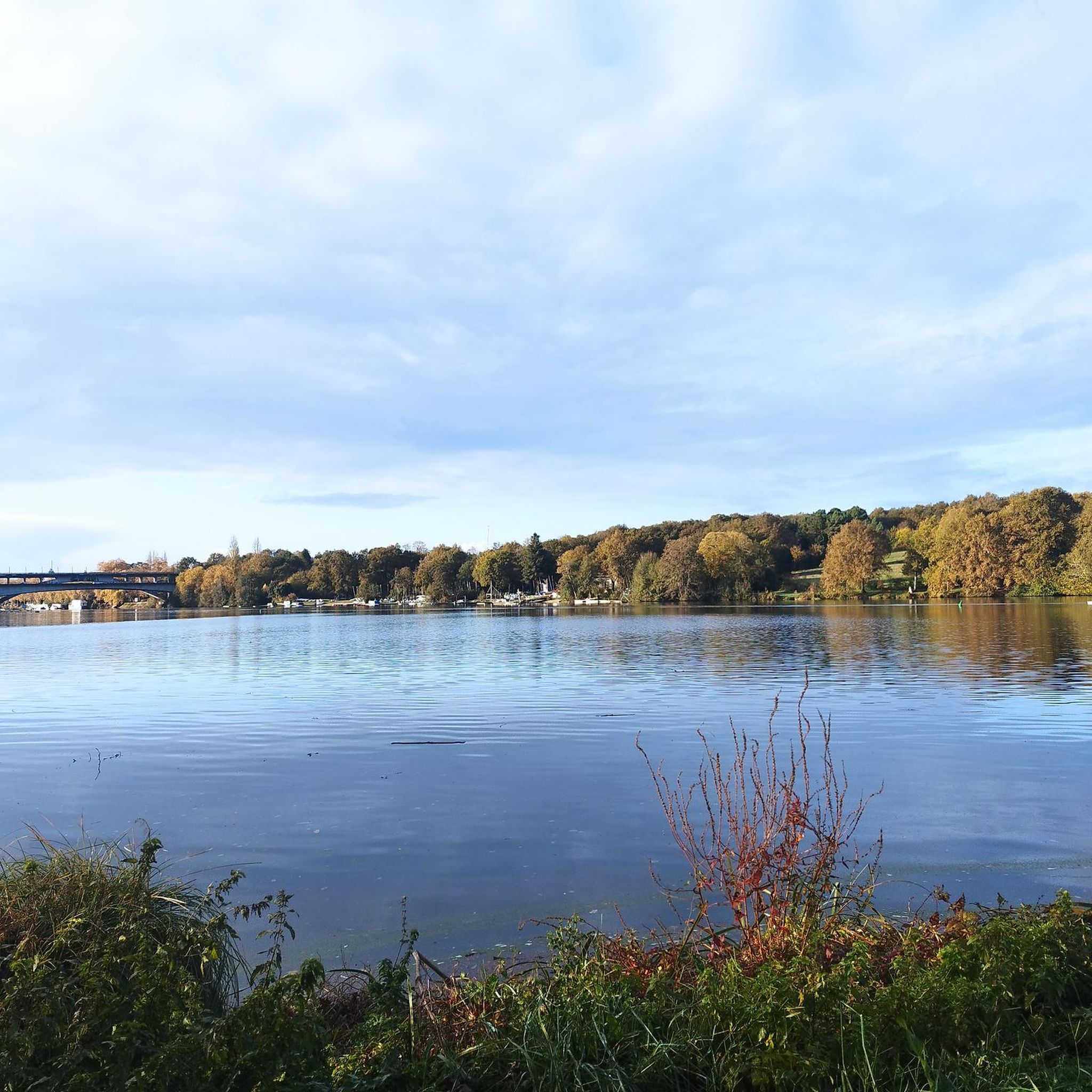
フランソワ1世によって「フランスで最も美しい川」と称されたエルドル川は、ロワール川の支流であり、緑豊かな風景、一流の城が点在する岸辺、そして穏やかな水面がプレジャーボートに最適で魅了します。

Google翻訳による翻訳

0

0

Mac
6月 15, 2025, Grue Titan Jaune

The last landmark of the Nantes shipyards.

Google翻訳による翻訳

0

0

Fred
10月 14, 2024, L'Erdre

Magnificent route, but as said above, preferably to be done outside of peak periods.

Google翻訳による翻訳

1

0

On of the two iconic harbour cranes of the city and the one easier to reach by a walk from the centre. Quite impressive to stand below this huge structure.

2

0

One of the most beautiful places in Nantes, but also one of the most touristic. To visit with respect for its inhabitants.

Google翻訳による翻訳

0

0

SimonWicart
6月 4, 2023, L'Erdre

The Erdre is a direct tributary of the Loire which crosses the city center of Nantes. Just before flowing into the "wildest river in Europe", the Erdre is channelled. During the beautiful summer days, it becomes a holiday resort for Nantes residents in search of improvised aperitifs.

Google翻訳による翻訳

1

0

Bambou
2月 10, 2023, L'Erdre

Very nice route on the banks of the Erdre but to be avoided on weekends (many pedestrians and sometimes very narrow path...)

Google翻訳による翻訳

0

0

Sucé-sur-Erdre is located about 15 kilometers north of Nantes on the banks of the Erdre river. The municipality has a port on the river, which widens a few kilometers north to Lac de Mazerolles, on the west bank of which begins the 11.3 km² Mazerolles bog. The name of the municipality, first mentioned in the 10th century, comes from the Latin sulcus, which means furrow in German, and from the Celtic erdam, which means small river. Sucé was a stronghold of Calvinist preachers in the 16th and 17th centuries. Under Charles IX, during the First Huguenot War, Huguenots, who were forbidden to practice their religion in Nantes, retreated to Sucé and built a fortified meeting place there, of which only the Tour Gaillard remains today. The Bishop of Nantes ordered its destruction in 1677. Source: Wikipedia

Google翻訳による翻訳

4

0

トライリエールでのの人気ルート

トライリエールのランニングコース

トライリエールでのの人気観光スポット

Castles

Store rating

komootモバイルアプリでインスピレーションを得よう

無料のkomootアカウントがあれば、無限のアウトドアコースを簡単に見つけてカスタマイズし、ナビで案内できます。

または

今すぐkomootに参加しよう

Store rating

さらに探索

まだ探しているハイライトが見つかりませんか?他の地域のトップアトラクションのガイドを見てみましょう:

バス=グレーヌサント=リュス=シュル=ロワールサンセバスティアンシュールロワールヴェルトゥーオート=グレーヌサンジュリアンドコンセルレゼThouaré-Sur-Loireカルクフーレソリニエールラ・シュヴロリエールオルヴォーサンテニャングランリューポンサンマルタンLa Chapelle-Sur-Erdreグランシャン=デ=フォンテーヌル・ビニョンル・ロルー・ボテローMaisdon-Sur-Sèvreモニエールラ・シャペル=ウランル・パレットブーグネSucé-Sur-ErdreソトロンVigneux-De-Bretagneモーヴ=シュル=ロワールモンベールラモンターニュサンテルブランアンドルクエロンブエイサンジャンドボワゾーサンレジェールレヴィーニュシャトー・テボーサンフィアクルシュルメインLaHaie-FouassièreAigrefeuille-Sur-Maineポールサンペールサン=マルス=ド=クテサンフィルベールドグランリューCheix-En-RetzサントパザンヌジュネストンムジーヨンヴァレDivatte-Sur-Loireサンテティエンヌデモンリュックル・ランドロー峡谷サンリュミーヌドクリソンサンコロンバンジェティニエサン=ティレール=ド=クリソンルムイエル・ペルランブッセルアンラ・ルモディエールVueMachecoul-Saint-Mêmeクリッソンコルドメサンリュミーヌドクテラプランシュラ・ルグリッピエールヴィエイユヴィーニュルタンプルドブレターニュLaBoissière-Du-Doréグランリュウの湖ポールーラ・リムジニエールコルクエシュルローニュレジェラマルヌサンテティエンヌドメルモルテトゥヴォワ

近くのアドベンチャーガイド

グランシャン=デ=フォンテーヌでやるべきこと

background

新しいピークを征服する準備をしよう

無料でサインアップ

探検する
ルートルートプランナー機能バウチャーを利用ハイキングMTBトレイルロードバイクルートバイクパッキングサイトマップ
アプリをダウンロード
SNSでフォローする

© komoot GmbH

プライバシーポリシー