言い換えるの峠・トップ16
風景を楽しんだり、上りや下りを満喫したり、峠には楽しみ方がたくさんあります。言い換えるの素晴らしい峠の一覧を参照して、思い出に残るアドベンチャーに出かけましょう。コミュニティのメンバーがコミュニティのために投稿した峠のハイライトは、他のユーザーが実際におすすめする情報なので、どれも信頼できるものです。気に入った峠にさっそく向かってみましょう。
最終更新日: 10月 27, 2026
ウェットシュタイン墓地
ハイライト • 歴史的な場所
The road winds through picturesque landscapes, with stunning panoramic views of the surrounding mountains and valleys.
翻訳者 Google •
役立つ情報 は

バジェネル峠
ハイライト • 山道
More information: quaeldich.de/paesse/col-des-bagenelles
翻訳者 Google •
役立つ情報 は

今すぐサインアップして、こんな場所を発見しよう
最高のシングルトラック、ピーク、その他のエキサイティングなアウトドアスポットのおすすめを受け取ろう。
コル・デュ・ボンノム
ハイライト • 山道
翻訳者 Google •
役立つ情報 は

カルヴェール峠
ハイライト • 山道
More information: de.wikipedia.org/wiki/Route_des_Cr%C3%AAtes_(Vogesen) and quaeldich.de/paesse/col-du-calvaire
翻訳者 Google •
役立つ情報 は

無料アカウントで今日から始めよう
次の冒険が待っています。


コミュニティからのヒント


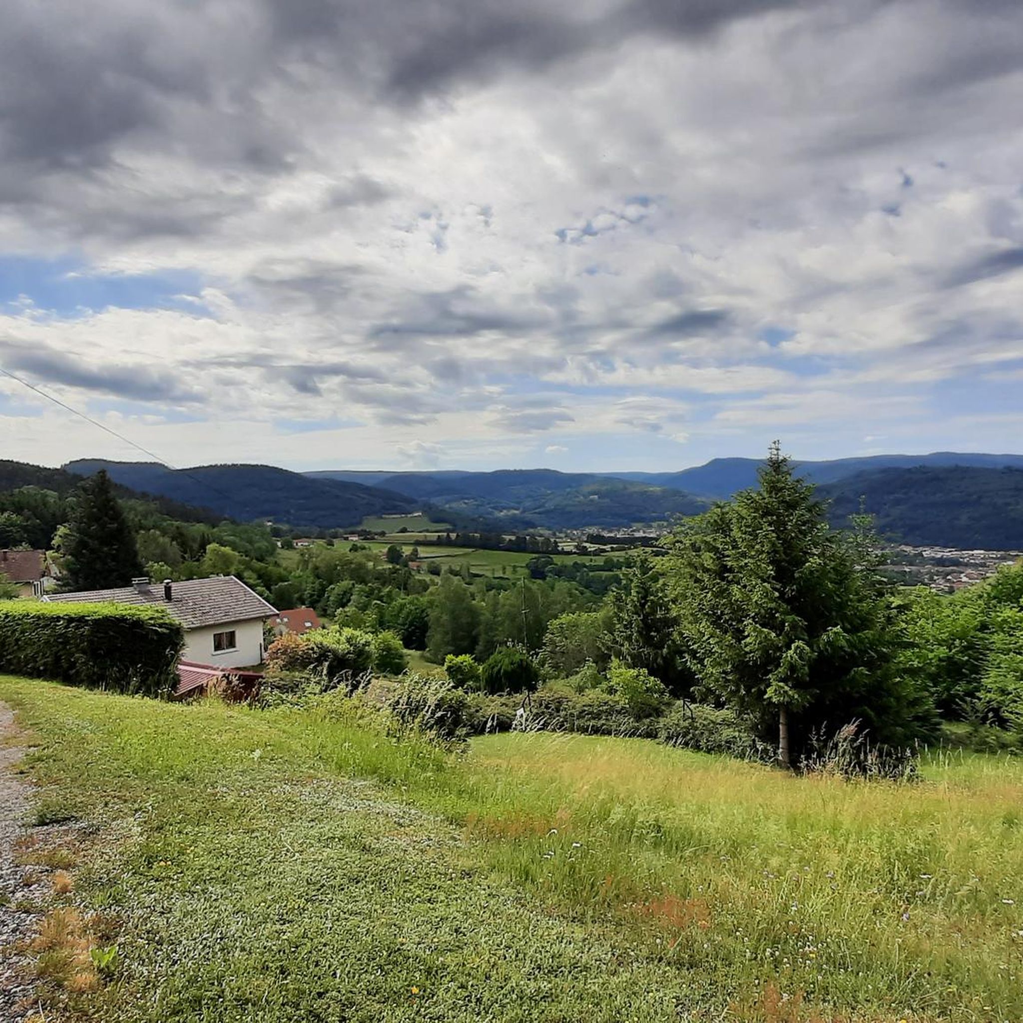
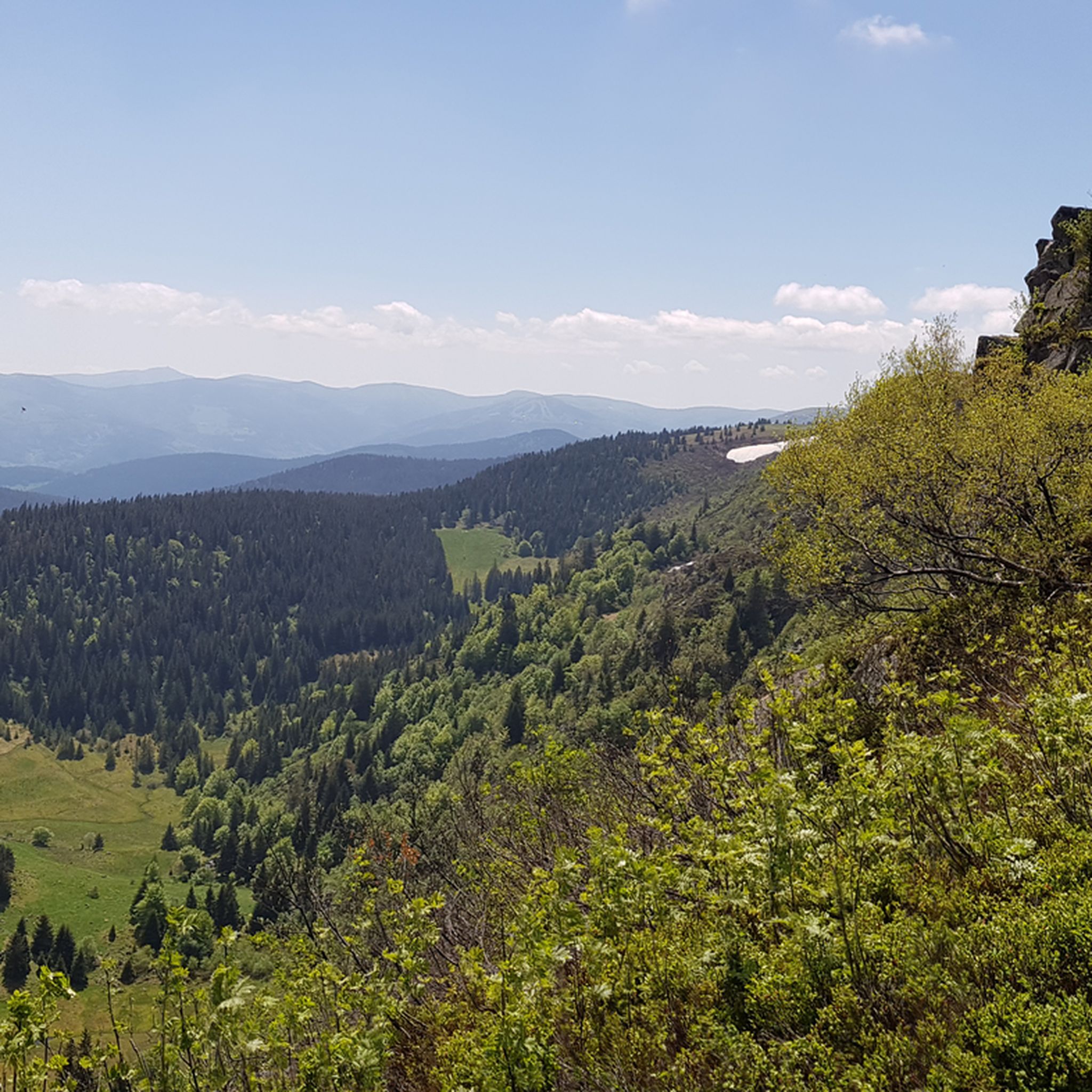
The Col du Calvaire (1144 m) is a mountain pass in the Vosges that connects Le Valtin to Orbey in Alsace. Situated on the Route des Crêtes, between the Col du Bonhomme and the Col de la Schlucht, this pass offers magnificent views of Lac Blanc and the surrounding peaks. The name refers to an old Calvary that once stood above the lake. During the First World War, the German front line ran along this pass, which also gives the place a historical charge. In winter, the pass is part of the Lac Blanc ski area and is partly closed to traffic.
7
0

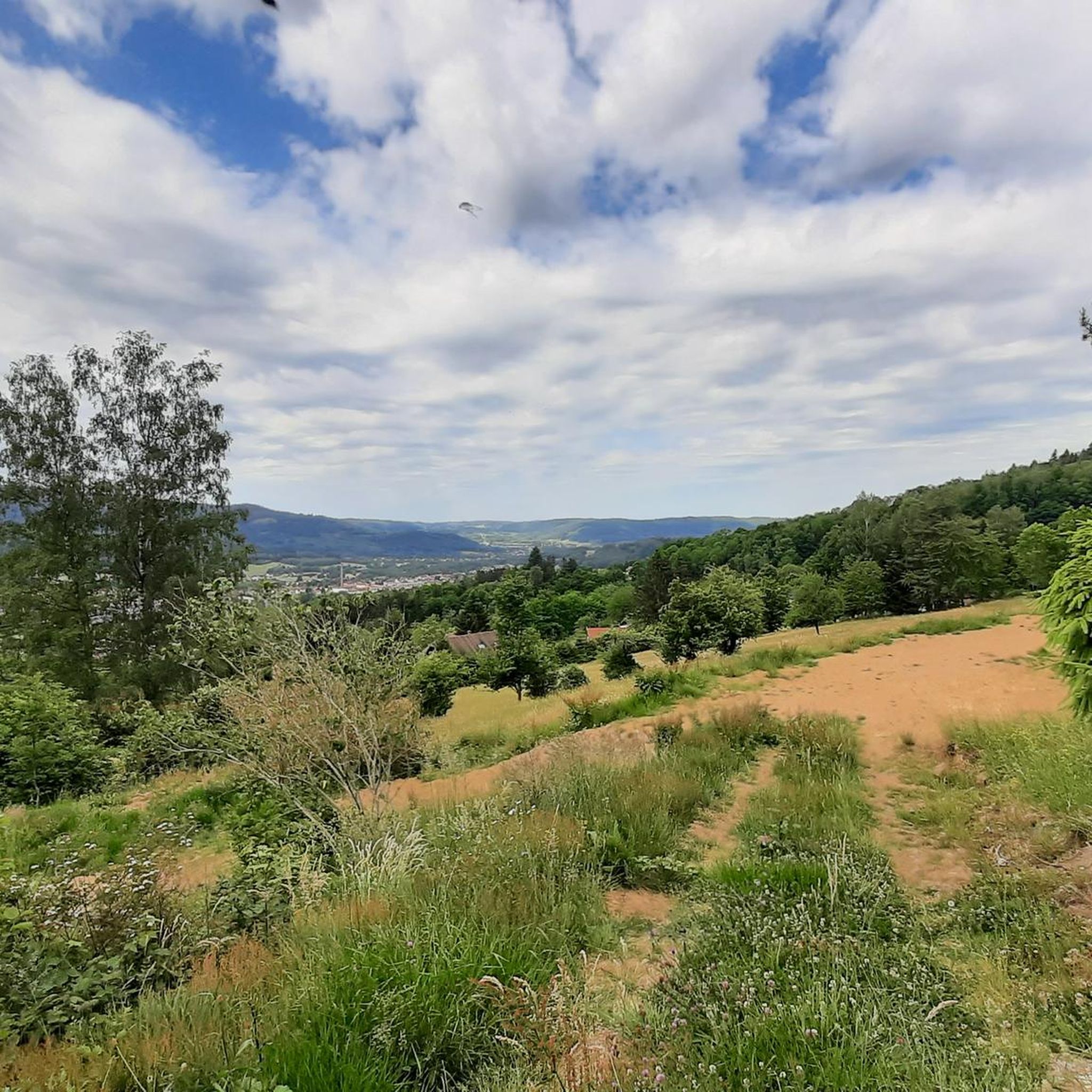
The Col du Louchpach (978 m) is a lesser-known but charming mountain pass in the Vosges, located along the Route des Crêtes. The climb is relatively short but tough, and leads through a quiet, wooded area with little traffic – ideal for cyclists who want to avoid the crowds of the larger cols. The pass forms a beautiful connection between the Meurthe and Weiss valleys and is often part of longer tours towards Lac Blanc or the Col du Calvaire. The ascent via the Rudlin road is particularly atmospheric: narrow, shady and with an authentic mountain feel.
8
0

The Col du Louchpach, or Louchbach, or Louschbach (978 m) is a rather inconspicuous Vosges mountain pass that, like many other passes in the Vosges Mountains, would have gone unnoticed if it weren't for the signpost. It is located in the northern section of the Route des Crêtes on the D148, about 3.5 km from the higher mountain lake Lac Blanc. There is a stand on the pass road where cheese is occasionally sold.
1
0

the descent on the silver valley is magical to do at full speed, good tour
0
0

Pass without much charm, with overhanging high voltage lines.
1
0

beautiful driveway from Rudlin. However, there are better places to stop.
3
0
言い換えるでのの人気観光スポット

komootモバイルアプリでインスピレーションを得よう


さらに探索
これらのガイドでさらに壮大な山道を見てみましょう言い換えるでの:
