サントマルグリット周辺のアトラクション&必見スポット - トップ20
サントマルグリットには必見のスポットがたくさんあります。ハイキング愛好家やサイクリング愛好家の方は、ぜひサントマルグリットを探索してこのエリアにある20
の隠れたスポットを訪れてみてください。このエリアの必見スポットを確認し、次の冒険に出かける計画を立てましょう。
最終更新日: 8月 30, 2026
コル・ド・マンドレ
ハイライト • 山道
翻訳者 Google •
役立つ情報 は

谷間で
ハイライト (セグメント) • その他
翻訳者 Google •
役立つ情報 は

今すぐサインアップして、こんな場所を発見しよう
最高のシングルトラック、ピーク、その他のエキサイティングなアウトドアスポットのおすすめを受け取ろう。
無料新規登録
フランスのために命を落とした集落の小道 – ラ・フォンテネル
ハイライト • 歴史的な場所
Here are buried some French soldiers who lost their lives on the battlefield of Hill 627, as the military name goes, defending France …
翻訳者 Google •
役立つ情報 は

コル・デュ・プレ・ド・ラーヴ
ハイライト (セグメント) • 山道
The road …
翻訳者 Google •
役立つ情報 は

ラ・ビュールのケルト遺跡
ハイライト • 歴史的な場所
翻訳者 Google •
役立つ情報 は
無料でサインアップして、さらに多くの観光スポットを発見しましょう サントマルグリットでの。
無料新規登録
すでにアカウントをお持ちですか?
無料アカウントで今日から始めよう
次の冒険が待っています。
ログインまたは登録
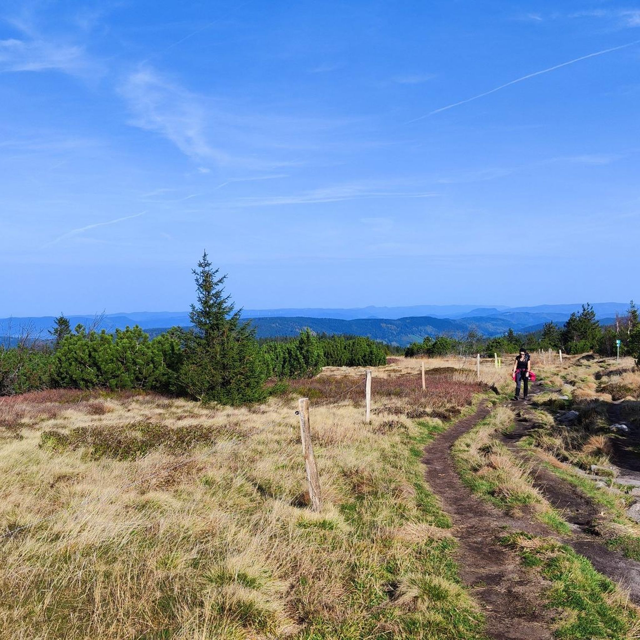
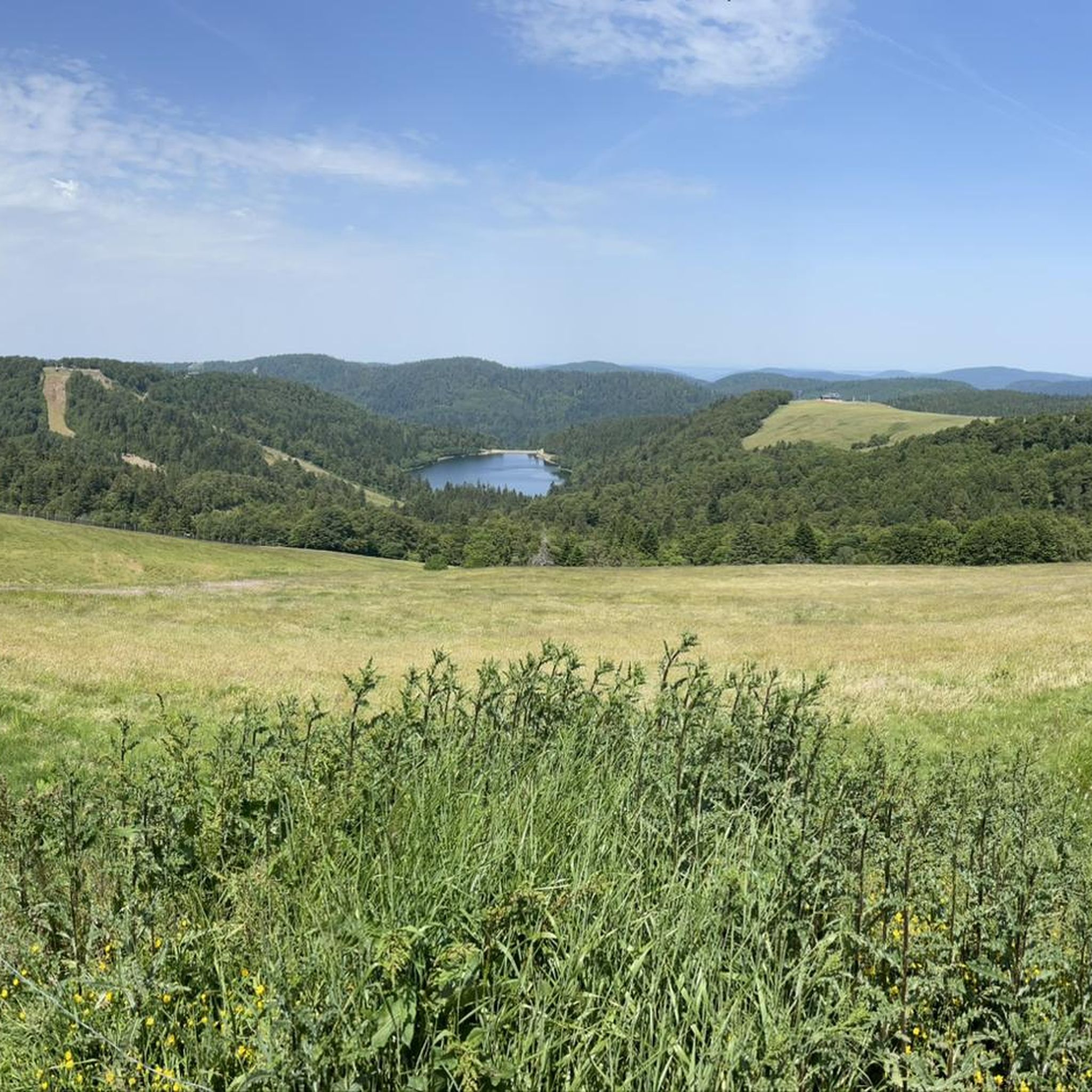

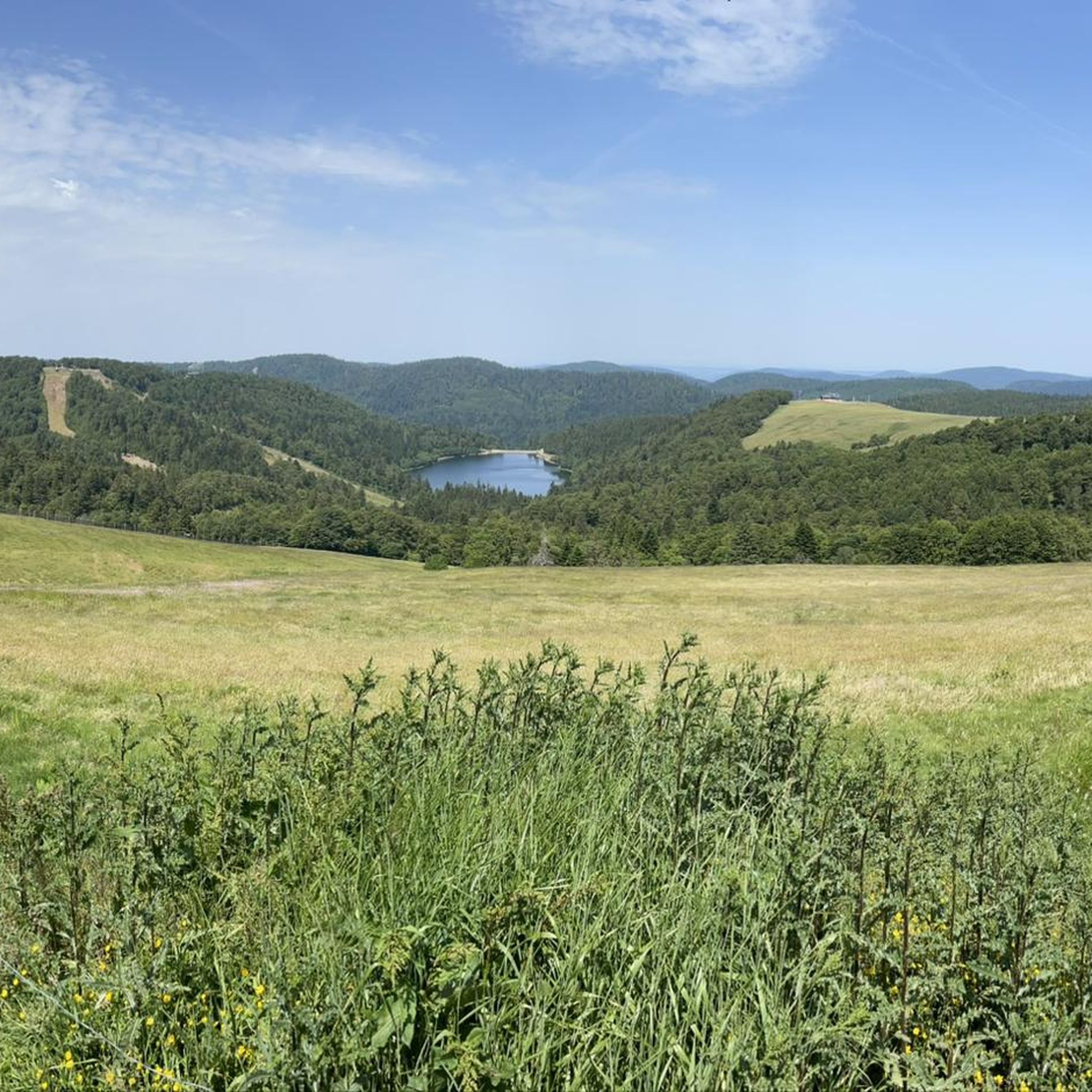

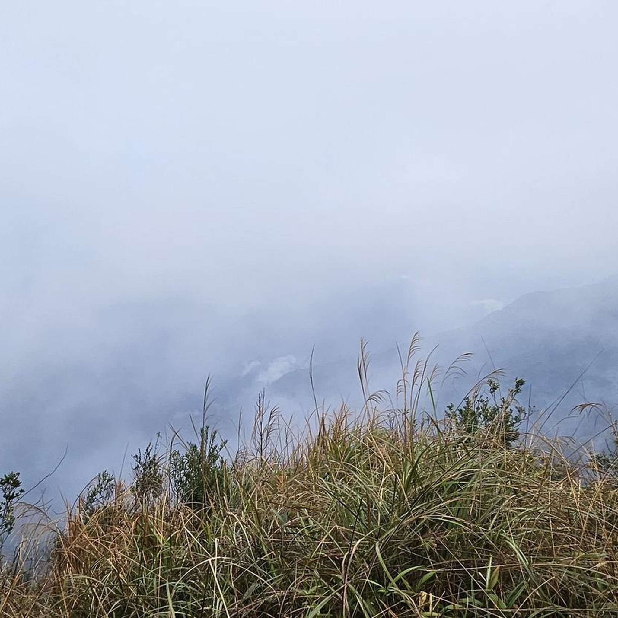
コミュニティからのヒント


Mandray村からの登りを選び、Colへの錆びた標識に従ってください。それは違う種類のクッキーです! 2.9 km、平均11%、ピークは17%まで、そして厳しい道路状況。Fraizeへの下りは最高です!
0
0

Col de Mandray (694 m) is a quiet and steady climb in the Vosges, ideal for a relaxing ride or as a warm-up for more difficult cols. From Fraize you climb over 4.5 km with an average gradient of 4.2%. The road is well passable, with little traffic and beautiful views over the Meurthe valley. A hidden gem for those who love quiet, natural climbs.
11
0

The surface isn't the best in some places, but you can still ride downhill well.
0
0

If you are coming from the direction of the Col de Bonhomme or the Route de Cretes, this is the best alternative to the busy yellow road. Going the other way... phew 😁
0
0
Instead of driving down the Col de Bonhomme on the yellow road, there is an option to drive into the "forest" further up the Route de Cretes in the bend. You drive on tarred roads through the forest to the Col de Mandray. Simply great...
0
0

I recommend riding uphill (towards east) because the asphalt is very nasty in some places.
0
0

The Celtic camp of the Bure is a fortified plateau bordering the Haute-Meurthe valley in the Grand-East of France. The plateau, now wooded, lies between the communes of Saint-Dié-des-Vosges and that of Hurbache, at the western end of the Ormont massif. This site, known for 23 years of archaeological research from 1964 to 1986, has been classified as a Historical Monument since August 6, 1982. The site has been inhabited since at least the Neolithic period. Then used intensively by the Celts and later by the Romans. There is a lot to see from that time, also because there have not been any settlement activities worth mentioning for a long time. More information e.g. here: https://fr.wikipedia.org/wiki/Camp_celtique_de_la_Bure
6
0
サントマルグリットでのの人気観光スポット

komootモバイルアプリでインスピレーションを得よう


さらに探索
まだ探しているハイライトが見つかりませんか?他の地域のトップアトラクションのガイドを見てみましょう:
