ラ・クロンヌのおすすめウォーキング&ハイキングルート
4.6
(534)
2,938
ハイカー
206
ハイキング
ラ・クロンヌ周辺でのハイキングは、景色を満喫するのに最適な手段のひとつですが、適切なハイキングルートを見つけることは簡単ではありません。 ラ・クロンヌ周辺の人気ハイキング&ウォーキングコースを参考にすれば、行きたいルートをすぐに見つけられます。
最終更新日: 10月 25, 2026
4.9
(8)
15
ハイカー
10.2km
02:41
90m
90m
中程度のハイキング. ある程度のフィットネスレベルが必要です。 歩きやすい道です。
5.0
(5)
36
ハイカー
3.45km
00:56
40m
40m
初級者向けハイキング. 歩きやすい道です。

5.0
(2)
8
ハイカー
7.89km
02:07
90m
90m
中程度のハイキング. ある程度のフィットネスレベルが必要です。 歩きやすい道です。
5.0
(1)
5
ハイカー
13.0km
03:28
150m
150m
中程度のハイキング. ある程度のフィットネスレベルが必要です。 歩きやすい道です。
5.0
(1)
3
ハイカー
7.46km
01:59
80m
80m
初級者向けハイキング. 歩きやすい道です。
さらに多くのルートや他のユーザーのおすすめ情報を確認できます。
すでにアカウントをお持ちですか?
おすすめのツアーは他のkomootユーザーが実際に経験した何千ものアクティビティに基づいています。
無料アカウントで今日から始めよう
次の冒険が待っています。



コミュニティからのヒント

A former stronghold during the Hundred Years' War, the building is said to have served as a landmark for the English, nicknamed the Red Devils, which is said to have given it its name. The building is currently privately owned. https://www.chateau-fort-manoir-chateau.eu/chateaux-charente-chateau-a-puymoyen-chateau-du-diable.html https://www.francebleu.fr/emissions/histoires-et-patrimoine-dans-les-2-charentes/les-charentes-mysterieuses-le-chateau-du-diable-a-puymoyen-16-1426390
1
0

This beautiful valley is classified as a Site of European Interest due to its limestone cliffs and Mediterranean vegetation. The southern slopes are dry grassland which favors a warmer climate, while the northern slopes and valley floor are cooler and wetter. As a natural climbing site, it is known all over the world.
2
0
This beautiful valley is classified as a Site of European Interest due to its limestone cliffs and Mediterranean vegetation. The southern slopes are dry grassland which favors a warmer climate, while the northern slopes and valley floor are cooler and wetter. As a natural climbing site, it is known all over the world.
5
1

Be careful on the descent: it can go quickly and the visibility is not always at the top.
0
0
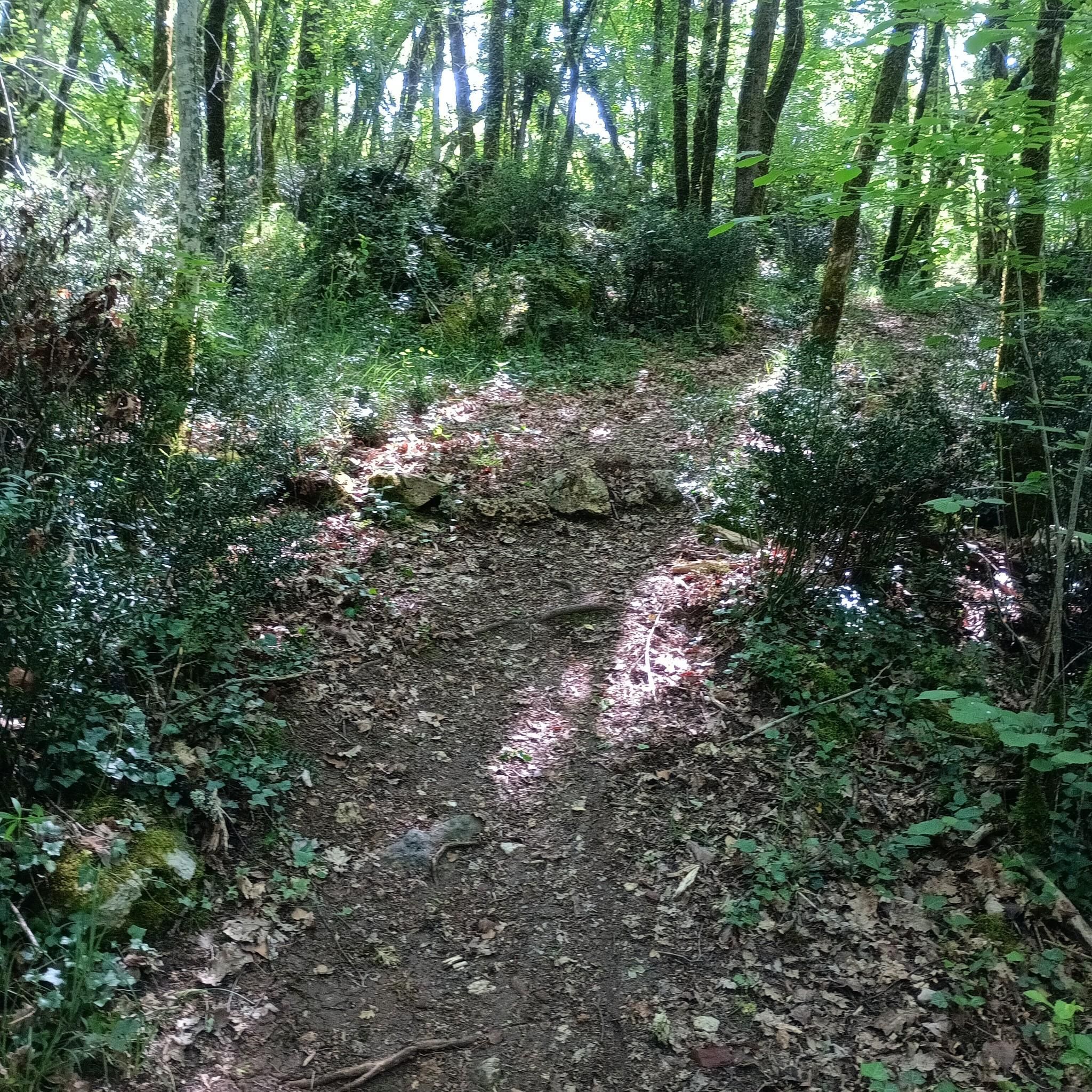
It's not an out-of-the-ordinary must-see with breathtaking landscapes, but it's one of the places to get a breath of fresh air, among the trees, near Angoulême. The map is not up to date because the trails are quite numerous. Only the main paths appear on komoot. Depending on the twists and turns, it is possible to cover around ten kilometers without leaving the woods. There are paths of all widths, often dirt, sometimes filled or with outcropping rock. Small trails are more numerous to the west, where the terrain is more rugged.
0
0

Natural valley protected by steep walls. This plot is a short version. There are many paths, some of which are not shown on Komoot, to compose your own variations. The high trails offer superb views, but require vigilance due to the risk of falling. The Moulin du Verger, below, is also worth a look.
2
2
ラ・クロンヌでのの人気観光スポット

komootモバイルアプリでインスピレーションを得よう


さらに探索
他の地域の最高のハイキングを見てみましょう。
