ラ・ルグリッピエールのおすすめウォーキング&ハイキングルート
4.3
(275)
1,120
ハイカー
70
ハイキング
ラ・ルグリッピエール周辺でのハイキングは、景色を満喫するのに最適な手段のひとつですが、適切なハイキングルートを見つけることは簡単ではありません。 ラ・ルグリッピエール周辺の人気ハイキング&ウォーキングコースを参考にすれば、行きたいルートをすぐに見つけられます。
最終更新日: 7月 19, 2026
4.7
(10)
37
ハイカー
12.0km
03:13
140m
140m
中程度のハイキング. ある程度のフィットネスレベルが必要です。 進みやすいルートです。あらゆるスキルレベルに適しています。
4.6
(9)
36
ハイカー
10.3km
02:43
90m
90m
中程度のハイキング. ある程度のフィットネスレベルが必要です。 進みやすいルートです。あらゆるスキルレベルに適しています。

無料新規登録
4.8
(4)
21
ハイカー
11.5km
03:03
120m
120m
中程度のハイキング. ある程度のフィットネスレベルが必要です。 進みやすいルートです。あらゆるスキルレベルに適しています。
5.0
(6)
19
ハイカー
10.9km
02:52
80m
80m
中程度のハイキング. ある程度のフィットネスレベルが必要です。 進みやすいルートです。あらゆるスキルレベルに適しています。
5.0
(4)
11
ハイカー
18.2km
04:47
150m
150m
中程度のハイキング. ある程度のフィットネスレベルが必要です。 進みやすいルートです。あらゆるスキルレベルに適しています。
さらに多くのルートや他のユーザーのおすすめ情報を確認できます。
無料新規登録
すでにアカウントをお持ちですか?
おすすめのツアーは他のkomootユーザーが実際に経験した何千ものアクティビティに基づいています。
無料アカウントで今日から始めよう
次の冒険が待っています。
ログインまたは登録
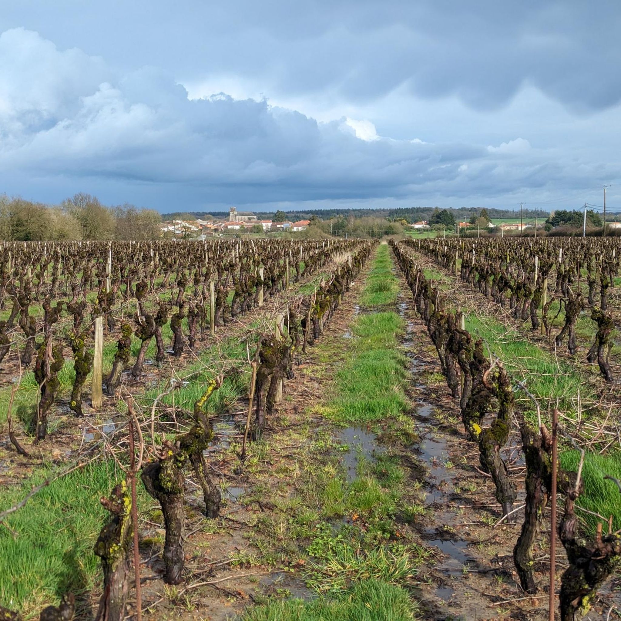
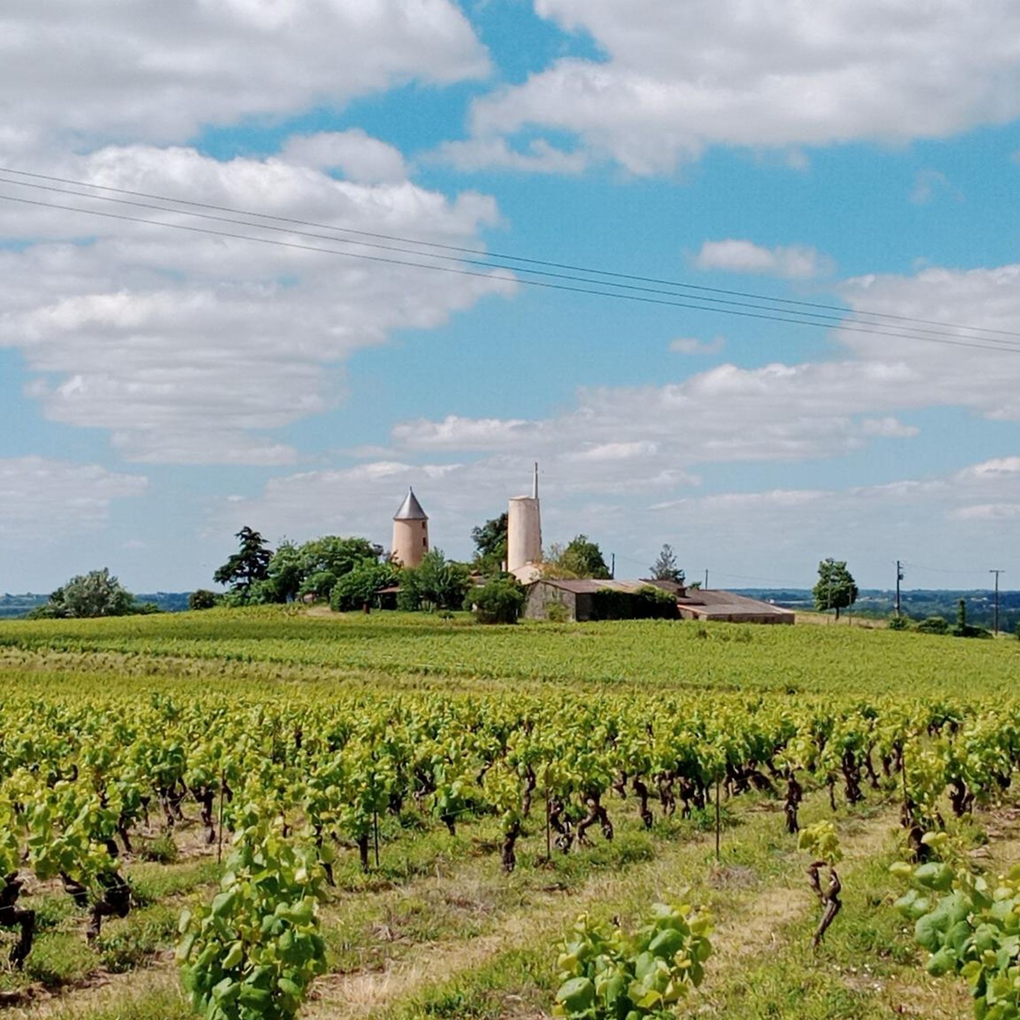

コミュニティからのヒント

1956年にDivatteのほとりにある古い採石場、La Roche Limaに造られたこの「聖なる洞窟」(またはルルドの洞窟)は、緑豊かな平和な礼拝と巡礼の場所であり、Haute Divatteのハイキングコース上に理想的に位置しています。
0
0
ラ・ロビニエール水車小屋は、ディヴァット川のほとりにあったかつての水車小屋で、**ラ・レモディエール**のコミューンに位置していました。このコミューンは実際には**ロワール=アトランティック(44)**にあり、メーヌ=エ=ロワール(49)との境界に接しています。現在では、ブドウ畑や木陰の小道を通る約6〜7キロメートルの快適なハイキングコースの名前になっています。
0
0

La Ducherie was once crossed by a Roman road. There still remains a dam, now covered by water and moss, and a bridge, still visible. In July 1828, the Duchess of Berry, wanting to drink a bowl of milk on a farm, stopped in this delightful ravine. She still had funds to distribute for the department she was leaving. According to tradition, she filled a soup tureen with it, and the peasants who discovered it were happy and surprised. https://mairie-laregrippiere.fr/fr/rb/213319/patrimoine-16
0
0
The Petit Anjou was a secondary railway network with metre gauge, located in the departments of Loire-Atlantique (formerly Loire-Inférieure) and Maine-et-Loire, in service from 1893 to 1910 and closed in 1948. It was first operated by the Compagnie des Chemins de fer de l'Anjou then, from 1928, by the Société générale des chemins de fer économiques (SE). https://fr.m.wikipedia.org/wiki/Petit_Anjou
0
0
The so-called "Gallo-Roman" bridge was a stage on the Celtic road Rouen-Ancenis-Bordeaux. It is sometimes called the Gallo-Roman bridge or the Julius Caesar bridge on the pretext that the Roman general would have used a bridge prior to this one, intended only for pedestrians. However, during work carried out in 2017, the architect of Historical Monuments and that of Buildings of France called on a historian and the so-called Gallo-Roman bridge is rather attested as a bridge from the early Middle Ages. Remains of a Roman road nearby, as well as the materials used, wrongly gave its name to this bridge which, according to the results of this historical study, does not date from the Roman era, but is much more recent. It would in fact date from the Romanesque era (7th century). It has four unequal arches. Each pier is flanked by a spur. Downstream, this spur does not rise to the deck; it rises above it, which gives it a very particular appearance and makes it unique in the west. It was partly restored in the Middle Ages. An ogival arch is proof of this. It was listed in the inventory of Historic Monuments by decree dated May 14, 1925. Following floods that weakened it in 2014-2015, it was completely restored in 2018 and now allows a gentle connection with a pedestrian and secure crossing. https://www.levignobledenantes-tourisme.com/patrimoine-culturel/pont-gallo-romain/
1
0

This place of worship, also known as the Grotte de Lourdes, in homage of course to the famous Pyrenean cave, overlooks the Divatte, in a particularly pleasant, green and shaded site, equipped with picnic tables. The single track that runs along the river is passable by mountain bike or gravel, but it seems very popular with hikers.
2
0
19th century Italianate style castle, built by a student of Lemot, the famous architect from Clisson.
1
0
ラ・ルグリッピエールでのの人気観光スポット

komootモバイルアプリでインスピレーションを得よう


さらに探索
他の地域の最高のハイキングを見てみましょう。
