ダンジーサンクレアの峠・トップ17
風景を楽しんだり、上りや下りを満喫したり、峠には楽しみ方がたくさんあります。ダンジーサンクレアの素晴らしい峠の一覧を参照して、思い出に残るアドベンチャーに出かけましょう。コミュニティのメンバーがコミュニティのために投稿した峠のハイライトは、他のユーザーが実際におすすめする情報なので、どれも信頼できるものです。気に入った峠にさっそく向かってみましょう。
最終更新日: 10月 13, 2026
グリエール峠
ハイライト • 山道
翻訳者 Google •
役立つ情報 は

メントン=サン=ベルナール発 ラ・フォルクラ峠の上り
ハイライト (セグメント) • 山道
翻訳者 Google •
役立つ情報 は

今すぐサインアップして、こんな場所を発見しよう
最高のシングルトラック、ピーク、その他のエキサイティングなアウトドアスポットのおすすめを受け取ろう。
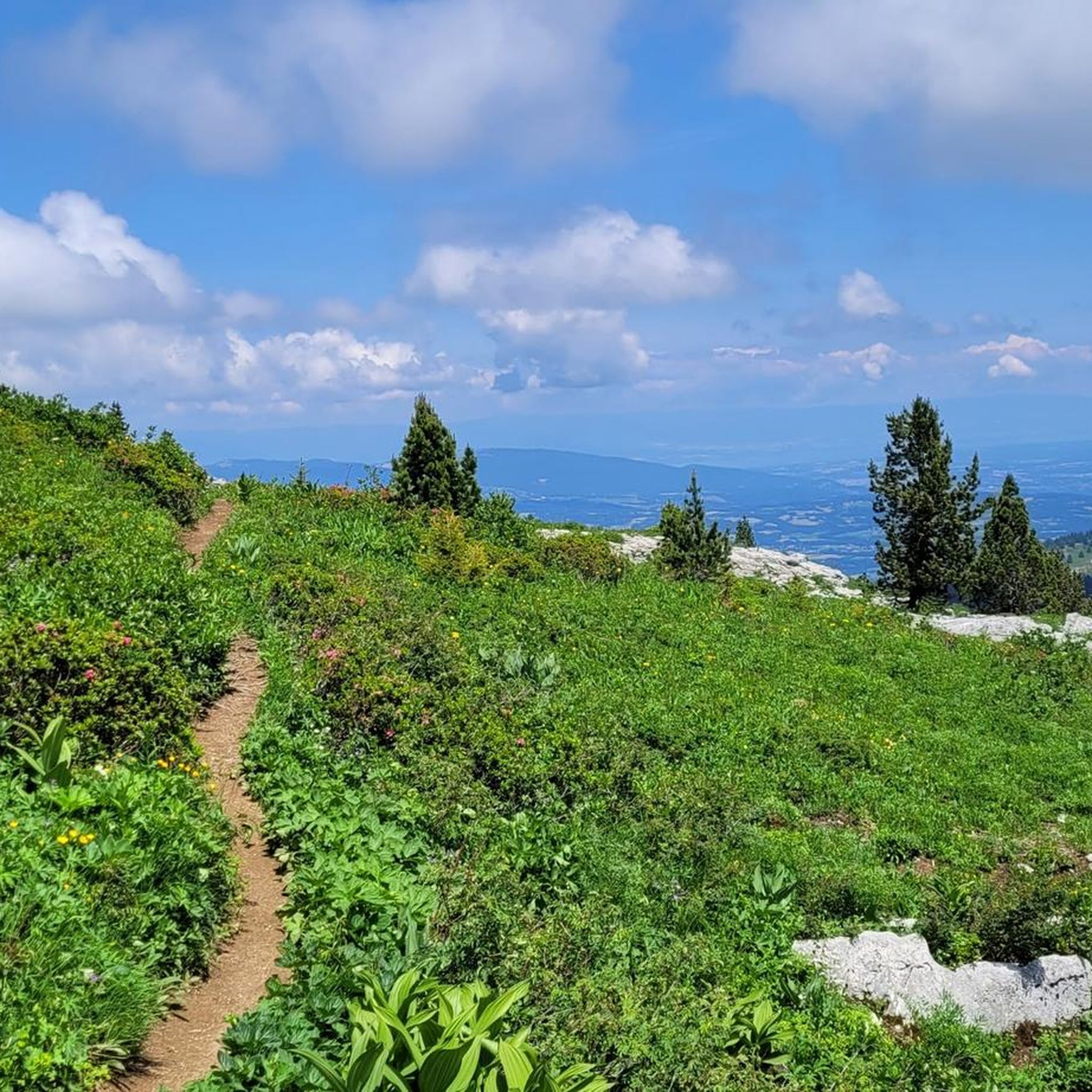
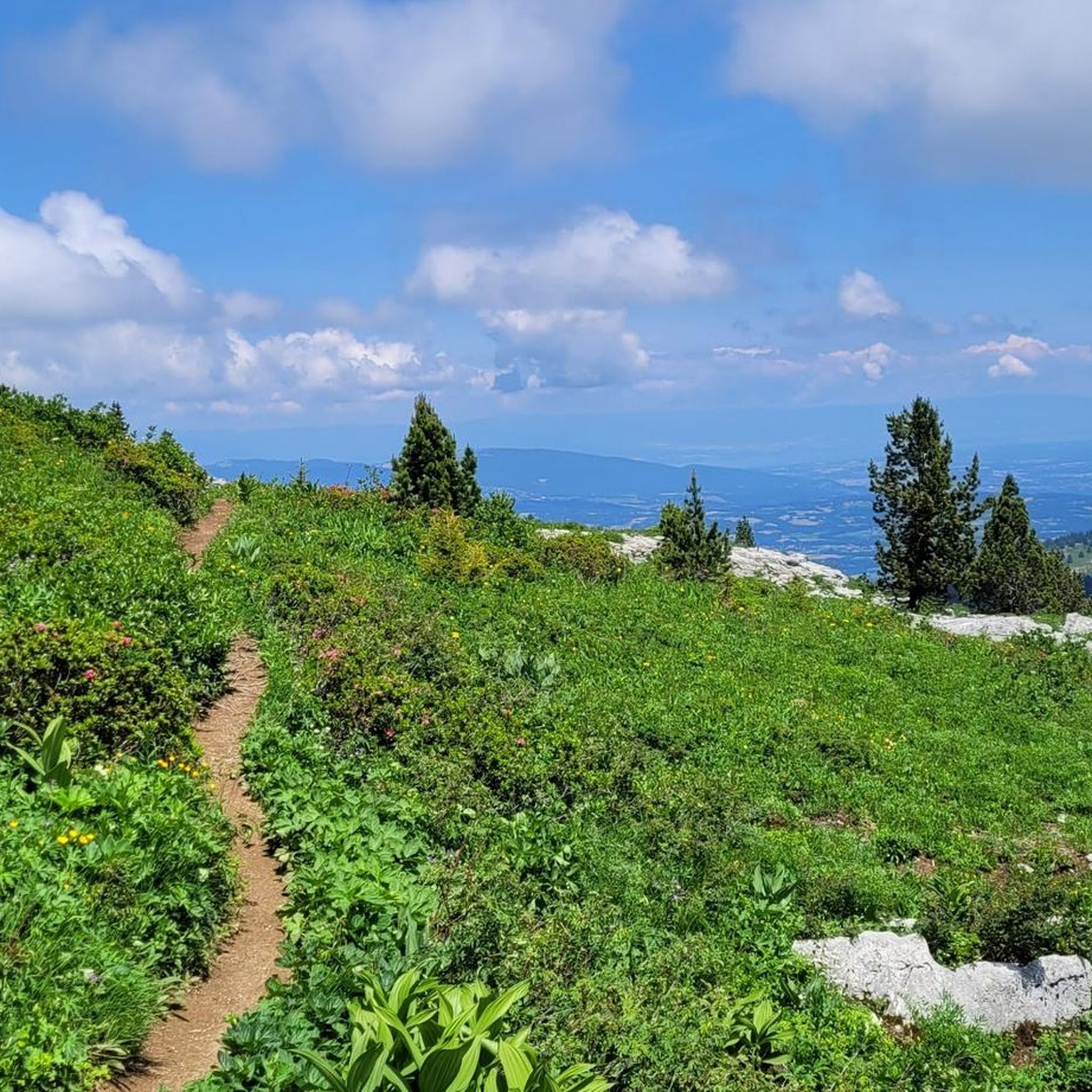
ナンテ峠(コル・デ・ナンテ)
ハイライト • 山道
翻訳者 Google •
役立つ情報 は

サン・ジャン・ド・シクスト峠
ハイライト • 山道
翻訳者 Google •
役立つ情報 は

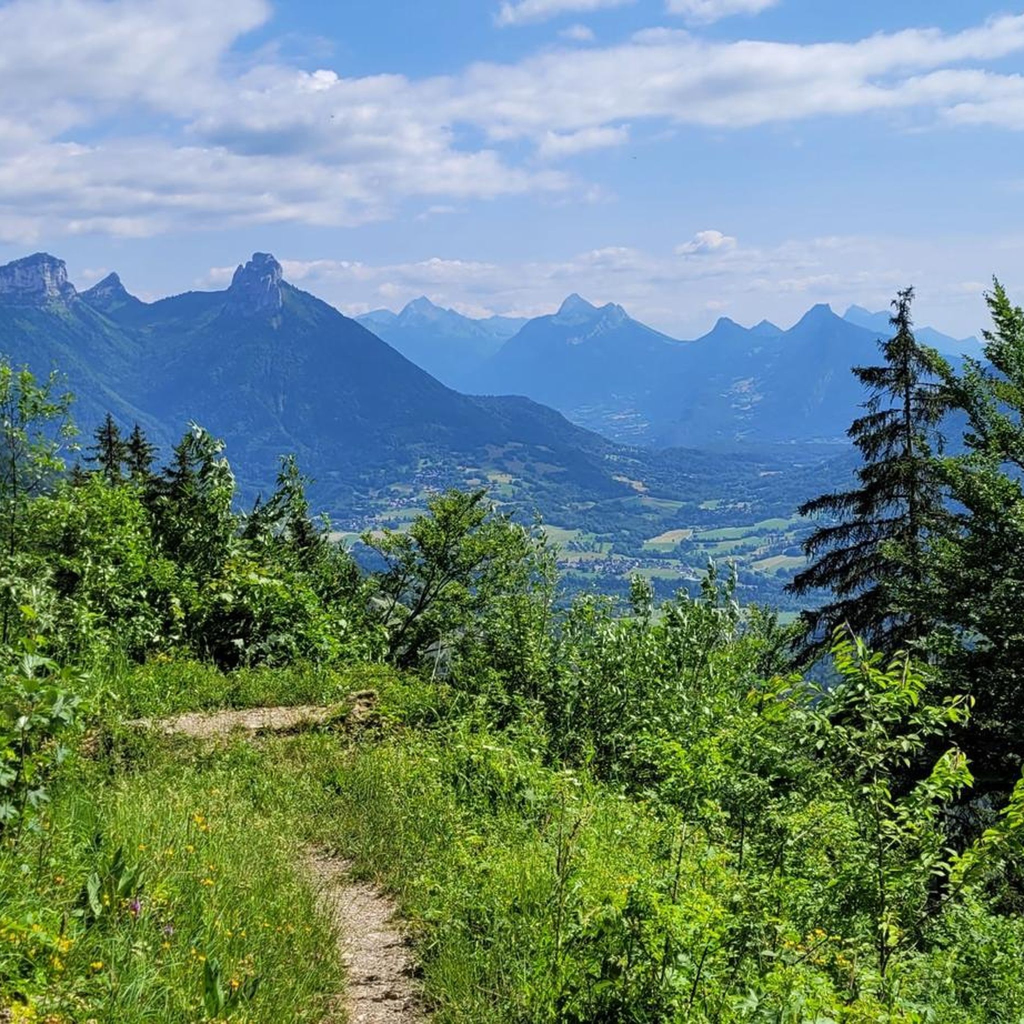
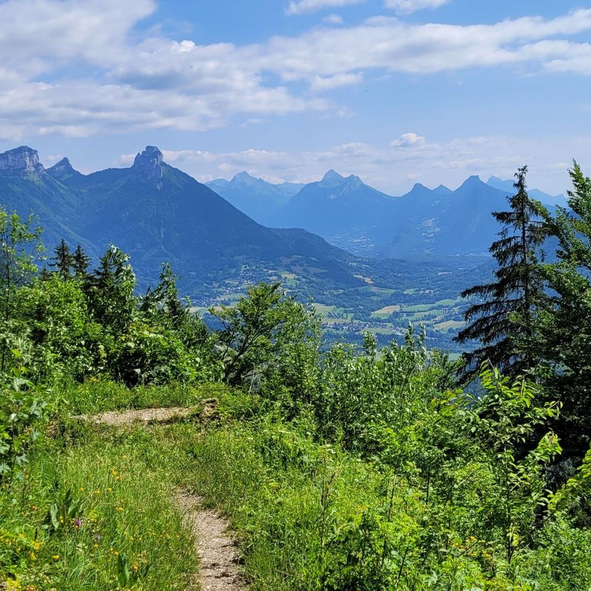
アヌシー湖と周辺の山々の眺め
ハイライト • 展望台
翻訳者 Google •
役立つ情報 は

無料でサインアップして、さらに多くの山道を発見しましょう ダンジーサンクレアでの。
すでにアカウントをお持ちですか?
無料アカウントで今日から始めよう
次の冒険が待っています。

コミュニティからのヒント

上り坂の自転車道、厄介な交通、美しい景色
2
0

A panoramic view of Lake Annecy, the Tournette mountain, and the alpine pastures. A mountain pass that can mark the summit of a hike, with a refreshment stand just steps away for a lunch break on sunny days.
0
0

Talloires has the steepest climb on the lake circuit. You either have to ride up the switchbacks or down. At one of the switchbacks' bends, you'll have a fantastic view of the lake and the mountains.
1
0

Nice photo spot! Up on the bike from the Col de l'Aulp, some technical and exposed passages to get there but nothing too bad. Possibility to continue via Roc Lancrenaz to reach the Dents de Lanfon or to go back down via Combe Noire.
0
0

Magnificent view of Lake Annecy and the surrounding mountains. Opposite you can see the Crêt du Bourg and the Menthon-Saint-Bernard castle.
1
0

The gravel section is easy to do with a racing bike
1
0

Le Col des Glières is a picturesque mountain pass located in the French Alps. Nestled at an elevation of 1,450 meters, it is renowned for its natural beauty and historical significance. The col gained prominence during World War II as a key location for the French Resistance, serving as a clandestine base and supply route. Today, visitors can explore the tranquil surroundings, hike through pristine alpine landscapes, and discover the memorial sites that pay homage to the brave individuals who fought for freedom in this mountainous sanctuary.
1
0

Accessible climb, with a magnificent view at the top. Complements the tour of Lake Annecy
3
0
ダンジーサンクレアでのの人気観光スポット

komootモバイルアプリでインスピレーションを得よう


さらに探索
これらのガイドでさらに壮大な山道を見てみましょうダンジーサンクレアでの:
