ビッチの天然記念物・トップ20
ビッチが誇る美しい風景を見てみたいなら、ビッチの素晴らしい天然記念物・トップ20
に行ってみましょう。あなたにぴったりの場所が見つかるよう、素晴らしい天然記念物を探索するために必要なすべての情報を集めました。次のアウトドアの冒険に出かける計画の参考にしましょう。
最終更新日: 9月 29, 2026
アルトシュロスフェルゼン(岩の通路付き)
ハイライト • 自然記念物
翻訳者 Google •
役立つ情報 は

アルトシュロスフェルセン・トレイル
ハイライト (セグメント) • 自然記念物
翻訳者 Google •
役立つ情報 は

今すぐサインアップして、こんな場所を発見しよう
最高のシングルトラック、ピーク、その他のエキサイティングなアウトドアスポットのおすすめを受け取ろう。
アルトシュロスフェルセン(砂岩の岩層)
ハイライト • 自然記念物
翻訳者 Google •
役立つ情報 は
アルトシュロスフェルセン(南部)
ハイライト • 自然記念物
絶対的な自然の驚異とハイライトです。
翻訳を表示中
役立つ情報 は

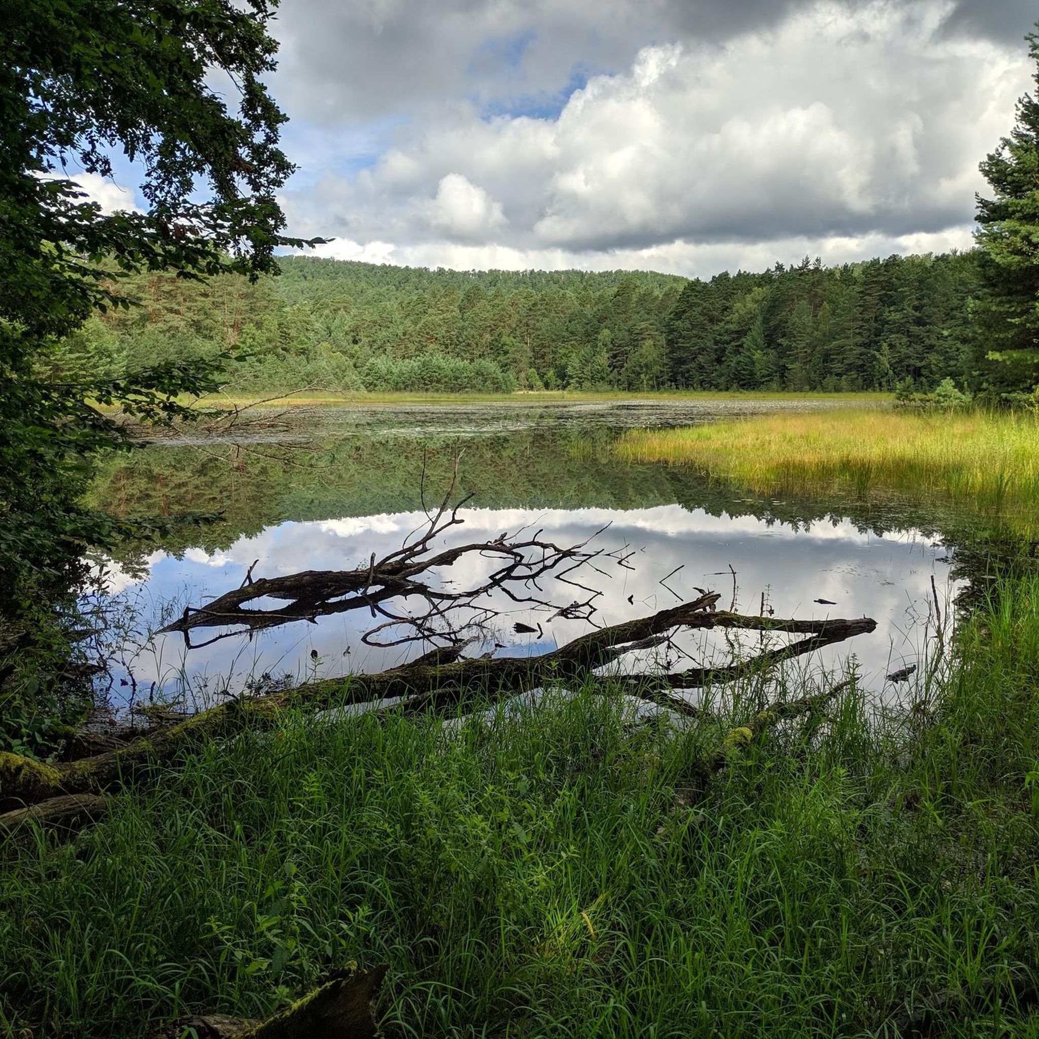
レッセルスヴァイアー
ハイライト • 湖
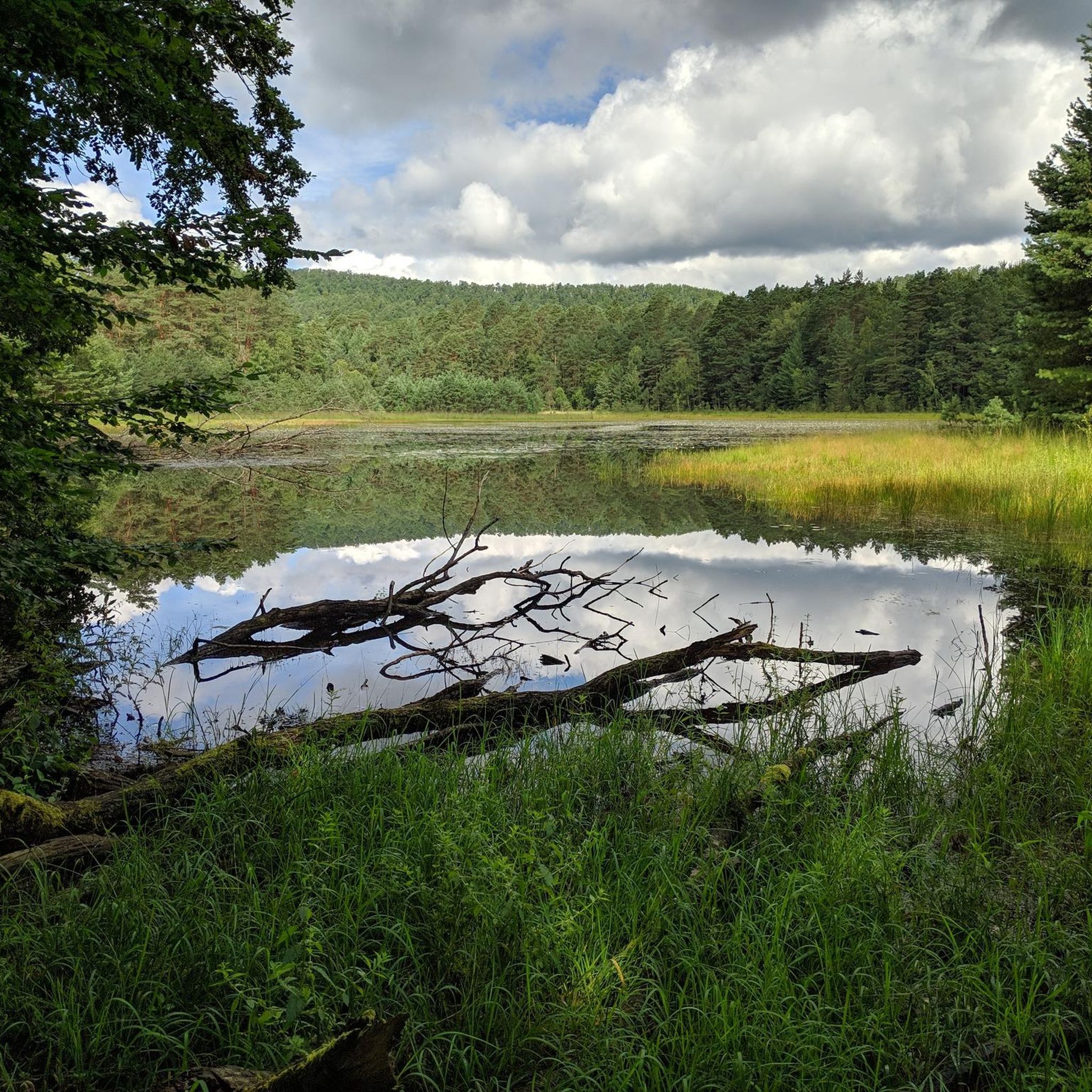
This NSG is approximately 39 hectares.
What I liked best was that the …
翻訳者 Google •
役立つ情報 は

無料でサインアップして、さらに多くの自然記念物を発見しましょう ビッチでの。
すでにアカウントをお持ちですか?
無料アカウントで今日から始めよう
次の冒険が待っています。
コミュニティからのヒント

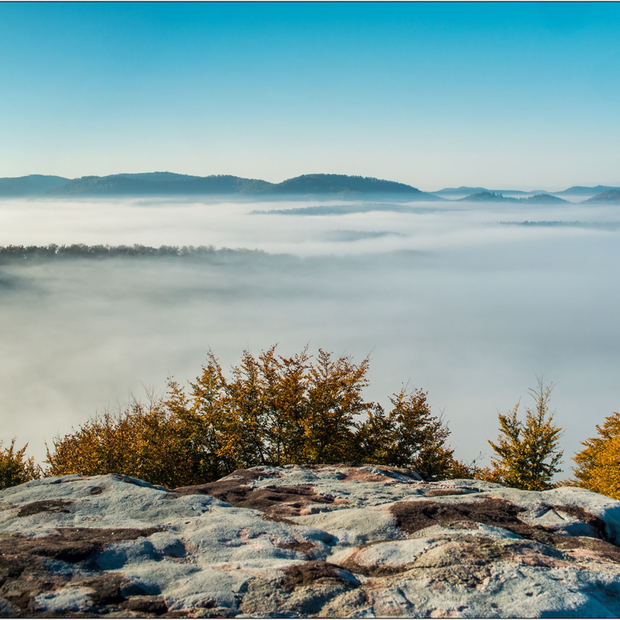
比類なき色彩の戯れ。鮮やかな赤から、光の加減でオレンジ色に、そして灰色と苔むした岩の間を縫うように。そして、常に変化する形、洞窟、通路。
5
0
早朝または夕方は、特に光が美しく、静かです。私たちは昼間に訪れたため、場所によっては、光が岩に強く当たったり、かすかに当たったりしました。それでも素晴らしい自然体験でした。 丈夫な靴をお勧めします。
9
0
岩は、例えばエッペンブルンまたは近くのハイキング駐車場から徒歩でのみアクセス可能です。 絶対的な自然の驚異とハイライトです。
7
0

The Altschlossfelsen (also known as Eppenbrunn Castle) are a group of red sandstone rocks designated as a natural monument (ND) ND-7340-205 and a cultural monument (KD) in the municipality of Eppenbrunn in the Palatinate Forest on the border with France, and are the largest rock formation in the Palatinate. They are located on the eastern slope of the Brechenberg (406 m) near Eppenbrunn and Roppeviller at an elevation of approximately 365 m above sea level at the northeast end and 380 m above sea level at the southwest end of the rock band. The Altschlossfelsen are a group of red sandstone rocks approximately one and a half kilometers long and up to 30 meters high. The group consists of sandstone towers and walls. The Altschlossfelsen are crisscrossed by cracks and joints, some of which are wide enough to climb through. They are known primarily for their diverse weathering phenomena and rare lichens. The summit plateau can be reached from the north and south on narrow paths. There, you'll find a sparse forest and moss-covered rocks. A special lighting situation created by the sun, the "rock glow," is best seen around 7:00 p.m. in the first half of April, depending on weather conditions, vegetation, and the position of the sun. In the morning hours, the glow occurs around 8:45 a.m. Finds from the Hallstatt and Roman periods attest to earlier settlement of the rock group. In 1964, for example, shards from the La Tène period (c. 450–50 BC) were found. Traces of a medieval castle from the 11th or 12th century are found on the four main rocks. These include the remains of a stepped structure, post holes, remains of masonry, and notches for beams in the rock. A depression with a diameter of four meters is located on a rock, which may have served as a cistern. Additionally, on the southern and northern slopes around the rock formation, humped blocks, which may have originated from the structure of a former castle, as well as shards from the High Middle Ages were found in a wall groove. A more precise dating of the castle complex is difficult, as the castle was not mentioned before 1297 or later in the 1605 border description between Lorraine and the County of Hanau-Lichtenberg. Source: https://de.wikipedia.org/wiki/Altschlossfelsen
2
0
The Altschlossfelsen (also known as Eppenbrunn Castle) are a group of red sandstone rocks designated as a natural monument (ND) ND-7340-205 and a cultural monument (KD) in the municipality of Eppenbrunn in the Palatinate Forest on the border with France, and are the largest rock formation in the Palatinate. They are located on the eastern slope of the Brechenberg (406 m) near Eppenbrunn and Roppeviller at an elevation of approximately 365 m above sea level at the northeast end and 380 m above sea level at the southwest end of the rock band. The Altschlossfelsen are a group of red sandstone rocks approximately one and a half kilometers long and up to 30 meters high. The group consists of sandstone towers and walls. The Altschlossfelsen are crisscrossed by cracks and joints, some of which are wide enough to climb through. They are known primarily for their diverse weathering phenomena and rare lichens. The summit plateau can be reached from the north and south on narrow paths. There, you'll find a sparse forest and moss-covered rocks. A special lighting situation created by the sun, the "rock glow," is best seen around 7:00 p.m. in the first half of April, depending on weather conditions, vegetation, and the position of the sun. In the morning hours, the glow occurs around 8:45 a.m. Finds from the Hallstatt and Roman periods attest to earlier settlement of the rock group. In 1964, for example, shards from the La Tène period (c. 450–50 BC) were found. Traces of a medieval castle from the 11th or 12th century are found on the four main rocks. These include the remains of a stepped structure, post holes, remains of masonry, and notches for beams in the rock. A depression with a diameter of four meters is located on a rock, which may have served as a cistern. Additionally, on the southern and northern slopes around the rock formation, humped blocks, which may have originated from the structure of a former castle, as well as shards from the High Middle Ages were found in a wall groove. A more precise dating of the castle complex is difficult, as the castle was not mentioned before 1297 or later in the 1605 border description between Lorraine and the County of Hanau-Lichtenberg. Source: https://de.wikipedia.org/wiki/Altschlossfelsen
5
0

Over time, wind and weather have shaped the red sandstone massif, consisting of the Trippstadt and Karlstal layers, creating bizarre rock formations. Four towers standing close together and the actual main rock are clearly visible. Traces of a former fortification, probably built by the Counts of Zweibrücken-Bitche after 1279, can be found on the towers. By 1605, all traces of the castle had disappeared. In 1991, the rock massif was listed as a historical monument. A special lighting phenomenon created by the sun, the "rock glow," is best seen around 7 p.m. in the first half of April on the southeast side of the third rock from the east (from Eppenbrunn), depending on weather conditions, vegetation, and the position of the sun.
0
0

A beautiful hiking trail along the historic rock formations near the border
3
0
A beautiful hiking trail along the historic rock formations near the border
4
0
ビッチでのの人気観光スポット

komootモバイルアプリでインスピレーションを得よう


さらに探索
これらのガイドで、最高の洞窟を探す範囲を広げましょうビッチでの:
