ビルギッツのおすすめウォーキング&ハイキングルート
4.5
(11138)
76,714
ハイカー
21
ハイキング
ビルギッツ 周辺でおすすめのハイキングやウォーキングを楽しんでいただけるように、このエリアの小径やルートを集めたkomootコレクション全体を見直しました。 以下で各ルートの詳細をご覧になり、ビルギッツ周辺の大自然を満喫する際の参考にしてください。
最終更新日: 8月 25, 2026
4.8
(33)
456
ハイカー
8.81km
03:33
590m
590m
中程度のハイキング. ある程度のフィットネスレベルが必要です。 全般的に進みやすいルートです。安定して歩行できる技術が必要です。
4.7
(85)
1,023
ハイカー
6.18km
02:33
450m
450m
中程度のハイキング. ある程度のフィットネスレベルが必要です。 全般的に進みやすいルートです。安定して歩行できる技術が必要です。

無料新規登録
5.0
(10)
112
ハイカー
12.8km
06:08
1,000m
1,000m
難しいハイキング. 標準以上のフィットネスレベルが必要です。 安定して歩行できる技術、丈夫な靴、高標高地での登山経験が必要です。
4.9
(37)
524
ハイカー
10.9km
04:14
700m
700m
中程度のハイキング. ある程度のフィットネスレベルが必要です。 全般的に進みやすいルートです。安定して歩行できる技術が必要です。
5.0
(8)
56
ハイカー
11.6km
05:12
840m
840m
難しいハイキング. 標準以上のフィットネスレベルが必要です。 全般的に進みやすいルートです。安定して歩行できる技術が必要です。
さらに多くのルートや他のユーザーのおすすめ情報を確認できます。
無料新規登録
すでにアカウントをお持ちですか?
おすすめのツアーは他のkomootユーザーが実際に経験した何千ものアクティビティに基づいています。
無料アカウントで今日から始めよう
次の冒険が待っています。
ログインまたは登録

コミュニティからのヒント


5月は道が部分的に極端に雪で覆われているため、6月にツアーを開始することをお勧めします。雪は下から部分的に溶け、その下に洞窟ができ、危険な場合があります。
0
1

The tour towards Birgitzköpfl is usually always tracked, and below the summit there is a hut, the Birgitzer Alm (where the toboggan run also ends), where you can stop for a break - what more could you want?
0
0

Highly frequented alpine hut for ski tourers, sledders, hikers and other fun-loving fellows with a beautiful sun terrace.
1
0

You can reach the Birgitzer Alm via great trails, but make sure that the paths are also used by hikers. From the Alm's sun terrace you have a great view of the Axamer Litzum and the Nockspitze while you treat yourself to a hearty snack. You can find more information and opening times here: https://www.birgitzeralm.at/.
2
1


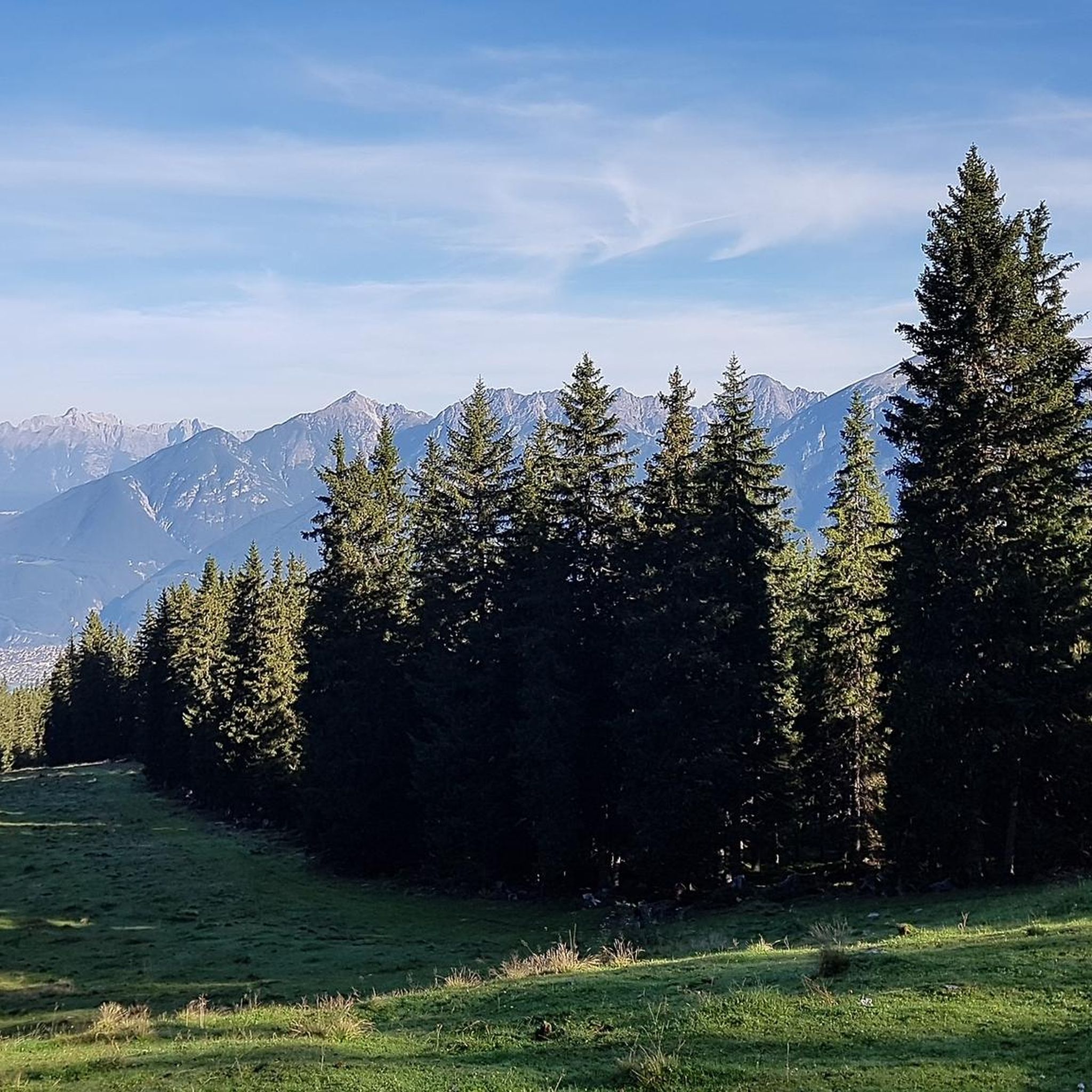
Absolutely fantastic views of the surrounding mountains and the Inn Valley await you from up here.
0
0

Open only until 4:00 PM. After that, it's extremely stressful and the wait times are very long.
1
1

komootモバイルアプリでインスピレーションを得よう


さらに探索
他の地域の最高のハイキングを見てみましょう。
