ソジョンのおすすめツーリングルート
3.9
(73)
330
ライダー
31
ライド
ソジョン周辺でのおすすめのサイクリングルートを参考にして、このエリアを最大限に楽しみましょう。ここでご紹介するのは、ソジョン周辺の人気バイクライドです。ぜひ、自分に合ったルートを見つけてください。
最終更新日: 8月 30, 2026
4.6
(20)
74
ライダー
59.8km
03:33
120m
120m
Cycle 37.2 miles (59.8 km) through the Marine natural park of the Gironde Estuary and the Sea of Pertuis, a moderate touring route with dive
4.5
(12)
65
ライダー
20.8km
01:24
30m
30m
初級者向けバイクライド. あらゆるフィットネスレベルに適しています。 全般的に舗装された状態です。あらゆるスキルレベルに適しています。

無料新規登録
4.4
(9)
30
ライダー
63.9km
03:48
100m
100m
中程度の自転車ライド. ある程度のフィットネスレベルが必要です。 全般的に舗装された状態です。あらゆるスキルレベルに適しています。
3.3
(9)
23
ライダー
26.0km
01:34
60m
60m
初級者向けバイクライド. あらゆるフィットネスレベルに適しています。 全般的に舗装された状態です。あらゆるスキルレベルに適しています。
4.5
(4)
8
ライダー
41.6km
02:30
210m
210m
中程度の自転車ライド. ある程度のフィットネスレベルが必要です。 全般的に舗装された状態です。あらゆるスキルレベルに適しています。
さらに多くのルートや他のユーザーのおすすめ情報を確認できます。
無料新規登録
すでにアカウントをお持ちですか?
おすすめのツアーは他のkomootユーザーが実際に経験した何千ものアクティビティに基づいています。
無料アカウントで今日から始めよう
次の冒険が待っています。
ログインまたは登録


コミュニティからのヒント

Les Halles de Mornac は中世に出現しました。その存在を証明する最初の書面による証拠は1664年になってからです。 おそらくそれらはより古く、1550年代にさかのぼる可能性があります。 Les Hallesは通常、石柱で支えられ、瓦で覆われた木骨造りの避難所です。CozesやPisanyのものと同様に、宗教戦争の変遷を経験し、損傷を受けたり、破壊されたりした後、平和が戻ったときに再建されたと考えることができます。Les Halles de Mornacの場所は有名な見本市の会場であり、住民が領主に支払う権利と引き換えに製品を販売することを可能にしました。それは彼にとって重要な収入源であり、彼にこれらのLes Hallesを完璧な状態に維持することを義務付けていました。領主と売り手を拘束する行為は、商品の販売権と上記のLes Hallesの維持を意味する契約を封印しました。
0
0

注意:フェリーはカード払いができません!現金がない場合は、交通量の多い橋を迂回するしかありません。2026年の料金は3ユーロです。
1
0

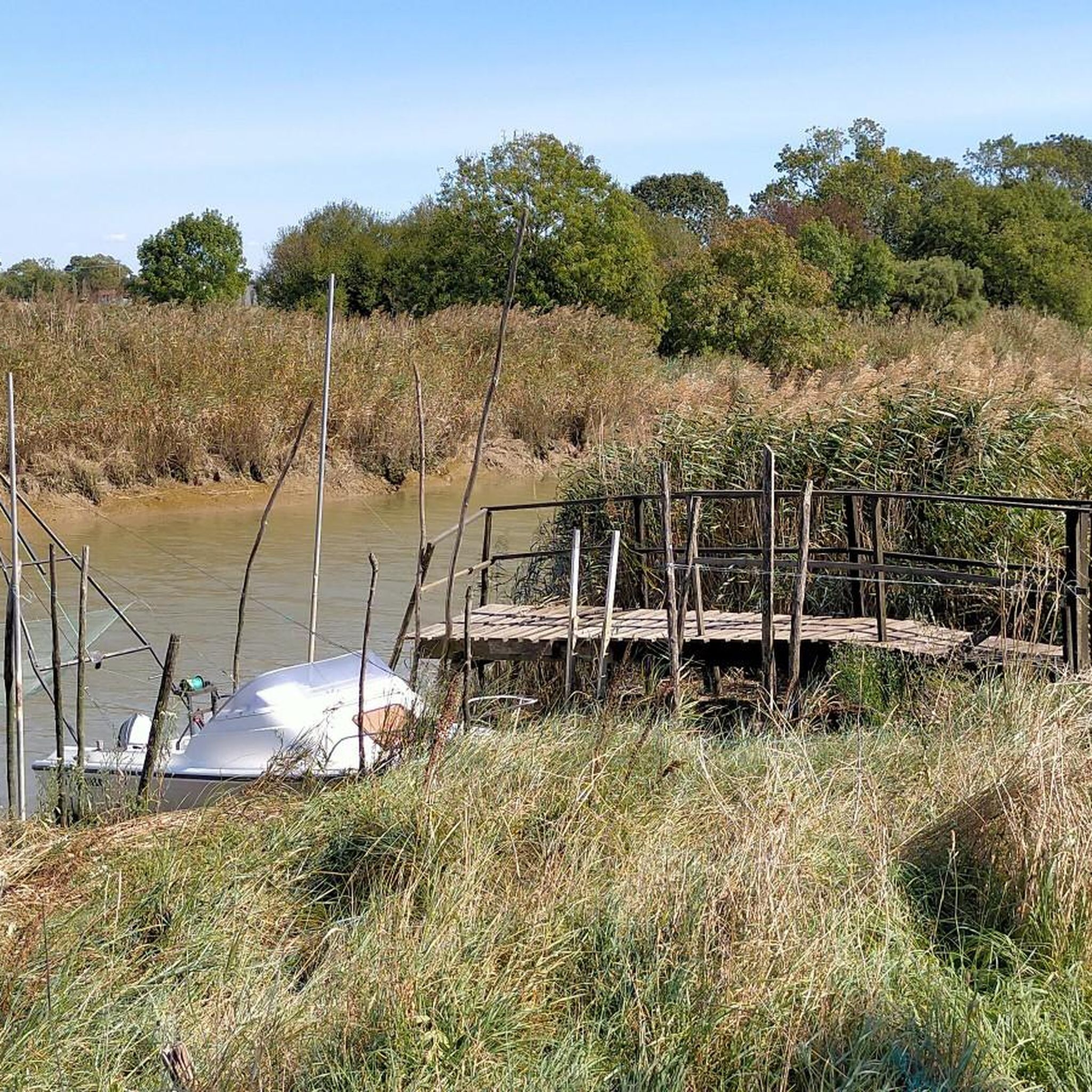
The port of Ribérou is a major heritage site in Saujon, bearing witness to a prosperous maritime past linked to the salt and wine trade. Transformed in the 19th century by ambitious works, it has now been reinvented as a place for living, relaxation, and preserving local history. 🛶 Origins and the Middle Ages The port of Ribérou takes its name from the Latin word ripa ("riverbank") or the Occitan word ribèira ("river"). It is located at the head of the Seudre estuary. It existed as early as the 11th century and became an important river and sea port thanks to its strategic position at the head of the estuary, used particularly for the salt trade—then called "white gold"—a highly sought-after product for preserving food. 🚢 Medieval Period and International Trade With the opening of British markets during the reigns of Eleanor of Aquitaine and Henry II Plantagenet, ships laden with wool, salt, wine, and other goods flocked to Ribérou. In the 16th century, the port exported local wines (such as cognac and pineau) throughout Europe. In 1577, during the Wars of Religion, the port was a strategic site: troops were stationed there, and battles took place. 🏗️ Decline, Reconstruction, and the 19th Century The estuary gradually silted up, making navigation difficult. By 1691, only smaller vessels could dock there. During the French Revolution, the sale of the tidal mill, which helped remove sediment, worsened the silting, leading to the port's decline. A modernization project began in 1822, but it wasn't until 1839 that an ambitious program was launched under the impetus of Jules Dufaure—a native of Saujon and Minister of Public Works—with the construction of sturdy quays, slipways, a lock bridge (marking the boundary between fresh and salt water), and reception facilities. In 1842, the work was completed, and the main quay was named Quai Dufaure in honor of this political support. 📉 Gradual Decline and Modernization The arrival of the railway in 1876 and the persistent problems of silting led to a decline in the port's traditional commercial activity, already facing competition from other transport networks. In the 20th century, the port gradually lost its economic importance but remained active for traditional fishing and became a place for pleasure boating, leisure, and local culture. Urban and tourism development projects (particularly in 2011–2012) modernized the port while preserving its historical charm. 🌊 Today The port of Ribérou is now a small fishing and pleasure port, much appreciated for its walks along the Seudre River, water sports (canoeing, kayaking, paddleboarding, etc.), and seasonal events.
0
0
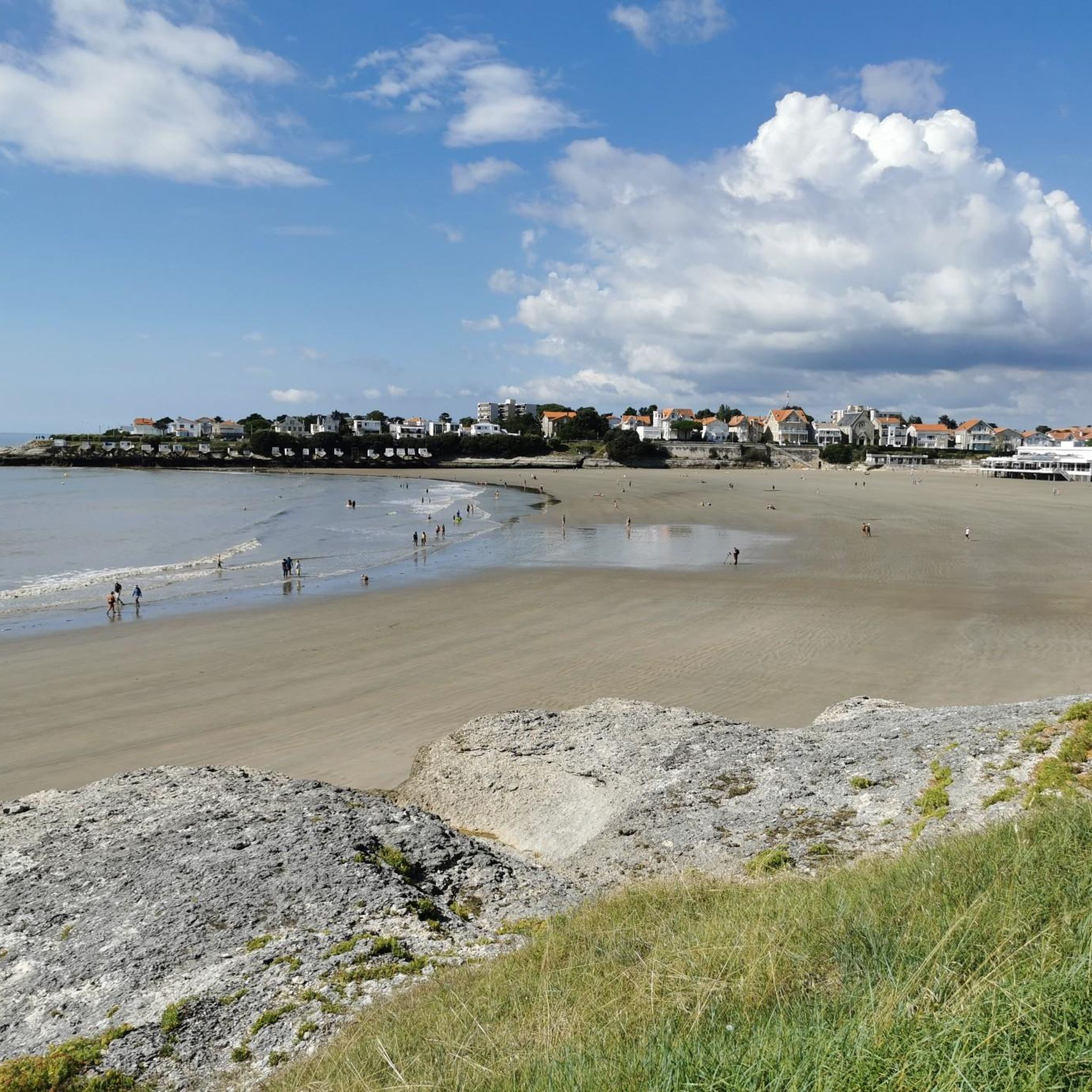
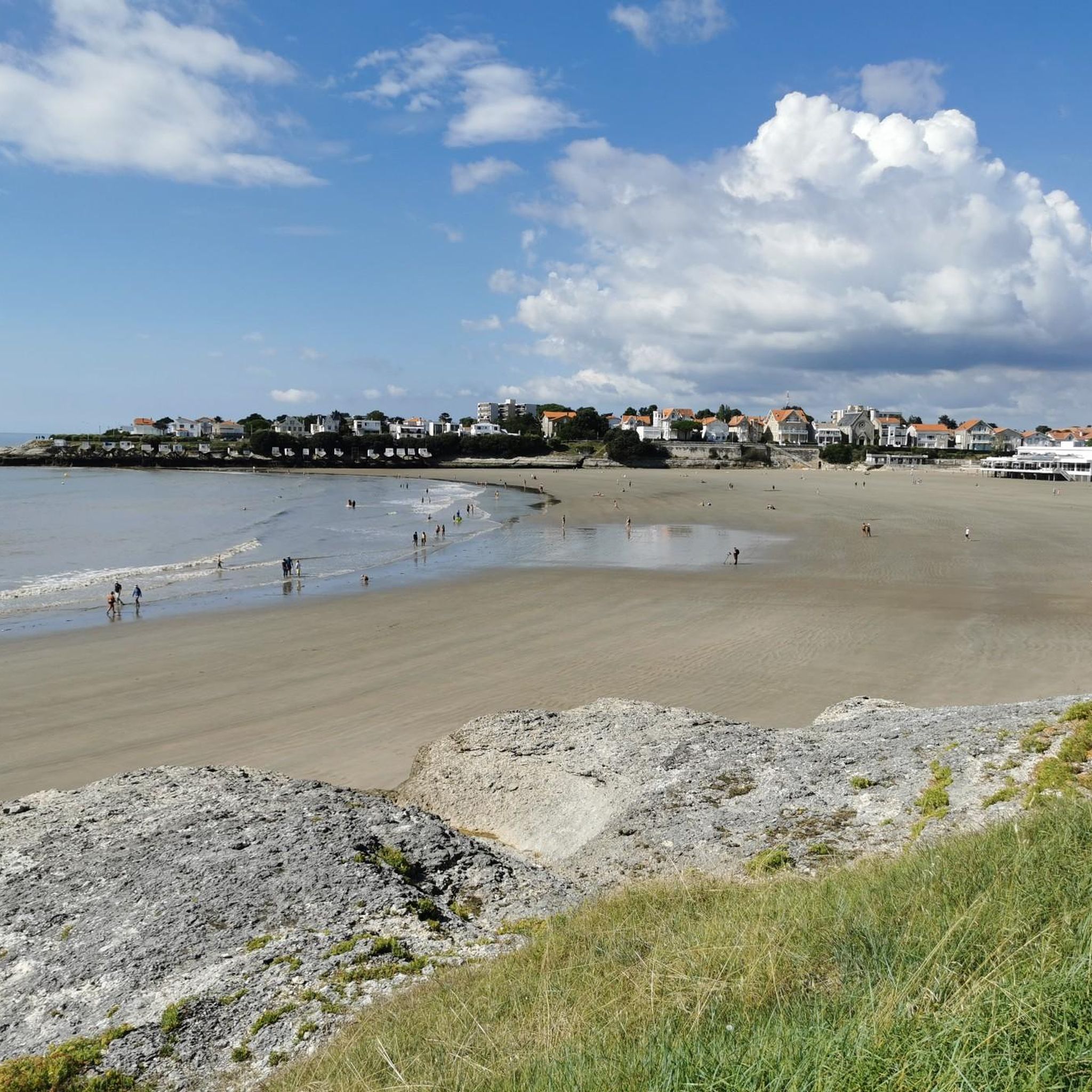
🏖️ General Overview Chay Beach is a family-friendly, fine sandy beach located in Royan (Charente-Maritime), on the Côte d’Argent promenade between Pigeonnier Beach and Pointe du Chay. It stretches for approximately 200 meters and boasts a pleasant natural setting, with a cove bordered by rocks typical of the Charente coastline. 🏝️ Features • 🌊 Beach type: fine sand, sheltered cove. • 🏄♂️ Atmosphere: relatively calm and family-friendly, ideal for children and vacationers seeking relaxation away from the large urban beaches. • 🐾 Pets: prohibited from April 1st to September 30th. • 🫧 Water quality: excellent (Blue Flag label awarded for 2025). 🧭 Lifeguard and Safety • Swimming is supervised during the season (June to early September), with areas marked by red and yellow flags. • The area is classified as a Category 3 "Supervised Beach" and lifeguards are present during the indicated hours. 🪑 Amenities On-site, you can find: • 🏖️ Sun loungers, parasols, and mattresses for rent. • 🚿 Foot rinse and public restrooms. • 📶 Wi-Fi access, first aid station, and an area accessible to people with reduced mobility (assistance may be required depending on the slope). • 🍴 Beachfront restaurant ("Le Chay" bar-restaurant with sea views). 🚶♂️ Atmosphere and Activities • 🎈 Ideal for families and leisurely strolls. • 🌞 People come here for swimming, playing on the sand, flying kites, or simply relaxing by the ocean. • 🅿️ Parking is available nearby, and the beach is easily accessible on foot or by bike from Royan town center in just a few minutes. 🧭 Practical Tips • 📆 Best time to visit: summer for supervised swimming and full services, but also during the off-season for a more peaceful atmosphere. • ☀️ Arriving early in the morning makes parking easier during peak season. • 🐶 Dogs are not allowed during the summer season; check the signs on site during the off-season.
0
0

The flushing lock is located at the head of the port, between the north bank's embankment and the south bank's quay. A retention basin, occupying the non-navigable Seudre riverbed as far as Saujon, follows the flushing lock. Within the retention basin, rubble stone embankments extend the lock's return walls for a few meters. The lock itself forms a bridge carrying a road. The lock bridge consists of two piers, forming three arches, each housing two gates. On the upstream side of the lock, the piers have semicircular cutwaters. The three bands are stacked and terminate in clamps. The lock ends with a cornice resting on modillions. The cornice follows the shape of the cutwaters. A metal balustrade, also semicircular in shape, is fixed to the top of the lock. This balustrade is framed by two stone moldings. The sluice gate and its upstream and downstream return walls are constructed of dressed stone. The masonry is of medium and regular quality, except for the coping of the return walls, which features large and regular masonry. The upstream north return wall is lower than the one on the south bank. A small parapet of recently constructed white rubble masonry surmounts it. The sluice gate is equipped with metal gates, the modern racks of which are visible. The first sluice gate was built around 1825 on the site of a former tidal mill. During the works carried out between 1839 and 1842, the sluice gate's embankment was modified to allow the passage of vehicles. Between 1847 and 1853, the lock was enlarged to allow for larger flushes, and the reservoir was excavated. Return walls were also built to connect the flushing lock to the riprap. It was then restored in 1865 and completely rebuilt between 1868 and 1869. The lock is 10.50 m wide, and its gates are each 1.50 m wide. The reservoir is 700 m long and has an average width of 30 m.
0
0


for a typical view here on the coast.. the cycle path along the shore is also worth it
0
0
ソジョンでのの人気観光スポット

komootモバイルアプリでインスピレーションを得よう


さらに探索
他の地域の最高のサイクリングルートを見てみましょう。
