ルート

プランナー

機能

アップデート

App

ログインまたはサインアップ

アプリを入手

ログインまたはサインアップ

ルート
Places to see
Mountain passes
フランス
オーヴェルニュローヌアルペス
アルバートビル

ヴァル・ディゼール

ヴァル・ディゼールの峠・トップ20

風景を楽しんだり、上りや下りを満喫したり、峠には楽しみ方がたくさんあります。ヴァル・ディゼールの素晴らしい峠の一覧を参照して、思い出に残るアドベンチャーに出かけましょう。コミュニティのメンバーがコミュニティのために投稿した峠のハイライトは、他のユーザーが実際におすすめする情報なので、どれも信頼できるものです。気に入った峠にさっそく向かってみましょう。

最終更新日: 8月 20, 2026

イゼラン峠

ハイライト • 山道

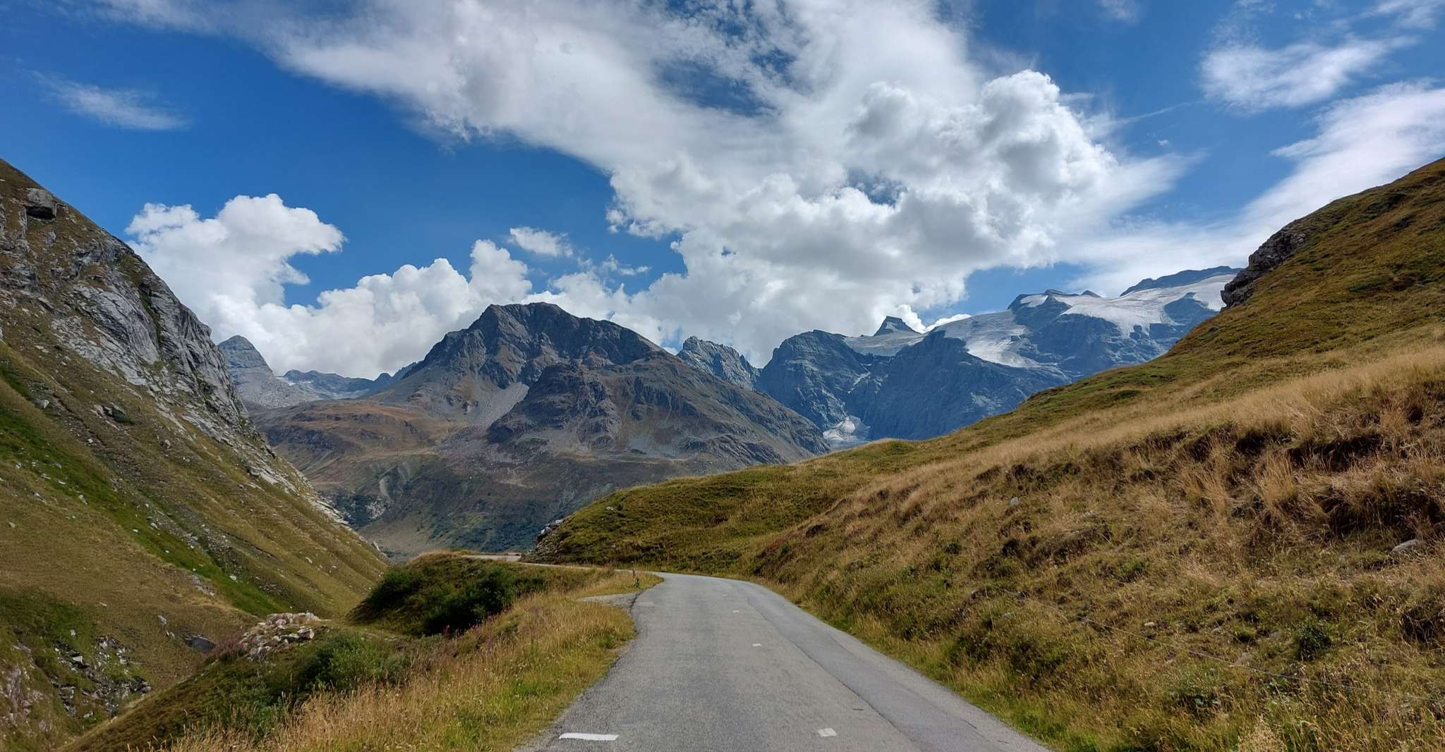
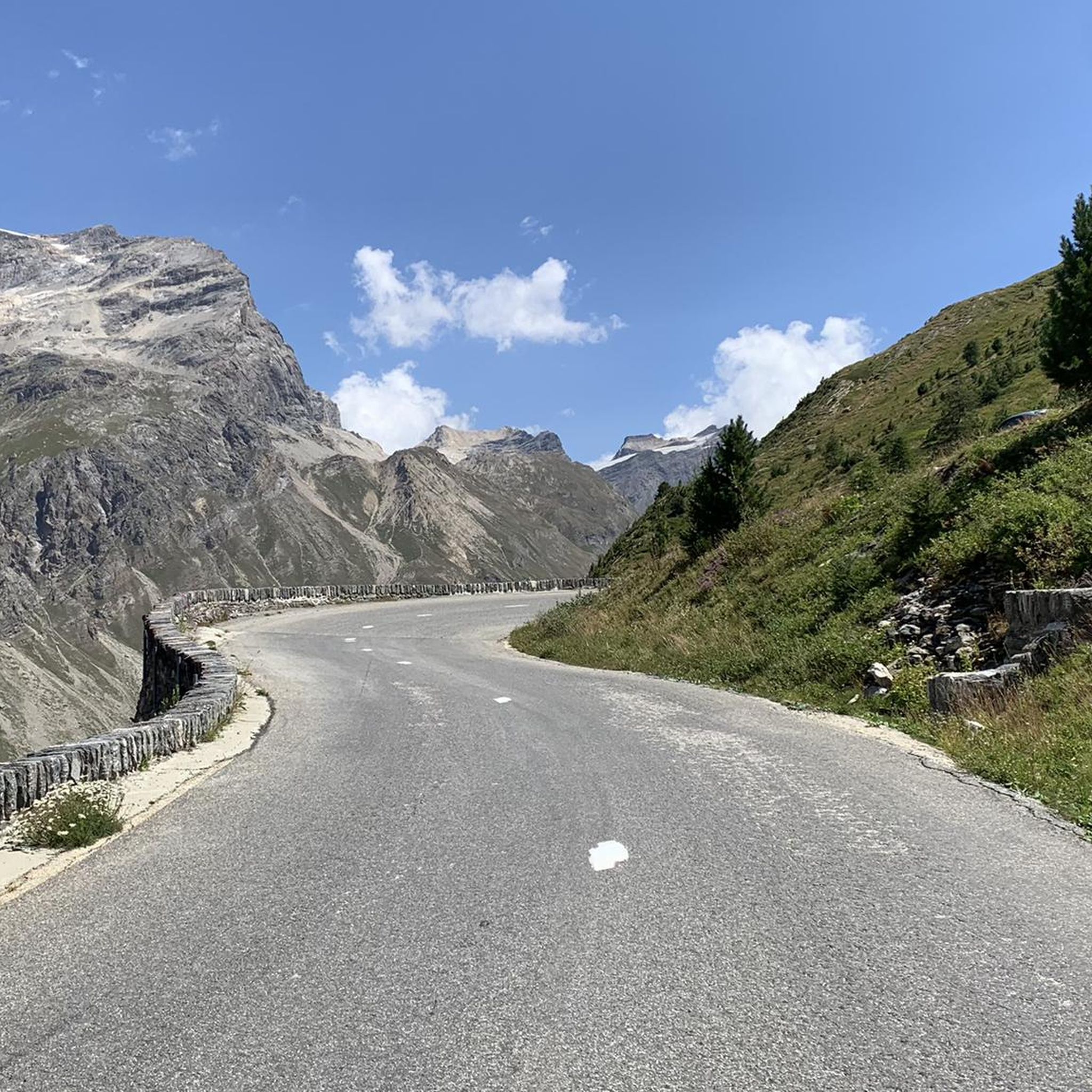
Located at 2770 meters above sea level, the Col d'Iseran is the highest European asphalt pass. There are magnificent views of Val-d'Isère and the Maurienne. Egan Bernal won his Tour de France 2019 with tremendous action at this summit.

翻訳者 Google •

役立つ情報

によるものです

ここでのライドを見る

スマートフォンに送信

保存

コル・ド・ラ・マドレーヌ

ハイライト • 山道

The Col de la Madeleine from Lanslebourg-Mont-Cenis is 6.7 kilometers long with a total elevation gain of 347 meters. The average gradient is 5.2% with maximum gradients of 10%. It connects Lanslebourg-Mont-Cenis with Bonneval-sur-Arc.

翻訳者 Google •

役立つ情報

によるものです

保存

今すぐサインアップして、こんな場所を発見しよう

最高のシングルトラック、ピーク、その他のエキサイティングなアウトドアスポットのおすすめを受け取ろう。

無料新規登録

コッレ・デル・ニヴォレ

ハイライト • 山道

Leave performance anxiety aside and take a few stops to enjoy the surrounding panorama: the Colle del Nivolet is one of the most panoramic climbs in the Alps. The final hairpin bends overlooking the lakes are truly special.

翻訳者 Google •

役立つ情報

によるものです

保存

イゼランのボネヴァル側

ハイライト • 山道

Starting from Bonneval sur Arc (south side) fill up with water at the fountains of this magnificent mountain village. The climb is very trying, you have to make the most …

翻訳者 Google •

役立つ情報

によるものです

保存

Beautiful challenging climb, this is the final part with a fantastic panorama !!!

翻訳者 Google •

役立つ情報

によるものです

保存

無料でサインアップして、さらに多くの山道を発見しましょう ヴァル・ディゼールでの。

無料新規登録

すでにアカウントをお持ちですか?

無料アカウントで今日から始めよう

次の冒険が待っています。

ログインまたは登録
ヴァル・ディゼール周辺で人気

ブリアンソンからランドリーへのハイキング - ユーロパトレイル (GR 5)

ルート・デ・グランド・アルプ

ブリアンソンからAostaまで - アルプスを渡る(パート2)

みみの影地エブックト — 15交の影山が 3000m アルパーが上です

ヨーロッパの屋根の上 - シーズンオフのフランスコルディゼランをサイクリング

タランテーズ谷の壮大なアルプスの砂礫道路

Legendary passes of the Tour de France

ヴァル・ディゼールでのハイキング

ヴァル・ディゼールのランニングコース

ヴァル・ディゼールのMTBトレイル

ヴァル・ディゼールでのの他の冒険

ブリアンソンからランドリーへのハイキング - ユーロパトレイル (GR 5)

ハイキングのコレクション によって

SimonWicart

コミュニティからのヒント

PinionRadlerJan
6月 15, 2026, Bonneval side of Iseran

私にとってはこれまでずっと下りです。

Google翻訳による翻訳

0

0

Challenging climb due to slopes and altitude. The most challenging part is the one between the two plateaus, it is worth saving money because the slope is there and after the second plateau the altitude also adds up. But the landscape is wonderful, especially in June, when it has just been cleared of snow and you can still cycle between the white walls.

Google翻訳による翻訳

0

0

At an altitude of 2625 metres, Colle del Nivolet marks the border between Piedmont and Valle d'Aosta. Going up from Ceresole Reale the road is entirely asphalted and therefore quite busy. Spectacular views 🤩🏔️

Google翻訳による翻訳

2

0

If the temperature allows it (in July it should be perfect) a dip in the lake is a fantastic emotion! The water is chilly (4 or 5°) but after the effort made to climb it gives a crazy charge!

Google翻訳による翻訳

0

0

Mineral and wild landscapes. Two welcome flats. Do not neglect the altitude (2700m)

Google翻訳による翻訳

0

0

Located at 2770 meters above sea level, the Col d'Iseran is the highest European asphalt pass. There are magnificent views of Val-d'Isère and the Maurienne. Egan Bernal won his Tour de France 2019 with tremendous action at this summit.

Google翻訳による翻訳

3

0

The Col de la Madeleine from Lanslebourg-Mont-Cenis is 6.7 kilometers long with a total elevation gain of 347 meters. The average gradient is 5.2% with maximum gradients of 10%. It connects Lanslebourg-Mont-Cenis with Bonneval-sur-Arc.

Google翻訳による翻訳

2

0

The Col de l'Iseran, which culminates at 2,764 meters above sea level, is the highest road pass in the Alps. Very popular with cyclists, it is also used by travelers on the GR 5. Surrounded by mountains, the pass takes on a picturesque appearance, especially during major sporting competitions such as the Tour de France. Perhaps you will cross the pass at the same time as the polka dot jersey?

Google翻訳による翻訳

1

0

ヴァル・ディゼールでのの人気ルート

ヴァル・ディゼールでのハイキング

ヴァル・ディゼールでのの人気観光スポット

Places to see

Store rating

komootモバイルアプリでインスピレーションを得よう

無料のkomootアカウントがあれば、無限のアウトドアコースを簡単に見つけてカスタマイズし、ナビで案内できます。

または

今すぐkomootに参加しよう

Store rating

さらに探索

これらのガイドでさらに壮大な山道を見てみましょうヴァル・ディゼールでの:

オトリュスサンニコララシャペルユジーヌビューフォートフルメノートルダムドベルコムラ・ジェッタブールサンモーリスティーニュSéezクレスト・ヴォランレ・ベルヴィルサント・フォイ・タランテーズ(Sainte-Foy-TarentaiseAired'adhésionduParcNationalde la Vanoiseクイージュラ・プラーニュ-タランテーズコエノレ・シャペルアイム・ラ・プラニュマルトヴィラール=シュル=ドロンPralognan-La-VanoiseChampagny-En-Vanoiseサンジャンドベルヴィルラ・レシェールLes Alluesサン・ボン・タレンテーズ(Saint-Bon-Tarentaiseツールツールツールツールツールツールツールツールツールツールツールツールツールツールツールツールツールツールツールツールツールツールツールツールツールツールツールツールツールツールツールツールツールツールツールツールツールツールツールツールツールツールツールツールツールツールツールツールツールツールペイジー・ナンクロワ水星アロンダーズVillarogerセビンモンタイユールテネゾールモンタニーラ・バティセザルシュプラネモンヴァレザンLa PerrièreBrides-Les-BainsプランシェリーヌFeissons-Sur-Isèreヴェラン=アルヴェイエセールブレGrésy-Sur-Isèreパリュボゼルサラン・フォンテーヌヴェントンサンマルセルノートルダムデュプレクレリーオートクールフェイソン-シュル-サランモウチエランドリグリニョンエギュブランシュGilly-Sur-IsèreトゥルノンサンポールシュルイエールノートルダムデミリエールParc National De La Vanoise (Aire D'Adhésion)ヴァノワーズフロントゥネセントビタルレ・ザヴァンシェ=ヴァルモレルルボワロネボンヴィヤールモンシオンボヌヴァルサンテレーヌシュールイゼール

近くのアドベンチャーガイド

RéserveNaturelledelaBailletazでやるべきこと

background

新しいピークを征服する準備をしよう

無料でサインアップ

探検する
ルートルートプランナー機能バウチャーを利用ハイキングMTBトレイルロードバイクルートバイクパッキングサイトマップ
アプリをダウンロード
SNSでフォローする

© komoot GmbH

プライバシーポリシー