セグニーのおすすめウォーキング&ハイキングルート
4.4
(1676)
13,345
ハイカー
408
ハイキング
セグニー周辺でのハイキングは、景色を満喫するのに最適な手段のひとつですが、適切なハイキングルートを見つけることは簡単ではありません。 セグニー周辺の人気ハイキング&ウォーキングコースを参考にすれば、行きたいルートをすぐに見つけられます。
最終更新日: 9月 1, 2026
4.4
(7)
30
ハイカー
10.1km
02:37
60m
60m
中程度のハイキング. ある程度のフィットネスレベルが必要です。 進みやすいルートです。あらゆるスキルレベルに適しています。
5.0
(1)
18
ハイカー
23.8km
09:09
1,290m
1,290m
難しいハイキング. 標準以上のフィットネスレベルが必要です。 安定して歩行できる技術、丈夫な靴、高標高地での登山経験が必要です。

無料新規登録
4.7
(3)
11
ハイカー
6.25km
01:38
50m
50m
初級者向けハイキング. あらゆるフィットネスレベルに適しています。 進みやすいルートです。あらゆるスキルレベルに適しています。
7
ハイカー
20.9km
08:18
1,300m
1,300m
難しいハイキング. 標準以上のフィットネスレベルが必要です。 安定して歩行できる技術、丈夫な靴、高標高地での登山経験が必要です。
9
ハイカー
17.0km
07:22
1,250m
1,250m
難しいハイキング. 標準以上のフィットネスレベルが必要です。 全般的に進みやすいルートです。安定して歩行できる技術が必要です。
さらに多くのルートや他のユーザーのおすすめ情報を確認できます。
無料新規登録
すでにアカウントをお持ちですか?
おすすめのツアーは他のkomootユーザーが実際に経験した何千ものアクティビティに基づいています。
無料アカウントで今日から始めよう
次の冒険が待っています。
ログインまたは登録



コミュニティからのヒント

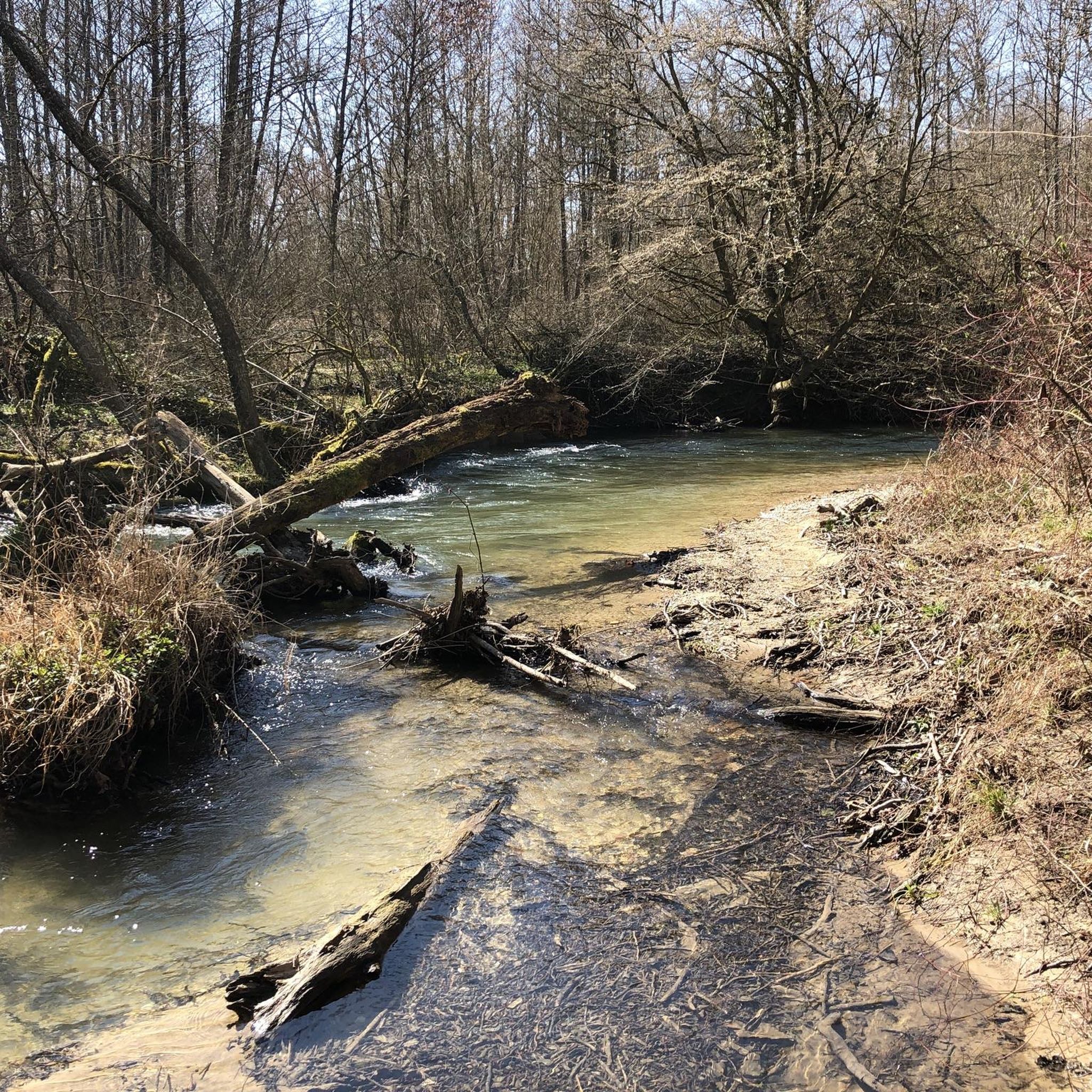
It's rare to find such beautiful, unspoiled rivers. There are alternating small waterfalls, wild spots, and quiet areas where the water accumulates. Fallen trees are welcome to stay. The path always follows the banks. Suitable footwear and a little surefootedness won't hurt.
0
0
A very beautiful path along the natural river. You can hear the rippling water. Quiet areas alternate with rapids and small waterfalls.
1
0

Beautiful with snow too!
1
0

Fantastic view - fantastic path. I was there for the first time in October 1976.
1
0
You should bring sturdy, non-slip shoes and some experience with this type of terrain.
1
0

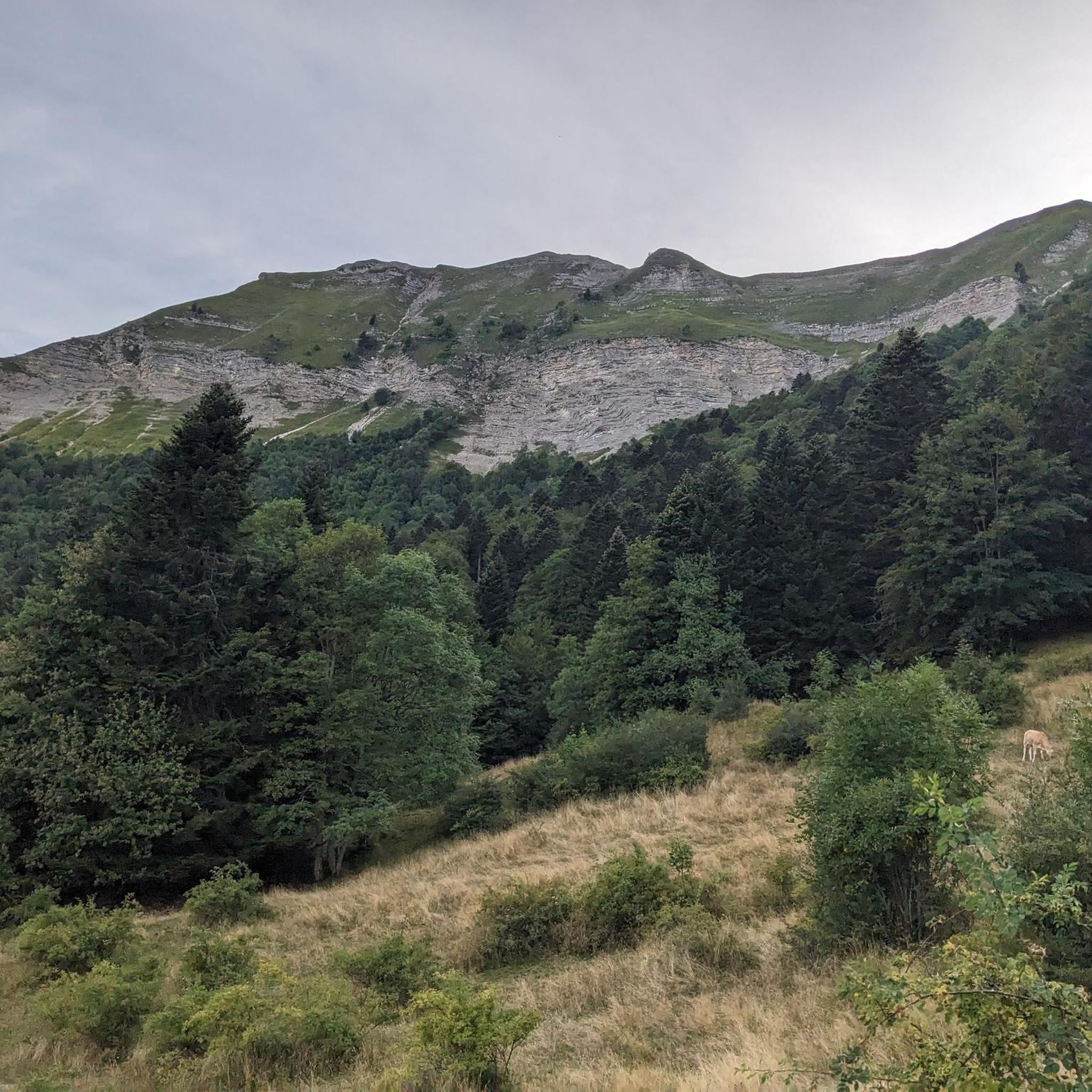
attention ! only the return trip by the same path is possible between Petit Montrond and Grand Montrond from June 1 to September 30. the loop passing through private mountain pastures is closed between these dates. no particular difficulty except for a few rocky passages and a slight difference in altitude. a pair of shoes with a stiff, grippy sole can help, but it's also doable in sneakers, as long as you're used to mountain paths.
1
0

Altitude: 1596 m, the view is magnificent. View of the entire Lake Geneva basin, Alps and Mont Blanc
0
0
This trail runs along an alpine pasture where Patous are present: The Patou or protection dog: What attitude should you adopt? When hiking, it is common to come across flocks of sheep or goats guarded by protection dogs, called Patous. These dogs, formidable against predators such as wolves, bears and lynx, can frighten hikers with their barking. The Patou protects the flocks in total autonomy. Its main role is to dissuade intruders and alert the shepherd. Raised among the sheep from a young age, it learns to protect them permanently, often in groups. To avoid problems with a Patou: - Identify the pasture areas before leaving. Keep your distance and go around the flocks if possible. - In the event of an encounter, remain calm, turn around slowly or stop to let the dog sniff you. - Do not try to pet or feed the animals, avoid sudden movements, do not run, and avoid taking pictures. For trail runners: - Do not run when approaching a herd. - Take off your headphones to hear the dog barking. By adopting these behaviors, you will be able to coexist peacefully with the protection dogs during your hikes. For more information: Pasto Kezako: https://www.pasto-kezako.fr/ Map Patou, where are the protection dogs?: https://www.pasto-kezako.fr/ou-sont-les-chiens-de-protection-2/ The toolbox for awareness: https://www.pasto-kezako.fr/sensibiliser-au-pastoralisme-boite-a-outils/
1
0

komootモバイルアプリでインスピレーションを得よう


さらに探索
他の地域の最高のハイキングを見てみましょう。
