ミレのおすすめウォーキング&ハイキングルート
4.3
(11)
77
ハイカー
8
ハイキング
ミレ周辺でのハイキングは、景色を満喫するのに最適な手段のひとつですが、適切なハイキングルートを見つけることは簡単ではありません。 ミレ周辺の人気ハイキング&ウォーキングコースを参考にすれば、行きたいルートをすぐに見つけられます。
最終更新日: 8月 30, 2026
3.0
(1)
6
ハイカー
11.7km
03:04
100m
100m
Hike the Bac de Ménil loop from Daon, a moderate 7.2-mile trail featuring the Mayenne River towpath and a unique ferry crossing.
3
ハイカー
4.97km
01:16
20m
20m
An easy 3.1-mile (5.0 km) hiking loop from Miré, exploring the Ruisseau de la Savinère and local natural features in 1 hour and 16 minutes.

無料新規登録
4.5
(2)
13
ハイカー
10.2km
02:46
140m
140m
中程度のハイキング. ある程度のフィットネスレベルが必要です。 進みやすいルートです。あらゆるスキルレベルに適しています。
3
ハイカー
17.8km
04:33
70m
70m
中程度のハイキング. ある程度のフィットネスレベルが必要です。 進みやすいルートです。あらゆるスキルレベルに適しています。
3
ハイカー
9.28km
02:24
60m
60m
中程度のハイキング. ある程度のフィットネスレベルが必要です。 進みやすいルートです。あらゆるスキルレベルに適しています。
さらに多くのルートや他のユーザーのおすすめ情報を確認できます。
無料新規登録
すでにアカウントをお持ちですか?
おすすめのツアーは他のkomootユーザーが実際に経験した何千ものアクティビティに基づいています。
無料アカウントで今日から始めよう
次の冒険が待っています。
ログインまたは登録



コミュニティからのヒント


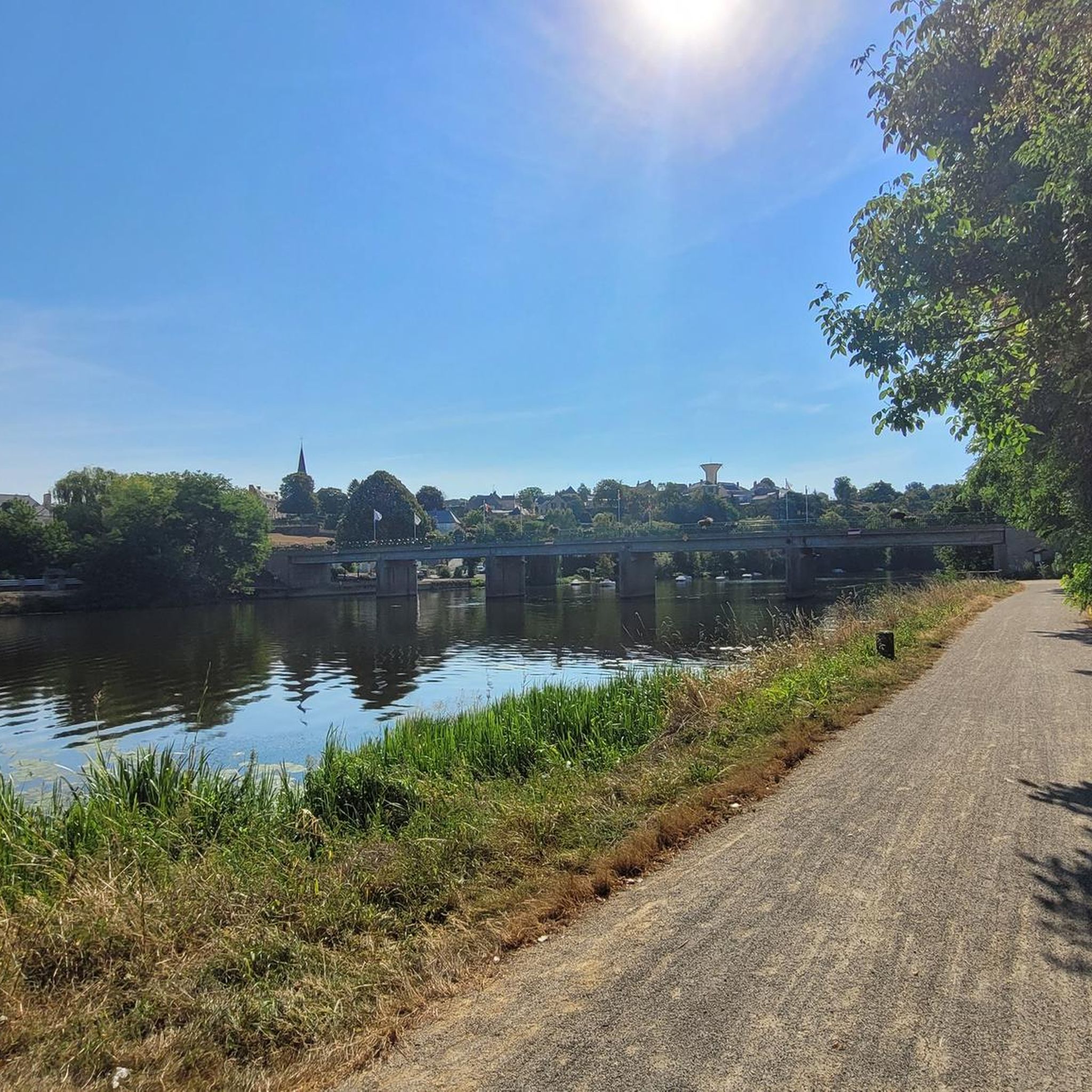
Magnificent site with camping and a waterfront café. Relaxing and pleasant.
0
0

The Dolmen of the Maison des Fées in Miré is a megalithic monument dating from the Neolithic period, composed of a large stone slab resting on four standing stones. It is also known as the Fairy House Dolmen, as legend has it that it was built by fairies who left their footprints on the stone.
2
0
The Saint-Mélaine church in Miré is a Romanesque church dating from the 11th century. You can admire the impressive wooden vaulted ceiling, decorated with scenes from the Old and New Testaments, as well as the 16th century stained glass windows and the stone altar. The church is open to visitors all year round, from 9 a.m. to 6 p.m. You can also picnic in the nearby park or explore the village of Miré, which has a rich heritage and peaceful atmosphere.
2
0
In the village of Mireé, this small stream opens to form a small pond in the center of the village which is bordered by a grass path. You will enjoy this walk along the water and on the soft green grass.
2
0
If you are looking for a unique way to discover Mayenne, you can try the Bac de Ménil, the last ferry in the department. You can cross the river on foot, by bike, on horseback or even by car, and enjoy the panoramic views of the countryside. The Bac de Ménil runs from April 15 to September 15 and is free. You can also enjoy the nearby picnic area and playground. The Bac de Ménil is an excellent option for a fun and original hike.
2
0
The Mayenne towpath is one of the most beautiful greenways in France. It crosses the department of Mayenne and offers an 85 km route in the countryside. You will be able to appreciate the views of the castles, the locks, the fauna and the flora all along the route. The greenway begins in the town of Mayenne and ends in Lion-d'Angers. You can explore it on foot, by bike or even on horseback. The Mayenne towpath is also part of the Vélo Francette, a cycle route that connects Normandy to the Atlantic coast. Whether you want to do a short loop or a bigger adventure, the Mayenne Towpath is a perfect choice for a relaxing and rewarding hike.
2
0

komootモバイルアプリでインスピレーションを得よう


さらに探索
他の地域の最高のハイキングを見てみましょう。
