バイアースドルフのおすすめウォーキング&ハイキングルート
4.5
(187)
1,174
ハイカー
99
ハイキング
バイアースドルフ周辺でのハイキングは、景色を満喫するのに最適な手段のひとつですが、適切なハイキングルートを見つけることは簡単ではありません。 バイアースドルフ周辺の人気ハイキング&ウォーキングコースを参考にすれば、行きたいルートをすぐに見つけられます。
最終更新日: 10月 15, 2026
4.5
(16)
47
ハイカー
6.65km
01:48
90m
90m
初級者向けハイキング. あらゆるフィットネスレベルに適しています。 進みやすいルートです。あらゆるスキルレベルに適しています。
4.6
(11)
64
ハイカー
8.66km
02:12
20m
20m
中程度のハイキング. ある程度のフィットネスレベルが必要です。 進みやすいルートです。あらゆるスキルレベルに適しています。

4.3
(9)
31
ハイカー
7.15km
01:55
80m
80m
初級者向けハイキング. あらゆるフィットネスレベルに適しています。 進みやすいルートです。あらゆるスキルレベルに適しています。
4.7
(6)
61
ハイカー
4.61km
01:10
10m
10m
初級者向けハイキング. あらゆるフィットネスレベルに適しています。 進みやすいルートです。あらゆるスキルレベルに適しています。
5.0
(2)
43
ハイカー
7.73km
01:59
30m
30m
初級者向けハイキング. あらゆるフィットネスレベルに適しています。 進みやすいルートです。あらゆるスキルレベルに適しています。
さらに多くのルートや他のユーザーのおすすめ情報を確認できます。
すでにアカウントをお持ちですか?
おすすめのツアーは他のkomootユーザーが実際に経験した何千ものアクティビティに基づいています。
無料アカウントで今日から始めよう
次の冒険が待っています。

コミュニティからのヒント

コウプヴェイデン:木は剪定されており、それが特徴的な節くれだった外観につながっています。 成長:これらの木は非常に成長が早く、毎年新しく芽吹きます。 水の必要量:ヤナギは湿った場所を好み、日当たりの良い場所で急速に成長します。
0
0
Vogelschutzgebiet Regnitz- und Unteres Wiesenttal 鳥類保護区とは何ですか? 鳥類保護区「Regnitztal und unteres Wiesenttal」の総面積は約1634ヘクタールです。この保護区は、欧州の保護地域ネットワーク「Natura 2000」の一部であり、FFH(動植物生息地)保護区と鳥類保護区(SPA)で構成されています。 SPA地域はなぜそれほど価値があるのですか? この鳥類保護区は、全国的に重要な氾濫原の景観、および湿地と森林地帯で構成されています。これらの構造により、この保護区は、さまざまな鳥類の営巣地および休息地として、地域を超えた重要性を持っています。 「Regnitztal」(6332-471.01)は、保護区内で最大の連続した単一面積で、705ヘクタールを占めます。レクリエーションエリア「Anger- und Ausee」も「Regnitztal」に含まれます。この地域は、特に地上で営巣する鳥類にとって、採餌に理想的な条件を提供し、重要な生息地となっています。この地域の主な特徴的な鳥類は、チドリ、シギ、ヒバリですが、カワセミやカワセミのような水辺の住人も見られます。鳥類だけでなく、ビーバーにとっても理想的な条件が見つかります。 [ 出典:現地のインフォメーションボード ]
1
0
Once upon a time, here sat Maiden Kunigund In the woods on a cool patch of ground, And in the day's great humidity, This coolness was pleasant to her. Soon she felt on her delicate legs Something like wetness, she thought. "Oh, pop!" she said, "I can feel it! There's a waterhole down there!" And our Maiden, that's clear, Curious as she was, Took her hand and her shoe too, And her umbrella as well. She poked and prodded Until the ground loosened, And from the hole, you'd hardly believe it, Grew clay-covered water foam, And after the foam poured forth bright water, Yes, that—that was the Maiden's Spring! And our youth cried: Hurrah! Now we have our Maiden's Spring! [Source: Local plaque]
0
0

Here on the Main-Danube Canal, we look out over the Regnitz meadows and across to the foothills of Franconian Switzerland. A bit of "Franconian Tuscany" too.
0
0


Locks are always a highlight when ships come. The technology never ceases to fascinate me. I like to go hiking along the old "Ludwig Canal"; they had manual locks back then. Compare those from then and now - there is a huge difference in technology - BUT: It worked in the past too. HATS OFF to the pioneers back then!
0
0

The Hausen lock is located at canal kilometer 32.89 at a height of 266.50 m above sea level and has a lifting height of 12.00 m. It is built as an economy lock: part of the water is temporarily stored in basins next to the lock chamber, which are staggered in height. The locking process can be easily observed from the visitor platform.
3
0
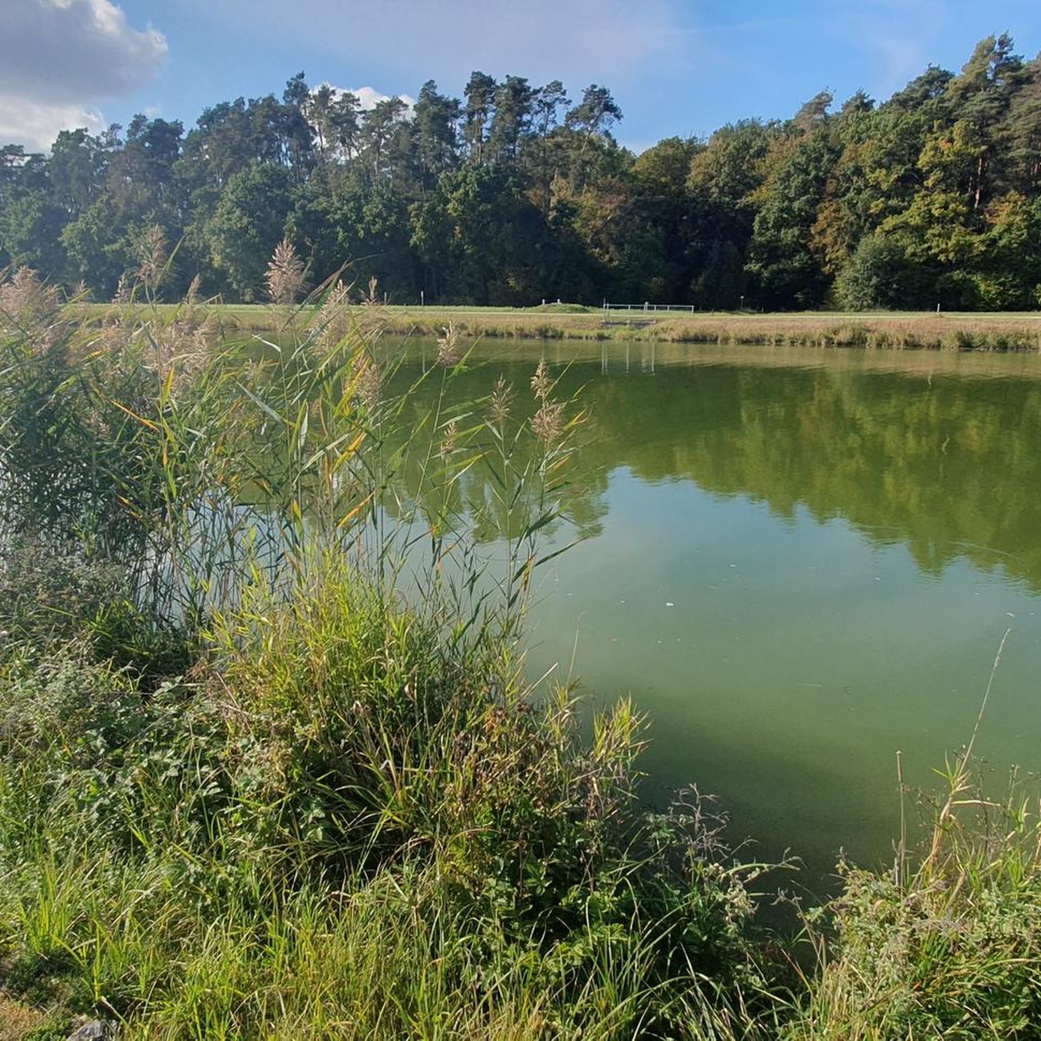
There are spacious sunbathing areas on the western shore. There is a secluded area for nudists at the northern end of the lake, and there is a small beach in the south of the lake. Open fires, barbecues and camping are generally not permitted. The town of Baiersdorf also points out on its website that Angersee is "not a bathing lake". The lake is therefore not supervised.
2
0

komootモバイルアプリでインスピレーションを得よう


さらに探索
他の地域の最高のハイキングを見てみましょう。
