ラブーのおすすめウォーキング&ハイキングルート
4.5
(808)
7,503
ハイカー
11
ハイキング
ラブー周辺でのハイキングは、景色を満喫するのに最適な手段のひとつですが、適切なハイキングルートを見つけることは簡単ではありません。 ラブー周辺の人気ハイキング&ウォーキングコースを参考にすれば、行きたいルートをすぐに見つけられます。
最終更新日: 10月 12, 2026
4.5
(13)
74
ハイカー
19.4km
06:55
780m
780m
難しいハイキング. 標準以上のフィットネスレベルが必要です。 安定して歩行できる技術、丈夫な靴、高標高地での登山経験が必要です。
4.5
(8)
53
ハイカー
8.20km
02:56
430m
430m
中程度のハイキング. ある程度のフィットネスレベルが必要です。 全般的に進みやすいルートです。安定して歩行できる技術が必要です。

5.0
(1)
18
ハイカー
13.2km
04:44
700m
700m
中程度のハイキング. ある程度のフィットネスレベルが必要です。 全般的に進みやすいルートです。安定して歩行できる技術が必要です。
4.0
(2)
23
ハイカー
10.4km
03:36
580m
580m
中程度のハイキング. ある程度のフィットネスレベルが必要です。 進みやすいルートです。あらゆるスキルレベルに適しています。
1.0
(1)
15
ハイカー
9.37km
03:06
400m
400m
難しいハイキング. ある程度のフィットネスレベルが必要です。 安定して歩行できる技術、丈夫な靴、高標高地での登山経験が必要です。
さらに多くのルートや他のユーザーのおすすめ情報を確認できます。
すでにアカウントをお持ちですか?
おすすめのツアーは他のkomootユーザーが実際に経験した何千ものアクティビティに基づいています。
無料アカウントで今日から始めよう
次の冒険が待っています。

コミュニティからのヒント


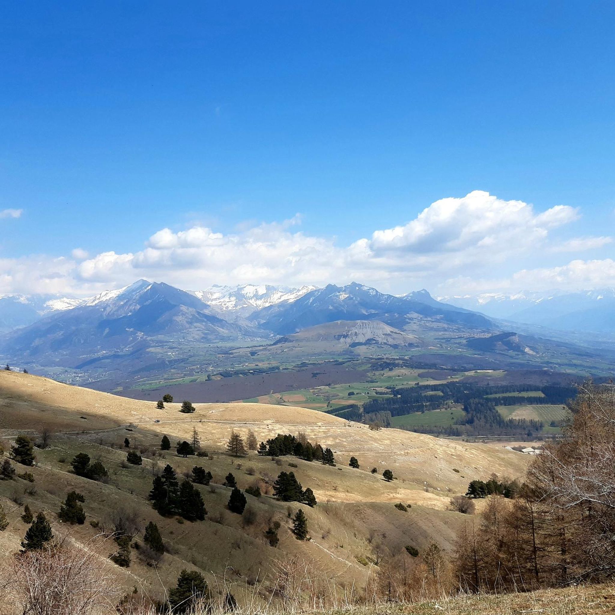
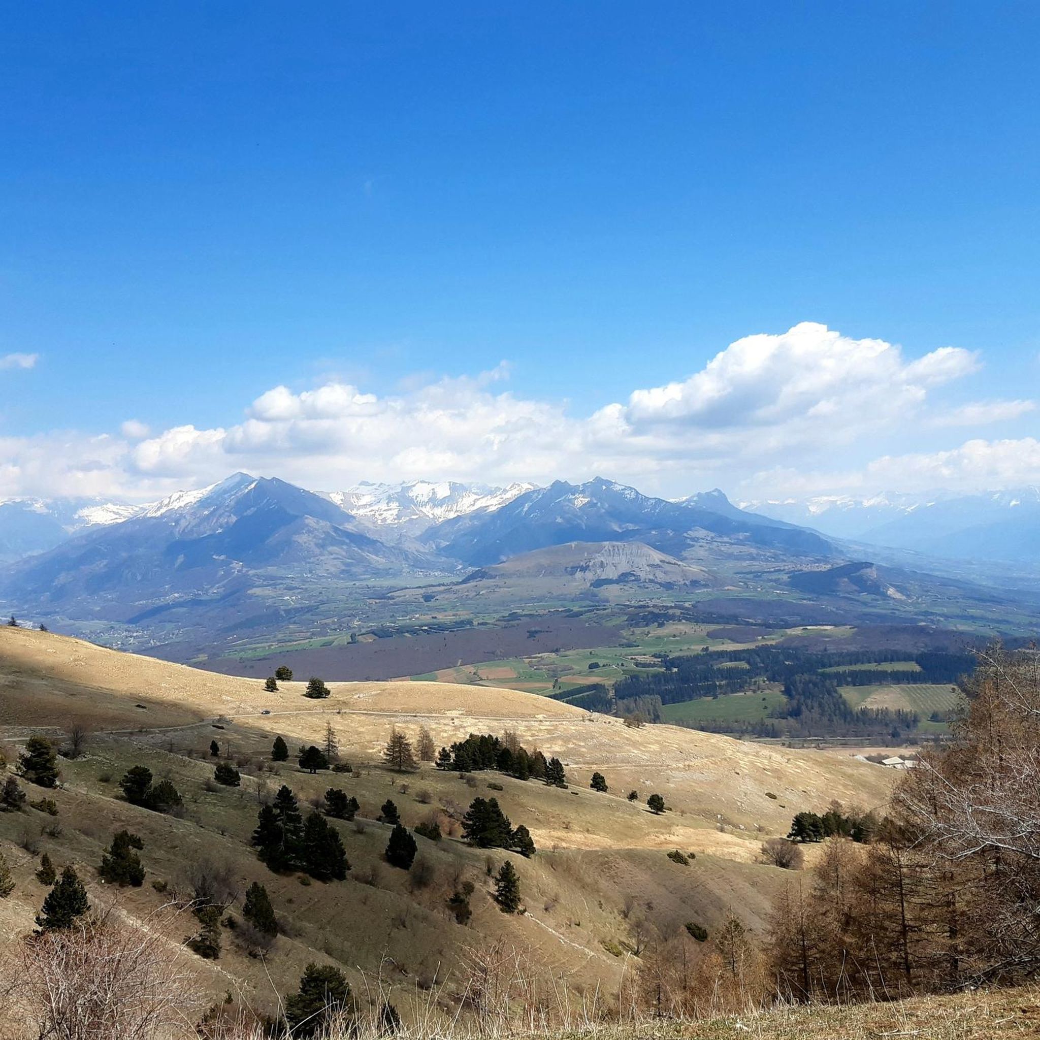
Col BayardからのCol de Gleizeは、オートアルプ地域にある峠です。長さは4.8kmで、合計の標高差は448mです。Col BayardからのCol de Gleizeの平均勾配は10%です。
0
0

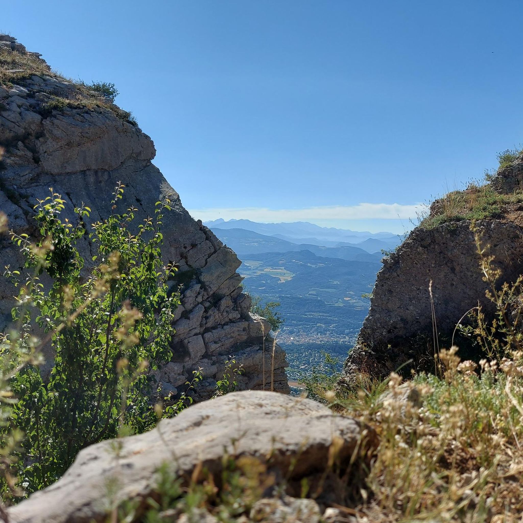
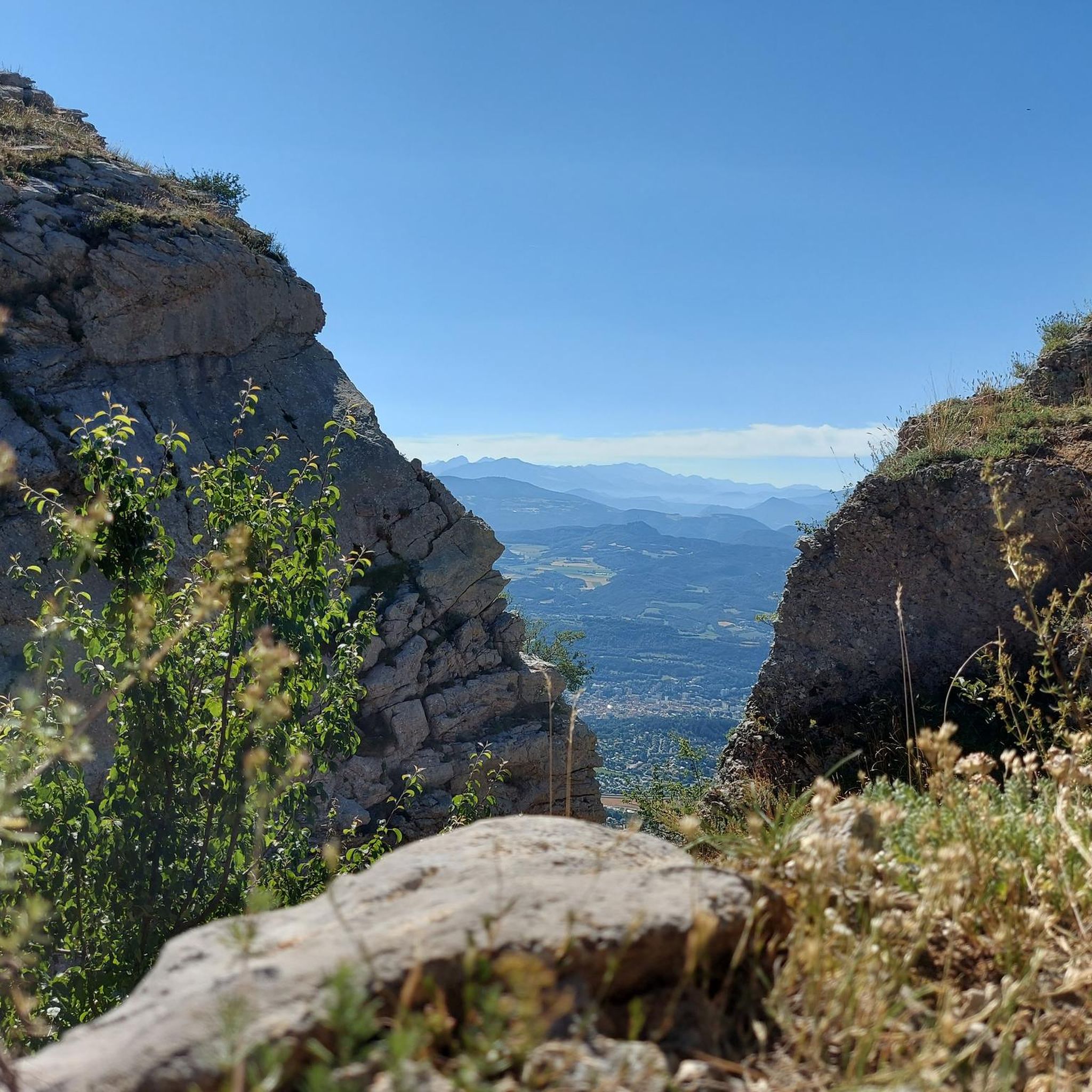
It is a very dangerous climb over the rocks and is definitely not easy for a very long time!
0
0

It is one of the highest bocages in Europe. These landscapes are typical in France, but this one is one of the best preserved. It has a superb network of beech hedges, crops, meadows and woods which attracts beautiful biodiversity and many birds.
0
0
The Col de Gleize car park is located next to a designated picnic area. It is the starting point for many hiking trails that intersect here.
0
0

It is accessible by car via a pretty narrow road and has parking as it is the starting point for many trails.
1
0
From the Col de Gleize, the Greysinière peak seems a little neglected by hikers. Most head mainly towards the peak of Gleize, however the climb is pretty and then a fantastic ridge path on the rocks (for experienced hikers the ridge path after the peak). So I recommend going up there!
2
1

Km 18 to km 22 too dangerous to cycle. Also a beautiful trail
0
0
ラブーでのの人気観光スポット

komootモバイルアプリでインスピレーションを得よう


さらに探索
他の地域の最高のハイキングを見てみましょう。
