モエズのおすすめランニングルート
4.2
(131)
6,800
ランナー
275
ランニング
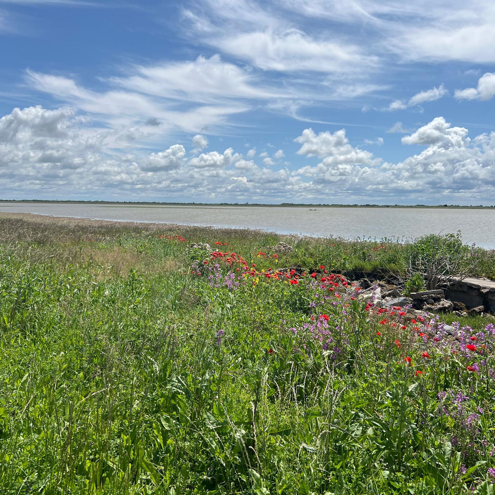
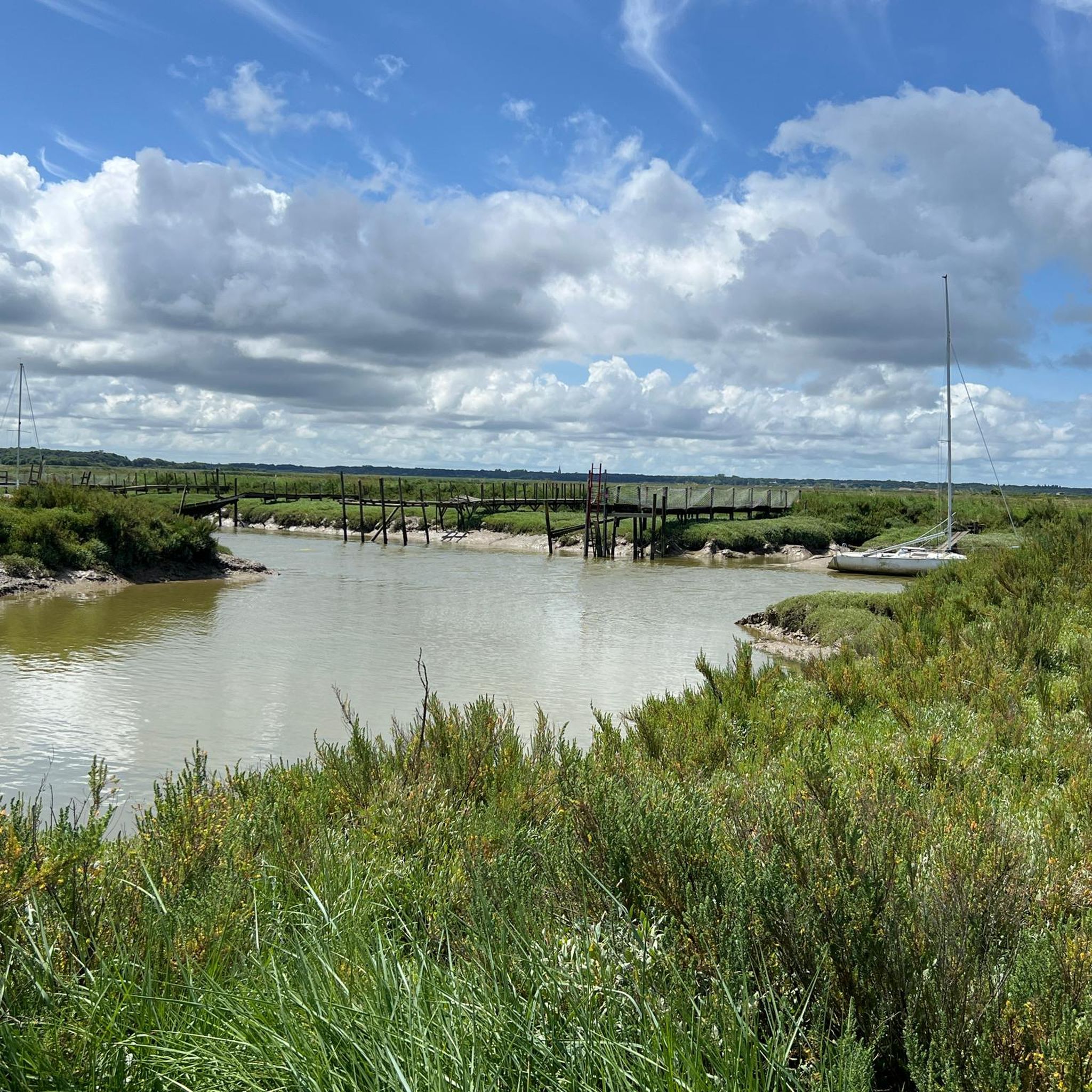
Moëze周辺のジョギングルートは、一般的に平坦な地形と海岸地域や水路に近いことが特徴です。この地域には、マレ・ド・ブロアージュ(Marais de Brouage)やモーズ=オレロン国立自然保護区(Moëze-Oléron National Nature Reserve)を含む広大な湿地帯があり、静かな環境を提供しています。これらのエリアには、高低差がほとんどないルート網があり、様々な体力レベルに適しています。この地域の低地のため、わずかな起伏はランニングに理想的な緩やかな丘となっています。
Moëze周辺のベストジョギングルート
- 最も人気のあるジョギングルートは、ロシュフォール空軍基地721からのランニングループで、距離は3.1マイル(5.0 km)、所要時間は約31分です。このルートは、平坦な地面での適度なランニング体験を提供します。
- 地元ランナーに人気のもう一つのルートは、イエールからのイエール~ポルト・デ・イエールループで、距離は11.1マイル(17.8 km)の難易度の高いルートです。この長いルートは、高低差が非常に少ない地元の風景を巡る、長時間のランニングチャレンジを提供します。
- 地元ランナーに愛されているもう一つのルートは、ロシュフォール空軍基地721からのランニングループで、距離は2.2マイル(3.5 km)で、開けた地形を通り抜け、所要時間は約22分です。
- Moëze周辺のジョギングは、平坦な海岸沿いの道、開けた野原、地元の町に近いルートが特徴で、初心者向けのルートからより挑戦的な距離まで、様々なレベルのオプションを提供しています。
- Moëzeのルートは、komootコミュニティから高く評価されており、80件以上のレビューで平均4.4つ星を獲得しています。5000人以上のランナーがkomootを利用して、Moëzeの多様な地形を探検しています。
最終更新日: 10月 7, 2026
37
ランナー
4.85km
00:31
20m
20m
初級者向けランニング. あらゆるフィットネスレベルに適しています。 全般的に舗装された状態です。あらゆるスキルレベルに適しています。
23
ランナー
9.63km
01:05
20m
20m
中程度のジョギング. ある程度のフィットネスレベルが必要です。 全般的に舗装された状態です。あらゆるスキルレベルに適しています。

15
ランナー
17.8km
01:57
10m
10m
難しいジョギング. 標準以上のフィットネスレベルが必要です。 全般的に舗装された状態です。あらゆるスキルレベルに適しています。
10
ランナー
12.8km
01:24
20m
20m
中程度のジョギング. ある程度のフィットネスレベルが必要です。 全般的に舗装された状態です。あらゆるスキルレベルに適しています。
4
ランナー
4.39km
00:27
10m
10m
初級者向けランニング. あらゆるフィットネスレベルに適しています。 全般的に舗装された状態です。あらゆるスキルレベルに適しています。
さらに多くのルートや他のユーザーのおすすめ情報を確認できます。
すでにアカウントをお持ちですか?
おすすめのツアーは他のkomootユーザーが実際に経験した何千ものアクティビティに基づいています。
無料アカウントで今日から始めよう
次の冒険が待っています。

コミュニティからのヒント

fortified village, former port of departure for the Americas, today it is located approximately 1.5km from the shore...
0
0

Right in the middle of the Poitou-Charente marshes, the pretty village of Brouage enhances the landscape with its 16th century fortifications.
0
0

More information can be found here: https://meinfrance.com/brouage-schoenste-doerfer-zitadelle/
0
1

The stronghold of Brouage is a former salt trading port named Jacopolis-sur-Brouage, which became a Catholic war port wanted by Cardinal Richelieu who named it Brouage in 1627 to compete with the Huguenot stronghold of La Rochelle. Brouage is also considered to be perhaps the birthplace of the geographer Samuel de Champlain who participated in the founding and colonization of New France, and who is the founder of the city of Quebec in Canada. A military port on the edge of the Atlantic Ocean until the beginning of the 18th century, the town is today inland and surrounded by marshes. Attention: inside the citadel the streets are almost exclusively paved.
2
0

One could also leave the city by other passages: two posterns, the curtain of the sea, two underground ports in the sides of the bastions of La Brèche and Hiers for navigation by boat in the ditches. There are two powder magazines, that of François d'Espinay de Saint-Luc with four flying buttresses contained 30 tons of powder, that of La Brèche, built by Vauban in 1692, contained 20 tons.
0
1
The walled city's busiest gate connects to the civilian city through which it was originally founded. The Hiers gate was almost completely demolished and was protected by advanced works.
0
1
The village of Hiers built on an old island in the Santon archipelago. At that time, the village was an island in the middle of the Gulf of Saintonge, a gulf which will then fill in over the centuries to become nothing more than a marsh today. The island is part of an archipelago with other islets such as those of Guilletterie, Montboileau, Fremailloux and Érablais. Due to its relatively high altitude allowing to control navigation between the mainland and the island of Oléron, a castle and a priory were built from the eleventh century which depended on the seigneury of Broue. The monks of the Saint-Hilaire church were already exploiting the salt. Jacopolis (Brouage) was founded in 1555 on an old deposit of ballast forming bulges of pebbles and mud. Brouage was the outer port of the village of Hiers, it was first designed without military intentions but to be a trading center. Ten years after its foundation, the city receives a visit from Charles IX. https://fr.wikipedia.org/wiki/Hiers-Brouage#Les_origines
0
1

Rolling limestone track and path winding through the reeds.
0
0
モエズでのの人気観光スポット

komootモバイルアプリでインスピレーションを得よう


さらに探索
他の地域の最高のランニングトレイル & ルートを見てみましょう。
